Slaskie Pot

Lake, Pool, Pond, Freshwater Marsh in Aberdeenshire

Scotland

Slaskie Pot

Estate and farm road approaching group of birch trees The road is on the south side of Lord Arthur's Hill and north of the valley of the River Don. The hills seen dimly in the distance are on the south side of the Don valley.
Estate and farm road approaching group of birch trees Credit: Trevor Littlewood

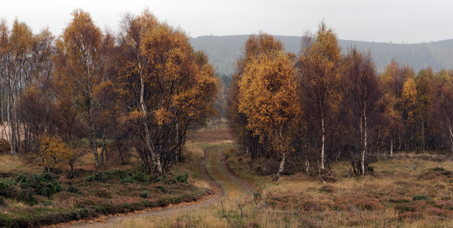
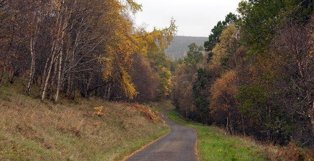
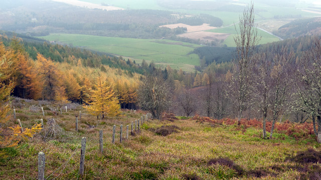
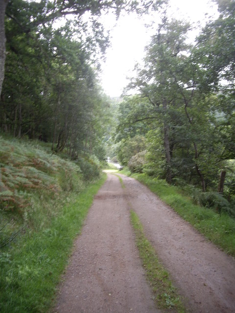
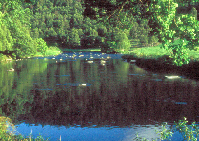
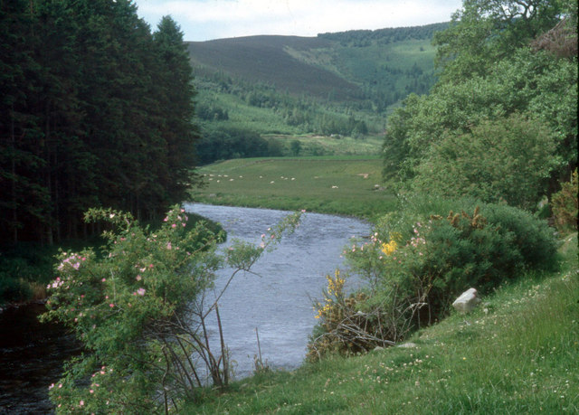
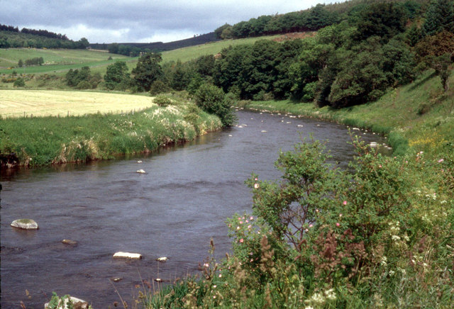
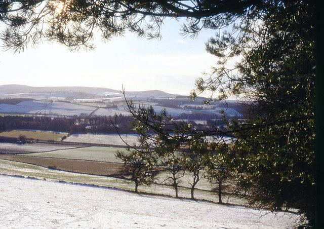
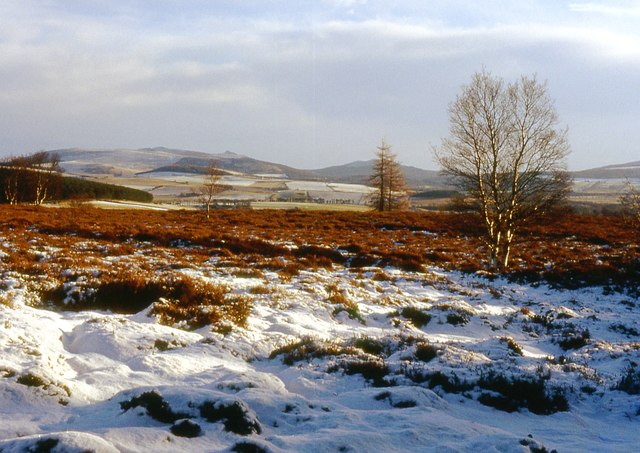
Slaskie Pot is a picturesque freshwater marsh located in Aberdeenshire, Scotland. Covering an area of approximately 15 acres, it is known for its serene beauty and rich biodiversity. The site is nestled amidst rolling hills and lush greenery, making it a popular destination for nature enthusiasts and birdwatchers.

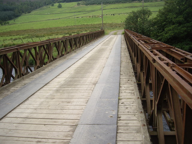
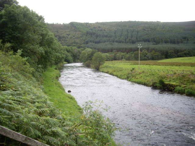
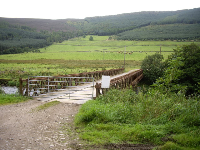
The main feature of Slaskie Pot is its expansive lake, which spans across the majority of the marsh. The lake is fed by several small streams that flow down from the surrounding hills, ensuring a constant supply of fresh water. With its crystal-clear waters and calm surface, the lake provides a tranquil setting for various recreational activities such as fishing and boating.

The marsh surrounding the lake is home to a diverse range of plant and animal species. The area boasts a variety of aquatic plants, including reeds and water lilies, which provide essential habitat and food sources for numerous bird species. Birdwatchers can often spot common species such as ducks, swans, and herons, as well as more elusive birds like kingfishers and marsh harriers.

Slaskie Pot is also a haven for wildlife enthusiasts, as it attracts a wide array of creatures. Otters, water voles, and frogs are frequently spotted in and around the lake, while the surrounding meadows and woodlands are inhabited by rabbits, foxes, and various small mammals.

Overall, Slaskie Pot in Aberdeenshire offers a tranquil and biodiverse environment, making it an ideal destination for those seeking to immerse themselves in the beauty of nature.

If you have any feedback on the listing, please let us know in the comments section below.
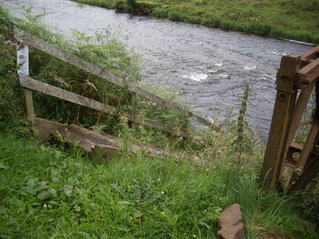
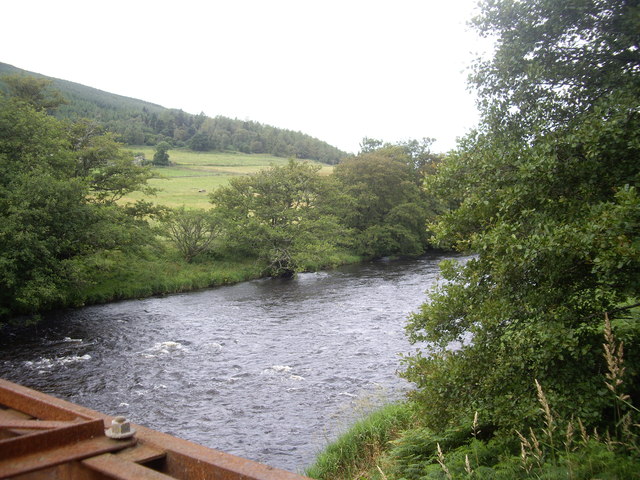
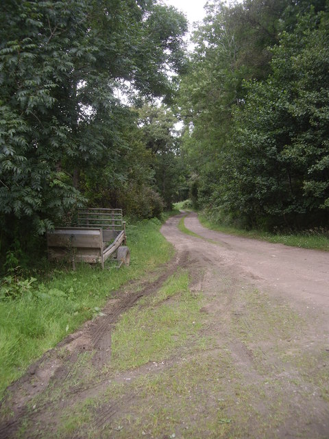
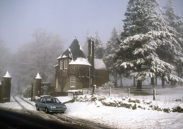
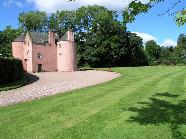
Slaskie Pot Images

Images are sourced within 2km of 57.241526/-2.7883881 or Grid Reference NJ5217. Thanks to Geograph Open Source API. All images are credited.

Estate and farm road approaching group of birch trees The road is on the south side of Lord Arthur's Hill and north of the valley of the River Don. The hills seen dimly in the distance are on the south side of the Don valley.
Estate and farm road approaching group of birch trees
The road is on the south side of Lord Arthur's Hill and north of the valley of the River Don. The hills seen dimly in the distance are on the south side of the Don valley.
Access road for Littlewood Park Littlewood Park is a large house <a title="https://www.geograph.org.uk/photo/649151" href="https://www.geograph.org.uk/photo/649151">Link</a> in a minor valley feeding into the River Don. It's approached from the A944 by the long drive seen here; the house is behind the camera, by some way!
Access road for Littlewood Park
Littlewood Park is a large house Link in a minor valley feeding into the River Don. It's approached from the A944 by the long drive seen here; the house is behind the camera, by some way!
Ruined building in field south of Bithnie On the lower eastern slopes of Coiliochbhar Hill, below the forestry there, is this ruin, one of at least two; no name can be found on OS maps.
Ruined building in field south of Bithnie
On the lower eastern slopes of Coiliochbhar Hill, below the forestry there, is this ruin, one of at least two; no name can be found on OS maps.
Forest edge on east side of Coiliochbhar Hill Plantation trees are to the left of the fence, those to the right are presumably regenerating naturally. The valley of the River Don lies below.
Forest edge on east side of Coiliochbhar Hill
Plantation trees are to the left of the fence, those to the right are presumably regenerating naturally. The valley of the River Don lies below.
Track from Bithnie Bridge to A97
Bithnie Bridge Over the River Don near Littlewood Park.
Bithnie Bridge
Over the River Don near Littlewood Park.
Downstream River Don From Bithnie Bridge.
Downstream River Don
From Bithnie Bridge.
Gated-track to Bithnie farm Crossing the Don, via a bridge with a lockable gate.
Gated-track to Bithnie farm
Crossing the Don, via a bridge with a lockable gate.
Fishermen's steps to the River Don On the downstream side of Bithnie Bridge.
Fishermen's steps to the River Don
On the downstream side of Bithnie Bridge.
Upstream River Don From Bithnie Bridge.
Upstream River Don
From Bithnie Bridge.
A farm trailer Parked by Bithnie Bridge.
A farm trailer
Parked by Bithnie Bridge.
River Don at Kirkton of Forbes
River Don at Slaskie Pot The Don here winds through pastoral valley bottom and forested hillsides
River Don at Slaskie Pot
The Don here winds through pastoral valley bottom and forested hillsides
A bend in the River Don Several pairs of Sedge Warblers are selecting their territories this month
A bend in the River Don
Several pairs of Sedge Warblers are selecting their territories this month
Quiet morning on the River Don
Farmland at Balfour in the Howe of Alford
Strathlunach Wood Only scattered trees remain on the hilltop. Looking to Bennachie and Millstone Hill.
Strathlunach Wood
Only scattered trees remain on the hilltop. Looking to Bennachie and Millstone Hill.
East Gate Lodge, Littlewood Park
Show me another place!

Slaskie Pot is located at Grid Ref: NJ5217 (Lat: 57.241526, Lng: -2.7883881)

Unitary Authority: Aberdeenshire

Police Authority: North East

What 3 Words

///purely.corporate.steepest. Near Alford, Aberdeenshire

Nearby Locations

Slaskie Pot Balfour Wood

Related Wikis

Marr

Marr (Scottish Gaelic: Màrr) is one of six committee areas in Aberdeenshire, Scotland. It has a population of 34,038 (2001 Census). Someone from Marr...

Asloun Castle

Asloun Castle is a castle, formerly Z-plan, dating from the 16th century, 2 miles (3.2 km) south-west of Alford, in Aberdeenshire, Scotland, of which only...

Brux Castle

Brux Castle was a castle of the Forbeses, about 1.5 miles (2.4 km) east of Kildrummy, Aberdeenshire, Scotland, south of the river Don. The castle was...

Bridge of Alford

Bridge of Alford is a village in Aberdeenshire, Scotland.Bridge of Alford is situated near Alford beside the bridge over the River Don. It is on the road...

Terpersie Castle

Terpersie Castle (originally built as Dalpersie House) is a 16th-century tower house in Tullynessle, Aberdeenshire, Scotland, located 5 kilometres (3...

Battle of Alford

The Battle of Alford was an engagement of the Scottish Civil War. It took place near the village of Alford, Aberdeenshire, on 2 July 1645. During the battle...

Forbes, Aberdeenshire

Forbes is a hamlet by Tullynessle in Aberdeenshire, Scotland. It is connected to Tullynessle 1 3/4 miles from Alford. == See also == Clan Forbes ��2�...

Tullynessle

Tullynessle is a hamlet in Aberdeenshire, Scotland, three miles NNW of Alford.The settlement contains the Category A listed Terpersie Castle, a privately...

Nearby Amenities

Located within 500m of 57.241526,-2.7883881
Material: wood
Power: pole
Lat/Long: 57.244603/-2.7827751
Material: wood
Power: pole
Lat/Long: 57.2444836/-2.7846091
Material: wood
Power: pole
Lat/Long: 57.2442475/-2.7858394
Material: wood
Power: pole
Lat/Long: 57.243995/-2.7872193
Material: wood
Power: pole
Lat/Long: 57.2436946/-2.7887961
Power: pole
Lat/Long: 57.2433809/-2.7904594
Material: wood
Power: pole
Lat/Long: 57.2431848/-2.7914559
Material: wood
Power: pole
Lat/Long: 57.2426495/-2.7917676
Material: wood
Power: pole
Lat/Long: 57.2426515/-2.7933693
Material: wood
Power: pole
Lat/Long: 57.2426515/-2.7948188
Power: pole
Lat/Long: 57.2450381/-2.7851723
Power: pole
Lat/Long: 57.2455555/-2.7857252
The data included in this document is from www.openstreetmap.org. The data is made available under ODbL.

Have you been to Slaskie Pot?

Leave your review of Slaskie Pot below (or comments, questions and feedback).