Sundorne Pool

Lake, Pool, Pond, Freshwater Marsh in Shropshire

England

Sundorne Pool

Old Village Pump Found opposite the Holy Trinity Church in Uffington
Old Village Pump Credit: Rick Crowley

The requested URL returned error: 429 Too Many Requests

If you have any feedback on the listing, please let us know in the comments section below.

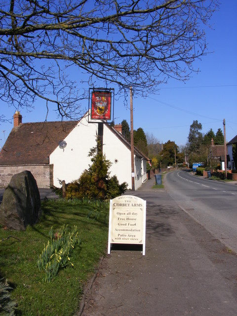
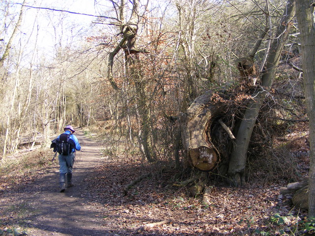
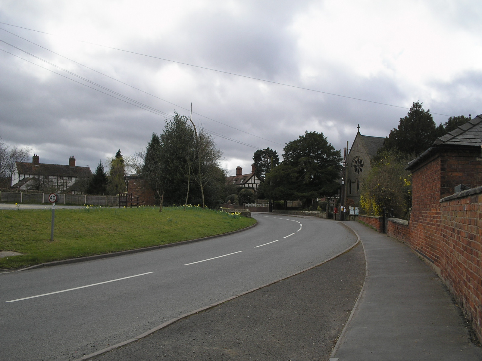
Sundorne Pool Images

Images are sourced within 2km of 52.727603/-2.704689 or Grid Reference SJ5214. Thanks to Geograph Open Source API. All images are credited.

Old Village Pump Found opposite the Holy Trinity Church in Uffington
Old Village Pump
Found opposite the Holy Trinity Church in Uffington
The Corbet Arms The Pub in Church Road Uffington.
The Corbet Arms
The Pub in Church Road Uffington.
Corbet Arms View The view from outside the Pub in Church Road Uffington.
Corbet Arms View
The view from outside the Pub in Church Road Uffington.
Canal Bridge View The view of the path to the disused Shrewsbury canal bridge near Uffington Village.
Canal Bridge View
The view of the path to the disused Shrewsbury canal bridge near Uffington Village.
Canal View South The view of the disused Shrewsbury canal bridge near Uffington Village.
Canal View South
The view of the disused Shrewsbury canal bridge near Uffington Village.
Canal View North The view from the bridge of the disused Shrewsbury canal near Uffington Village.
Canal View North
The view from the bridge of the disused Shrewsbury canal near Uffington Village.
Woodland Path The view of the path by the Shrewsbury canal near Uffington Village.
Woodland Path
The view of the path by the Shrewsbury canal near Uffington Village.
Way Marker The view of the Shropshire Way on the side of Haughmond Hill, near Uffington Village.
Way Marker
The view of the Shropshire Way on the side of Haughmond Hill, near Uffington Village.
The Hollies Way The view of the Shropshire Way as it passes through The Hollies Wood on the side of Haughmond Hill, near Uffington Village.
The Hollies Way
The view of the Shropshire Way as it passes through The Hollies Wood on the side of Haughmond Hill, near Uffington Village.
The Shropshire Way The view of the Way on the side of Haughmond Hill, near Uffington Village.
The Shropshire Way
The view of the Way on the side of Haughmond Hill, near Uffington Village.
Shropshire Way View The view of the Shropshire Way on the side of Haughmond Hill, near Uffington Village.
Shropshire Way View
The view of the Shropshire Way on the side of Haughmond Hill, near Uffington Village.
Uphill on the Shropshire Way The view of the Shropshire Way on the side of Haughmond Hill, near Uffington Village.
Uphill on the Shropshire Way
The view of the Shropshire Way on the side of Haughmond Hill, near Uffington Village.
The Hollies The gate to the Shropshire Way on the side of Haughmond Hill, near Uffington Village.
The Hollies
The gate to the Shropshire Way on the side of Haughmond Hill, near Uffington Village.
Abbey Wood The view from the Shropshire Way of the wood on the side of Haughmond Hill, near Uffington Village.
Abbey Wood
The view from the Shropshire Way of the wood on the side of Haughmond Hill, near Uffington Village.
B 5062 View The view from the Shropshire Way on the side of Haughmond Hill, near the entrance to Haughmond Abbey.
B 5062 View
The view from the Shropshire Way on the side of Haughmond Hill, near the entrance to Haughmond Abbey.
Abbey View The view from the Shropshire Way on the side of Haughmond Hill, of Haughmond Abbey ruins.
Abbey View
The view from the Shropshire Way on the side of Haughmond Hill, of Haughmond Abbey ruins.
Abbey Approach The view from the Shropshire Way of the entrance to Haughmond Abbey.
Abbey Approach
The view from the Shropshire Way of the entrance to Haughmond Abbey.
Hillside Farm The view from the Shropshire Way alongside Haughmond Abbey ruins.
Hillside Farm
The view from the Shropshire Way alongside Haughmond Abbey ruins.
Show me another place!

Sundorne Pool is located at Grid Ref: SJ5214 (Lat: 52.727603, Lng: -2.704689)

Unitary Authority: Shropshire

Police Authority: West Mercia

What 3 Words

///dive.seat.prop. Near Shrewsbury, Shropshire

Nearby Locations

Sundorne Pool

Related Wikis

Haughmond F.C.

Haughmond Football Club ( HOR-mənd) is a football club based in Shrewsbury, Shropshire, England. They are currently members of the Shropshire County League...

Uffington, Shropshire

Uffington () is a village and civil parish in the English county of Shropshire. The population of the civil parish at the 2011 census was 234. It lies...

Sundorne

Sundorne is a suburb of the town of Shrewsbury, county town of Shropshire. It is located 2 km north of the town centre. The B5062 road begins at Heathgates...

Shrewsbury Academy

Shrewsbury Academy is an 11-16 mixed secondary school with academy status in Shrewsbury, Shropshire, England. It was established in September 2016 following...

Nearby Amenities

Located within 500m of 52.727603,-2.704689
Pimley Manor
Access: private
Building: house
Lat/Long: 52.724646/-2.709441
Barrier: stile
Lat/Long: 52.7277493/-2.6975164
Barrier: stile
Lat/Long: 52.7276016/-2.6975134
Barrier: stile
Lat/Long: 52.7298976/-2.6989829
Power: tower
Lat/Long: 52.729499/-2.702594
Power: tower
Lat/Long: 52.7264962/-2.6997831
Pimley
Place: hamlet
Lat/Long: 52.7250308/-2.7106281
Bus Stop
Uffington Turn
Bus: yes
Public Transport: platform
Lat/Long: 52.7266669/-2.7042775
Crossing
Crossing: unmarked
Crossing Island: no
Crossing Markings: no
Tactile Paving: no
Lat/Long: 52.7284499/-2.7087228
Crossing
Crossing: unmarked
Crossing Island: no
Crossing Markings: no
Tactile Paving: yes
Lat/Long: 52.7288007/-2.7110993
Crossing
Crossing: unmarked
Crossing Island: yes
Crossing Markings: no
Tactile Paving: yes
Lat/Long: 52.7285092/-2.7113414
Generator Method: photovoltaic
Generator Output Electricity: yes
Generator Source: solar
Generator Type: solar_photovoltaic_panel
Location: roof
Power: generator
Lat/Long: 52.7301459/-2.7105841
Generator Method: photovoltaic
Generator Output Electricity: yes
Generator Source: solar
Generator Type: solar_photovoltaic_panel
Location: roof
Power: generator
Lat/Long: 52.7286499/-2.7104473
Give Way
Direction: forward
Lat/Long: 52.726591/-2.7043627
Access: no
Barrier: stile
Foot: designated
Material: wood
Lat/Long: 52.7257841/-2.7073264
Access: no
Barrier: stile
Foot: designated
Material: wood
Note: Overgrown and in need of repair, easier to hop over the gate
Stile: stepover
Lat/Long: 52.7268066/-2.7050458
Give Way
Direction: backward
Lat/Long: 52.7298732/-2.7108883
Give Way
Direction: backward
Lat/Long: 52.7296637/-2.7108978
Power: pole
Lat/Long: 52.7254817/-2.6991695
Power: pole
Lat/Long: 52.7261226/-2.699757
Power: pole
Lat/Long: 52.7267913/-2.7003799
Power: pole
Lat/Long: 52.7277965/-2.7013638
Power: pole
Lat/Long: 52.7285639/-2.7020929
Power: pole
Lat/Long: 52.7295176/-2.7029104
Power: pole
Lat/Long: 52.7302185/-2.7045314
Power: pole
Lat/Long: 52.7309579/-2.7051012
Power: pole
Lat/Long: 52.7314101/-2.7054551
Crossing
Crossing: unmarked
Crossing Island: no
Crossing Markings: no
Tactile Paving: no
Lat/Long: 52.7284406/-2.7088222
The data included in this document is from www.openstreetmap.org. The data is made available under ODbL.

Have you been to Sundorne Pool?

Leave your review of Sundorne Pool below (or comments, questions and feedback).