Abermo
Settlement in Merionethshire
Wales
Abermo
Abermo is a small village located in the historic county of Merionethshire in Wales, United Kingdom. Situated in the southern part of the county, it lies near the banks of the River Dyfi and is nestled amidst the picturesque scenery of the Welsh countryside.
The village is known for its tranquil atmosphere and natural beauty, making it a popular destination for nature lovers and outdoor enthusiasts. The surrounding area offers a variety of walking and hiking trails, allowing visitors to explore the breathtaking landscapes, including rolling hills, lush forests, and meandering rivers.
Abermo is home to a close-knit community, with a population of approximately 300 residents. The village boasts a few amenities, including a local pub, a small convenience store, and a primary school, catering to the needs of its inhabitants.
Historically, Abermo has a rich heritage, dating back to medieval times. The village features several well-preserved historic buildings, such as the St. Mary's Church, a Grade II listed structure that dates back to the 14th century. The church is renowned for its stunning architecture and attracts visitors interested in exploring the village's past.
Overall, Abermo offers a peaceful and idyllic retreat from the bustling cities, allowing visitors to immerse themselves in the natural beauty of the Welsh countryside while experiencing the warmth and charm of a close-knit rural community.
If you have any feedback on the listing, please let us know in the comments section below.
Abermo Images
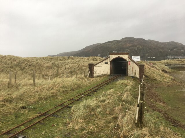
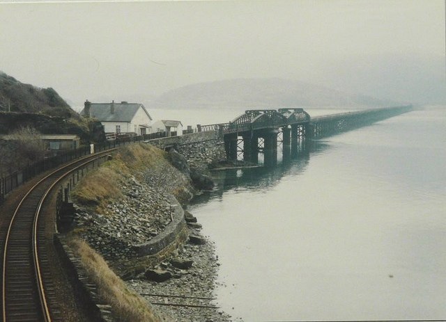
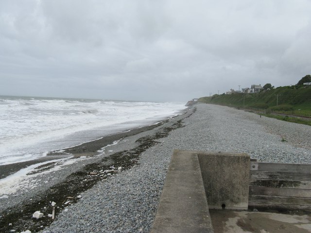
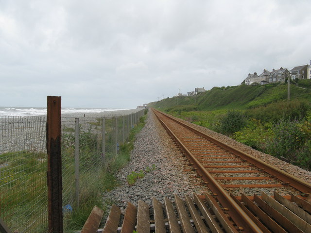
Images are sourced within 2km of 52.722018/-4.055956 or Grid Reference SH6115. Thanks to Geograph Open Source API. All images are credited.


Abermo is located at Grid Ref: SH6115 (Lat: 52.722018, Lng: -4.055956)
Unitary Authority: Gwynedd
Police Authority: North Wales
Also known as: Barmouth, Abermaw
What 3 Words
///notifying.candle.issued. Near Barmouth, Gwynedd
Nearby Locations
Related Wikis

Barmouth
Barmouth (Welsh: Abermaw (formal); Y Bermo (colloquial)) is a seaside town and community in the county of Gwynedd, north-west Wales; it lies on the estuary...

Barmouth Lifeboat Station
Barmouth Lifeboat Station, based in Barmouth, Gwynedd, Wales, was established in the 1820s and the first lifeboat station was constructed in 1828 at a...

Barmouth railway station
Barmouth railway station serves the seaside town of Barmouth in Gwynedd, Wales. The station is on the Cambrian Coast Railway with passenger services to...
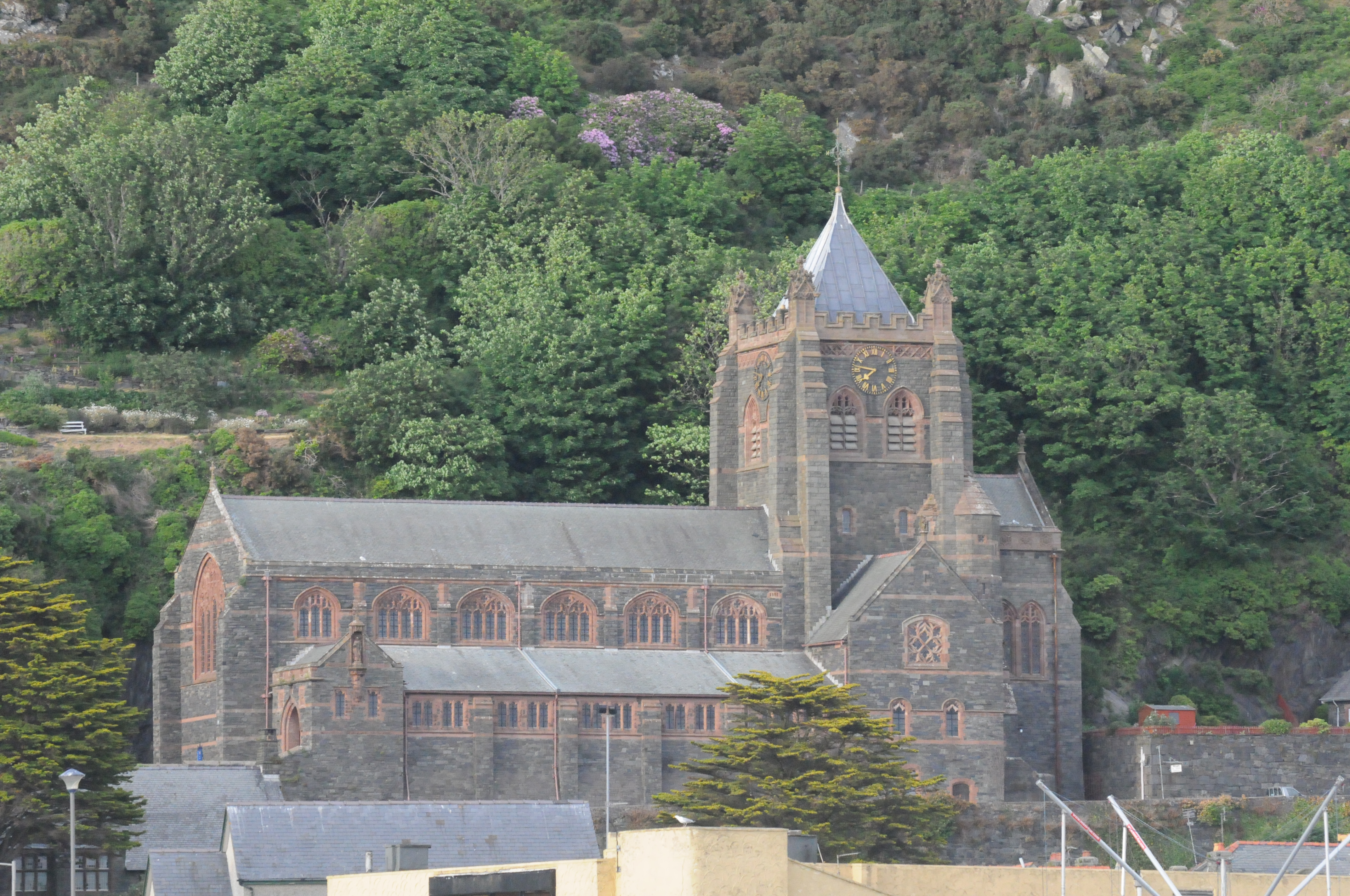
St John's Church, Barmouth
St John's Church, Barmouth, Gwynedd, Wales was built between 1889 and 1895 and designed by the Chester architects Douglas and Fordham. The foundation stone...
St David's Church, Barmouth
St David's Church is a Church in Wales church by the harbour of Barmouth, Gwynedd, west Wales. It is part of the Bro Ardudwy Ministry Area. == History... ==

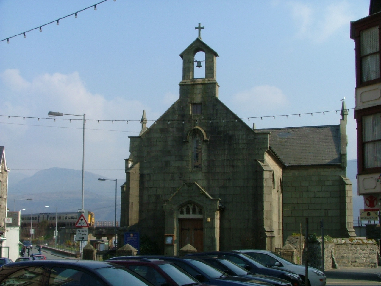
St Tudwal's Church, Barmouth
St Tudwal's Church is a Roman Catholic parish church in Barmouth, Gwynedd. It is situated on the King Edward Road leading from Barmouth to Llanaber. It...

Plas Mynach
Plas Mynach is a large country house in Barmouth, Gwynedd, Wales. It is designated by Cadw as a Grade II* listed building, and stands in a prominent position...

Fairbourne Spit
Fairbourne Spit (also known as Penrhyn Point) is a long spit of sand and shingle at the mouth of the River Mawddach where it reaches Cardigan Bay, on the...
Nearby Amenities
Located within 500m of 52.722018,-4.055956Have you been to Abermo?
Leave your review of Abermo below (or comments, questions and feedback).