Blackmoss Pool
Lake, Pool, Pond, Freshwater Marsh in Cumberland Carlisle
England
Blackmoss Pool
Blackmoss Pool is a picturesque freshwater marsh located in Cumberland, a town in the northwestern region of England. Stretching over an area of approximately 10 acres, it is often referred to as a lake, pool, pond, or marsh due to its diverse characteristics. With its tranquil waters and lush surroundings, Blackmoss Pool offers a serene escape for nature enthusiasts and visitors alike.
The pool is nestled within a larger nature reserve, which boasts a rich biodiversity and serves as a haven for various species of flora and fauna. The surrounding vegetation includes reeds, sedges, and water lilies, which provide a vibrant and colorful backdrop. This diverse habitat supports a range of bird species, including waterfowl such as ducks, geese, and swans, making it an ideal spot for birdwatching.
Blackmoss Pool provides a suitable environment for a variety of aquatic life forms, including fish, amphibians, and invertebrates. The crystal-clear waters allow for excellent visibility, making it an attractive spot for diving and snorkeling enthusiasts. The pool also serves as a recreational area for activities such as boating and fishing, with anglers often trying their luck at catching perch, pike, and roach.
The pool is easily accessible, with designated footpaths and nature trails that wind through the surrounding countryside. These paths offer visitors the opportunity to explore the diverse ecosystem while enjoying the picturesque scenery. Additionally, there are picnic areas and benches dotted around the pool, providing a perfect spot for relaxation and taking in the natural beauty.
Blackmoss Pool is not only a haven for wildlife but also a cherished recreational spot, offering a blend of natural beauty, tranquility, and outdoor activities for all to enjoy.
If you have any feedback on the listing, please let us know in the comments section below.
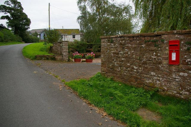
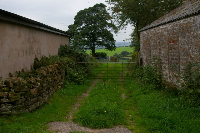
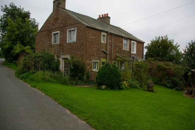
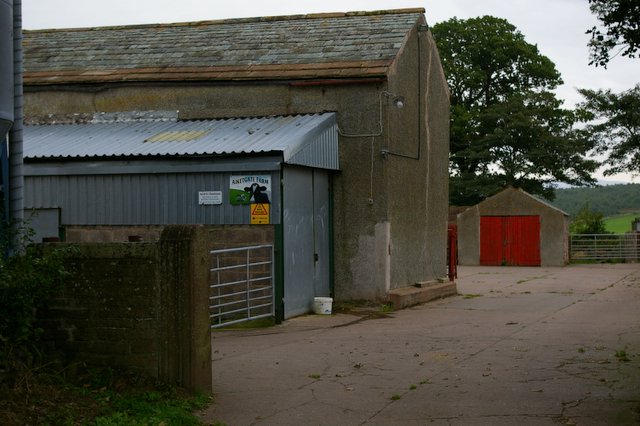
Blackmoss Pool Images
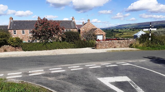
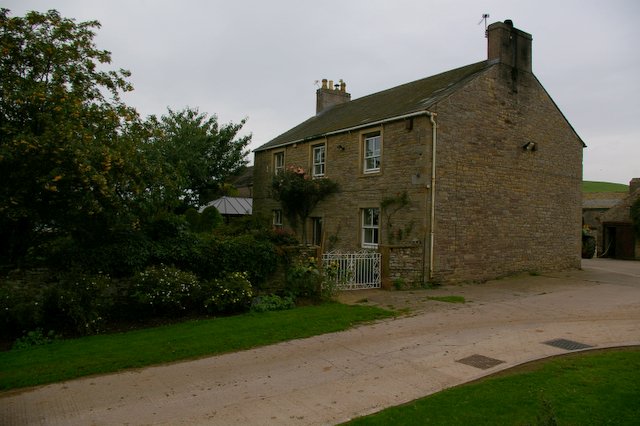
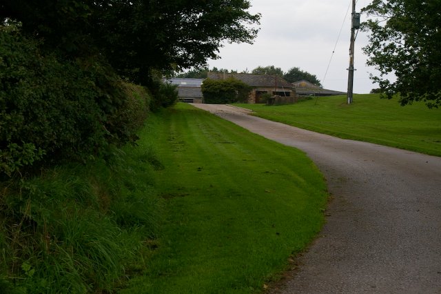
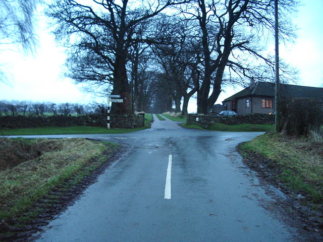
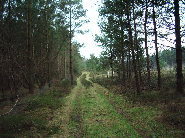
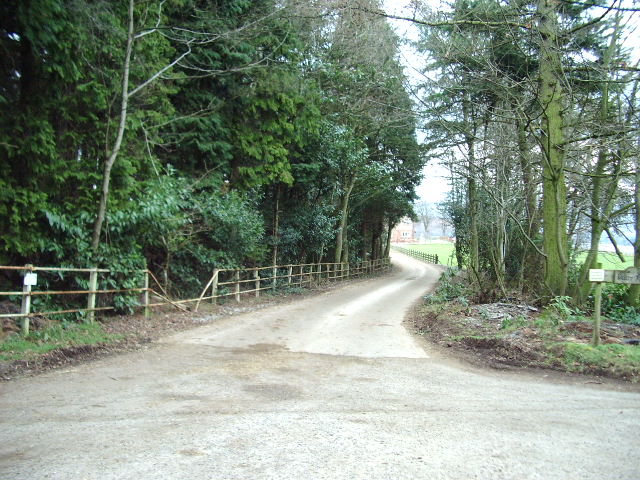
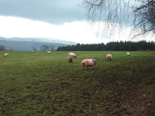
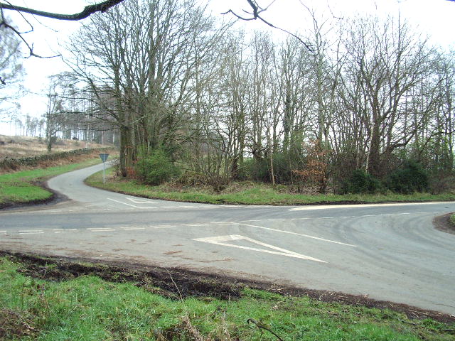
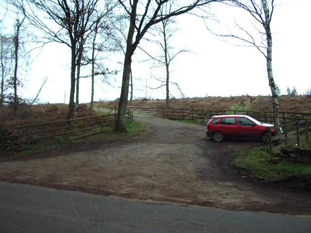
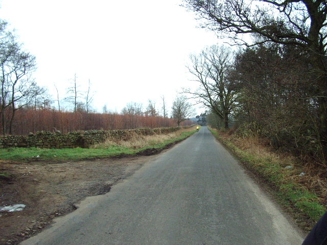
Images are sourced within 2km of 54.822107/-2.8027086 or Grid Reference NY4847. Thanks to Geograph Open Source API. All images are credited.
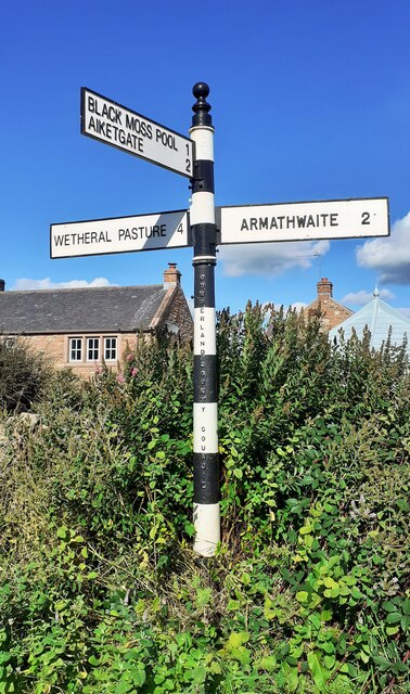


Blackmoss Pool is located at Grid Ref: NY4847 (Lat: 54.822107, Lng: -2.8027086)
Administrative County: Cumbria
District: Carlisle
Police Authority: Cumbria
What 3 Words
///elevate.lifeboats.light. Near Wetheral, Cumbria
Nearby Locations
Related Wikis

Aiketgate
Aiketgate is a small village in the English county of Cumbria. It is within the civil parish of Hesket. Development of wind turbines in the Eden Valley...
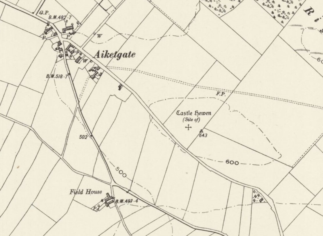
Castle Hewen
Castle Hewen (also recorded as Castlewen; Castle Luen; Castellewyn; Castellewyne; Castlehewings; Castle-Ewaine and Castle Lewen) was a Romano-British castle...

Armathwaite railway station
Armathwaite is a railway station on the Settle and Carlisle Line, which runs between Carlisle and Leeds via Settle. The station, situated 9 miles 75 chains...

Low Hesket
Low Hesket is a village in the English county of Cumbria. Low Hesket is on the A6 road 8+1⁄2 miles (13.7 km) south of Carlisle. This is a former Roman...
Nearby Amenities
Located within 500m of 54.822107,-2.8027086Have you been to Blackmoss Pool?
Leave your review of Blackmoss Pool below (or comments, questions and feedback).