Black Moss
Downs, Moorland in Cumberland Carlisle
England
Black Moss

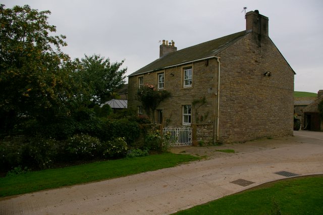
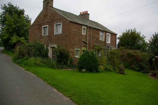
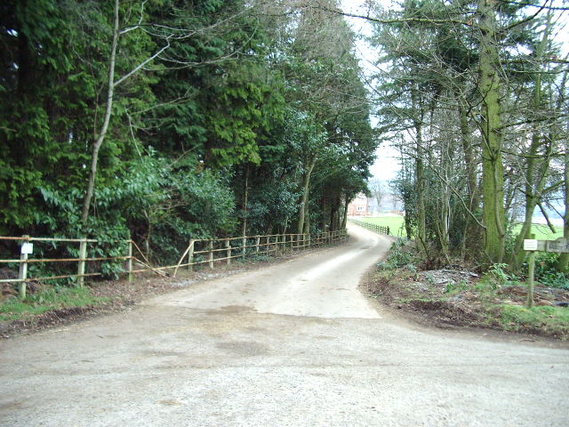
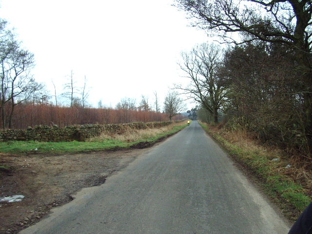
Black Moss, Cumberland (Downs, Moorland) is a natural area located in the county of Cumberland, England. Situated in the northern part of the county, it is known for its stunning landscapes and unique biodiversity. The area primarily consists of downs and moorland, offering a diverse range of habitats for various plant and animal species.
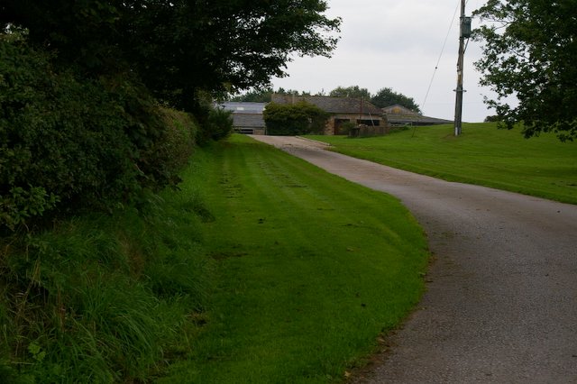
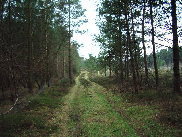
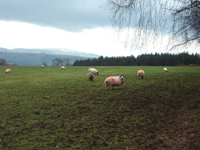
The downs in Black Moss feature rolling hills covered in lush grasses and scattered shrubs, creating a picturesque panorama. These grassy slopes provide excellent grazing opportunities for livestock, making the area important for local agriculture. The moorland section of Black Moss is characterized by wide expanses of open land, covered in heather and other low-lying vegetation. This habitat is home to a variety of bird species, including red grouse and curlews.
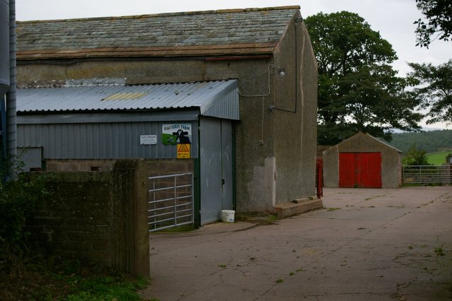
The area is also known for its rich history and cultural significance. Remnants of ancient settlements and archaeological sites can be found scattered throughout Black Moss, providing valuable insights into past human activity in the region. The combination of natural beauty and historical importance makes Black Moss a popular destination for nature enthusiasts, hikers, and history buffs alike.
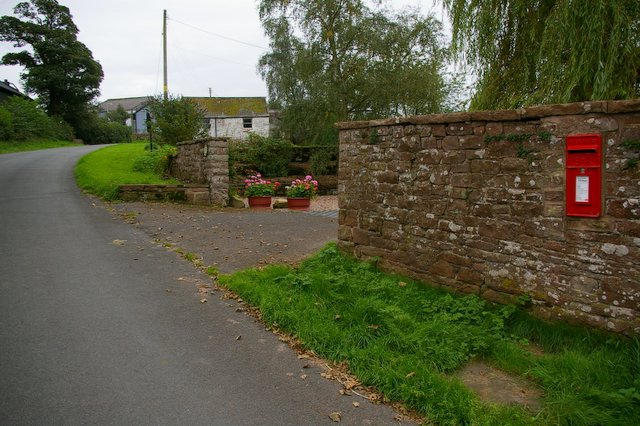
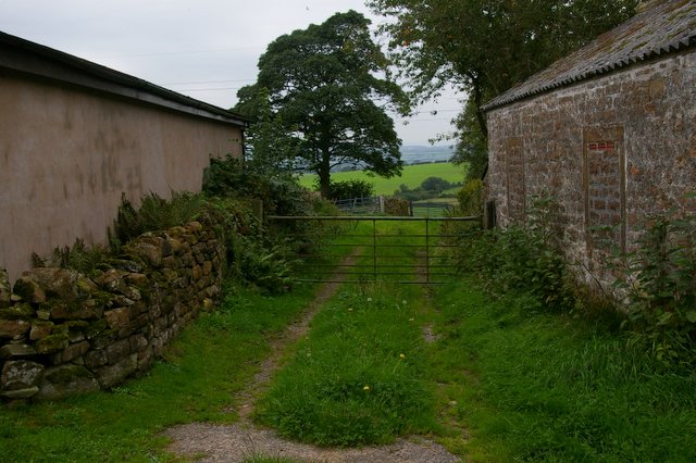
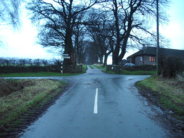
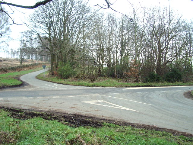
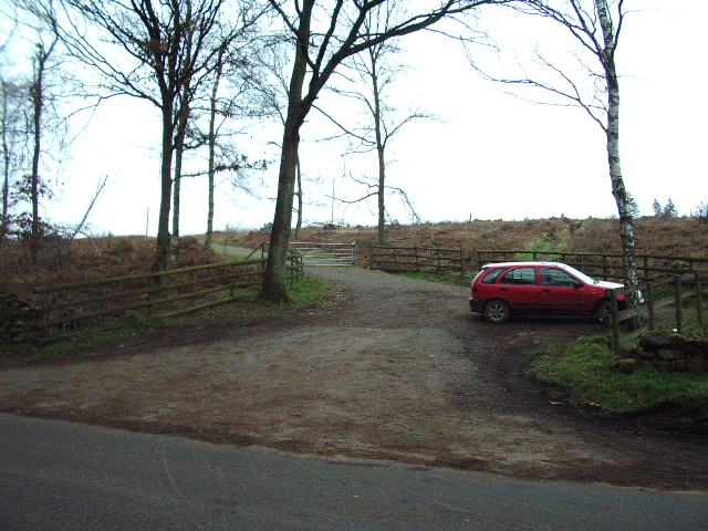
In terms of accessibility, Black Moss is easily reached by road, with several routes leading to the area. There are also designated walking paths and trails that allow visitors to explore the downs and moorland safely. Additionally, the surrounding countryside offers ample opportunities for outdoor activities such as camping, horse riding, and wildlife spotting.
Overall, Black Moss, Cumberland (Downs, Moorland) is a captivating natural area that showcases the beauty of England's countryside while also providing a glimpse into its fascinating past.
If you have any feedback on the listing, please let us know in the comments section below.
Black Moss Images
Images are sourced within 2km of 54.823298/-2.8073238 or Grid Reference NY4847. Thanks to Geograph Open Source API. All images are credited.


Black Moss is located at Grid Ref: NY4847 (Lat: 54.823298, Lng: -2.8073238)
Administrative County: Cumbria
District: Carlisle
Police Authority: Cumbria
What 3 Words
///armrests.much.vows. Near Wetheral, Cumbria
Nearby Locations
Related Wikis

Aiketgate
Aiketgate is a small village in the English county of Cumbria. It is within the civil parish of Hesket. Development of wind turbines in the Eden Valley...
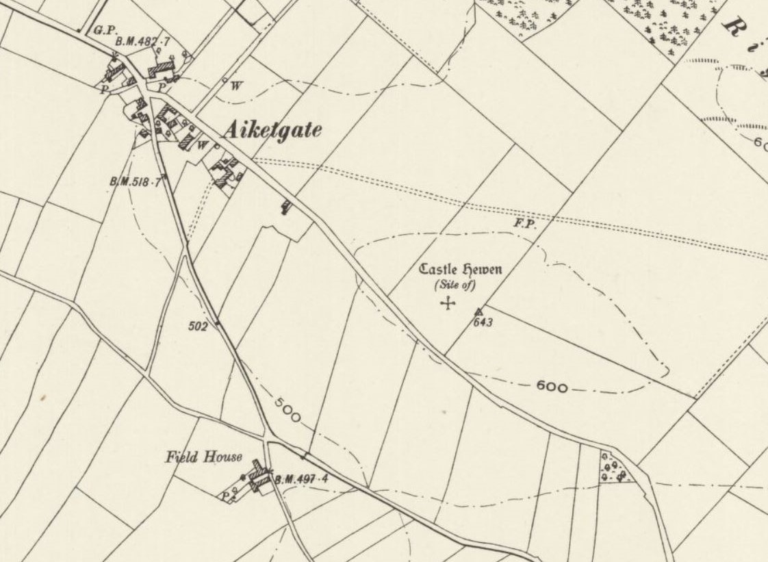
Castle Hewen
Castle Hewen (also recorded as Castlewen; Castle Luen; Castellewyn; Castellewyne; Castlehewings; Castle-Ewaine and Castle Lewen) was a Romano-British castle...

Low Hesket
Low Hesket is a village in the English county of Cumbria. Low Hesket is on the A6 road 8+1⁄2 miles (13.7 km) south of Carlisle. This is a former Roman...
Cotehill
Cotehill is a village in Cumbria, England. In 1870-72 the township/chapelry had a population of 333. == See also == Cotehill railway station Listed buildings...
Have you been to Black Moss?
Leave your review of Black Moss below (or comments, questions and feedback).