Abspit Pond

Lake, Pool, Pond, Freshwater Marsh in Somerset

England

Abspit Pond

Goblin Combe Pleasant walks, a few climbable rock outcrops and a lot of trees
Goblin Combe Credit: Doug Lee

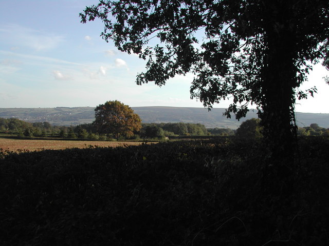
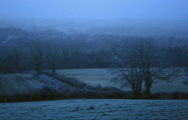
Abspit Pond is a freshwater marsh located in Somerset, England. It is situated near the village of Abspit, which is known for its picturesque landscapes and natural beauty. The pond covers an area of approximately 5 acres and is surrounded by lush vegetation and diverse wildlife.

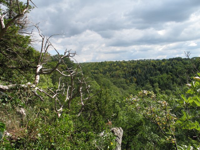
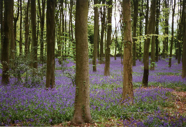
As a freshwater marsh, Abspit Pond is characterized by its shallow waters and abundant plant life. The pond is primarily fed by rainfall and runoff from surrounding areas, resulting in a constant flow of fresh water. This creates an ideal habitat for a variety of aquatic plants, including water lilies, reeds, and cattails.

The pond is also home to a wide range of animal species. Birds such as mallards, herons, and swans can often be seen gliding gracefully across the water, while frogs and toads can be heard croaking from the reeds. Fish, including roach and perch, thrive in the nutrient-rich waters of Abspit Pond, attracting anglers from the local area.

Abspit Pond is a popular destination for nature enthusiasts and birdwatchers, who come to enjoy its tranquil atmosphere and observe the diverse wildlife. The surrounding area offers several walking trails, providing visitors with an opportunity to explore the marsh and its surroundings.

Overall, Abspit Pond in Somerset is a beautiful and serene freshwater marsh, teeming with life and offering a peaceful retreat for both wildlife and visitors alike.

If you have any feedback on the listing, please let us know in the comments section below.
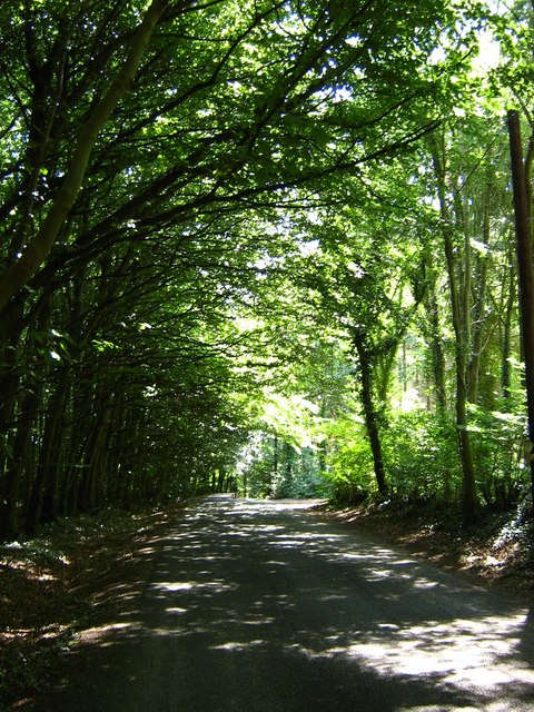
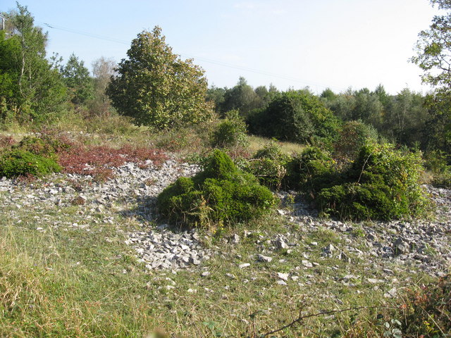
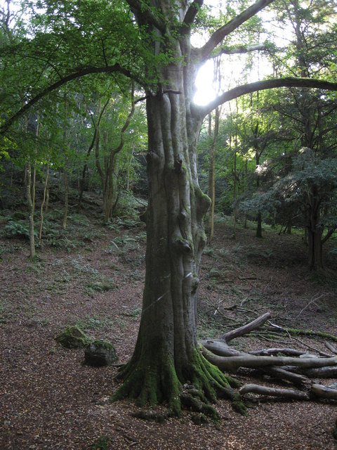
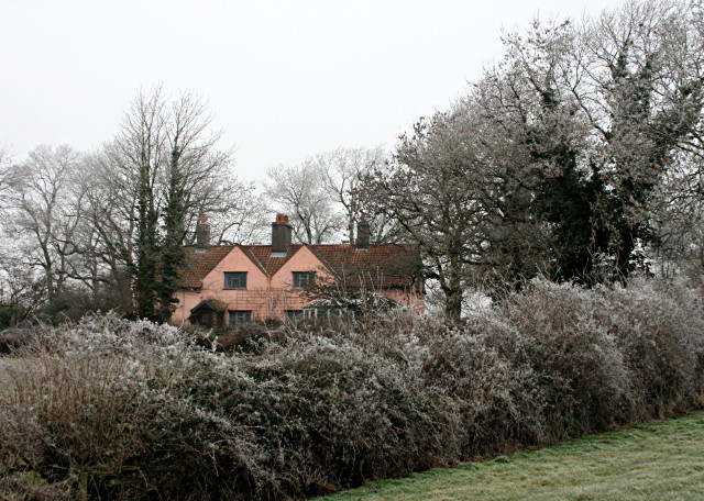
Abspit Pond Images

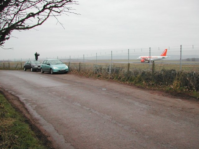
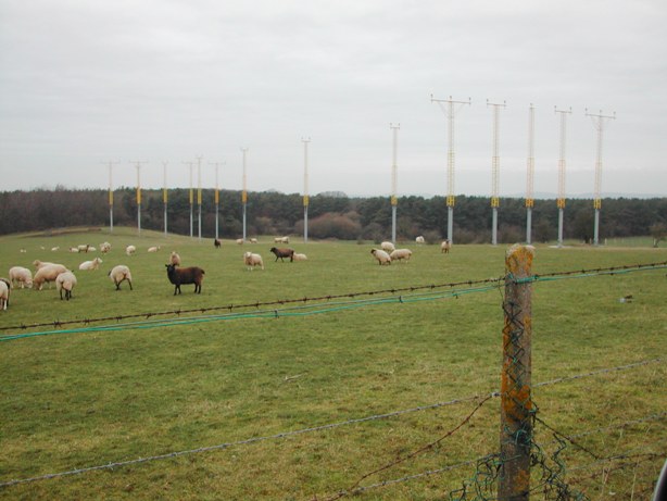
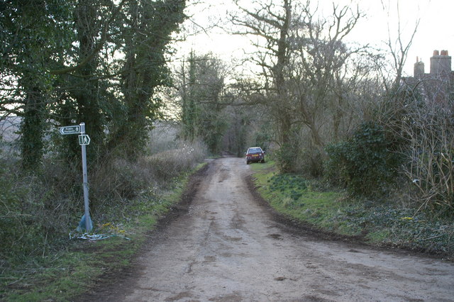
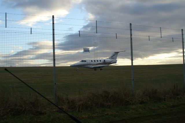
Images are sourced within 2km of 51.382536/-2.7413655 or Grid Reference ST4865. Thanks to Geograph Open Source API. All images are credited.

Goblin Combe Pleasant walks, a few climbable rock outcrops and a lot of trees
Goblin Combe
Pleasant walks, a few climbable rock outcrops and a lot of trees
Cleeve: bluebell wood By the road linking Cleeve and Wrington
Cleeve: bluebell wood
By the road linking Cleeve and Wrington
Here be caches This marks the start of a beautiful 5 Km downhill walk/mountain bike ride through Goblin Commbe to Cleeve, though you'll need to arrange a pickup if you don't want to walk all the way back uphill! It  is also the general area where the 'Bristol Airport Travel Bug Hotel' cache lies - see this link for more information and to fnd out about geocaching and travel bugs <span class="nowrap"><a title="http://www.geocaching.com/seek/cache_details.aspx?guid=06de6d1b-6cc1-402f-bc48-da7cd7a7fe36" rel="nofollow ugc noopener" href="http://www.geocaching.com/seek/cache_details.aspx?guid=06de6d1b-6cc1-402f-bc48-da7cd7a7fe36">Link</a><img style="margin-left:2px;" alt="External link" title="External link - shift click to open in new window" src="https://s1.geograph.org.uk/img/external.png" width="10" height="10"/></span> .
Here be caches
This marks the start of a beautiful 5 Km downhill walk/mountain bike ride through Goblin Commbe to Cleeve, though you'll need to arrange a pickup if you don't want to walk all the way back uphill! It is also the general area where the 'Bristol Airport Travel Bug Hotel' cache lies - see this link for more information and to fnd out about geocaching and travel bugs LinkExternal link .
Spotters' Heaven Landing Easyjet flight reaches the end of runway 27. This location provides excellent views of Bristol International Airport <span class="nowrap"><a title="http://www.bristolairport.co.uk/" rel="nofollow ugc noopener" href="http://www.bristolairport.co.uk/">Link</a><img style="margin-left:2px;" alt="External link" title="External link - shift click to open in new window" src="https://s1.geograph.org.uk/img/external.png" width="10" height="10"/></span> and is nearly always populated by plane spotters.
Spotters' Heaven
Landing Easyjet flight reaches the end of runway 27. This location provides excellent views of Bristol International Airport LinkExternal link and is nearly always populated by plane spotters.
Landing Lights on Wrington Warren Just off the end of Runway 27/09 at Bristol International Airport <span class="nowrap"><a title="http://www.bristolairport.co.uk/" rel="nofollow ugc noopener" href="http://www.bristolairport.co.uk/">Link</a><img style="margin-left:2px;" alt="External link" title="External link - shift click to open in new window" src="https://s1.geograph.org.uk/img/external.png" width="10" height="10"/></span> with Wrington Warren and woods beyond. These woods make excellent walking country.
Landing Lights on Wrington Warren
Just off the end of Runway 27/09 at Bristol International Airport LinkExternal link with Wrington Warren and woods beyond. These woods make excellent walking country.
Lane on Backwell Hill
Private Jet 390 Beech Premier Jet, just landed at Bristol International Airport taxiing to the terminal. weblink: <span class="nowrap"><a title="http://www.landair.pwp.blueyonder.co.uk/Execjet/hawknew.htm" rel="nofollow ugc noopener" href="http://www.landair.pwp.blueyonder.co.uk/Execjet/hawknew.htm">Link</a><img style="margin-left:2px;" alt="External link" title="External link - shift click to open in new window" src="https://s1.geograph.org.uk/img/external.png" width="10" height="10"/></span>
<span class="nowrap"><a title="http://www.bristolairport.co.uk/" rel="nofollow ugc noopener" href="http://www.bristolairport.co.uk/">Link</a><img style="margin-left:2px;" alt="External link" title="External link - shift click to open in new window" src="https://s1.geograph.org.uk/img/external.png" width="10" height="10"/></span>
Private Jet
390 Beech Premier Jet, just landed at Bristol International Airport taxiing to the terminal. weblink: LinkExternal link LinkExternal link
View SE towards Mendip Photo taken whilst doing the nearby "What's that coming over the hill, is it a monster?" geocache - see <span class="nowrap"><a title="http://www.geocaching.com/seek/cache_details.aspx?guid=3a08970e-8a26-4ce4-8055-105a72468a08" rel="nofollow ugc noopener" href="http://www.geocaching.com/seek/cache_details.aspx?guid=3a08970e-8a26-4ce4-8055-105a72468a08">Link</a><img style="margin-left:2px;" alt="External link" title="External link - shift click to open in new window" src="https://s1.geograph.org.uk/img/external.png" width="10" height="10"/></span>
View SE towards Mendip
Photo taken whilst doing the nearby "What's that coming over the hill, is it a monster?" geocache - see LinkExternal link
Bristol Airport, Lulsgate Bottom, Somerset A flight takes off to the west from runway 27. The airport was developed in the 1950s from a standard design WWII fighter airfield. More on the history of the airport can be read here: <span class="nowrap"><a title="http://www.bristolairport.co.uk/about_us/history.aspx" rel="nofollow ugc noopener" href="http://www.bristolairport.co.uk/about_us/history.aspx">Link</a><img style="margin-left:2px;" alt="External link" title="External link - shift click to open in new window" src="https://s1.geograph.org.uk/img/external.png" width="10" height="10"/></span>
To see what it might have looked like if nothing else had happened at the end of the war please see relevant images in these squares <a href="https://www.geograph.org.uk/gridref/SP2506">SP2506</a>, <a href="https://www.geograph.org.uk/gridref/SP2407">SP2407</a> and <a href="https://www.geograph.org.uk/gridref/SP2406">SP2406</a>
Bristol Airport, Lulsgate Bottom, Somerset
A flight takes off to the west from runway 27. The airport was developed in the 1950s from a standard design WWII fighter airfield. More on the history of the airport can be read here: LinkExternal link To see what it might have looked like if nothing else had happened at the end of the war please see relevant images in these squares SP2506, SP2407 and SP2406
Goblin Combe cliffs Looking towards King's Wood over Goblin Combe.
Goblin Combe cliffs
Looking towards King's Wood over Goblin Combe.
Edge of Wrington Warren A grassy footpath through the woods near Bristol Airport.
Edge of Wrington Warren
A grassy footpath through the woods near Bristol Airport.
Footpath across a meadow
Shaded road at Wrington Hill
Goblin Combe An SSSI of upland limestone with rare plants and dwarf yew. Excellent views to the S and W.
Goblin Combe
An SSSI of upland limestone with rare plants and dwarf yew. Excellent views to the S and W.
Cleeve woods An ancient beech tree beside the path in Cleeve woods to Goblin Combe.
Cleeve woods
An ancient beech tree beside the path in Cleeve woods to Goblin Combe.
Magpie Hill, Long Lane, Backwell Hill This pink house, known as Magpie Hill, overlooks Bristol Airport from the flank of Backwell Hill. It was built in the 1920s as a pair of cottages, but was converted into a single dwelling in the 1950s or 1960s. This photograph was taken on New Year's Day, 2009, when the hoar frost never melted.
Magpie Hill, Long Lane, Backwell Hill
This pink house, known as Magpie Hill, overlooks Bristol Airport from the flank of Backwell Hill. It was built in the 1920s as a pair of cottages, but was converted into a single dwelling in the 1950s or 1960s. This photograph was taken on New Year's Day, 2009, when the hoar frost never melted.
Looking south from Backwell Hill Taken in the gloaming on New Year's Eve 2008. In better visibility the Mendips loom in the distance. The hoar frost persisted all day (and throughout the next day too).
Looking south from Backwell Hill
Taken in the gloaming on New Year's Eve 2008. In better visibility the Mendips loom in the distance. The hoar frost persisted all day (and throughout the next day too).
Show me another place!

Abspit Pond is located at Grid Ref: ST4865 (Lat: 51.382536, Lng: -2.7413655)

Unitary Authority: North Somerset

Police Authority: Avon and Somerset

What 3 Words

///poppy.foot.fire. Near Brockley, Somerset

Nearby Locations

Abspit Pond

Related Wikis

Goblin Combe

Goblin Combe is a dry valley in North Somerset which stretches for approximately 3½ km from Redhill, near Bristol International Airport on the A38, through...
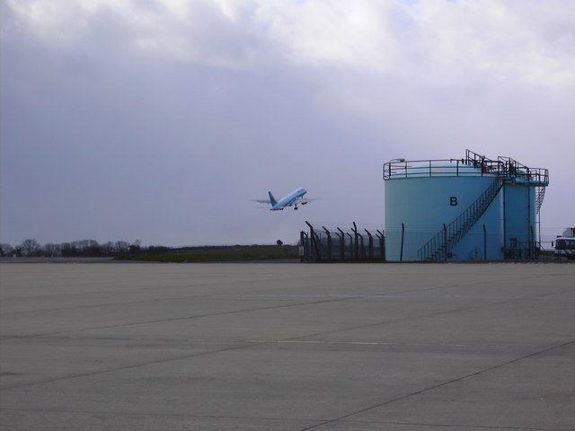
Bristol Airport

Bristol Airport (IATA: BRS, ICAO: EGGD), at Lulsgate Bottom, on the northern slopes of the Mendip Hills, in North Somerset, is an international airport...
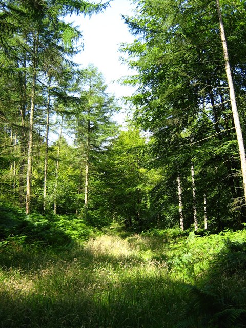
Brockley Combe

Brockley Combe is a wooded combe near the village of Brockley in North Somerset, England. The combe cuts into the western edge of the Lulsgate Plateau...

Taps Combe Camp

Taps Combe Camp (also known as Chelvey Batch Settlement) is an Iron Age hill fort in North Somerset, England. The hill fort is situated approximately 1...

Lulsgate Aerodrome

Lulsgate Aerodrome was a motor racing circuit at the former RAF Lulsgate Bottom airfield, which in 1957 subsequently became Bristol Airport. The airfield...

Woodspring (UK Parliament constituency)

Woodspring was a constituency represented in the House of Commons of the Parliament of the United Kingdom from 1983 until 2010. It elected one Member of...

Redhill, Somerset

Redhill is a compact village at the foot of a 173 m (AOD) hill of the same name to its east and north-east. Its lower level local authority is the civil...

Brockley, Somerset

Brockley is a village and civil parish in Somerset, England. The parish is within the unitary authority of North Somerset, about 3 miles (4.8 km) south...

Nearby Amenities

Located within 500m of 51.382536,-2.7413655
Stile: stepover
Lat/Long: 51.3833837/-2.7445615
Mtb Scale: 2
Lat/Long: 51.3796307/-2.7403886
Airmark: beacon
Beacon Type: ILS
Frequency: 110.15 MHz
Localizer: yes
Ref: I-BTS
Lat/Long: 51.3820006/-2.7364526
Aeroway: navigationaid
Navigationaid: als
Lat/Long: 51.3820692/-2.7348286
Information: map
Tourism: information
Lat/Long: 51.3825549/-2.7459383
Man Made: tower
Tower Construction: lattice
Lat/Long: 51.3818528/-2.7404158
Man Made: tower
Tower Construction: lattice
Lat/Long: 51.3820062/-2.7400009
Man Made: tower
Tower Construction: lattice
Lat/Long: 51.3819325/-2.7399945
Man Made: tower
Tower Construction: lattice
Lat/Long: 51.3818647/-2.7399849
Man Made: tower
Tower Construction: lattice
Lat/Long: 51.381793/-2.7399785
Man Made: tower
Tower Construction: lattice
Lat/Long: 51.3817133/-2.7399625
Man Made: tower
Tower Construction: lattice
Lat/Long: 51.3818747/-2.739554
Man Made: tower
Tower Construction: lattice
Lat/Long: 51.3818966/-2.7391262
Man Made: tower
Tower Construction: lattice
Lat/Long: 51.3819126/-2.7386921
Man Made: tower
Tower Construction: lattice
Lat/Long: 51.3819325/-2.7382707
Man Made: tower
Tower Construction: lattice
Lat/Long: 51.3820601/-2.7378439
Man Made: tower
Tower Construction: lattice
Lat/Long: 51.3820012/-2.7378339
Man Made: tower
Tower Construction: lattice
Lat/Long: 51.3819511/-2.7378339
Man Made: tower
Tower Construction: lattice
Lat/Long: 51.3818998/-2.7378279
Man Made: tower
Tower Construction: lattice
Lat/Long: 51.3818409/-2.7378238
Man Made: tower
Tower Construction: lattice
Lat/Long: 51.3819687/-2.7374126
Man Made: tower
Tower Construction: lattice
Lat/Long: 51.3819872/-2.7369933
Man Made: tower
Tower Construction: lattice
Lat/Long: 51.382123/-2.7357409
Man Made: tower
Tower Construction: lattice
Lat/Long: 51.3820733/-2.7357398
Man Made: tower
Tower Construction: lattice
Lat/Long: 51.3820322/-2.7357352
Man Made: tower
Tower Construction: lattice
Lat/Long: 51.3819918/-2.7357305
Man Made: tower
Tower Construction: lattice
Lat/Long: 51.3819413/-2.7357294
Man Made: tower
Tower Construction: lattice
Lat/Long: 51.3820184/-2.7361503
Man Made: tower
Tower Construction: lattice
Lat/Long: 51.3820516/-2.7352912
Aeroway: navigationaid
Navigationaid: als
Lat/Long: 51.3820902/-2.7344182
The data included in this document is from www.openstreetmap.org. The data is made available under ODbL.

Have you been to Abspit Pond?

Leave your review of Abspit Pond below (or comments, questions and feedback).