Ashkirk Loch

Lake, Pool, Pond, Freshwater Marsh in Roxburghshire

Scotland

Ashkirk Loch

Marker post, path to forest tracks Evidently not a path that is much used, though the route is given in the 'Paths around Hawick' booklet.
Marker post, path to forest tracks Credit: Jim Barton

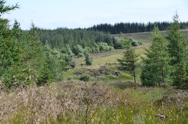
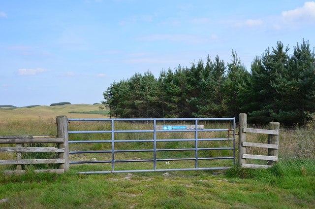
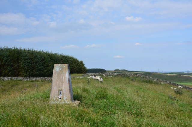
Ashkirk Loch is a picturesque freshwater loch located in Roxburghshire, Scotland. Spanning an area of approximately 20 acres, it is nestled amidst rolling hills and captivating natural beauty. The loch is surrounded by lush vegetation, including reed beds, and is home to a diverse range of wildlife.

The water in Ashkirk Loch is crystal clear and sustains a healthy ecosystem. It is primarily fed by a small freshwater stream that flows through the surrounding countryside, ensuring a constant supply of fresh water. This provides an ideal habitat for various species of fish, such as brown trout and perch, which thrive in these pristine conditions.

The loch also acts as a haven for numerous bird species. Visitors can spot an array of waterfowl, including ducks, swans, and herons, gracefully gliding across the calm waters. The surrounding vegetation offers nesting sites and food sources for these birds, providing a vital sanctuary for their breeding and survival.

Ashkirk Loch is a popular destination for fishing enthusiasts. Anglers can enjoy a peaceful day on the water, casting their lines and attempting to catch the abundant fish that inhabit the loch. The tranquil surroundings and serene atmosphere make it an idyllic spot for relaxation and unwinding amidst nature.

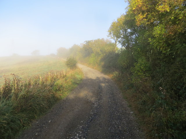
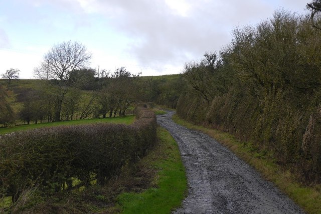
In addition to its natural beauty, Ashkirk Loch also offers stunning panoramic views of the surrounding countryside. Visitors can take leisurely walks along the loch's shores, admiring the ever-changing colors and reflections that dance upon the water's surface. The loch provides a tranquil escape from the bustling city life, allowing visitors to reconnect with nature and enjoy the peaceful serenity it offers.

If you have any feedback on the listing, please let us know in the comments section below.
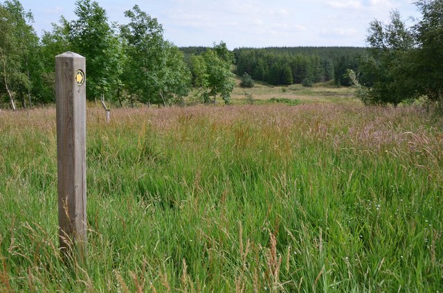
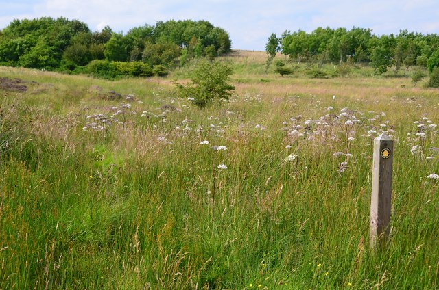
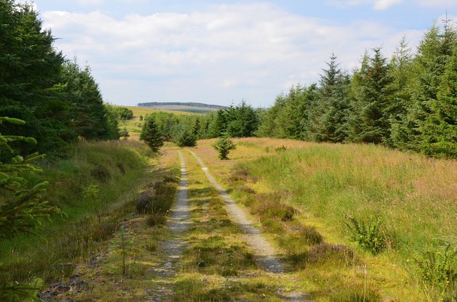
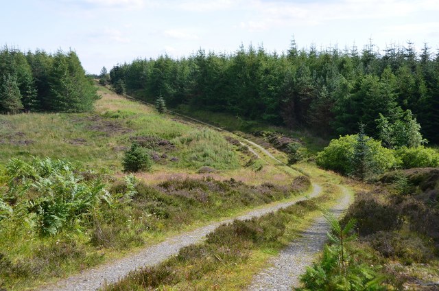
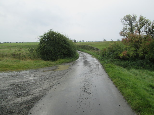
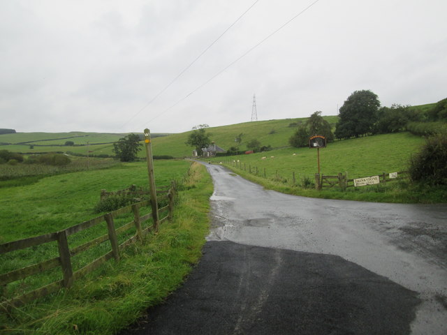
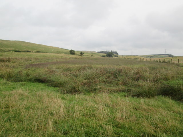
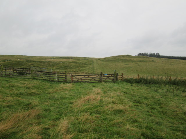
Ashkirk Loch Images

Images are sourced within 2km of 55.464039/-2.8297783 or Grid Reference NT4719. Thanks to Geograph Open Source API. All images are credited.

Marker post, path to forest tracks Evidently not a path that is much used, though the route is given in the 'Paths around Hawick' booklet.
Marker post, path to forest tracks
Evidently not a path that is much used, though the route is given in the 'Paths around Hawick' booklet.
Site of medieval settlement According to the 'Paths around Hawick' guide, this unplanted area E of Shielswood Loch was once the site of a medieval village.
Site of medieval settlement
According to the 'Paths around Hawick' guide, this unplanted area E of Shielswood Loch was once the site of a medieval village.
Forest track In the plantation between Ashkirk Loch and Shielswood Loch.
Forest track
In the plantation between Ashkirk Loch and Shielswood Loch.
Forest track, Moss Knowe Here crossing a small burn draining Blind Moss.
Forest track, Moss Knowe
Here crossing a small burn draining Blind Moss.
Exit from the forest, Moss Knowe The Drove Road to Hawick continues across the moorland ahead. For a reciprocal view, see <a href="https://www.geograph.org.uk/photo/3979590">NT4618 : Drove road, Moss Knowe</a>.
Exit from the forest, Moss Knowe
The Drove Road to Hawick continues across the moorland ahead. For a reciprocal view, see NT4618 : Drove road, Moss Knowe.
Riding route on Woo Law The blue markers indicate the Hawick Circular Riding Route. The plantation on the right is not shown on the 1:25,000 map.
Riding route on Woo Law
The blue markers indicate the Hawick Circular Riding Route. The plantation on the right is not shown on the 1:25,000 map.
Gate to Long Moss On the Hawick Circular Riding Route where it crosses a boggy moorland west of Drinkstone Hill.
Gate to Long Moss
On the Hawick Circular Riding Route where it crosses a boggy moorland west of Drinkstone Hill.
On the ridge of Drinkstone Hill A waymark for the Hawick Circular Riding Route which traverses the summit of this grassy hill north of Hawick. The hill in the distance is Rubers Law.
On the ridge of Drinkstone Hill
A waymark for the Hawick Circular Riding Route which traverses the summit of this grassy hill north of Hawick. The hill in the distance is Rubers Law.
Trig point, Drinkstone Hill The grassy sheep-grazed summit of Drinkstone Hill (318m).
Trig point, Drinkstone Hill
The grassy sheep-grazed summit of Drinkstone Hill (318m).
View across Longmoss Knowe from Drinkstone Hill Triangulation Pillar Looking north-westward.
View across Longmoss Knowe from Drinkstone Hill Triangulation Pillar
Looking north-westward.
Border Abbeys Way near Sunnybank on a misty October morning Looking north-westward.
Border Abbeys Way near Sunnybank on a misty October morning
Looking north-westward.
Track to Drinkstone Farm on a misty October morning Looking north-westward.
Track to Drinkstone Farm on a misty October morning
Looking north-westward.
Road, Sunnybank Borders Abbeys Way north of Hawick.
Road, Sunnybank
Borders Abbeys Way north of Hawick.
Borders  Abbeys  Way  on  minor  road
Borders Abbeys Way on minor road
Access  road  to  Drinkstone  Farm  and  Sunnybank
Access road to Drinkstone Farm and Sunnybank
Pond  with  no  clear  water,  vegetation   rules Drier weather has allowed the grasses to grow at a receding waters edge?
Pond with no clear water, vegetation rules
Drier weather has allowed the grasses to grow at a receding waters edge?
Track  toward  Drinkstone  Hill The B A Way follows the track as it angles to the right from the plantation to the skyline
Track toward Drinkstone Hill
The B A Way follows the track as it angles to the right from the plantation to the skyline
Borders  Abbeys  Way  east  of  Drinkstone  Hill
Borders Abbeys Way east of Drinkstone Hill
Show me another place!

Ashkirk Loch is located at Grid Ref: NT4719 (Lat: 55.464039, Lng: -2.8297783)

Unitary Authority: The Scottish Borders

Police Authority: The Lothians and Scottish Borders

What 3 Words

///hairpin.warbler.behalf. Near Hawick, Scottish Borders

Nearby Locations

Ashkirk Loch

Related Wikis

Ashkirk

Ashkirk is a small village on the Ale Water, in the Scottish Borders area of Scotland. It is located just off the A7 road, approximately 6 miles (10 kilometres...

Salenside

Salenside is a village off the A7, on the Ale Water, near Ashkirk, in the Scottish Borders area of Scotland, in the former Selkirkshire. There was a Salenside...

Woll

Woll is a village on the Ale Water, off the A7, in the Ettrick Forest, north of Hawick, and south of Selkirk in the Scottish Borders area of Scotland....

Bowismiln

Bowismiln is a village in the Scottish Borders area of Scotland. == See also == List of places in the Scottish Borders List of places in Scotland ��2...

Stirches

Stirches is an area of Hawick in the Scottish Borders, mostly consisting of ex-council housing built in 1973. It is often considered to be one of the more...

Wilton Dean

Wilton Dean is a village in the Scottish Borders area of Scotland, on the Cala Burn, and close to the River Teviot. Along with Stirches and...

Hawick railway station

Hawick railway station served the town of Hawick, Scottish Borders, Scotland from 1849 to 1969 on the Waverley Route. == History == The first station opened...

Burnfoot, Hawick

Burnfoot (Scottish Gaelic: Bun na h-Aibhne, Scots: Burnfit) is a housing estate just east of the A7, in the northern part of Hawick, by the Boonraw Burn...

Nearby Amenities

Located within 500m of 55.464039,-2.8297783
Natural: peak
Lat/Long: 55.4679279/-2.8297357
The data included in this document is from www.openstreetmap.org. The data is made available under ODbL.

Have you been to Ashkirk Loch?

Leave your review of Ashkirk Loch below (or comments, questions and feedback).