Keel Pool

Lake, Pool, Pond, Freshwater Marsh in Cumberland Carlisle

England

Keel Pool

Runway 07 Carlisle Airport The start of 07 is a principal feature in this grid square.  However, like many runways it is over 1km in length and so extends into the next square to the East.  Remarkably, a Hercules C130 can take off, land and take off again in its length.
Runway 07 Carlisle Airport Credit: Simon Ledingham

Keel Pool, located in Cumberland, is a stunning freshwater marsh that offers a diverse range of aquatic habitats. Spanning across a vast area, this pool is a popular destination for nature enthusiasts and birdwatchers alike.

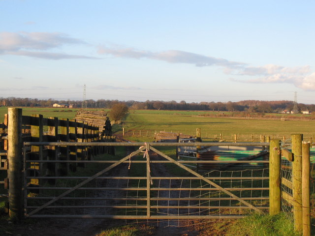
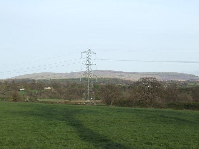
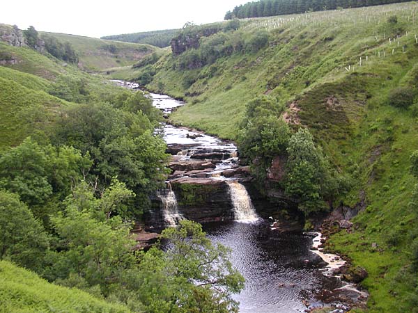
Surrounded by lush greenery and located within the scenic Lake District National Park, Keel Pool is a true haven for wildlife. The pool itself is a serene body of water, with crystal-clear freshwater that sustains a multitude of plant and animal species. The marshy edges of the pool are home to an array of reeds, rushes, and water lilies, creating a picturesque landscape.

Birds are a prominent feature of Keel Pool, attracting birdwatchers from far and wide. Visitors can spot a variety of species, including herons, moorhens, coots, and reed warblers. The tranquil atmosphere and abundant food sources make Keel Pool an ideal nesting and feeding ground for these feathered creatures.

Aside from avian inhabitants, the pool also supports a diverse range of aquatic life. Fish, such as perch and pike, can be found swimming beneath the water's surface. Invertebrates, including dragonflies and water beetles, thrive in the marshy areas, contributing to the pool's ecological richness.

To fully appreciate the beauty and biodiversity of Keel Pool, visitors can explore the surrounding footpaths and trails. These well-maintained routes offer panoramic views of the pool and its surrounding landscape, allowing visitors to immerse themselves in the natural wonders of Cumberland.

In conclusion, Keel Pool is a remarkable freshwater marsh nestled in Cumberland, boasting a rich variety of plants, animals, and birds. Its stunning scenery and diverse habitats make it a must-visit destination for nature enthusiasts and those seeking tranquility amidst the beauty of the Lake District National Park.

If you have any feedback on the listing, please let us know in the comments section below.

Keel Pool Images

Images are sourced within 2km of 54.91599/-2.8188821 or Grid Reference NY4758. Thanks to Geograph Open Source API. All images are credited.

Runway 07 Carlisle Airport The start of 07 is a principal feature in this grid square.  However, like many runways it is over 1km in length and so extends into the next square to the East.  Remarkably, a Hercules C130 can take off, land and take off again in its length.
Runway 07 Carlisle Airport
The start of 07 is a principal feature in this grid square. However, like many runways it is over 1km in length and so extends into the next square to the East. Remarkably, a Hercules C130 can take off, land and take off again in its length.
Woodside.
Woodside.
"Newby East"
"Newby East"
Livestock sheds at Holme Ends Farm, Newby East Not too sure what's being kept in these sheds. Chickens?
Livestock sheds at Holme Ends Farm, Newby East
Not too sure what's being kept in these sheds. Chickens?
A69, Warwick Bridge The village of Warwick Bridge is bisected by the very busy A69 Carlisle to Newcastle road
A69, Warwick Bridge
The village of Warwick Bridge is bisected by the very busy A69 Carlisle to Newcastle road
Spar shop and filling station, Warwick Bridge As is so often found now, the filling station on the busy A69 doubles up as the village shop.
Spar shop and filling station, Warwick Bridge
As is so often found now, the filling station on the busy A69 doubles up as the village shop.
Traffic lights, Corby Hill Where the road from Little Corby to Heads Nook crosses the busy A69 Carlisle to Newcastle road
Traffic lights, Corby Hill
Where the road from Little Corby to Heads Nook crosses the busy A69 Carlisle to Newcastle road
Little Corby The white house on the left is the Haywain public house
Little Corby
The white house on the left is the Haywain public house
River Irthing Looking upstream from the bridge at Newby East
River Irthing
Looking upstream from the bridge at Newby East
Newby East from the bridge The village stands well above the river on a terrace. The building on the left looks very much like a fortified farmhouse, quite common in Cumbria, dating from the days of the Border Reivers.
Newby East from the bridge
The village stands well above the river on a terrace. The building on the left looks very much like a fortified farmhouse, quite common in Cumbria, dating from the days of the Border Reivers.
Parkland at Corby Hill, Warwick Bridge
Warwick Bridge Carries the A69 Carlisle to Newcastle road over the River Eden, between Warwick Bridge and Warwick-on-Eden
Warwick Bridge
Carries the A69 Carlisle to Newcastle road over the River Eden, between Warwick Bridge and Warwick-on-Eden
Warwick Bridge Up-stream side of Warwick Bridge
Warwick Bridge
Up-stream side of Warwick Bridge
River Eden Looking down stream from Warwick Bridge, in the distance is Warwick Hall
River Eden
Looking down stream from Warwick Bridge, in the distance is Warwick Hall
River Eden Looking up stream from Warwick Bridge, the church in the distance is St Paul Church, Holme Eden
River Eden
Looking up stream from Warwick Bridge, the church in the distance is St Paul Church, Holme Eden
Lane to Warwick-on-Eden A view looking to the southeast along the lane from Holme Gate to Warwick-on-Eden, towards a small plantation.
Lane to Warwick-on-Eden
A view looking to the southeast along the lane from Holme Gate to Warwick-on-Eden, towards a small plantation.
Farmland on the Eden floodplain A view looking to the north across a sheepfold on farmland on the floodplain of the River Eden.
Farmland on the Eden floodplain
A view looking to the north across a sheepfold on farmland on the floodplain of the River Eden.
View over pastures Towards Cold Fell in the distance.
View over pastures
Towards Cold Fell in the distance.
Show me another place!

Keel Pool is located at Grid Ref: NY4758 (Lat: 54.91599, Lng: -2.8188821)

Administrative County: Cumbria

District: Carlisle

Police Authority: Cumbria

What 3 Words

///engine.loaning.treating. Near Wetheral, Cumbria

Nearby Locations

Keel Pool Newby East

Related Wikis

Little Corby

Little Corby is a village in the county of Cumbria in the north of England. It is east of the city of Carlisle, alongside the River Eden and near to the...

River Irthing

The River Irthing is a river in Cumbria, England and a major tributary of the River Eden. The name is recorded as Ard or Arden in early references. For...

Corby Hill

Corby Hill is a village in Cumbria, England. It is located 5.4 miles (8.7 km) by road east of the city centre of Carlisle. The Trout Beck stream passes...

Holme Eden Abbey

Holme Eden Abbey was an abbey in Cumbria, England. The current building (built 1833–37) is a Grade II* listed building. == History == It was designed in...

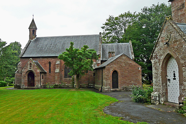
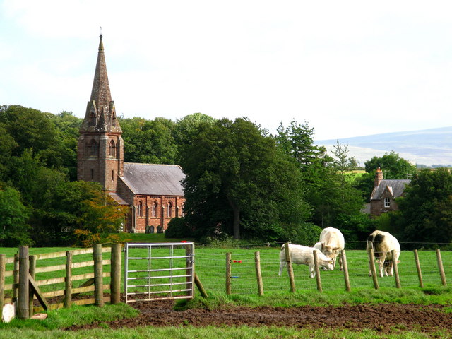
Our Lady and St Wilfrid's Church, Warwick Bridge

Our Lady and St Wilfrid's Church is a Roman Catholic church designed by Augustus Welby Northmore Pugin, completed in 1841. The church was designed for...

Warwick Bridge

Warwick Bridge is a village in the Cumberland area of the county of Cumbria, England. It forms part of a small urban area which includes the villages of...

Warwick Hall

Warwick Hall is a large country house located on the banks of the River Eden at Warwick-on-Eden in Cumbria, England, United Kingdom. == History == The...

Warwick-on-Eden

Warwick-on-Eden is a small village and (as just Warwick) a former civil parish, now in the parish of Wetheral, in the Carlisle district of the county of...

Nearby Amenities

Located within 500m of 54.91599,-2.8188821
Newby East
Place: hamlet
Source: NPE
Lat/Long: 54.9184316/-2.8211843
Traffic Signals
Lat/Long: 54.9142723/-2.8177301
Traffic Signals
Lat/Long: 54.9151033/-2.8176863
Newby Hall
Naptan AtcoCode: 090033222408
Naptan Bearing: E
Naptan BusStopType: CUS
Naptan CommonName: Newby Hall
Naptan Indicator: o/s
Naptan Landmark: Newby Hall
Naptan NaptanCode: cumatadg
Naptan Street: No name
Naptan Verified: no
Source: naptan_import
Lat/Long: 54.917147/-2.8194276
Design: three-level
Power: tower
Lat/Long: 54.9157455/-2.8202542
Design: three-level
Power: tower
Lat/Long: 54.917163/-2.8159297
Design: three-level
Power: tower
Lat/Long: 54.9156484/-2.8247815
Post Box
Post Box Type: lamp
Ref: CA4 264
Source: survey
Lat/Long: 54.9172948/-2.8187486
Parking
Lat/Long: 54.9152372/-2.8178991
Parking
Lat/Long: 54.9163337/-2.8183659
Barrier: kissing_gate
Lat/Long: 54.9137873/-2.8140825
Power: pole
Lat/Long: 54.9118936/-2.8217339
Power: pole
Lat/Long: 54.9119756/-2.8201231
Power: pole
Lat/Long: 54.9116772/-2.8184611
Power: pole
Lat/Long: 54.9199108/-2.816869
Power: pole
Lat/Long: 54.9191558/-2.8180744
Power: pole
Lat/Long: 54.9184388/-2.8192244
Power: pole
Lat/Long: 54.9180719/-2.8212343
Power: pole
Lat/Long: 54.9179082/-2.8230622
Power: pole
Lat/Long: 54.9177915/-2.8247951
The data included in this document is from www.openstreetmap.org. The data is made available under ODbL.

Have you been to Keel Pool?

Leave your review of Keel Pool below (or comments, questions and feedback).