Scar Pool

Lake, Pool, Pond, Freshwater Marsh in Roxburghshire

Scotland

Scar Pool

Minor road at Stonegarthside Hall Looking south-eastward.
Minor road at Stonegarthside Hall Credit: Peter Wood

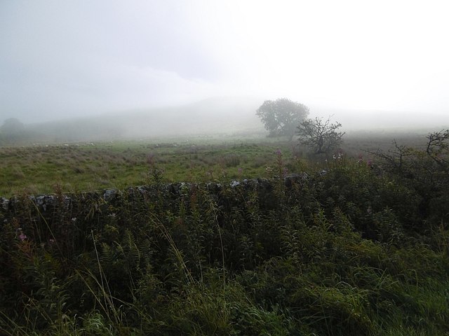
Scar Pool is a small freshwater body located in the county of Roxburghshire in Scotland. Nestled amidst the picturesque Scottish Borders region, it is a popular destination for both locals and tourists seeking a tranquil natural setting.

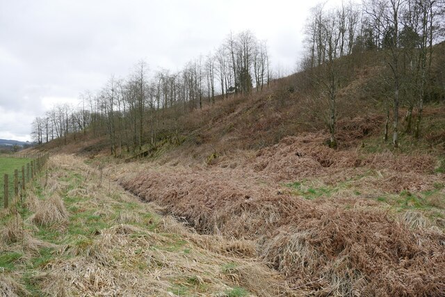
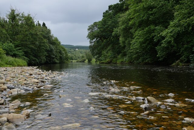
Measuring approximately 2.5 acres in size, Scar Pool is often referred to as a lake, although its relatively small dimensions classify it more accurately as a pool or pond. Surrounded by lush greenery and rolling hills, the pool is known for its crystal-clear water, which reflects the stunning scenery that surrounds it.

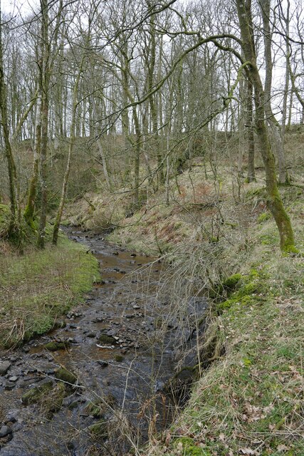
The pool is fed by a combination of natural springs and rainwater runoff, ensuring a constant supply of fresh, clean water. Its depth varies throughout the year, ranging from a few feet in the shallower areas to approximately 15 feet in the deepest section. This makes it an ideal habitat for a diverse range of aquatic plants and animals.

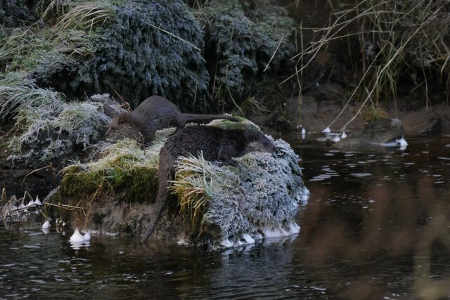
Scar Pool is also home to a freshwater marsh, which provides a vital ecosystem for a variety of plant and animal species. The marshland is characterized by its rich soil and abundance of reeds, rushes, and other wetland vegetation. It serves as a breeding ground for numerous bird species, including waterfowl such as ducks and swans.

Visitors to Scar Pool can enjoy a peaceful atmosphere, with opportunities for fishing, birdwatching, and simply taking in the natural beauty of the surroundings. The pool is easily accessible, with nearby parking and walking trails that provide scenic views of the area.

If you have any feedback on the listing, please let us know in the comments section below.
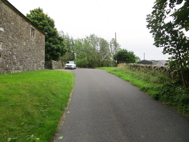
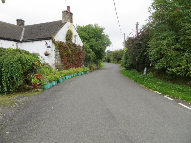
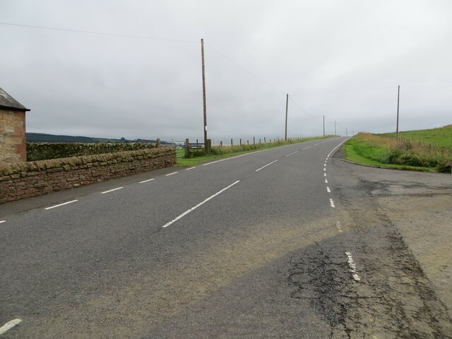
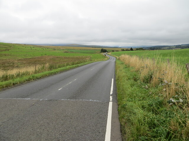
Scar Pool Images

Images are sourced within 2km of 55.143031/-2.8230397 or Grid Reference NY4783. Thanks to Geograph Open Source API. All images are credited.

Minor road at Stonegarthside Hall Looking south-eastward.
Minor road at Stonegarthside Hall
Looking south-eastward.
Minor road between Stonegarthside Hall and Kershope House Looking north-eastward.
Minor road between Stonegarthside Hall and Kershope House
Looking north-eastward.
Minor road at Kershopefoot Looking south-eastward.
Minor road at Kershopefoot
Looking south-eastward.
Road (B6357) at Dinwoodie, Greena Hill Looking south-westward.
Road (B6357) at Dinwoodie, Greena Hill
Looking south-westward.
Road (B6357) near Dinwoodie, Greena Hill Looking north-eastward.
Road (B6357) near Dinwoodie, Greena Hill
Looking north-eastward.
Ordnance Survey Cut Mark This mark can be found on the roadside wall of a barn at Stonegarthside Hall.
The recorded details give a height of 146.2553 metres above sea level.
For more details see : <span class="nowrap"><a title="https://www.bench-marks.org.uk/bm164658" rel="nofollow ugc noopener" href="https://www.bench-marks.org.uk/bm164658">Link</a><img style="margin-left:2px;" alt="External link" title="External link - shift click to open in new window" src="https://s1.geograph.org.uk/img/external.png" width="10" height="10"/></span>
Ordnance Survey Cut Mark
This mark can be found on the roadside wall of a barn at Stonegarthside Hall. The recorded details give a height of 146.2553 metres above sea level. For more details see : LinkExternal link
Kershopefoot tree nursery: Storm Arwen damage Storm Arwen (26/27 November 2021) damage at the tree nursery near Kershopefoot.  For further information on the nursery, refer to <a href="https://www.geograph.org.uk/photo/6784123">NY4782 : Track through the tree nursery</a>

This photograph was taken during the Coronavirus (COVID-19) pandemic of 2020/21/22.
Kershopefoot tree nursery: Storm Arwen damage
Storm Arwen (26/27 November 2021) damage at the tree nursery near Kershopefoot. For further information on the nursery, refer to NY4782 : Track through the tree nursery This photograph was taken during the Coronavirus (COVID-19) pandemic of 2020/21/22.
B6357 near Kershopefoot
Road into Thistlesike Plantation
Above the Liddel Water floodplain near Gilside Open woodland above the Liddel Water floodplain south of Newcastleton.
Above the Liddel Water floodplain near Gilside
Open woodland above the Liddel Water floodplain south of Newcastleton.
A sike near Gilside This sike is just about to flow in to the Liddel Water and is the combined water of the Kenneth Sike and Foulwood Sike which drain moorland and forestry above the valley.
A sike near Gilside
This sike is just about to flow in to the Liddel Water and is the combined water of the Kenneth Sike and Foulwood Sike which drain moorland and forestry above the valley.
A view of the Liddesdale from Gilbraehead The meandering Liddel Water and adjacent sheep and cattle pasture predominate this view from just south of Gilbraehead.
A view of the Liddesdale from Gilbraehead
The meandering Liddel Water and adjacent sheep and cattle pasture predominate this view from just south of Gilbraehead.
The Liddel Water south of Kerr Pool A relatively low water level is typical of many of the rivers in the area after several weeks of very low rainfall.
The Liddel Water south of Kerr Pool
A relatively low water level is typical of many of the rivers in the area after several weeks of very low rainfall.
Otters by the Liddel Water Two of last year's young, still accompanied by their mother, just out of shot.  They were watched, seemingly unperturbed by human presence, for approximately 15 minutes as they worked their way up the Liddel Water on a cold January afternoon.
Otters by the Liddel Water
Two of last year's young, still accompanied by their mother, just out of shot. They were watched, seemingly unperturbed by human presence, for approximately 15 minutes as they worked their way up the Liddel Water on a cold January afternoon.
Frost on conifer needles A frosted specimen in the tree nursery at Kershopefoot, captured on a January afternoon.
Frost on conifer needles
A frosted specimen in the tree nursery at Kershopefoot, captured on a January afternoon.
Hair ice on a fallen branch A very particular set of conditions are required for the formation of hair ice, caused by the actions of a specific fungus: 'To form, moist rotting wood from a broadleaf tree is required with the presence of moist air and a temperature slightly below 0°C. It is generally confined to latitudes between 45°N and 55°N' according to the Met Office <span class="nowrap"><a title="https://www.metoffice.gov.uk/weather/learn-about/weather/types-of-weather/frost-and-ice/hair-ice" rel="nofollow ugc noopener" href="https://www.metoffice.gov.uk/weather/learn-about/weather/types-of-weather/frost-and-ice/hair-ice">Link</a><img style="margin-left:2px;" alt="External link" title="External link - shift click to open in new window" src="https://s1.geograph.org.uk/img/external.png" width="10" height="10"/></span>.
Hair ice on a fallen branch
A very particular set of conditions are required for the formation of hair ice, caused by the actions of a specific fungus: 'To form, moist rotting wood from a broadleaf tree is required with the presence of moist air and a temperature slightly below 0°C. It is generally confined to latitudes between 45°N and 55°N' according to the Met Office LinkExternal link.
Hair ice on a tree branch at Kershopefoot A very particular set of conditions are required for the formation of hair ice, caused by the actions of a specific fungus: 'To form, moist rotting wood from a broadleaf tree is required with the presence of moist air and a temperature slightly below 0°C. It is generally confined to latitudes between 45°N and 55°N' according to the Met Office <span class="nowrap"><a title="https://www.metoffice.gov.uk/weather/learn-about/weather/types-of-weather/frost-and-ice/hair-ice" rel="nofollow ugc noopener" href="https://www.metoffice.gov.uk/weather/learn-about/weather/types-of-weather/frost-and-ice/hair-ice">Link</a><img style="margin-left:2px;" alt="External link" title="External link - shift click to open in new window" src="https://s1.geograph.org.uk/img/external.png" width="10" height="10"/></span>.
Hair ice on a tree branch at Kershopefoot
A very particular set of conditions are required for the formation of hair ice, caused by the actions of a specific fungus: 'To form, moist rotting wood from a broadleaf tree is required with the presence of moist air and a temperature slightly below 0°C. It is generally confined to latitudes between 45°N and 55°N' according to the Met Office LinkExternal link.
Lifting fog, Sorbietrees Morning fog lifting in Liddesdale and revealing Carby Hill.
Lifting fog, Sorbietrees
Morning fog lifting in Liddesdale and revealing Carby Hill.
Show me another place!

Scar Pool is located at Grid Ref: NY4783 (Lat: 55.143031, Lng: -2.8230397)

Unitary Authority: The Scottish Borders

Police Authority: The Lothians and Scottish Borders

What 3 Words

///possible.flies.regarding. Near Langholm, Dumfries & Galloway

Nearby Locations

Scar Pool

Related Wikis

Kershope Burn

Kershope Burn is a small river; a tributary of both the Liddel Water and the River Esk; its final destination is the Solway Firth. The early stages begin...

Penton railway station

Penton railway station served the parish of Penton from 1862 to 1969 on the Border Union Railway. == History == The station opened on 1 March 1862 by the...

Kershope Foot railway station

Kershope Foot railway station served the hamlet of Kershopefoot, Cumbria, from 1862 to 1969 on the Border Union Railway. == History == The station opened...

Kershopefoot

Kershopefoot is a small hamlet in Cumbria, England, traditionally in Cumberland. It is located very close to the Scotland-England border and is near the...

Mangerton Tower

Mangerton Tower is a ruined Scottish tower castle house formerly belonging to the Armstrong family. Mangerton Tower is at Mangerton in Newcastleton or...

Ettleton

Ettleton is a village near Castleton, in the Scottish Borders area of Scotland, in the former Roxburghshire. == Etymology and history == Ettleton Parish...

Newcastleton

Newcastleton, also called Copshaw Holm, is a village in Liddesdale, the Scottish Borders, a few miles from the border with England, on the Liddel Water...

Castleton, Scottish Borders

Castleton (Scottish Gaelic: Baile Chaisteil) is a civil parish in the Scottish Borders area of Scotland, in the former Roxburghshire, in the extreme south...

Nearby Amenities

Located within 500m of 55.143031,-2.8230397
Historic: archaeological_site
Source: NLS - OS 1:25k 1st Series 1937-61
Lat/Long: 55.1389378/-2.8242091
Power: pole
Lat/Long: 55.1397742/-2.8272514
Power: pole
Lat/Long: 55.1393878/-2.8256741
Power: pole
Lat/Long: 55.1418283/-2.8263544
Power: pole
Lat/Long: 55.1429066/-2.8258697
Power: pole
Lat/Long: 55.1439772/-2.8253798
Power: pole
Lat/Long: 55.1450425/-2.8249007
Power: pole
Lat/Long: 55.146092/-2.8244277
Power: pole
Lat/Long: 55.1470278/-2.8240118
Power: pole
Lat/Long: 55.1460392/-2.826046
Power: pole
Lat/Long: 55.1460112/-2.82756
Power: pole
Lat/Long: 55.1465483/-2.8228865
Power: pole
Lat/Long: 55.1468191/-2.8219647
Power: pole
Lat/Long: 55.1460568/-2.8207776
Power: pole
Lat/Long: 55.1453107/-2.8196344
Power: pole
Lat/Long: 55.144625/-2.8185864
Power: pole
Lat/Long: 55.1449046/-2.817474
Power: pole
Lat/Long: 55.1451665/-2.8164105
The data included in this document is from www.openstreetmap.org. The data is made available under ODbL.

Have you been to Scar Pool?

Leave your review of Scar Pool below (or comments, questions and feedback).