Allanwater Reservoir

Lake, Pool, Pond, Freshwater Marsh in Roxburghshire

Scotland

Allanwater Reservoir

Grazing and woodland near Southfield In the Roxburgh hills.
Grazing and woodland near Southfield Credit: James Denham

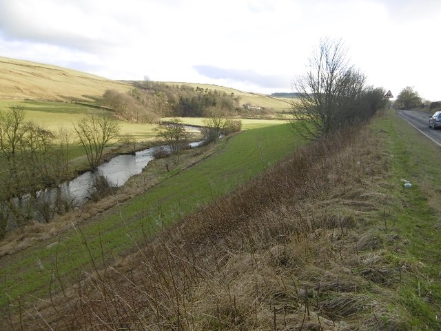
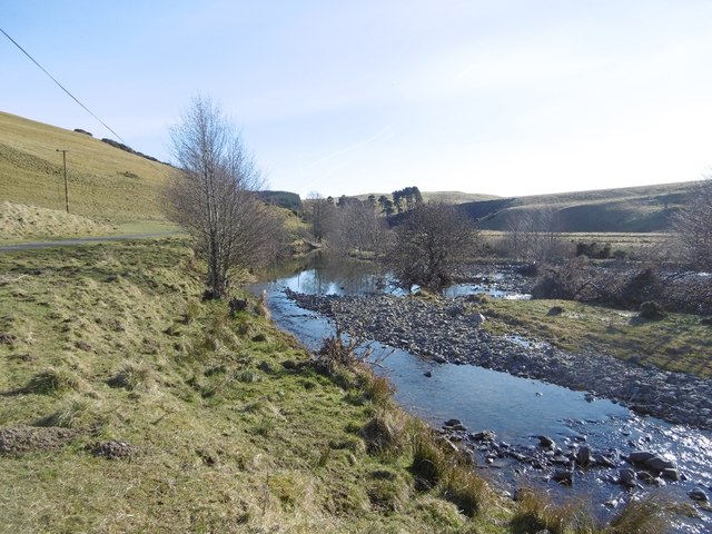
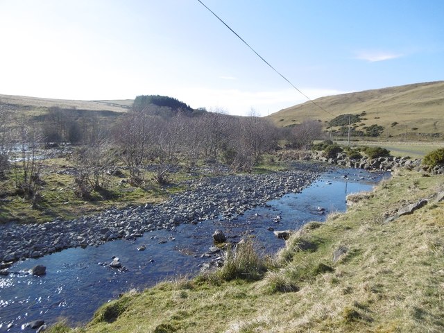
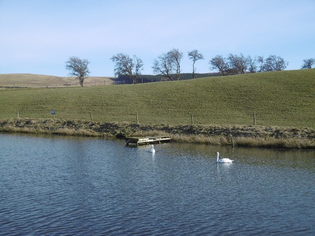
Allanwater Reservoir is a freshwater lake located in Roxburghshire, Scotland. It is situated in the southern part of the country and covers an area of approximately 50 acres. The reservoir is a popular recreational spot for locals and visitors alike.

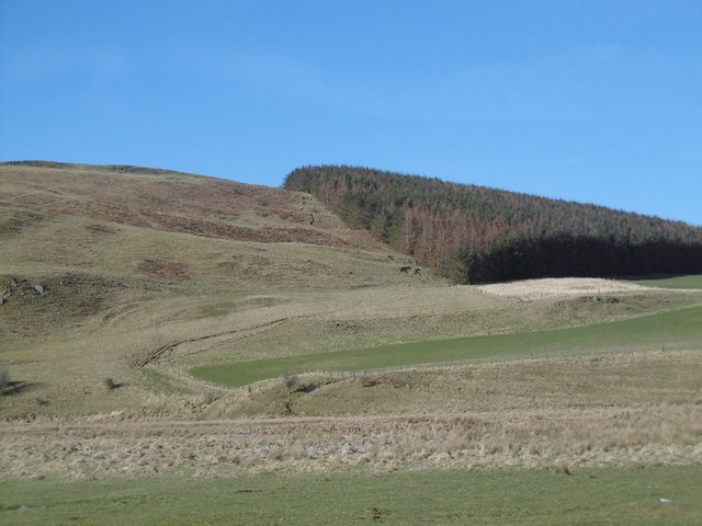
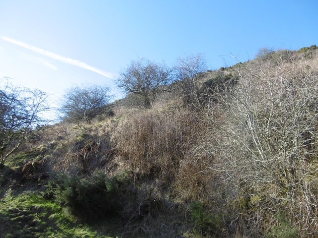
The lake is surrounded by picturesque rolling hills and offers stunning views of the surrounding countryside. It is fed by the Allan Water, a small river that flows into the reservoir, ensuring a constant supply of fresh water. The depth of the lake varies, with some areas reaching depths of up to 20 feet.

Allanwater Reservoir is home to a variety of fish species, including brown trout and rainbow trout, making it a popular spot for fishing enthusiasts. Anglers can be seen casting their lines from the banks of the lake, hoping for a catch.

The reservoir also attracts a diverse range of bird species, particularly during the migration season. Birdwatchers can spot a variety of waterfowl, including ducks, swans, and herons, as well as other species such as buzzards and falcons.

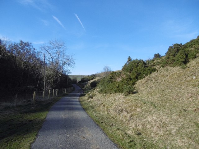
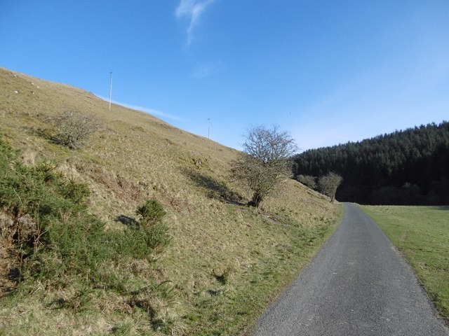
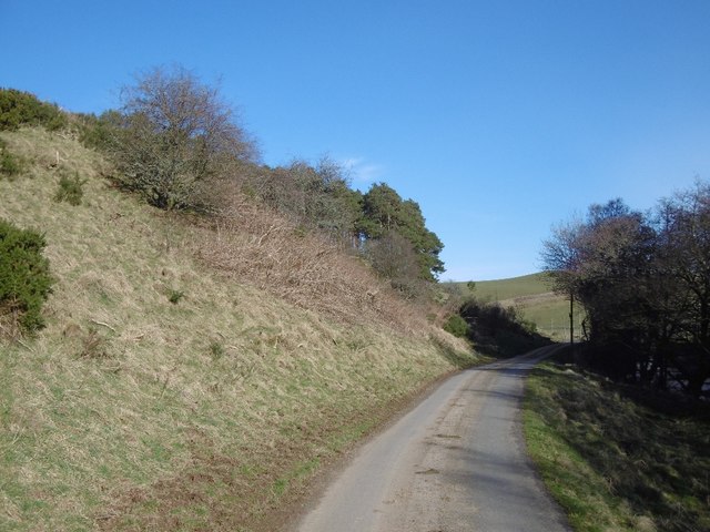
Visitors to Allanwater Reservoir can enjoy a range of recreational activities. The calm waters are ideal for boating and kayaking, and there is a designated area for launching small watercraft. Additionally, there are several walking trails around the lake, providing opportunities for leisurely strolls and picnics.

Overall, Allanwater Reservoir is a peaceful and serene freshwater lake that offers a wide range of activities for nature lovers and outdoor enthusiasts.

If you have any feedback on the listing, please let us know in the comments section below.

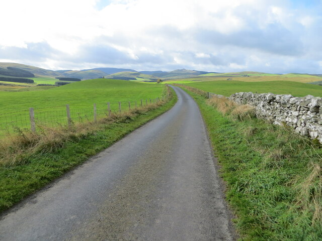
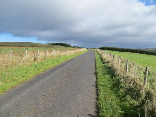
Allanwater Reservoir Images

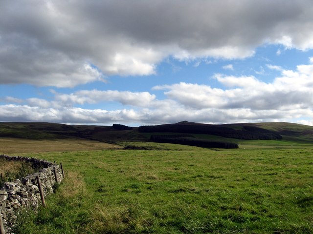
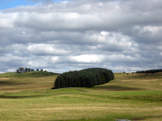
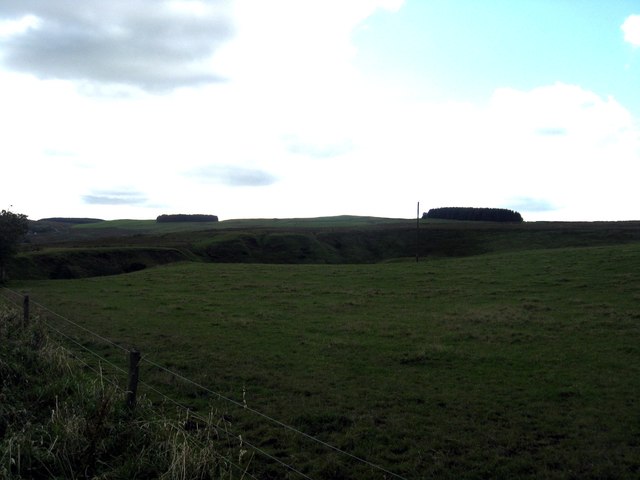
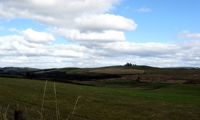
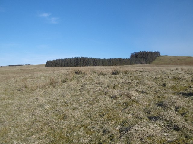
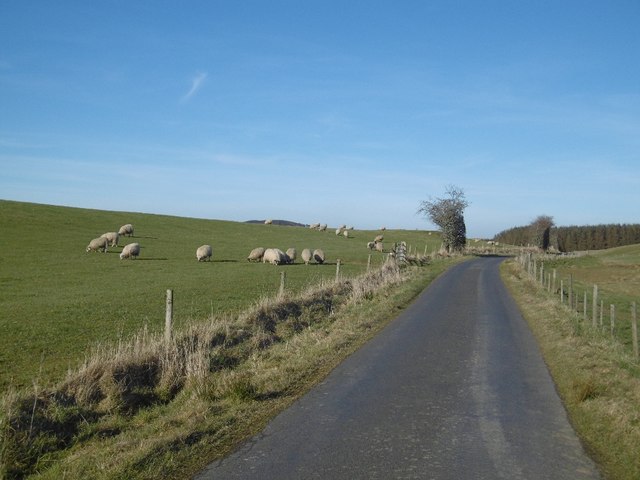
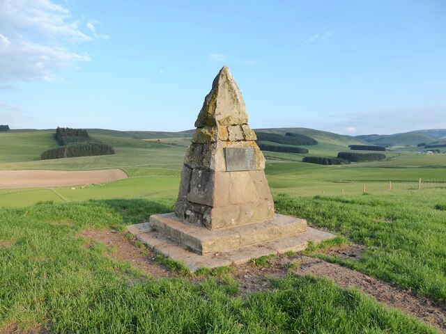
Images are sourced within 2km of 55.376388/-2.8432496 or Grid Reference NT4609. Thanks to Geograph Open Source API. All images are credited.

Grazing and woodland near Southfield In the Roxburgh hills.
Grazing and woodland near Southfield
In the Roxburgh hills.
Gently rolling pasture land near Southfield Farm In Roxburghshire.
Gently rolling pasture land near Southfield Farm
In Roxburghshire.
Grazing land at Dodburn in Roxburghshire The declevity seen across the photograph is the path of the Allan Water.
Grazing land at Dodburn in Roxburghshire
The declevity seen across the photograph is the path of the Allan Water.
Grazing lands near Winningtonrig in Roxburghshire
River Teviot Upstream of Newmill, beside the A7
River Teviot
Upstream of Newmill, beside the A7
Minor road along the Allan Water Beyond the Newmills fords, a very quiet road.
Minor road along the Allan Water
Beyond the Newmills fords, a very quiet road.
Allanhaugh A yellow road beside the Allan Water (Roxburghshire).
Allanhaugh
A yellow road beside the Allan Water (Roxburghshire).
Allan Water After several big spates in the preceding months.
Allan Water
After several big spates in the preceding months.
Allan Water Downstream view with evidence of recent spates.
Allan Water
Downstream view with evidence of recent spates.
Hill Head Rough grazing above the Allan Water.
Hill Head
Rough grazing above the Allan Water.
Scrubby hillside, Southfield Above the Allan Water
Scrubby hillside, Southfield
Above the Allan Water
Minor road, Southfield
Pond near Southfield A stillwater fishery.  The swans were soon heading my way.
Pond near Southfield
A stillwater fishery. The swans were soon heading my way.
Rough grazing above the Gate Burn
Minor road, Dodburn The road serves farms in the hills off Teviotdale.
Minor road, Dodburn
The road serves farms in the hills off Teviotdale.
Cairn on Auld Ca-Knowe Ca’ Knowe cairn was erected in 1911 to commemorate the historic calling of the burgess roll at this spot during the annual Hawick riding the marches between 1537 and 1777.
Cairn on Auld Ca-Knowe
Ca’ Knowe cairn was erected in 1911 to commemorate the historic calling of the burgess roll at this spot during the annual Hawick riding the marches between 1537 and 1777.
Wall and fence enclosed minor road near to Auld Ca-knowe Looking south-westward.
Wall and fence enclosed minor road near to Auld Ca-knowe
Looking south-westward.
Fence enclosed minor road near to Lord's Tree Looking north-eastward.
Fence enclosed minor road near to Lord's Tree
Looking north-eastward.
Show me another place!

Allanwater Reservoir is located at Grid Ref: NT4609 (Lat: 55.376388, Lng: -2.8432496)

Unitary Authority: The Scottish Borders

Police Authority: The Lothians and Scottish Borders

What 3 Words

///mended.chainsaw.vans. Near Hawick, Scottish Borders

Nearby Locations

Allanwater Reservoir

Related Wikis

Nearby Amenities

Located within 500m of 55.376388,-2.8432496
Barrier: cattle_grid
Source: survey
Lat/Long: 55.3744805/-2.8438803
Power: pole
Lat/Long: 55.3778885/-2.8491908
Power: pole
Lat/Long: 55.3779529/-2.8481403
Power: pole
Lat/Long: 55.3776193/-2.8470639
Power: pole
Lat/Long: 55.3773179/-2.8461344
Power: pole
Lat/Long: 55.3769478/-2.8449525
Power: pole
Lat/Long: 55.3765791/-2.8438144
Power: pole
Lat/Long: 55.3758651/-2.8436135
Power: pole
Lat/Long: 55.3754965/-2.8427895
Power: pole
Lat/Long: 55.3751687/-2.8418548
Power: pole
Lat/Long: 55.3748615/-2.8409793
Power: pole
Lat/Long: 55.3746113/-2.8402944
Power: pole
Lat/Long: 55.3743406/-2.8395142
Power: pole
Lat/Long: 55.3739441/-2.8383606
Power: pole
Lat/Long: 55.3736281/-2.837462
Power: pole
Lat/Long: 55.3741307/-2.8414084
Power: pole
Lat/Long: 55.3735431/-2.8428236
Power: pole
Lat/Long: 55.373248/-2.8434641
The data included in this document is from www.openstreetmap.org. The data is made available under ODbL.

Have you been to Allanwater Reservoir?

Leave your review of Allanwater Reservoir below (or comments, questions and feedback).