Fowlsnest Pool

Lake, Pool, Pond, Freshwater Marsh in Cumberland Carlisle

England

Fowlsnest Pool

Tree-lined minor road between Stonegarthside and Hirsthead Looking south-westward.
Tree-lined minor road between Stonegarthside and Hirsthead Credit: Peter Wood

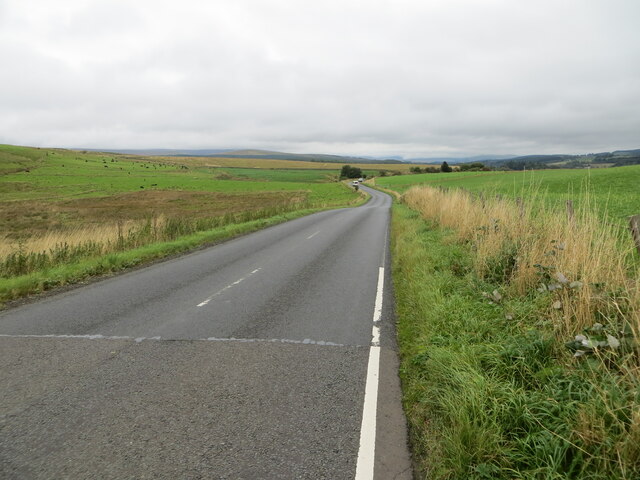
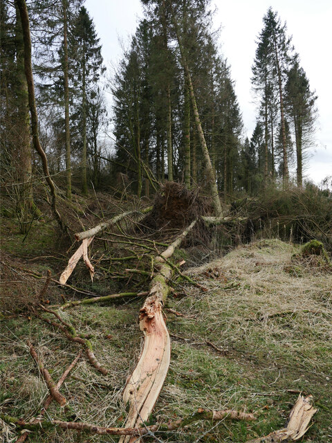
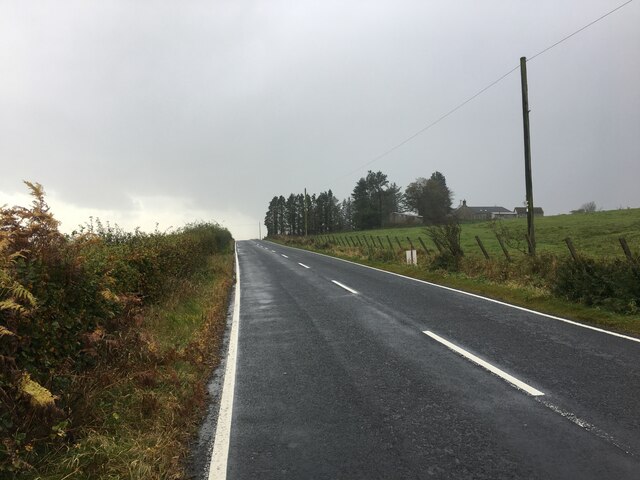
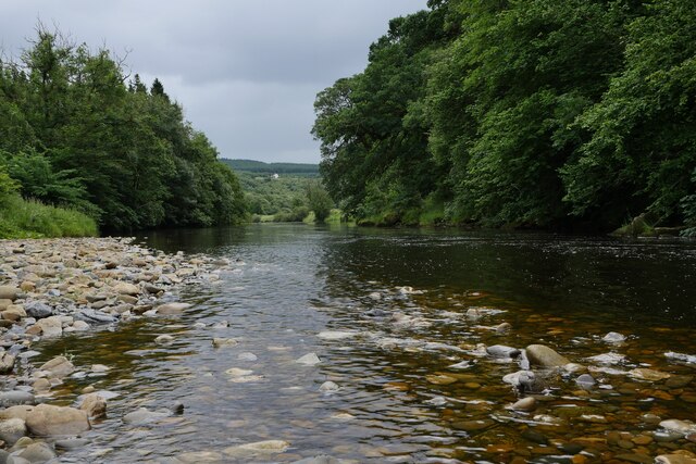
Fowlsnest Pool is a freshwater marsh located in Cumberland, a historic county in the northwest of England. It is situated within the expansive Lake District National Park, known for its stunning landscapes and diverse wildlife. The pool covers an area of approximately 10 acres and is surrounded by a mixture of marshland and woodlands.

The pool is fed by several small streams that flow into it, ensuring a constant supply of fresh water. The water itself is clear and cool, providing a suitable habitat for a variety of aquatic plants and animals. The pool is home to numerous species of fish, including perch, roach, and trout, which attract fishing enthusiasts from near and far.

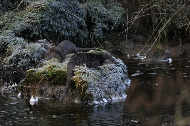
The marshland surrounding Fowlsnest Pool is rich in biodiversity, supporting a wide range of bird species. Visitors to the area can expect to see herons, mallards, swans, and various types of waterfowl. The tranquil and undisturbed nature of the pool makes it an ideal spot for birdwatching and enjoying the peacefulness of nature.

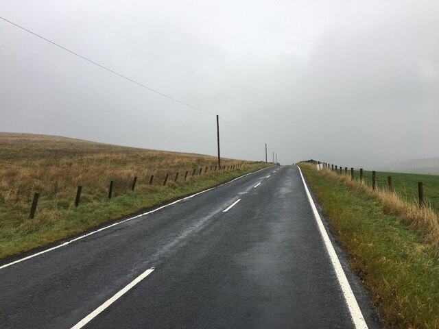
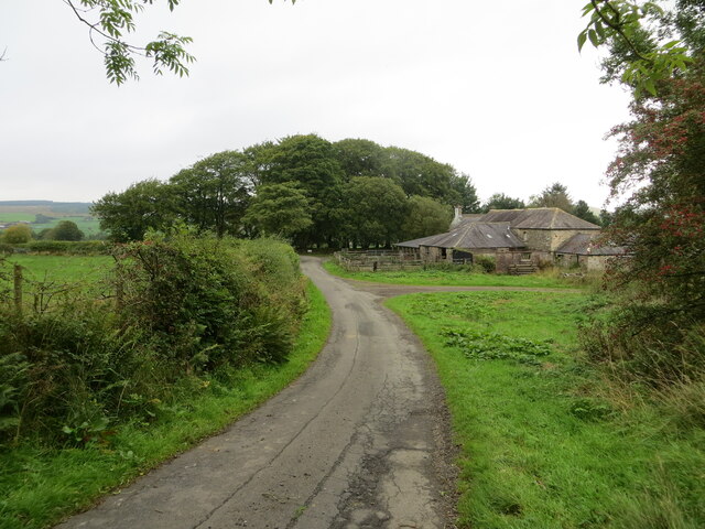
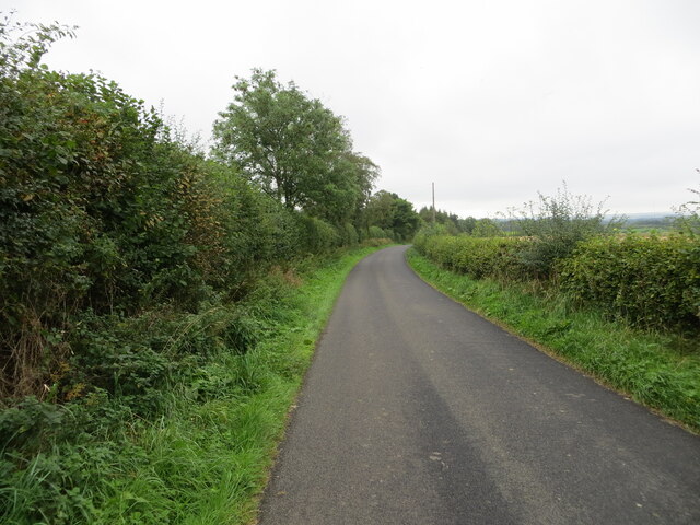
Access to Fowlsnest Pool is relatively easy, with a designated parking area and well-maintained walking paths leading to the pool. The surrounding area also offers additional recreational activities, such as hiking trails and picnic spots, allowing visitors to make the most of their time in this picturesque location.

Overall, Fowlsnest Pool in Cumberland is a hidden gem within the Lake District National Park, offering a serene and biodiverse environment for nature enthusiasts and those seeking a peaceful retreat amidst the stunning English countryside.

If you have any feedback on the listing, please let us know in the comments section below.

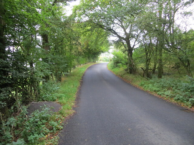
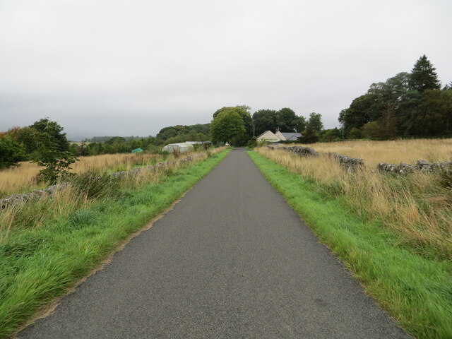
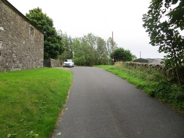
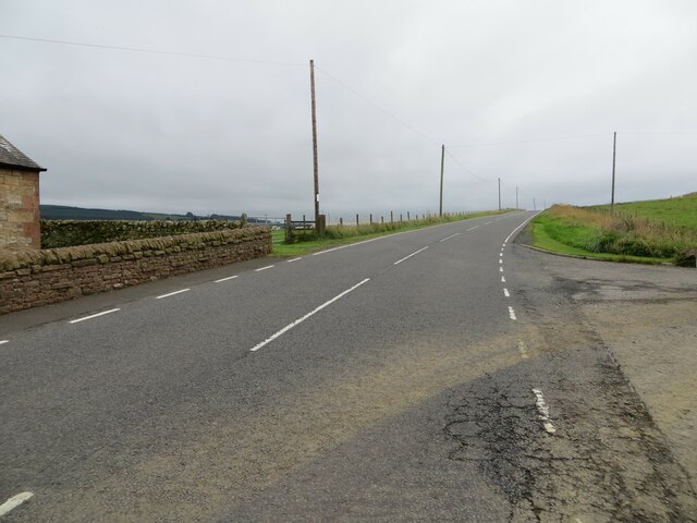
Fowlsnest Pool Images

Images are sourced within 2km of 55.117346/-2.8378607 or Grid Reference NY4680. Thanks to Geograph Open Source API. All images are credited.

Tree-lined minor road between Stonegarthside and Hirsthead Looking south-westward.
Tree-lined minor road between Stonegarthside and Hirsthead
Looking south-westward.
Tree-lined minor road approaching Stonegarthside Looking north-eastward.
Tree-lined minor road approaching Stonegarthside
Looking north-eastward.
Minor road approaching Longcleughside Looking north-eastward.
Minor road approaching Longcleughside
Looking north-eastward.
Minor road at Stonegarthside Hall Looking south-eastward.
Minor road at Stonegarthside Hall
Looking south-eastward.
Road (B6357) at Dinwoodie, Greena Hill Looking south-westward.
Road (B6357) at Dinwoodie, Greena Hill
Looking south-westward.
Road (B6357) near Dinwoodie, Greena Hill Looking north-eastward.
Road (B6357) near Dinwoodie, Greena Hill
Looking north-eastward.
Ordnance Survey Cut Mark This mark can be found on the roadside wall of a barn at Stonegarthside Hall.
The recorded details give a height of 146.2553 metres above sea level.
For more details see : <span class="nowrap"><a title="https://www.bench-marks.org.uk/bm164658" rel="nofollow ugc noopener" href="https://www.bench-marks.org.uk/bm164658">Link</a><img style="margin-left:2px;" alt="External link" title="External link - shift click to open in new window" src="https://s1.geograph.org.uk/img/external.png" width="10" height="10"/></span>
Ordnance Survey Cut Mark
This mark can be found on the roadside wall of a barn at Stonegarthside Hall. The recorded details give a height of 146.2553 metres above sea level. For more details see : LinkExternal link
Kershopefoot tree nursery: Storm Arwen damage Storm Arwen (26/27 November 2021) damage at the tree nursery near Kershopefoot.  For further information on the nursery, refer to <a href="https://www.geograph.org.uk/photo/6784123">NY4782 : Track through the tree nursery</a>

This photograph was taken during the Coronavirus (COVID-19) pandemic of 2020/21/22.
Kershopefoot tree nursery: Storm Arwen damage
Storm Arwen (26/27 November 2021) damage at the tree nursery near Kershopefoot. For further information on the nursery, refer to NY4782 : Track through the tree nursery This photograph was taken during the Coronavirus (COVID-19) pandemic of 2020/21/22.
B6357 near Ryeleahead
The Liddel Water south of Kerr Pool A relatively low water level is typical of many of the rivers in the area after several weeks of very low rainfall.
The Liddel Water south of Kerr Pool
A relatively low water level is typical of many of the rivers in the area after several weeks of very low rainfall.
Otters by the Liddel Water Two of last year's young, still accompanied by their mother, just out of shot.  They were watched, seemingly unperturbed by human presence, for approximately 15 minutes as they worked their way up the Liddel Water on a cold January afternoon.
Otters by the Liddel Water
Two of last year's young, still accompanied by their mother, just out of shot. They were watched, seemingly unperturbed by human presence, for approximately 15 minutes as they worked their way up the Liddel Water on a cold January afternoon.
Frost on conifer needles A frosted specimen in the tree nursery at Kershopefoot, captured on a January afternoon.
Frost on conifer needles
A frosted specimen in the tree nursery at Kershopefoot, captured on a January afternoon.
Hair ice on a fallen branch A very particular set of conditions are required for the formation of hair ice, caused by the actions of a specific fungus: 'To form, moist rotting wood from a broadleaf tree is required with the presence of moist air and a temperature slightly below 0°C. It is generally confined to latitudes between 45°N and 55°N' according to the Met Office <span class="nowrap"><a title="https://www.metoffice.gov.uk/weather/learn-about/weather/types-of-weather/frost-and-ice/hair-ice" rel="nofollow ugc noopener" href="https://www.metoffice.gov.uk/weather/learn-about/weather/types-of-weather/frost-and-ice/hair-ice">Link</a><img style="margin-left:2px;" alt="External link" title="External link - shift click to open in new window" src="https://s1.geograph.org.uk/img/external.png" width="10" height="10"/></span>.
Hair ice on a fallen branch
A very particular set of conditions are required for the formation of hair ice, caused by the actions of a specific fungus: 'To form, moist rotting wood from a broadleaf tree is required with the presence of moist air and a temperature slightly below 0°C. It is generally confined to latitudes between 45°N and 55°N' according to the Met Office LinkExternal link.
Hair ice on a tree branch at Kershopefoot A very particular set of conditions are required for the formation of hair ice, caused by the actions of a specific fungus: 'To form, moist rotting wood from a broadleaf tree is required with the presence of moist air and a temperature slightly below 0°C. It is generally confined to latitudes between 45°N and 55°N' according to the Met Office <span class="nowrap"><a title="https://www.metoffice.gov.uk/weather/learn-about/weather/types-of-weather/frost-and-ice/hair-ice" rel="nofollow ugc noopener" href="https://www.metoffice.gov.uk/weather/learn-about/weather/types-of-weather/frost-and-ice/hair-ice">Link</a><img style="margin-left:2px;" alt="External link" title="External link - shift click to open in new window" src="https://s1.geograph.org.uk/img/external.png" width="10" height="10"/></span>.
Hair ice on a tree branch at Kershopefoot
A very particular set of conditions are required for the formation of hair ice, caused by the actions of a specific fungus: 'To form, moist rotting wood from a broadleaf tree is required with the presence of moist air and a temperature slightly below 0°C. It is generally confined to latitudes between 45°N and 55°N' according to the Met Office LinkExternal link.
Minor road at Nookfoot Farm Looking north-westward.
Minor road at Nookfoot Farm
Looking north-westward.
Hedge-lined minor road near to Nookgate Looking south-westward.
Hedge-lined minor road near to Nookgate
Looking south-westward.
Junction of minor roads at Nookgate Looking northward.
Junction of minor roads at Nookgate
Looking northward.
Show me another place!

Fowlsnest Pool is located at Grid Ref: NY4680 (Lat: 55.117346, Lng: -2.8378607)

Administrative County: Cumbria

District: Carlisle

Police Authority: Cumbria

What 3 Words

///drones.rafters.commander. Near Langholm, Dumfries & Galloway

Related Wikis

Penton railway station

Penton railway station served the parish of Penton from 1862 to 1969 on the Border Union Railway. == History == The station opened on 1 March 1862 by the...

Kershope Foot railway station

Kershope Foot railway station served the hamlet of Kershopefoot, Cumbria, from 1862 to 1969 on the Border Union Railway. == History == The station opened...

Nook Pasture railway station

Nook Pasture railway station served the village of Canonbie, Dumfriesshire, Scotland, from 1864 to 1873 on the Waverley Line. The station was located...

Kershopefoot

Kershopefoot is a small hamlet in Cumbria, England, traditionally in Cumberland. It is located very close to the Scotland-England border and is near the...

Kershope Burn

Kershope Burn is a small river; a tributary of both the Liddel Water and the River Esk; its final destination is the Solway Firth. The early stages begin...

Nicholforest

Nicholforest is a civil parish in Cumbria, England bordering Scotland. The population of the civil parish taken at the 2011 census was 372. The parish...

Alston Formation

The Alston Formation is a geologic formation in England. It preserves fossils dating back to the Viséan to Serpukhovian (Asbian, Brigantian and Pendleian...

Catlowdy

Catlowdy is a hamlet in Cumbria, England. It contains the Bessiestown Country Guest House. == References ==

Have you been to Fowlsnest Pool?

Leave your review of Fowlsnest Pool below (or comments, questions and feedback).