Cart Pool

Lake, Pool, Pond, Freshwater Marsh in Roxburghshire

Scotland

Cart Pool

Tree-lined minor road between Stonegarthside and Hirsthead Looking south-westward.
Tree-lined minor road between Stonegarthside and Hirsthead Credit: Peter Wood

Cart Pool is a picturesque freshwater body located in Roxburghshire, Scotland. This tranquil water feature is a popular destination for nature lovers and outdoor enthusiasts, offering a serene escape from the hustle and bustle of everyday life.

Nestled amidst the lush greenery of the Scottish countryside, Cart Pool is primarily a lake but also encompasses elements of a pool, pond, and a freshwater marsh. Spanning an area of approximately 5 acres, it provides a diverse habitat for an array of flora and fauna.

The lake itself is characterized by its clear, calm waters, reflecting the surrounding landscape and creating a mesmerizing sight. It attracts a variety of waterfowl, such as mallards, swans, and herons, making it a haven for bird watchers. The marshy areas surrounding the lake are home to a range of plant species, including reeds and rushes, creating a vibrant ecosystem.

Visitors to Cart Pool can indulge in a range of activities. Fishing enthusiasts can try their luck at catching brown trout, which thrive in the lake's pristine waters. The tranquil setting also makes it an ideal spot for picnicking, allowing visitors to relax and immerse themselves in the natural beauty.

Overall, Cart Pool offers a peaceful retreat in the heart of Roxburghshire. Its scenic beauty, diverse wildlife, and recreational opportunities make it a must-visit destination for those seeking a tranquil escape in the Scottish countryside.

If you have any feedback on the listing, please let us know in the comments section below.
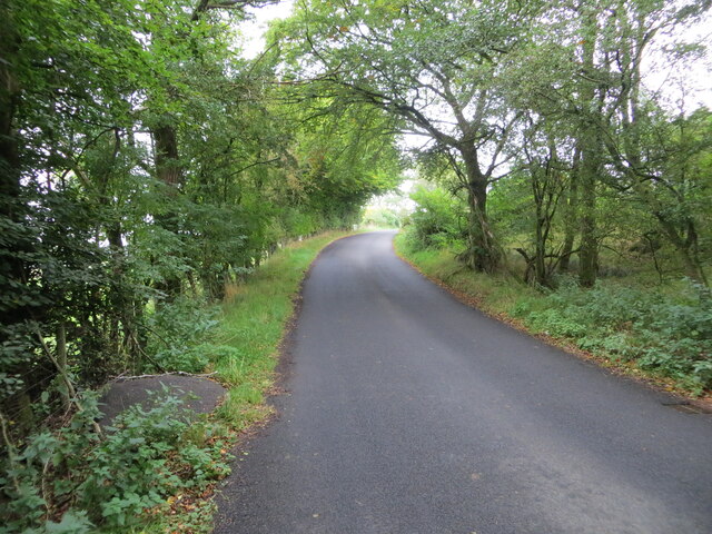
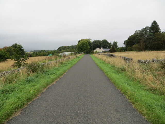
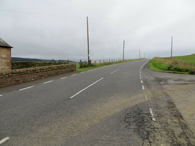
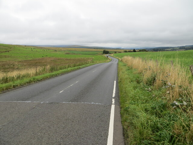
Cart Pool Images

Images are sourced within 2km of 55.112579/-2.8450819 or Grid Reference NY4680. Thanks to Geograph Open Source API. All images are credited.

Tree-lined minor road between Stonegarthside and Hirsthead Looking south-westward.
Tree-lined minor road between Stonegarthside and Hirsthead
Looking south-westward.
Tree-lined minor road approaching Stonegarthside Looking north-eastward.
Tree-lined minor road approaching Stonegarthside
Looking north-eastward.
Minor road approaching Longcleughside Looking north-eastward.
Minor road approaching Longcleughside
Looking north-eastward.
Road (B6357) at Dinwoodie, Greena Hill Looking south-westward.
Road (B6357) at Dinwoodie, Greena Hill
Looking south-westward.
Road (B6357) near Dinwoodie, Greena Hill Looking north-eastward.
Road (B6357) near Dinwoodie, Greena Hill
Looking north-eastward.
B6357 near Ryeleahead
Minor road at Stoneygate Looking north-eastward.
Minor road at Stoneygate
Looking north-eastward.
Minor road at Nookfoot Farm Looking north-westward.
Minor road at Nookfoot Farm
Looking north-westward.
Hedge-lined minor road near to Nookgate Looking south-westward.
Hedge-lined minor road near to Nookgate
Looking south-westward.
Junction of minor roads at Nookgate Looking northward.
Junction of minor roads at Nookgate
Looking northward.
Forest track that gives access to Stone Chair Looking north-westward.
Forest track that gives access to Stone Chair
Looking north-westward.
Ordnance Survey Cut Mark This mark can be found on the corner of a roadside wall at Stonygate.
The recorded details give a height of 124.142 metres above sea level.
For more details see : <span class="nowrap"><a title="https://www.bench-marks.org.uk/bm164656" rel="nofollow ugc noopener" href="https://www.bench-marks.org.uk/bm164656">Link</a><img style="margin-left:2px;" alt="External link" title="External link - shift click to open in new window" src="https://s1.geograph.org.uk/img/external.png" width="10" height="10"/></span>
Ordnance Survey Cut Mark
This mark can be found on the corner of a roadside wall at Stonygate. The recorded details give a height of 124.142 metres above sea level. For more details see : LinkExternal link
Ordnance Survey Cut Mark This mark can be found on the wall of Nookhead Cottage, Nookfoot.
The mark has a recorded height of 521.2 feet above sea level.
For more details see : <span class="nowrap"><a title="https://www.bench-marks.org.uk/bm164657" rel="nofollow ugc noopener" href="https://www.bench-marks.org.uk/bm164657">Link</a><img style="margin-left:2px;" alt="External link" title="External link - shift click to open in new window" src="https://s1.geograph.org.uk/img/external.png" width="10" height="10"/></span>
Ordnance Survey Cut Mark
This mark can be found on the wall of Nookhead Cottage, Nookfoot. The mark has a recorded height of 521.2 feet above sea level. For more details see : LinkExternal link
Greena Quarry Greena Quarry at Greena Hill.
Greena Quarry
Greena Quarry at Greena Hill.
Ryeleahead Ryeleahead on the B6357 beneath Greena Hill.
Ryeleahead
Ryeleahead on the B6357 beneath Greena Hill.
B6357 by Caulside
B6357 by Caulside
B6357 approaching Dinwoodie
Show me another place!

Cart Pool is located at Grid Ref: NY4680 (Lat: 55.112579, Lng: -2.8450819)

Unitary Authority: The Scottish Borders

Police Authority: The Lothians and Scottish Borders

What 3 Words

///safari.storm.newer. Near Langholm, Dumfries & Galloway

Related Wikis

Nearby Amenities

Located within 500m of 55.112579,-2.8450819
The data included in this document is from www.openstreetmap.org. The data is made available under ODbL.

Have you been to Cart Pool?

Leave your review of Cart Pool below (or comments, questions and feedback).