Marl Loch
Lake, Pool, Pond, Freshwater Marsh in East Lothian
Scotland
Marl Loch
Marl Loch, located in East Lothian, Scotland, is a serene freshwater marsh that spans an area of approximately 10 acres. Nestled amidst picturesque surroundings, this enchanting body of water is a popular spot for both locals and tourists seeking tranquility and natural beauty.
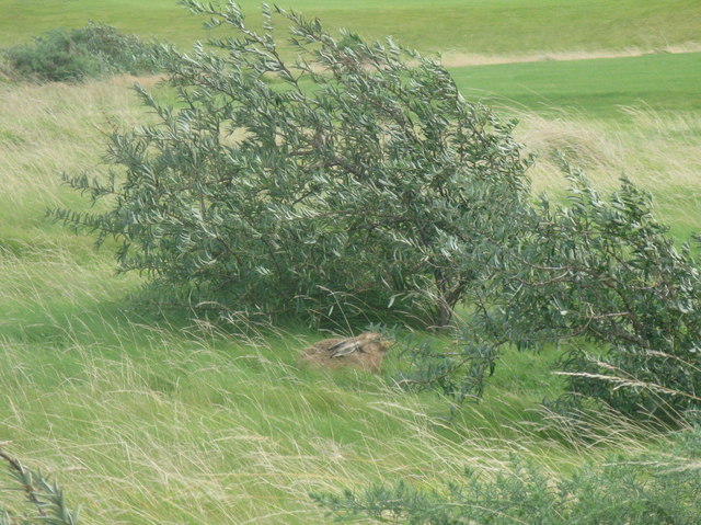
The loch is characterized by its calm and clear waters, which are sourced from nearby streams and rainfall. Its relatively shallow depth, averaging around 5 feet, makes it an ideal habitat for a diverse range of aquatic plants and wildlife. The marshy vegetation surrounding the loch includes reeds, sedges, and rushes, providing a perfect breeding ground for various species of birds, insects, and amphibians.
Marl Loch is renowned for its rich biodiversity. During the summer months, visitors can witness an array of vibrant wildflowers, such as yellow flag iris and water lilies, dotting the surface of the water. These blooms not only add a touch of color to the landscape but also attract butterflies and bees.
The loch is a haven for birdwatchers, with numerous species of waterfowl and wading birds frequenting its shores. Common sightings include mallards, coots, moorhens, and great crested grebes. The surrounding woodlands also attract woodland birds such as blue tits and great tits.
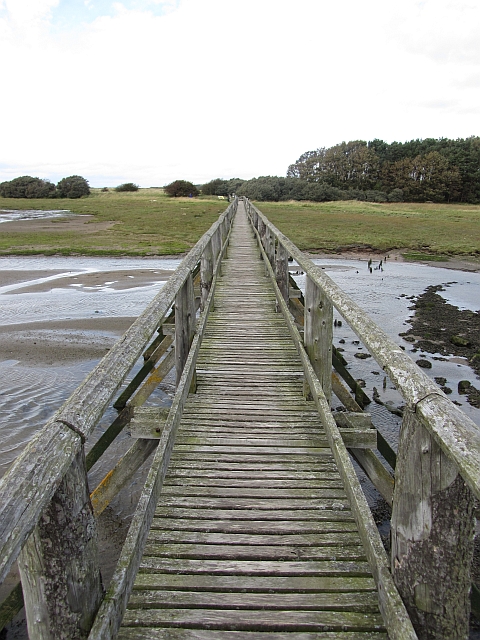
Nature enthusiasts can explore Marl Loch through a network of well-maintained footpaths, offering stunning views of the surrounding countryside. The tranquil atmosphere and abundant wildlife make it an idyllic spot for picnics, photography, or simply unwinding amidst nature's beauty.
Overall, Marl Loch is a captivating freshwater marsh that offers a peaceful retreat for visitors, showcasing the wonders of East Lothian's natural landscape.
If you have any feedback on the listing, please let us know in the comments section below.
Marl Loch Images
Images are sourced within 2km of 56.019137/-2.8563558 or Grid Reference NT4681. Thanks to Geograph Open Source API. All images are credited.
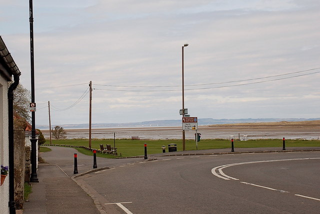
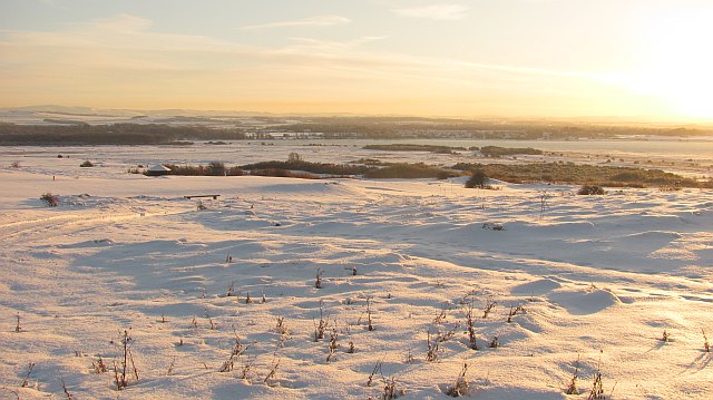
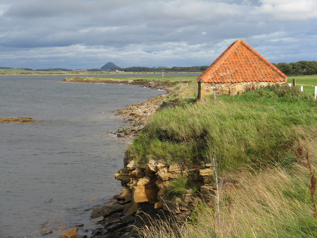
![Foreshore at Kilspindie Looking to Aberlady Bay [tide in] from the edge of Kilspindie Golf Course.](https://s2.geograph.org.uk/geophotos/02/59/68/2596854_0411c1be.jpg)
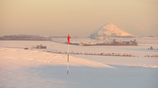
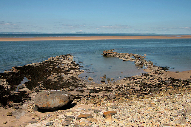
![Aberlady Bay from Kilspindie Looking east towards North Berwick Law [11km away].](https://s3.geograph.org.uk/geophotos/02/59/68/2596879_4918f7a9.jpg)
Marl Loch is located at Grid Ref: NT4681 (Lat: 56.019137, Lng: -2.8563558)
Unitary Authority: East Lothian
Police Authority: The Lothians and Scottish Borders
What 3 Words
///skillet.reds.epidemics. Near Aberlady, East Lothian
Nearby Locations
Related Wikis

Luffness Castle
Luffness Castle, also known as Luffness House, is a house built in a former fortification near the village of Aberlady, East Lothian, Scotland. ��2�...
Aberlady
Aberlady (Scots: Aiberleddy, Gaelic: Obar Lobhaite) is a coastal village in the Scottish council area of East Lothian. The village had an estimated population...

Aberlady Bay
Aberlady Bay in East Lothian, Scotland lies between Aberlady and Gullane. In 1952, Aberlady Bay became the UK's first Local Nature Reserve (LNR) and is...

Kilspindie Castle
Kilspindie Castle lies north of the village of Aberlady, in East Lothian, Scotland; the remains of the castle are behind the Victorian St Mary's Kirk....
Nearby Amenities
Located within 500m of 56.019137,-2.8563558Have you been to Marl Loch?
Leave your review of Marl Loch below (or comments, questions and feedback).