Addington, Great
Settlement in Northamptonshire
England
Addington, Great

Addington is a small village located in the district of Great Addington, in the county of Northamptonshire, England. Situated approximately 8 miles east of the town of Kettering, Addington is surrounded by picturesque countryside and offers a peaceful and rural environment.
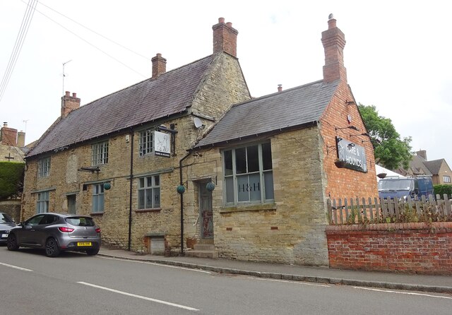
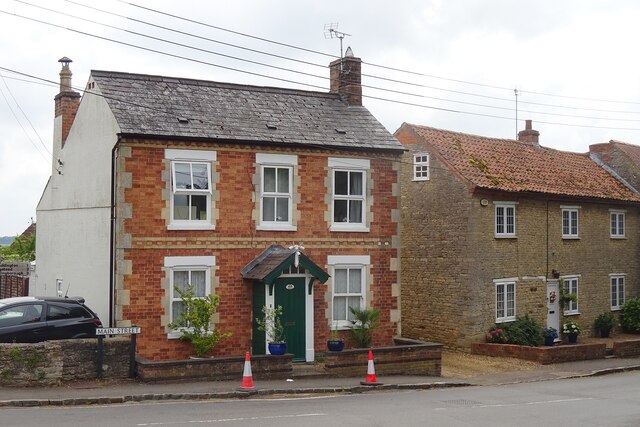
The village is home to a close-knit community and has a population of around 350 residents. The settlement dates back to medieval times and is mentioned in the Domesday Book of 1086. Its long history is reflected in the charming architecture of the village, with several traditional stone cottages and buildings still standing today.
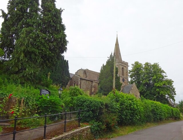
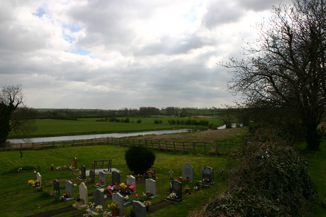
Addington is served by a local primary school, providing education for children within the village and nearby areas. The village also boasts a beautiful church, St. Mary's, which dates back to the 12th century. The church features stunning stained glass windows and is a popular destination for visitors interested in historical and architectural heritage.
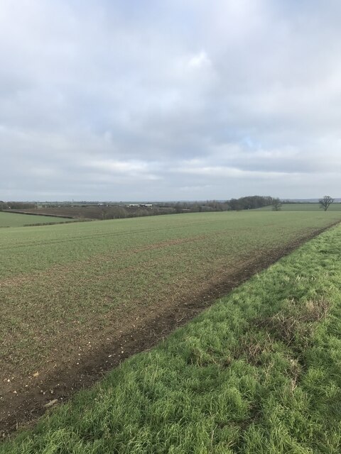
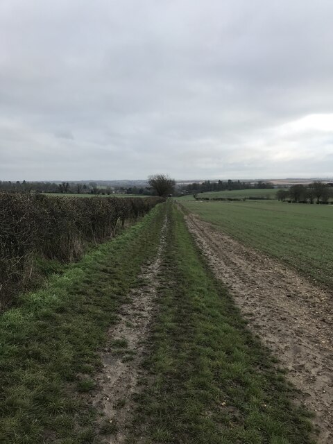
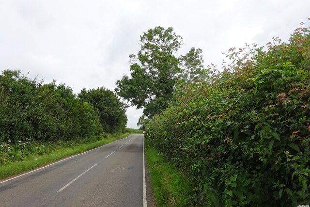
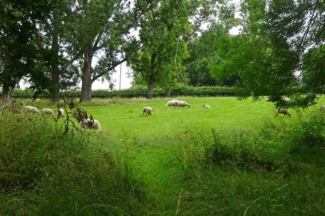
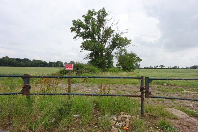
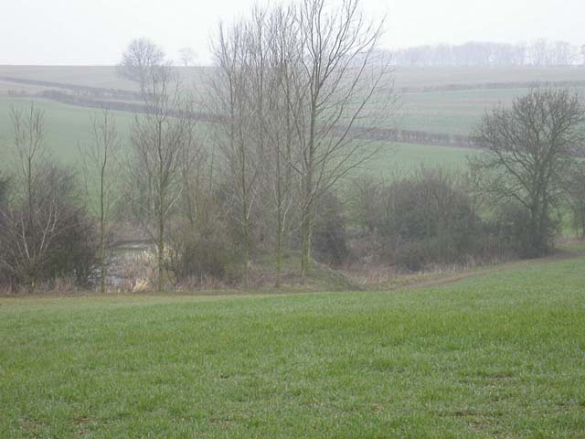
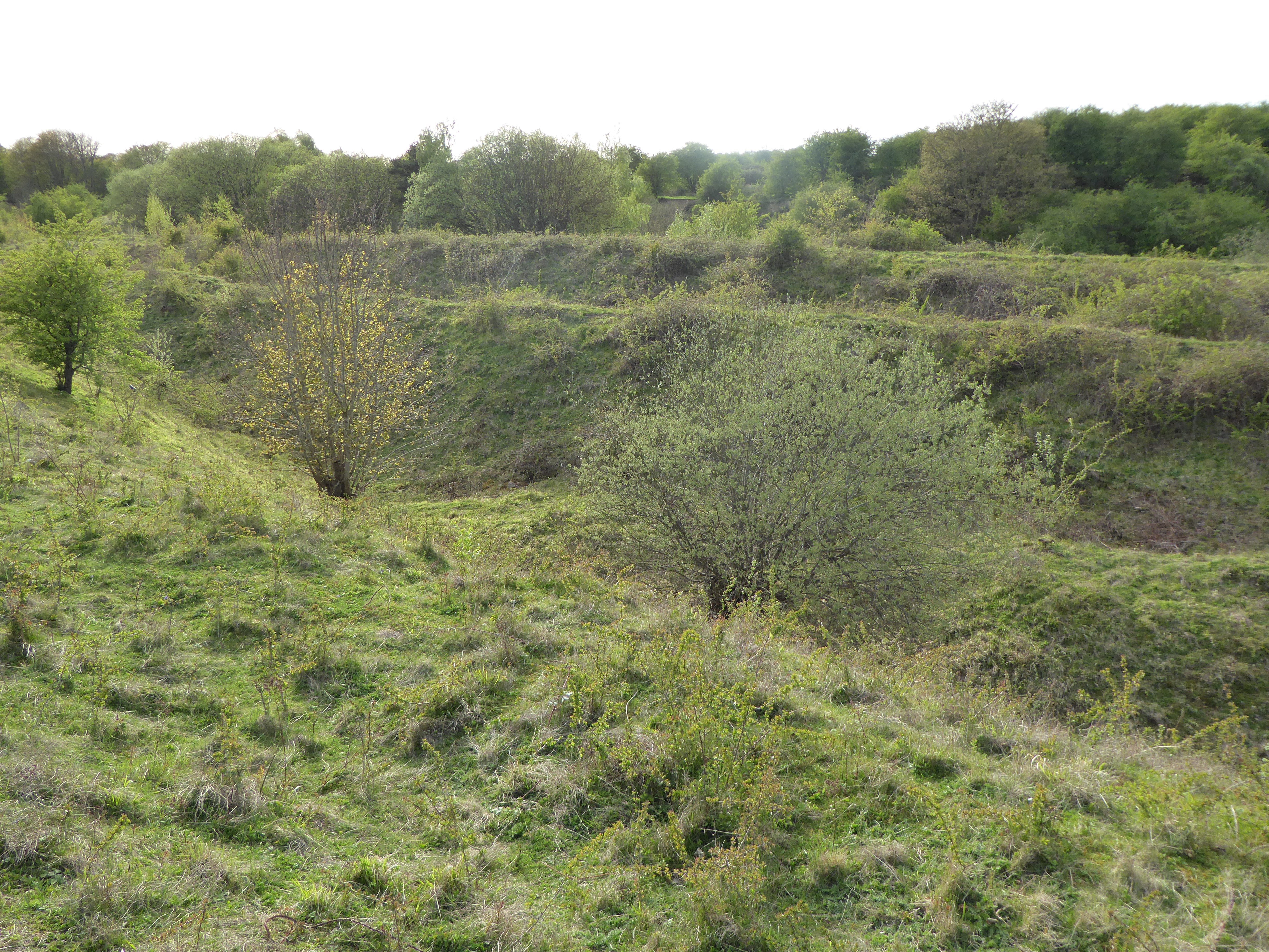
For recreational activities, residents and visitors can enjoy the scenic countryside surrounding Addington, which offers opportunities for walking, cycling, and exploring nature. The village is also close to several country parks and nature reserves, providing additional options for outdoor enthusiasts.
Although Addington may be small in size, it offers a peaceful and idyllic lifestyle, making it an attractive place to live for those seeking a rural retreat. Its rich history, community spirit, and proximity to beautiful countryside make Addington a hidden gem in Northamptonshire.
If you have any feedback on the listing, please let us know in the comments section below.
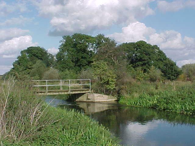
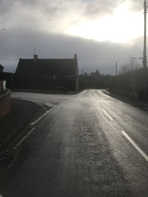
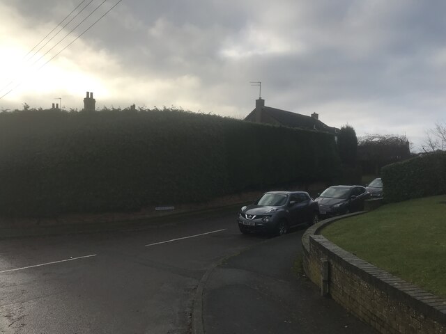
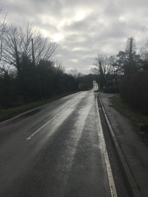
Addington, Great Images
Images are sourced within 2km of 52.36418/-0.592423 or Grid Reference SP9574. Thanks to Geograph Open Source API. All images are credited.


Addington, Great is located at Grid Ref: SP9574 (Lat: 52.36418, Lng: -0.592423)
Unitary Authority: North Northamptonshire
Police Authority: Northamptonshire
What 3 Words
///torched.middle.maddening. Near Woodford, Northamptonshire
Nearby Locations
Related Wikis

Great Addington
Great Addington is a small village and civil parish in Northamptonshire, England. It lies near the west bank of the River Nene, about 5 miles (8 km) east...

Ringstead and Addington railway station
Ringstead and Addington railway station was a railway station serving Great and Little Addington and Ringstead in Northamptonshire on the former Northampton...
Little Addington
Little Addington is a village and civil parish in North Northamptonshire, England, about 8 miles (13 km) south-east of Kettering. At the time of the 2011...

Kinewell Lake
Kinewell Lake is a 35.4 hectare Local Nature Reserve west of Ringstead in Northamptonshire, England. It is owned by Ringstead Parish Council and managed...

Woodford, Northamptonshire
Woodford is a large village and civil parish located in North Northamptonshire, England. At the time of the 2011 census, the parish's population (including...

Ringstead, Northamptonshire
Ringstead is a village and civil parish in Northamptonshire, England, forming part of North Northamptonshire. It is located approximately 15 miles north...
Woodwell
Woodwell is a hamlet in the English county of Northamptonshire, about a mile west of the village of Woodford. It is at the end of a cul-de-sac lane....
Twywell Gullet
Twywell Gullet is a 17.1-hectare (42-acre) biological Site of Special Scientific Interest east of Kettering in Northamptonshire. It is part of the 54.6...
Nearby Amenities
Located within 500m of 52.36418,-0.592423Have you been to Addington, Great?
Leave your review of Addington, Great below (or comments, questions and feedback).