Great Abington

Settlement in Cambridgeshire South Cambridgeshire

England

Great Abington

Great Abington, St Mary <span class="nowrap"><a title="http://www.druidic.org/camchurch/churches/gtabington.htm" rel="nofollow ugc noopener" href="http://www.druidic.org/camchurch/churches/gtabington.htm">Link</a><img style="margin-left:2px;" alt="External link" title="External link - shift click to open in new window" src="https://s1.geograph.org.uk/img/external.png" width="10" height="10"/></span>
Great Abington, St Mary Credit: mym

Great Abington is a small village located in the county of Cambridgeshire, England. Situated approximately 8 miles southeast of the city of Cambridge, it falls under the administrative district of South Cambridgeshire.

The village is surrounded by picturesque countryside, with rolling hills and charming rural landscapes. It has a population of around 1,500 residents, creating a close-knit community atmosphere. Great Abington is known for its peaceful and idyllic setting, making it an attractive place for those seeking a quieter lifestyle.

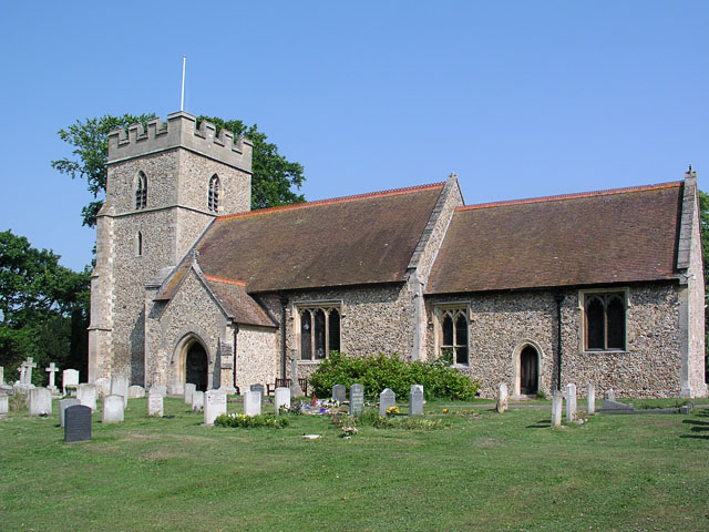
The village is rich in history, with records dating back to the 11th century. It is home to several historic buildings, including the Grade II listed St. Mary's Church, which dates back to the 13th century. Other notable landmarks include the old village school and the Abington Institute, a community center offering various activities and events.

Great Abington offers a range of amenities and services to its residents. These include a village shop, a post office, a primary school, and a pub, providing essential facilities within walking distance. The village is well-connected to nearby towns and cities, with regular bus services and easy access to major road networks.

The surrounding area offers ample opportunities for outdoor activities, with numerous walking and cycling routes. Great Abington is also conveniently located near the world-renowned University of Cambridge, providing access to cultural and educational attractions.

Overall, Great Abington is a charming village with a strong sense of community, offering residents a peaceful and picturesque place to call home.

If you have any feedback on the listing, please let us know in the comments section below.

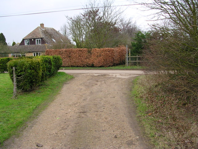
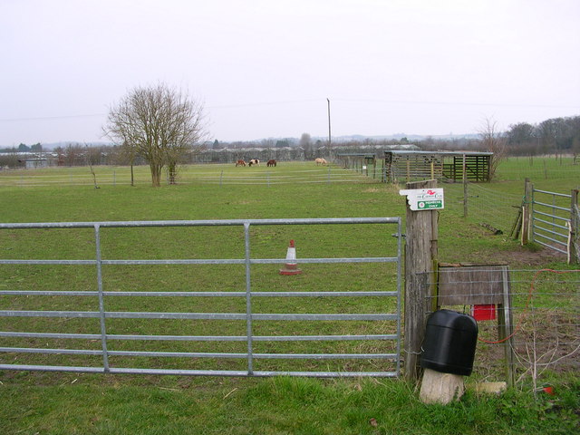
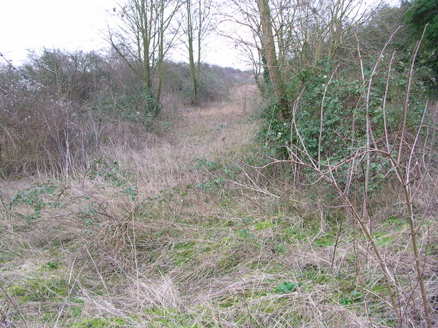
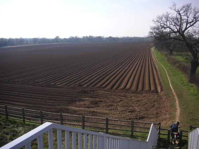
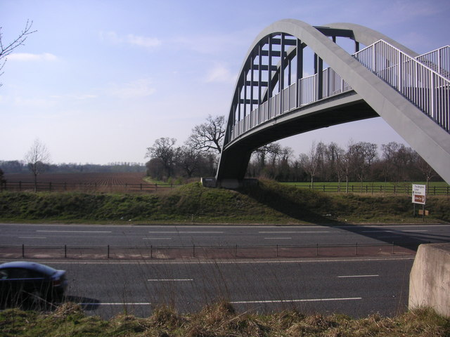
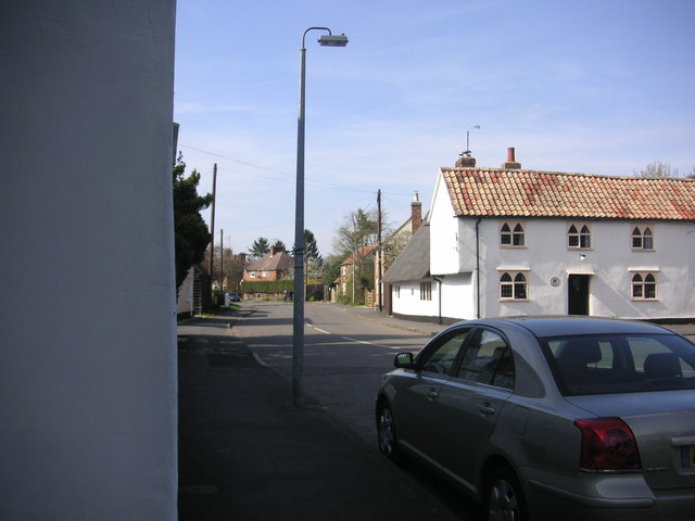
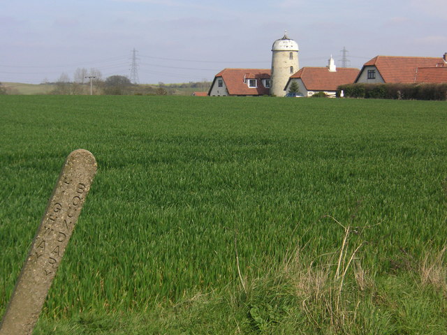
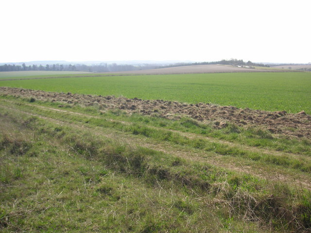
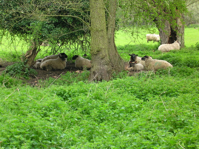
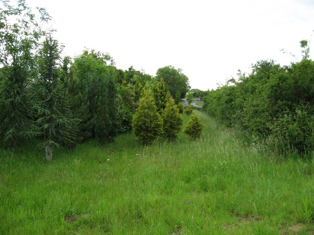
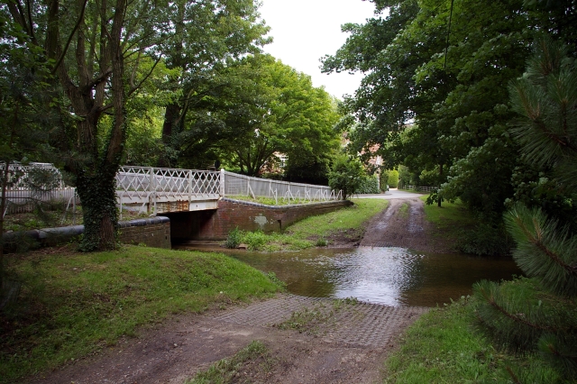
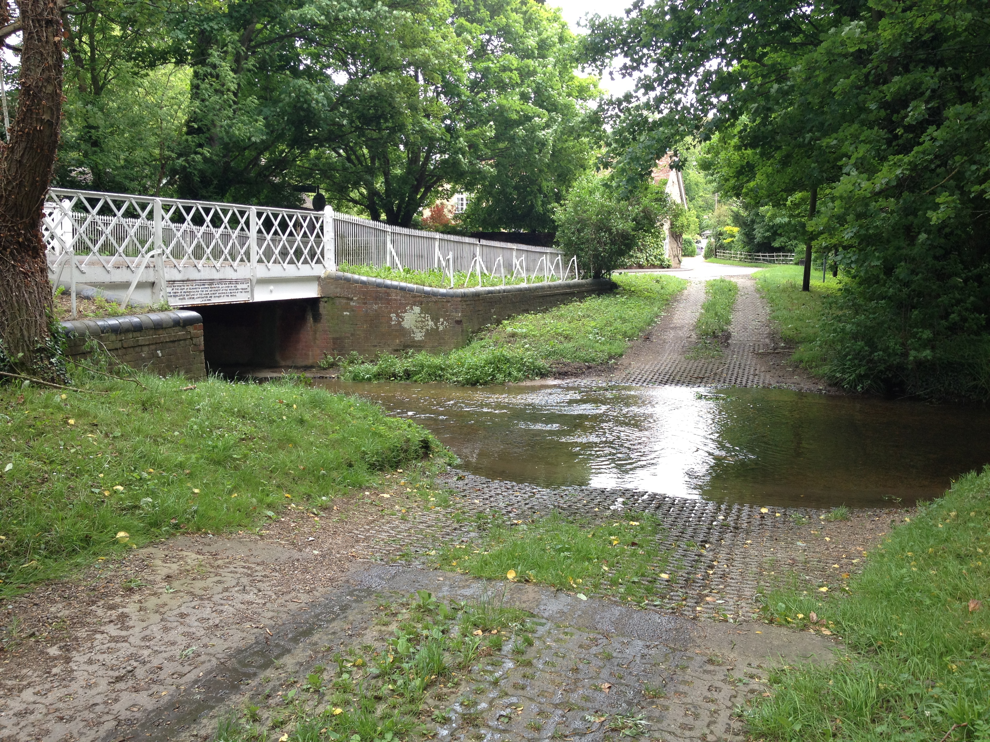
Great Abington Images

Images are sourced within 2km of 52.1146/0.237 or Grid Reference TL5348. Thanks to Geograph Open Source API. All images are credited.

Great Abington, St Mary <span class="nowrap"><a title="http://www.druidic.org/camchurch/churches/gtabington.htm" rel="nofollow ugc noopener" href="http://www.druidic.org/camchurch/churches/gtabington.htm">Link</a><img style="margin-left:2px;" alt="External link" title="External link - shift click to open in new window" src="https://s1.geograph.org.uk/img/external.png" width="10" height="10"/></span>
Great Abington, St Mary
Little Abington, St Mary <span class="nowrap"><a title="http://www.druidic.org/camchurch/churches/ltabington.htm" rel="nofollow ugc noopener" href="http://www.druidic.org/camchurch/churches/ltabington.htm">Link</a><img style="margin-left:2px;" alt="External link" title="External link - shift click to open in new window" src="https://s1.geograph.org.uk/img/external.png" width="10" height="10"/></span>
Little Abington, St Mary
Great Abington High Street A view of the three tuns pub from outside Abington school.
Great Abington High Street
A view of the three tuns pub from outside Abington school.
Hildersham Ford
Hildersham Ford
Abington Social Club, Great Abington, Cambs.
Furze Hill Look but no touch!
The site holds fragments of grassland characteristic of the Breckland of East Anglia holding both acidic
and calcareous components. This is a rare example of sandy habitat in the county and represents a south-
western outlier of the Suffolk Breckland.
<span class="nowrap"><a title="http://www.english-nature.org.uk/citation/citation_photo/1001115.pdf" rel="nofollow ugc noopener" href="http://www.english-nature.org.uk/citation/citation_photo/1001115.pdf">Link</a><img style="margin-left:2px;" alt="External link" title="External link - shift click to open in new window" src="https://s1.geograph.org.uk/img/external.png" width="10" height="10"/></span>
Furze Hill
Look but no touch! The site holds fragments of grassland characteristic of the Breckland of East Anglia holding both acidic and calcareous components. This is a rare example of sandy habitat in the county and represents a south- western outlier of the Suffolk Breckland. LinkExternal link
Cross path coming from Brent Ditch Looked just like a ditch in America.
Cross path coming from Brent Ditch
Looked just like a ditch in America.
Caravan parking and lodging for ponies.
Dismantled railway
Dismantled railway
Two Acre Plantation Two Acre Plantation viewed from footbridge over A11
Two Acre Plantation
Two Acre Plantation viewed from footbridge over A11
Little Abington The building bordering the image to the left is the Little Abington Pottery.
Little Abington
The building bordering the image to the left is the Little Abington Pottery.
Disused Mill Disused mill near Hildersham, viewed from A1307
Disused Mill
Disused mill near Hildersham, viewed from A1307
Bridleway between Roman Road and Hildersham Bridleway leading from Roman Road to Hildersham. On the small hill in the right half of the image you can see farm equipment supposedly belonging to the rectory farm.
Bridleway between Roman Road and Hildersham
Bridleway leading from Roman Road to Hildersham. On the small hill in the right half of the image you can see farm equipment supposedly belonging to the rectory farm.
Sheep dip path Go to ford and dip again
Sheep dip path
Go to ford and dip again
Course of old railway Course of the old Cambridge to Haverhill railway line (part of the 'Stour Valley Line') near Pampisford. The site of Pampisford station is now lost under the widened A11 trunk road.
Course of old railway
Course of the old Cambridge to Haverhill railway line (part of the 'Stour Valley Line') near Pampisford. The site of Pampisford station is now lost under the widened A11 trunk road.
Hildersham Ford and Bridge, River Granta The village ford is now by-passed by a road bridge.
Hildersham Ford and Bridge, River Granta
The village ford is now by-passed by a road bridge.
Village Sign
Village Sign
Show me another place!

Great Abington is located at Grid Ref: TL5348 (Lat: 52.1146, Lng: 0.237)

Administrative County: Cambridgeshire

District: South Cambridgeshire

Police Authority: Cambridgeshire

What 3 Words

///eggs.tango.covenants. Near Linton, Cambridgeshire

Related Wikis

The Abingtons, Cambridgeshire

The Abingtons are a community in South Cambridgeshire consisting of two small villages: Little Abington and Great Abington, about 7 miles (11 km) south...

Granta Park

Granta Park is a science, technology and biopharmaceutical park based on the bank of the River Granta in Great Abington near Cambridge, England. The idea...

Alder Carr, Hildersham

Alder Carr is a 6.7-hectare biological Site of Special Scientific Interest in Hildersham in Cambridgeshire.The site is a wet valley which has alder on...

Hildersham

Hildersham is a small village 8 miles to the south-east of Cambridge, England. It is situated just off the A1307 between Linton and Great Abington on a...

Bourne Bridge railway station

Bourne Bridge railway station served Little Abington, Great Abington, Pampisford and Babraham in Cambridgeshire. It was closed in 1851, along with its...

Pampisford railway station

Pampisford railway station is a former British railway station in Pampisford, Cambridgeshire. It was on the Stour Valley Railway from 1865 to its closure...

Abington railway station (England)

Abington railway station served Little Abington, Great Abington and Babraham in Cambridgeshire. It closed in 1851, along with its line which was one of...

Furze Hill SSSI

Furze Hill is a 5.8-hectare (14-acre) biological Site of Special Scientific Interest in three nearby areas east of Hildersham in Cambridgeshire.The site...

Nearby Amenities

Located within 500m of 52.1146,0.237
Pub
Three Tuns
Cuisine: thai
Food: yes
Wikidata: Q26420600
Lat/Long: 52.1167337/0.2388543
Post Office
Abington Post Office
Addr Postcode: CB21 6AB
Branch: Abington
Brand: Post Office
Brand Wikidata: Q1783168
Check Date: 2020-02-20
Contact Website: https://www.postoffice.co.uk/branch-finder/0511137/abington
Ref Pol Id: 68
Lat/Long: 52.1163242/0.238054
Great Abington
Is In: Cambridgeshire,Cambridge,UK
Place: village
Population: 860
Source Name: local knowledge
Source Population: http://www.scambs.gov.uk/CommunityandLiving/VillageServicesAndAmenities/
Wikidata: Q2183472
Lat/Long: 52.1152817/0.2367961
Bus Stop
Linton Road
Alt Name: Great Abington Primary School
Naptan AltCommonName: Great Abington Primary School
Naptan AtcoCode: 0500SGREA001
Naptan Bearing: NE
Naptan CommonName: Linton Road
Naptan Indicator: opp
Naptan Landmark: Linton Road
Naptan NaptanCode: cmbdwmad
Naptan Street: High Street
Naptan Verified: no
Source: naptan_import
Lat/Long: 52.1160215/0.2371959
Bus Stop
Linton Road
Alt Name: opp Great Abington Primary School
Naptan AltCommonName: opp Great Abington Primary School
Naptan AtcoCode: 0500SGREA002
Naptan Bearing: SW
Naptan CommonName: Linton Road
Naptan Indicator: near
Naptan Landmark: Linton Road
Naptan NaptanCode: cmbdwmag
Naptan Street: High Street
Naptan Verified: no
Source: naptan_import
Lat/Long: 52.1159477/0.2372944
Bus Stop
Magna Close
Naptan AtcoCode: 0500SGREA003
Naptan Bearing: N
Naptan CommonName: Magna Close
Naptan Indicator: opp
Naptan Landmark: Magna Close
Naptan NaptanCode: cmbdwmaj
Naptan Street: High Street
Naptan Verified: no
Shelter: yes
Source: naptan_import
Lat/Long: 52.1137795/0.2354242
Bus Stop
Magna Close
Naptan AtcoCode: 0500SGREA004
Naptan Bearing: S
Naptan CommonName: Magna Close
Naptan Indicator: near
Naptan Landmark: Magna Close
Naptan NaptanCode: cmbdwmam
Naptan Street: High Street
Naptan Verified: no
Shelter: no
Source: naptan_import
Lat/Long: 52.1139475/0.2356022
Bus Stop
High Street
Naptan AtcoCode: 0500SGREA005
Naptan Bearing: NW
Naptan CommonName: High Street
Naptan Indicator: opp
Naptan Landmark: High Street
Naptan NaptanCode: cmbdwmap
Naptan Street: Pampisford Road
Naptan Verified: no
Shelter: yes
Source: naptan_import
Lat/Long: 52.1102405/0.2352414
Bus Stop
High Street
Naptan AtcoCode: 0500SGREA013
Naptan Bearing: E
Naptan BusStopType: CUS
Naptan CommonName: High Street
Naptan Indicator: near
Naptan Landmark: High Street
Naptan NaptanCode: cmbdwmdt
Naptan Street: Pampisford Road
Naptan Verified: no
Shelter: no
Source: naptan_import
Lat/Long: 52.1103747/0.2352773
Post Box
Collection Times: Mo-Fr 09:00; Sa 07:00
Operator: Royal Mail
Post Box Type: lamp
Ref: CB21 203
Royal Cypher: EIIR
Royal Cypher Wikidata: Q33102113
Source: survey
Lat/Long: 52.1102792/0.2351319
Post Box
Collection Times: Mo-Fr 09:00; Sa 07:00
Operator: Royal Mail
Post Box Design: type_c
Post Box Type: pillar
Ref: CB21 201
Royal Cypher: EIIR
Royal Cypher Wikidata: Q33102113
Source: survey
Lat/Long: 52.1164207/0.2381683
Power: pole
Lat/Long: 52.1129395/0.239006
Power: pole
Lat/Long: 52.1119496/0.241235
Power: pole
Lat/Long: 52.1124339/0.2401192
Power: pole
Lat/Long: 52.1131307/0.2385608
Power: pole
Lat/Long: 52.1114884/0.2422543
Internet Access: yes
Internet Access Fee: no
Operator: The Three Tuns
Tourism: guest_house
Lat/Long: 52.116475/0.2389052
Defibrillator
Emergency: defibrillator
Lat/Long: 52.1166865/0.2383967
Bench
Backrest: yes
Material: wood
Lat/Long: 52.1185116/0.2388522
Generator Method: photovoltaic
Generator Output Electricity: yes
Generator Source: solar
Generator Type: solar_photovoltaic_panel
Location: roof
Power: generator
Lat/Long: 52.115593/0.2374801
Generator Method: photovoltaic
Generator Output Electricity: yes
Generator Source: solar
Generator Type: solar_photovoltaic_panel
Location: roof
Power: generator
Lat/Long: 52.115467/0.2380729
Generator Method: photovoltaic
Generator Output Electricity: yes
Generator Source: solar
Generator Type: solar_photovoltaic_panel
Location: roof
Power: generator
Lat/Long: 52.1154909/0.2380112
Generator Method: photovoltaic
Generator Output Electricity: yes
Generator Source: solar
Generator Type: solar_photovoltaic_panel
Location: roof
Power: generator
Lat/Long: 52.1155131/0.2379522
Generator Method: photovoltaic
Generator Output Electricity: yes
Generator Source: solar
Generator Type: solar_photovoltaic_panel
Location: roof
Power: generator
Lat/Long: 52.1154604/0.2378127
Generator Method: photovoltaic
Generator Output Electricity: yes
Generator Source: solar
Generator Type: solar_photovoltaic_panel
Location: roof
Power: generator
Lat/Long: 52.1155024/0.237873
Generator Method: photovoltaic
Generator Output Electricity: yes
Generator Source: solar
Generator Type: solar_photovoltaic_panel
Location: roof
Power: generator
Lat/Long: 52.1157972/0.2382043
Generator Method: photovoltaic
Generator Output Electricity: yes
Generator Source: solar
Generator Type: solar_photovoltaic_panel
Location: roof
Power: generator
Lat/Long: 52.1148872/0.2379844
Generator Method: photovoltaic
Generator Output Electricity: yes
Generator Source: solar
Generator Type: solar_photovoltaic_panel
Location: roof
Power: generator
Lat/Long: 52.1149589/0.2380608
Generator Method: photovoltaic
Generator Output Electricity: yes
Generator Source: solar
Generator Type: solar_photovoltaic_panel
Location: roof
Power: generator
Lat/Long: 52.1123383/0.2350071
Generator Method: photovoltaic
Generator Output Electricity: yes
Generator Source: solar
Generator Type: solar_photovoltaic_panel
Location: roof
Power: generator
Lat/Long: 52.112433/0.2360344
Generator Method: photovoltaic
Generator Output Electricity: yes
Generator Source: solar
Generator Type: solar_photovoltaic_panel
Location: roof
Power: generator
Lat/Long: 52.1126982/0.2372655
Generator Method: photovoltaic
Generator Output Electricity: yes
Generator Source: solar
Generator Type: solar_photovoltaic_panel
Location: roof
Power: generator
Lat/Long: 52.1127212/0.2371743
Generator Method: photovoltaic
Generator Output Electricity: yes
Generator Source: solar
Generator Type: solar_photovoltaic_panel
Location: roof
Power: generator
Lat/Long: 52.112769/0.2368297
Generator Method: photovoltaic
Generator Output Electricity: yes
Generator Source: solar
Generator Type: solar_photovoltaic_panel
Location: roof
Power: generator
Lat/Long: 52.1136716/0.2383907
Generator Method: photovoltaic
Generator Output Electricity: yes
Generator Source: solar
Generator Type: solar_photovoltaic_panel
Location: roof
Power: generator
Lat/Long: 52.1136741/0.2383102
Generator Method: photovoltaic
Generator Output Electricity: yes
Generator Source: solar
Generator Type: solar_photovoltaic_panel
Location: roof
Power: generator
Lat/Long: 52.113427/0.2370925
Generator Method: photovoltaic
Generator Output Electricity: yes
Generator Source: solar
Generator Type: solar_photovoltaic_panel
Location: roof
Power: generator
Lat/Long: 52.113469/0.2369007
Generator Method: photovoltaic
Generator Output Electricity: yes
Generator Source: solar
Generator Type: solar_photovoltaic_panel
Location: roof
Power: generator
Lat/Long: 52.1138594/0.236776
Generator Method: photovoltaic
Generator Output Electricity: yes
Generator Source: solar
Generator Type: solar_photovoltaic_panel
Location: roof
Power: generator
Lat/Long: 52.1138693/0.2366634
Generator Method: photovoltaic
Generator Output Electricity: yes
Generator Source: solar
Generator Type: solar_photovoltaic_panel
Location: roof
Power: generator
Lat/Long: 52.1138825/0.2364649
Generator Method: photovoltaic
Generator Output Electricity: yes
Generator Source: solar
Generator Type: solar_photovoltaic_panel
Location: roof
Power: generator
Lat/Long: 52.1141378/0.2365507
Generator Method: photovoltaic
Generator Output Electricity: yes
Generator Source: solar
Generator Type: solar_photovoltaic_panel
Location: roof
Power: generator
Lat/Long: 52.1144491/0.2377215
Generator Method: photovoltaic
Generator Output Electricity: yes
Generator Source: solar
Generator Type: solar_photovoltaic_panel
Location: roof
Power: generator
Lat/Long: 52.1146253/0.2370603
Bench
Backrest: yes
Material: wood
Lat/Long: 52.1168461/0.2342531
Bench
Backrest: yes
Material: wood
Lat/Long: 52.1168791/0.2340661
Bench
Backrest: yes
Material: wood
Lat/Long: 52.1177557/0.2348242
Bench
Backrest: yes
Material: plastic
Lat/Long: 52.1182009/0.2349805
Leisure: picnic_table
Material: plastic
Lat/Long: 52.1182689/0.2356218
Bench
Material: wood
Lat/Long: 52.1180606/0.2361037
Leisure: picnic_table
Material: plastic
Lat/Long: 52.1179037/0.2363896
Bench
Backrest: yes
Material: wood
Lat/Long: 52.1174853/0.2366651
Bench
Backrest: yes
Material: wood
Lat/Long: 52.1174257/0.2368656
Leisure: picnic_table
Material: plastic
Lat/Long: 52.1174183/0.2367625
Waste Basket
Waste: dog_excrement
Lat/Long: 52.1185249/0.2348677
Waste Basket
Waste: dog_excrement
Lat/Long: 52.1168019/0.2347086
The data included in this document is from www.openstreetmap.org. The data is made available under ODbL.

Have you been to Great Abington?

Leave your review of Great Abington below (or comments, questions and feedback).