Round Plantation
Wood, Forest in Cambridgeshire South Cambridgeshire
England
Round Plantation

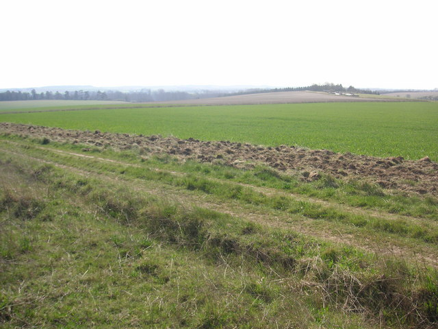
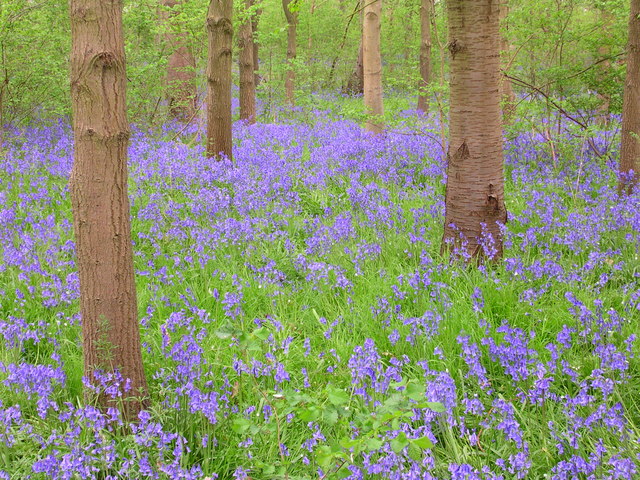
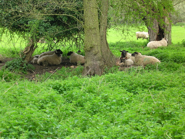
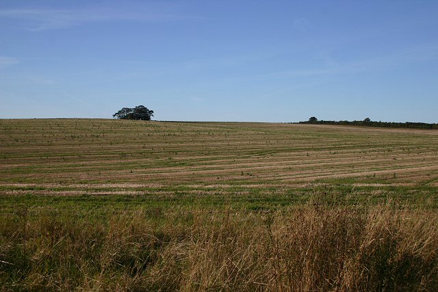
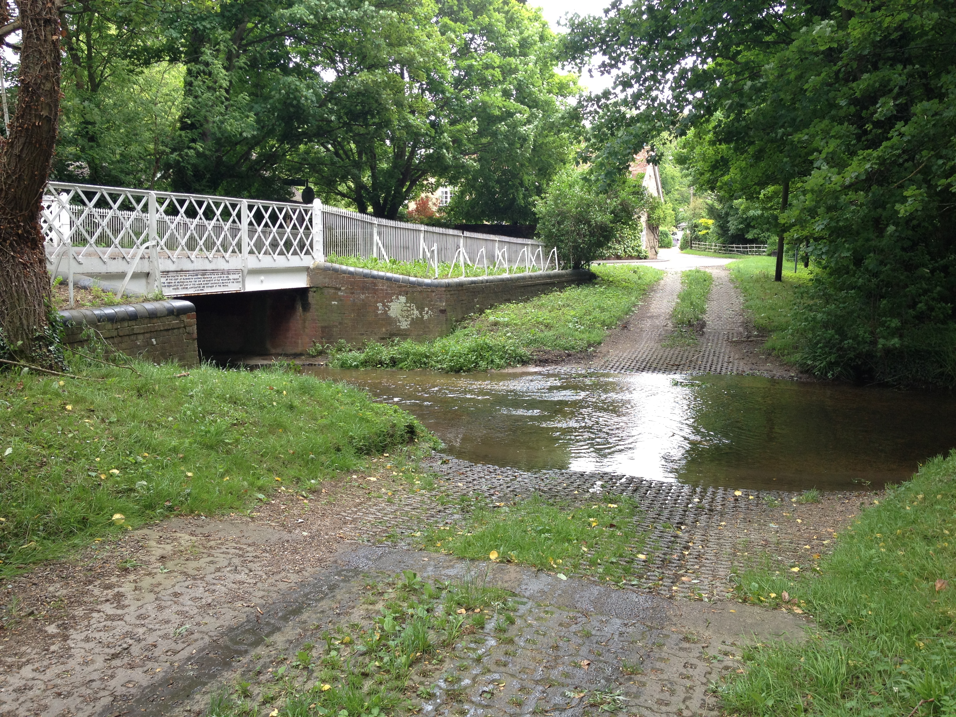
Round Plantation is a woodland area located in Cambridgeshire, England. Spanning across several acres, it is a notable feature of the local landscape and offers a diverse range of flora and fauna to visitors.
The plantation is predominantly made up of deciduous and coniferous trees, creating a mixed woodland environment. It is home to a variety of tree species, including oak, beech, pine, and birch. These trees provide a rich habitat for numerous animal species, such as squirrels, rabbits, and a variety of bird species.
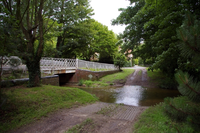
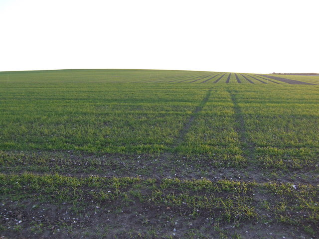
The woodland is crisscrossed by several walking paths, allowing visitors to explore its beauty and tranquility. These paths meander through the plantation, leading visitors through different sections of the woodland and providing opportunities for nature observation and photography.
Round Plantation also serves as a recreational area for locals and visitors alike. The well-maintained paths make it ideal for walking, jogging, and cycling. In addition, there are several picnic areas scattered throughout the woodland, providing a peaceful setting for outdoor gatherings and relaxation.
The plantation is easily accessible, with a parking area available nearby. It is a popular destination for nature enthusiasts, families, and individuals seeking a peaceful retreat from the bustling city life.
Overall, Round Plantation is a charming woodland area in Cambridgeshire, offering a serene escape into nature with its diverse vegetation, wildlife, and recreational opportunities.
If you have any feedback on the listing, please let us know in the comments section below.
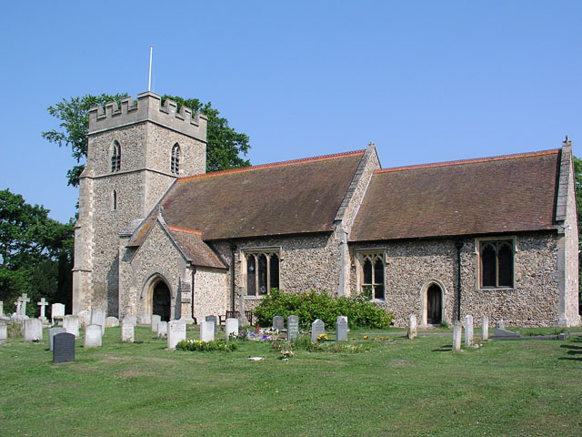
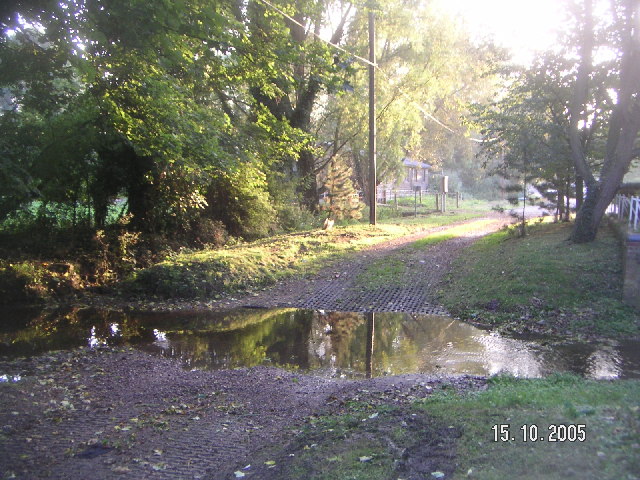
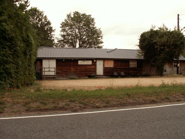
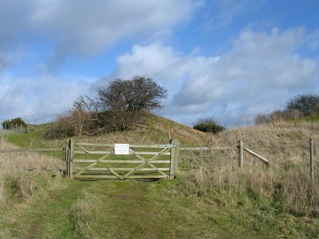
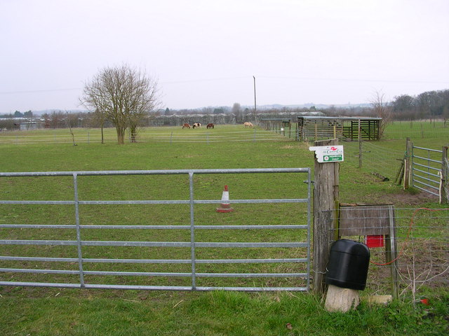
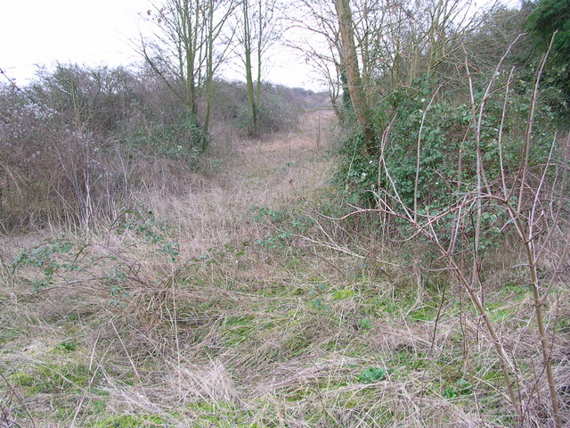
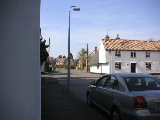
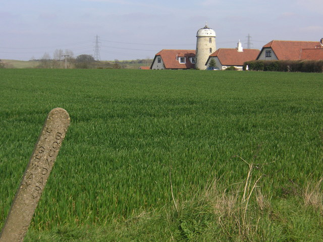
Round Plantation Images
Images are sourced within 2km of 52.113414/0.24496409 or Grid Reference TL5348. Thanks to Geograph Open Source API. All images are credited.

Round Plantation is located at Grid Ref: TL5348 (Lat: 52.113414, Lng: 0.24496409)
Administrative County: Cambridgeshire
District: South Cambridgeshire
Police Authority: Cambridgeshire
What 3 Words
///capacity.many.removers. Near Linton, Cambridgeshire
Nearby Locations
Related Wikis
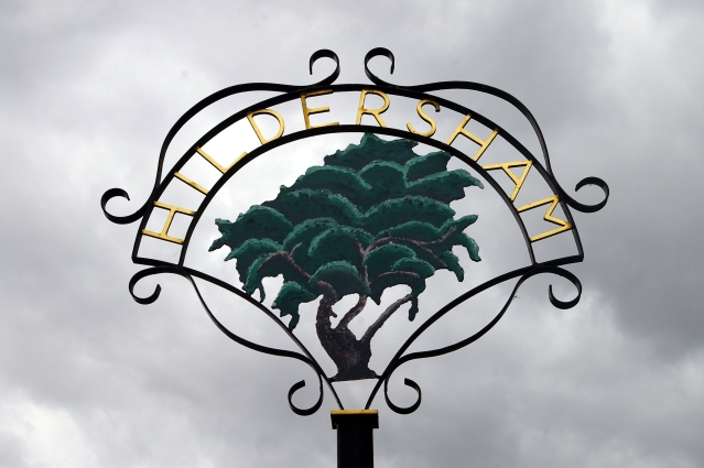
Hildersham
Hildersham is a small village 8 miles to the south-east of Cambridge, England. It is situated just off the A1307 between Linton and Great Abington on a...

Alder Carr, Hildersham
Alder Carr is a 6.7-hectare biological Site of Special Scientific Interest in Hildersham in Cambridgeshire.The site is a wet valley which has alder on...

The Abingtons, Cambridgeshire
The Abingtons are a community in South Cambridgeshire consisting of two small villages: Little Abington and Great Abington, about 7 miles (11 km) south...

Furze Hill SSSI
Furze Hill is a 5.8-hectare (14-acre) biological Site of Special Scientific Interest in three nearby areas east of Hildersham in Cambridgeshire.The site...

Granta Park
Granta Park is a science, technology and biopharmaceutical park based on the bank of the River Granta in Great Abington near Cambridge, England. The idea...

Bourne Bridge railway station
Bourne Bridge railway station served Little Abington, Great Abington, Pampisford and Babraham in Cambridgeshire. It was closed in 1851, along with its...
Pampisford railway station
Pampisford railway station is a former British railway station in Pampisford, Cambridgeshire. It was on the Stour Valley Railway from 1865 to its closure...
Abington railway station (England)
Abington railway station served Little Abington, Great Abington and Babraham in Cambridgeshire. It closed in 1851, along with its line which was one of...
Nearby Amenities
Located within 500m of 52.113414,0.24496409Have you been to Round Plantation?
Leave your review of Round Plantation below (or comments, questions and feedback).