Great Addington
Civil Parish in Northamptonshire
England
Great Addington

Great Addington is a civil parish located in the county of Northamptonshire, England. Situated approximately 5 miles east of Kettering, the parish covers an area of about 10 square kilometers. It is a rural area with a population of around 800 residents.
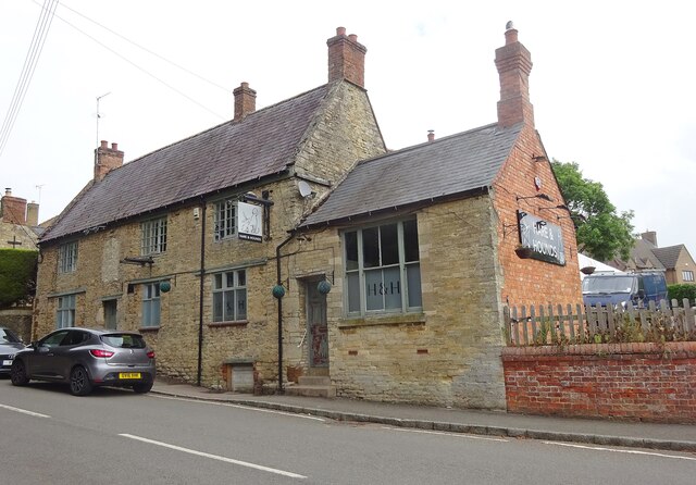
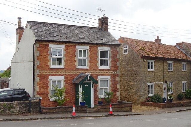
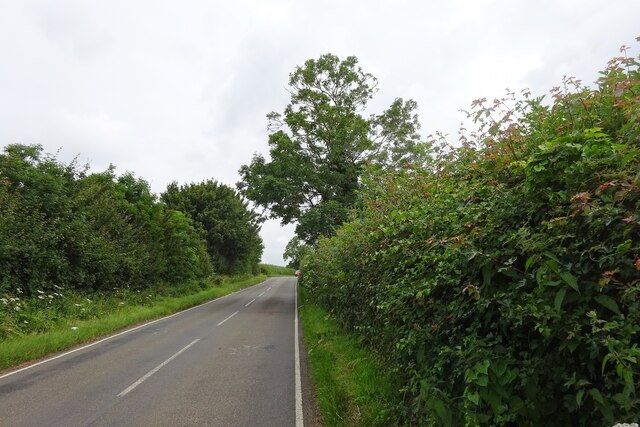
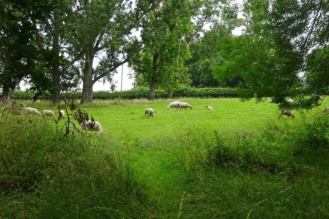
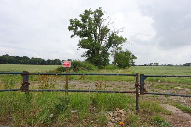
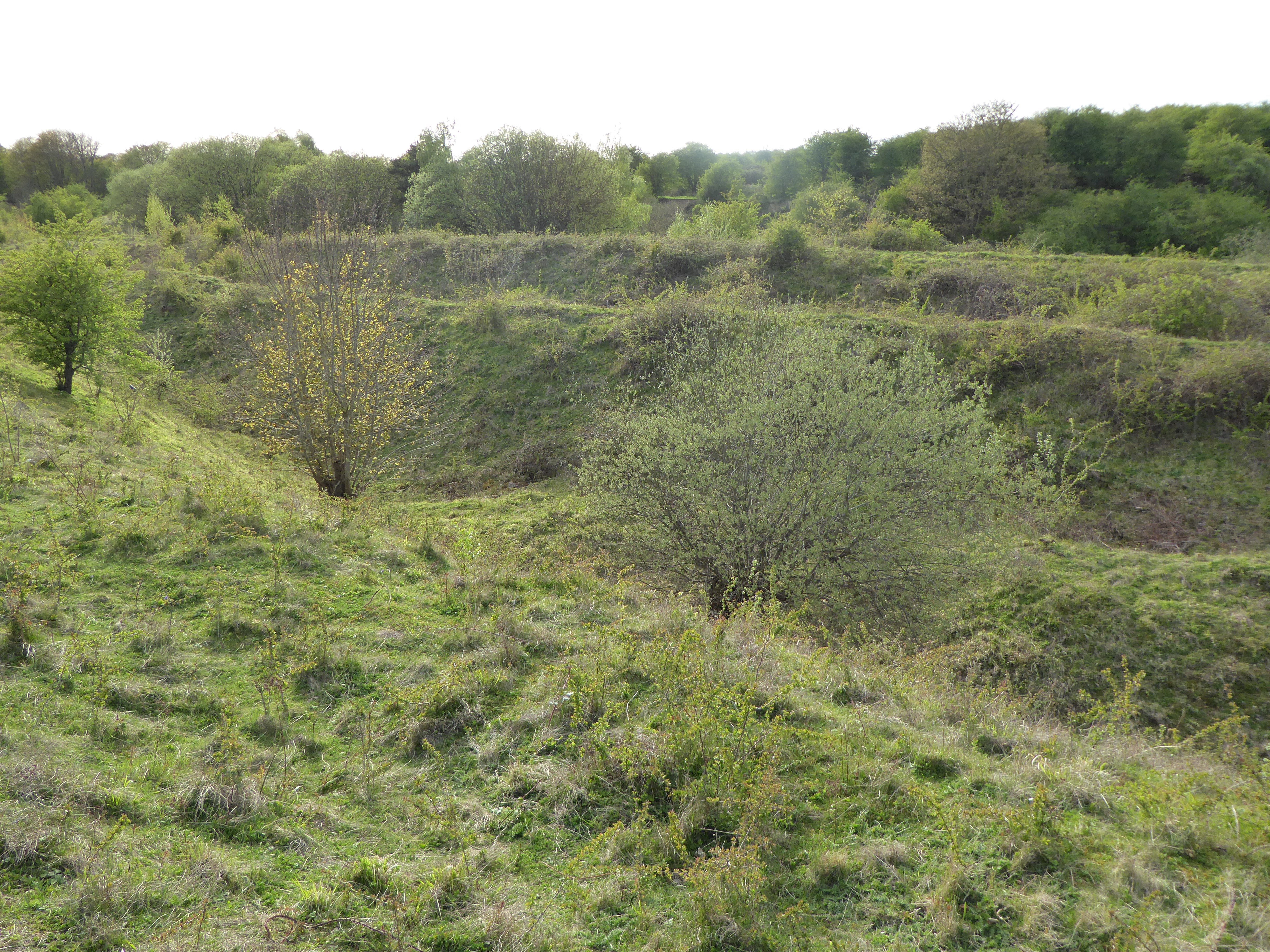
The village of Great Addington is known for its picturesque countryside and charming village atmosphere. It is surrounded by farmland and rolling hills, providing a peaceful and idyllic setting. The village itself consists of a mix of historic and modern houses, with some dating back to the 17th century.
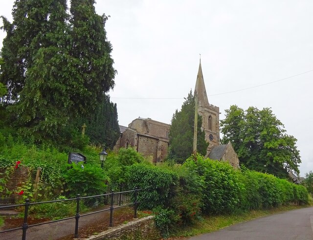
One of the notable landmarks in Great Addington is the Church of St. Mary the Virgin, a beautiful 13th-century church with an impressive spire. This historic church is a focal point of the village and holds regular services and events.
The village also has a primary school, serving the local community and providing education for children up to the age of 11. Additionally, there is a village hall that hosts various activities and events, including community gatherings and recreational activities.
Great Addington benefits from its proximity to Kettering, which offers a range of amenities, including shops, supermarkets, and leisure facilities. The village is well-connected by road, with easy access to the A14 and A43, providing convenient links to nearby towns and cities.
Overall, Great Addington is a charming and peaceful village, offering a rural lifestyle with close proximity to larger towns and amenities.
If you have any feedback on the listing, please let us know in the comments section below.
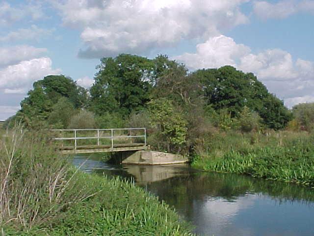
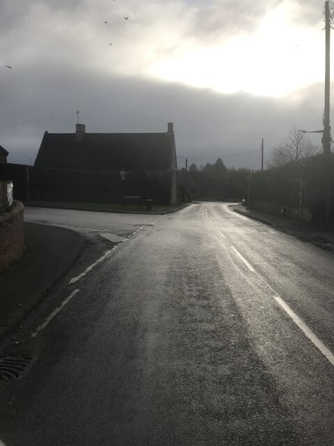
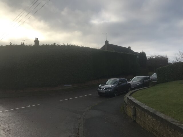
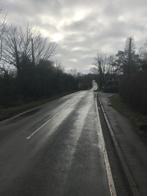
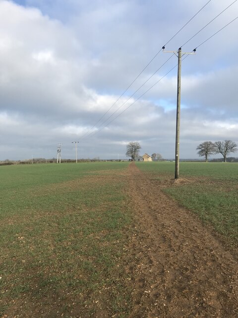
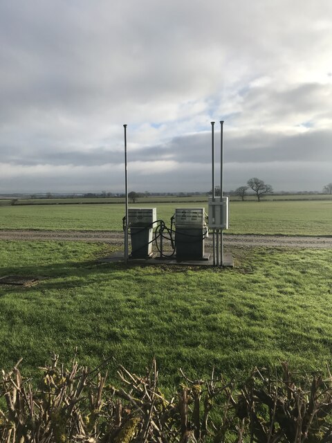
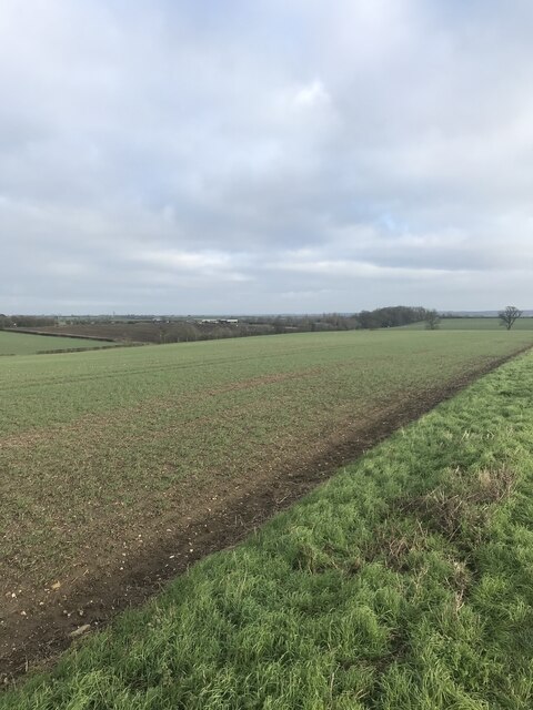
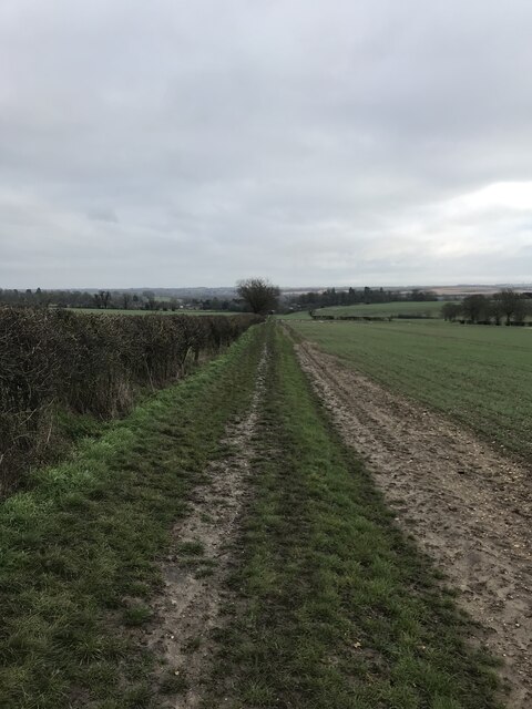
Great Addington Images
Images are sourced within 2km of 52.363381/-0.603831 or Grid Reference SP9574. Thanks to Geograph Open Source API. All images are credited.


Great Addington is located at Grid Ref: SP9574 (Lat: 52.363381, Lng: -0.603831)
Unitary Authority: North Northamptonshire
Police Authority: Northamptonshire
What 3 Words
///flagging.full.fabricate. Near Woodford, Northamptonshire
Nearby Locations
Related Wikis

Great Addington
Great Addington is a small village and civil parish in Northamptonshire, England. It lies near the west bank of the River Nene, about 5 miles (8 km) east...

Little Addington
Little Addington is a village and civil parish in North Northamptonshire, England, about 8 miles (13 km) south-east of Kettering. At the time of the 2011...
Ringstead and Addington railway station
Ringstead and Addington railway station was a railway station serving Great and Little Addington and Ringstead in Northamptonshire on the former Northampton...

Woodford, Northamptonshire
Woodford is a large village and civil parish located in North Northamptonshire, England. At the time of the 2011 census, the parish's population (including...

Kinewell Lake
Kinewell Lake is a 35.4 hectare Local Nature Reserve west of Ringstead in Northamptonshire, England. It is owned by Ringstead Parish Council and managed...
Woodwell
Woodwell is a hamlet in the English county of Northamptonshire, about a mile west of the village of Woodford. It is at the end of a cul-de-sac lane....
Twywell Gullet
Twywell Gullet is a 17.1-hectare (42-acre) biological Site of Special Scientific Interest east of Kettering in Northamptonshire. It is part of the 54.6...
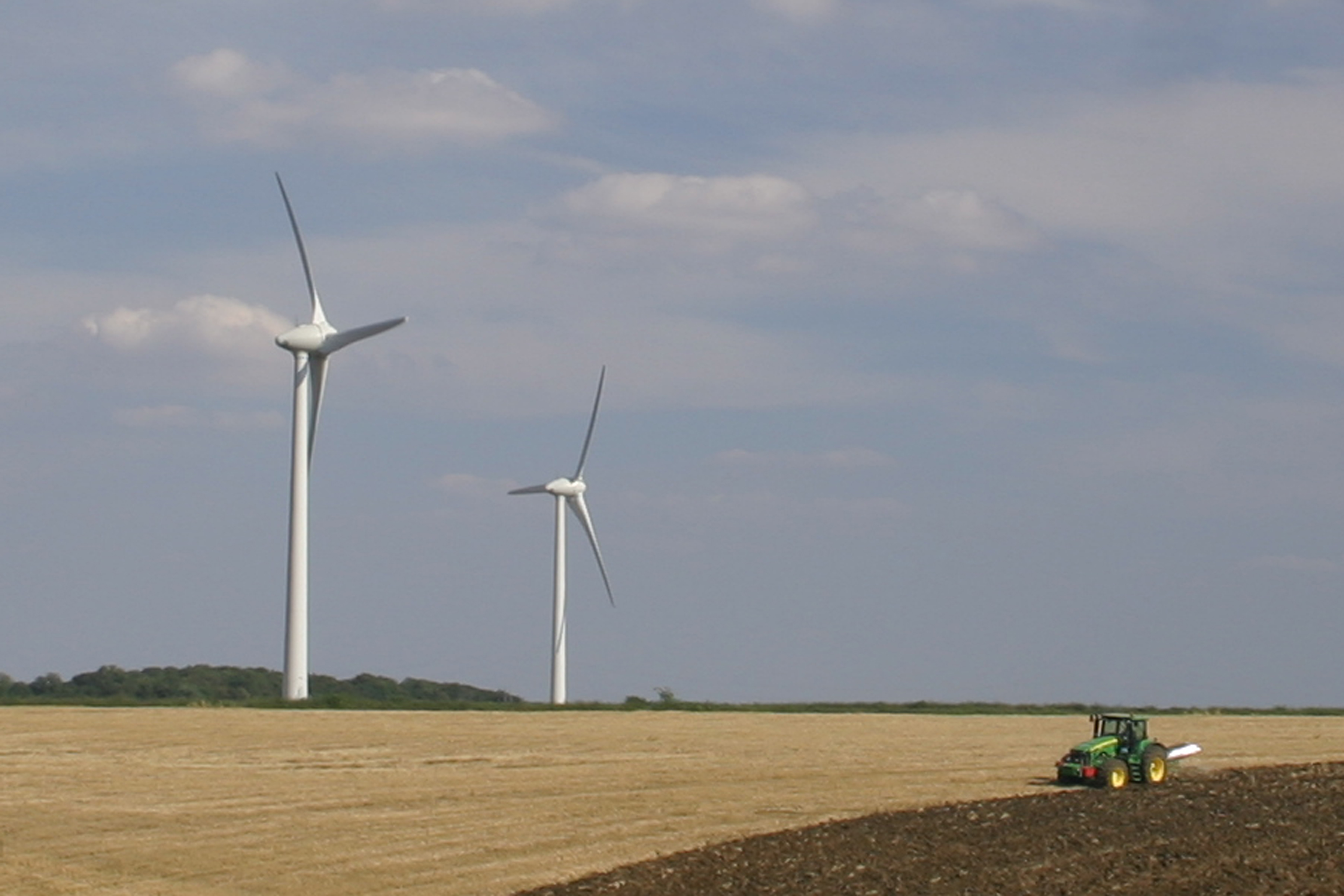
Burton Wold Wind Farm
Burton Wold Wind Farm is a wind farm located near Burton Latimer in the English county of Northamptonshire, UK. The farm was developed by Your Energy Ltd...
Nearby Amenities
Located within 500m of 52.363381,-0.603831Have you been to Great Addington?
Leave your review of Great Addington below (or comments, questions and feedback).