Old Caul

Lake, Pool, Pond, Freshwater Marsh in Cumberland

Scotland

Old Caul

Tree and hedge enclosed minor road near to Haithwaite Looking south-westward.
Tree and hedge enclosed minor road near to Haithwaite Credit: Peter Wood

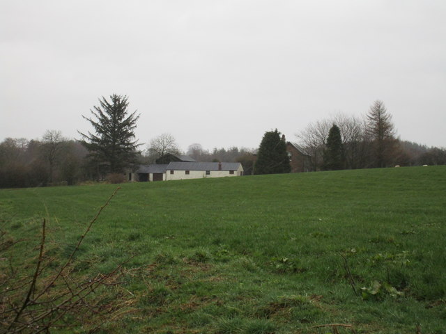
Old Caul is a picturesque lake located in the heart of Cumberland, a historic county in northwest England. Nestled amidst the rolling hills and lush greenery, the lake is a haven for nature enthusiasts and those seeking tranquility. With its crystal-clear waters and diverse ecosystem, Old Caul offers a unique blend of natural beauty and recreational opportunities.

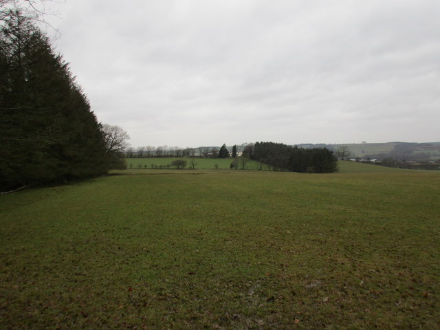
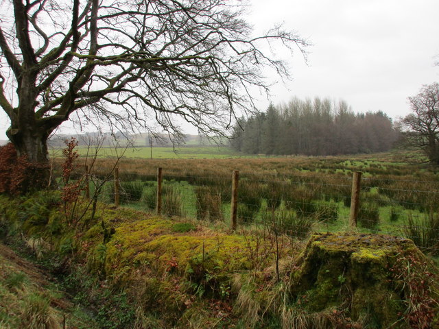
Covering an area of approximately 50 acres, Old Caul is classified as a lake, pool, pond, and freshwater marsh. The lake's origins date back to the last Ice Age, when glacial activity carved out its basin. Surrounded by dense woodlands and reed beds, the lake provides a habitat for a wide range of plant and animal species.

The water in Old Caul is remarkably pure, thanks to its isolation from major human settlements. It is home to various fish species such as pike, perch, and roach, making it a popular destination for anglers. The lake also attracts a variety of water birds, including herons, ducks, and swans, providing ample opportunities for birdwatching.

In addition to its natural beauty, Old Caul offers recreational activities such as boating, kayaking, and canoeing. Visitors can rent equipment from the nearby village and explore the lake at their own leisure. The calm waters and serene surroundings make it an ideal spot for a peaceful picnic or a leisurely stroll along the lakeshore.

Overall, Old Caul in Cumberland is a hidden gem, offering a serene escape from the hustle and bustle of everyday life. Its diverse ecosystem, recreational opportunities, and breathtaking scenery make it a must-visit destination for nature lovers and outdoor enthusiasts alike.

If you have any feedback on the listing, please let us know in the comments section below.
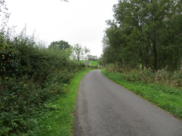
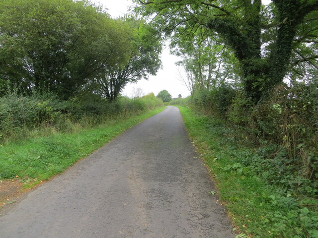
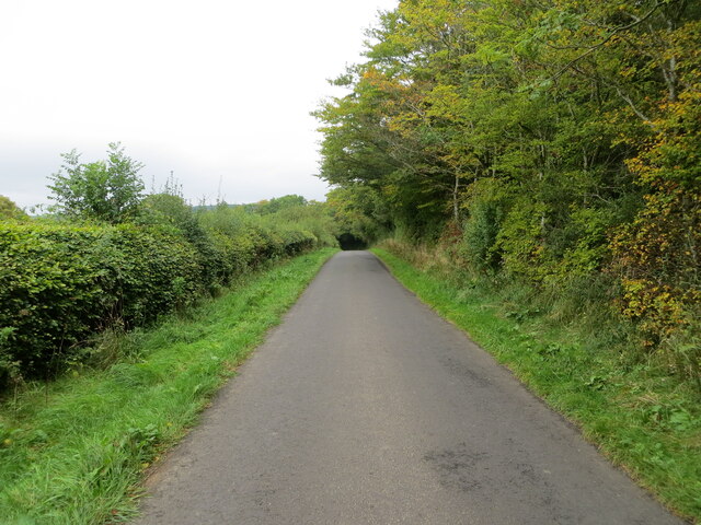
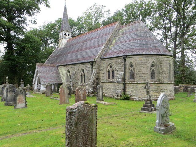
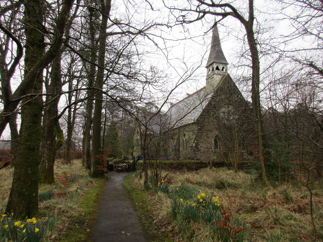
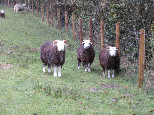
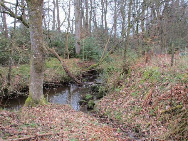
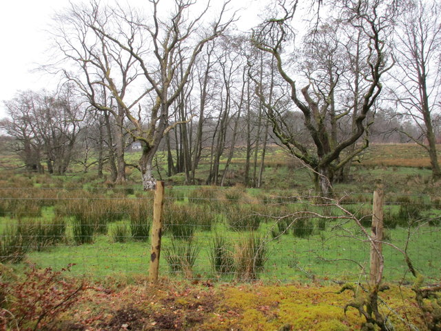
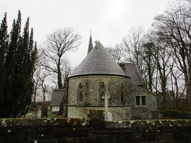
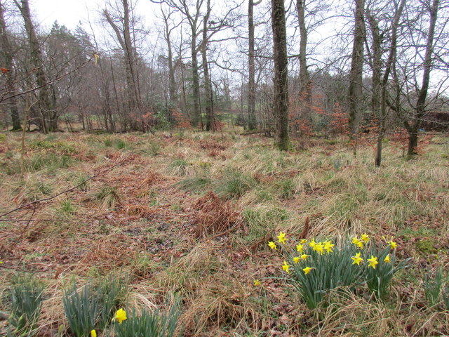
Old Caul Images

Images are sourced within 2km of 55.103746/-2.8717438 or Grid Reference NY4479. Thanks to Geograph Open Source API. All images are credited.

Tree and hedge enclosed minor road near to Haithwaite Looking south-westward.
Tree and hedge enclosed minor road near to Haithwaite
Looking south-westward.
Tree and hedge enclosed minor road near to Haithwaite Looking north-eastward.
Tree and hedge enclosed minor road near to Haithwaite
Looking north-eastward.
Tree and hedge enclosed minor road at Hunter Knowe Looking north-westward.
Tree and hedge enclosed minor road at Hunter Knowe
Looking north-westward.
The Church of St Nicholas and part of its Burial Ground, Nicholforest Viewed from the south-east.
The Church of St Nicholas and part of its Burial Ground, Nicholforest
Viewed from the south-east.
Minor road at Stoneygate Looking north-eastward.
Minor road at Stoneygate
Looking north-eastward.
Minor road at Nookfoot Farm Looking north-westward.
Minor road at Nookfoot Farm
Looking north-westward.
Hedge-lined minor road near to Nookgate Looking south-westward.
Hedge-lined minor road near to Nookgate
Looking south-westward.
Ordnance Survey Cut Mark This mark can be found on the wall of Nicholforest Parish Church - St Nicholas.
The recorded details give a height of 120.8471 metres above sea level.
For ore details see : <span class="nowrap"><a title="https://www.bench-marks.org.uk/bm164655" rel="nofollow ugc noopener" href="https://www.bench-marks.org.uk/bm164655">Link</a><img style="margin-left:2px;" alt="External link" title="External link - shift click to open in new window" src="https://s1.geograph.org.uk/img/external.png" width="10" height="10"/></span>
Ordnance Survey Cut Mark
This mark can be found on the wall of Nicholforest Parish Church - St Nicholas. The recorded details give a height of 120.8471 metres above sea level. For ore details see : LinkExternal link
Ordnance Survey Cut Mark This mark can be found on the corner of a roadside wall at Stonygate.
The recorded details give a height of 124.142 metres above sea level.
For more details see : <span class="nowrap"><a title="https://www.bench-marks.org.uk/bm164656" rel="nofollow ugc noopener" href="https://www.bench-marks.org.uk/bm164656">Link</a><img style="margin-left:2px;" alt="External link" title="External link - shift click to open in new window" src="https://s1.geograph.org.uk/img/external.png" width="10" height="10"/></span>
Ordnance Survey Cut Mark
This mark can be found on the corner of a roadside wall at Stonygate. The recorded details give a height of 124.142 metres above sea level. For more details see : LinkExternal link
View towards Haithwaite The hills in the distance are across the border in Scotland.
View towards Haithwaite
The hills in the distance are across the border in Scotland.
Watleyhurst, Nicholforest
View towards Birney Wood On a dank day.
View towards Birney Wood
On a dank day.
Church of St. Nicholas, Nicholforest The church designed by Alexander Graham and built 1866-7 <span class="nowrap"><a title="http://www.britishlistedbuildings.co.uk/en-78185-church-of-st-nicholas-nicholforest-cumbri#.Vv_4cUfkoeU" rel="nofollow ugc noopener" href="http://www.britishlistedbuildings.co.uk/en-78185-church-of-st-nicholas-nicholforest-cumbri#.Vv_4cUfkoeU">Link</a><img style="margin-left:2px;" alt="External link" title="External link - shift click to open in new window" src="https://s1.geograph.org.uk/img/external.png" width="10" height="10"/></span> is separated from the new burial ground by a small area of woodland.
Church of St. Nicholas, Nicholforest
The church designed by Alexander Graham and built 1866-7 LinkExternal link is separated from the new burial ground by a small area of woodland.
Sheep at Nicholforest I think these are Border Cheviots.
Sheep at Nicholforest
I think these are Border Cheviots.
Black Burn I assume it is Black Burn as it runs through Blackburn Wood, though OS seems uncertain about that as at some scales it is marked Backburn Wood.
Black Burn
I assume it is Black Burn as it runs through Blackburn Wood, though OS seems uncertain about that as at some scales it is marked Backburn Wood.
Wet pasture near the Black Burn
Apse, church of St. Nicholas Church designed by Alexander Graham and built 1866-7.
Apse, church of St. Nicholas
Church designed by Alexander Graham and built 1866-7.
Woodland adjacent to the church, Nicholforest
Show me another place!

Old Caul is located at Grid Ref: NY4479 (Lat: 55.103746, Lng: -2.8717438)

Unitary Authority: Dumfries and Galloway

Police Authority: Dumfries and Galloway

What 3 Words

///trash.adhesive.pokers. Near Langholm, Dumfries & Galloway

Nearby Locations

Old Caul Roans Wood

Related Wikis

Nook Pasture railway station

Nook Pasture railway station served the village of Canonbie, Dumfriesshire, Scotland, from 1864 to 1873 on the Waverley Line. The station was located...

Nicholforest

Nicholforest is a civil parish in Cumbria, England bordering Scotland. The population of the civil parish taken at the 2011 census was 372. The parish...

Catlowdy

Catlowdy is a hamlet in Cumbria, England. It contains the Bessiestown Country Guest House. == References ==

Rowanburn

Rowanburn is a hamlet in Eskdale, Dumfries and Galloway, Scotland. Located near Canonbie, it sits around 5 miles south-east of Langholm and about a mile...

Nearby Amenities

Located within 500m of 55.103746,-2.8717438
Power: pole
Lat/Long: 55.1008644/-2.875987
Power: pole
Lat/Long: 55.1015274/-2.8751475
Power: pole
Lat/Long: 55.1021785/-2.8743107
The data included in this document is from www.openstreetmap.org. The data is made available under ODbL.

Have you been to Old Caul?

Leave your review of Old Caul below (or comments, questions and feedback).