Roans Wood
Wood, Forest in Dumfriesshire
Scotland
Roans Wood
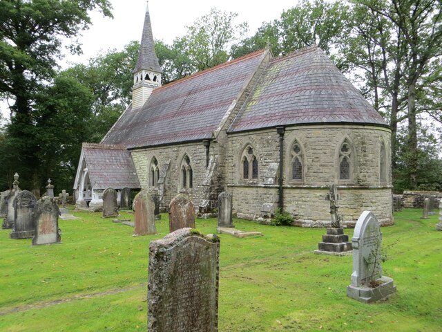
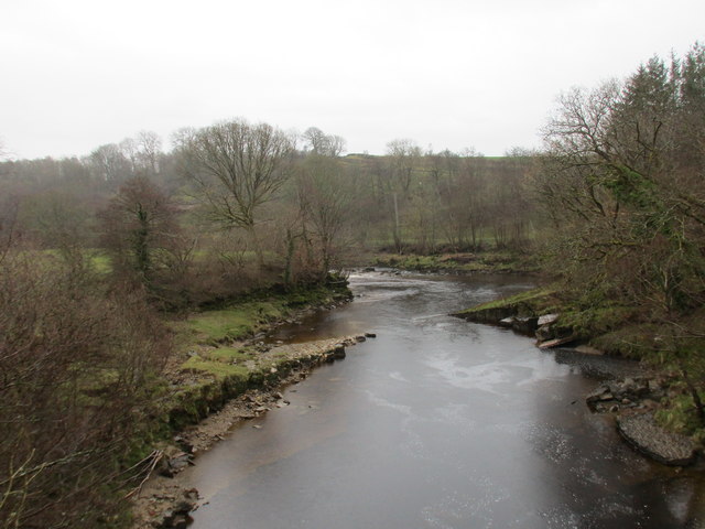
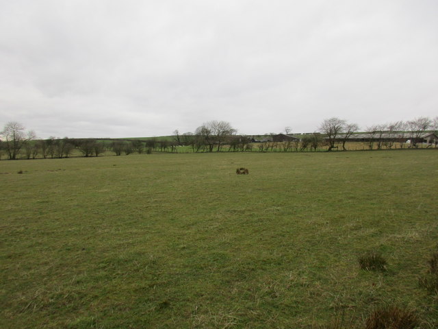
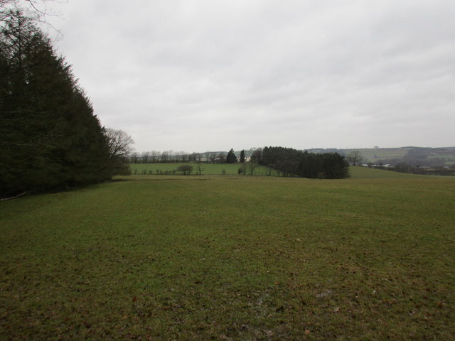
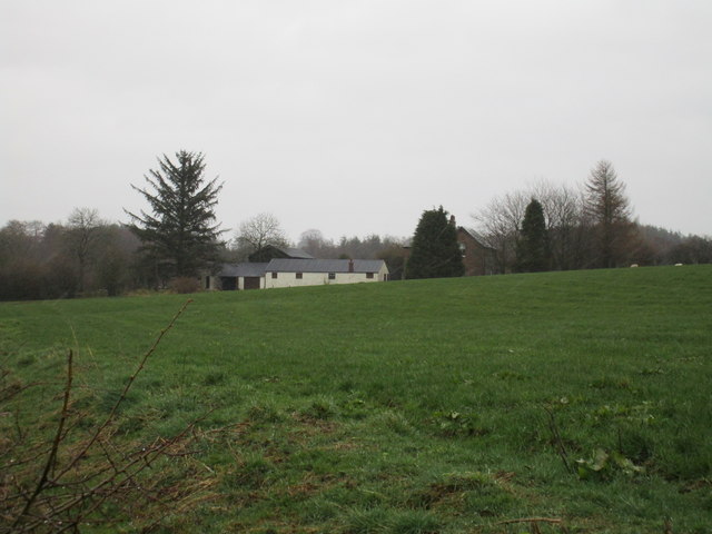
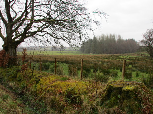
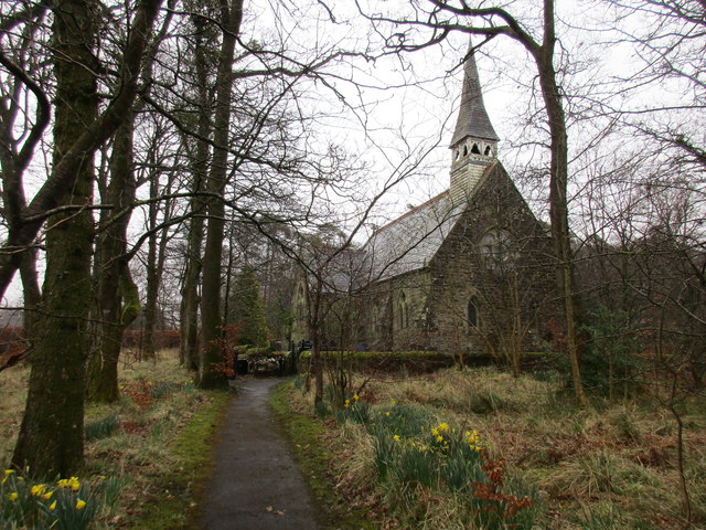
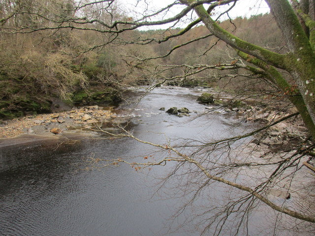
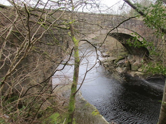
Roans Wood, located in the region of Dumfriesshire, Scotland, is a picturesque and enchanting forest that offers visitors a tranquil escape into nature. Covering an area of approximately 300 acres, this woodland is renowned for its diverse range of flora and fauna, making it a haven for wildlife enthusiasts and nature lovers.
The woodland is predominantly composed of native broadleaf trees, including oak, birch, and beech, which create a stunning canopy of vibrant colors during the autumn months. The forest floor is adorned with a variety of wildflowers, such as bluebells and primroses, adding to the visual appeal of the wood.
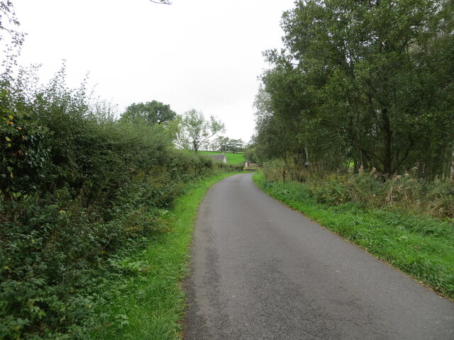
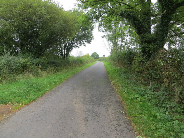
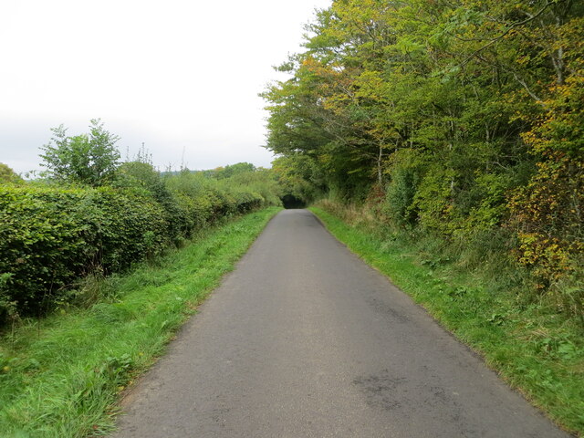
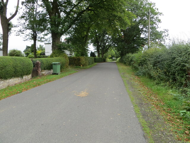
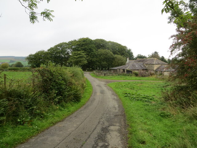
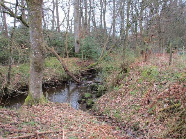
Roans Wood is crisscrossed with well-maintained trails and footpaths, providing visitors with the opportunity to explore its beauty at their own pace. The paths meander through the forest, taking visitors past babbling brooks, ancient stone walls, and hidden glens. Along the way, there are several designated viewpoints that offer breathtaking panoramic views of the surrounding countryside.
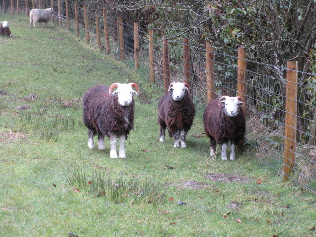
In addition to its natural beauty, Roans Wood is home to a wide range of wildlife. Birdwatchers can spot species such as woodpeckers, owls, and red kites, while lucky visitors may even catch a glimpse of roe deer or red squirrels. The forest also hosts a rich variety of insects, including butterflies and dragonflies.
Roans Wood is a popular destination for outdoor activities such as walking, hiking, and wildlife photography. Its serene atmosphere and stunning landscapes make it an idyllic location for those seeking solace in nature's embrace. Whether visiting for a leisurely stroll or an immersive wildlife experience, Roans Wood is a must-visit destination for anyone exploring the Dumfriesshire region.
If you have any feedback on the listing, please let us know in the comments section below.
Roans Wood Images
Images are sourced within 2km of 55.103059/-2.8773398 or Grid Reference NY4479. Thanks to Geograph Open Source API. All images are credited.
Roans Wood is located at Grid Ref: NY4479 (Lat: 55.103059, Lng: -2.8773398)
Unitary Authority: Dumfries and Galloway
Police Authority: Dumfries and Galloway
What 3 Words
///tame.silver.screen. Near Langholm, Dumfries & Galloway
Nearby Locations
Related Wikis

Nook Pasture railway station
Nook Pasture railway station served the village of Canonbie, Dumfriesshire, Scotland, from 1864 to 1873 on the Waverley Line. The station was located...
Nicholforest
Nicholforest is a civil parish in Cumbria, England bordering Scotland. The population of the civil parish taken at the 2011 census was 372. The parish...

Catlowdy
Catlowdy is a hamlet in Cumbria, England. It contains the Bessiestown Country Guest House. == References ==
Rowanburn
Rowanburn is a hamlet in Eskdale, Dumfries and Galloway, Scotland. Located near Canonbie, it sits around 5 miles south-east of Langholm and about a mile...
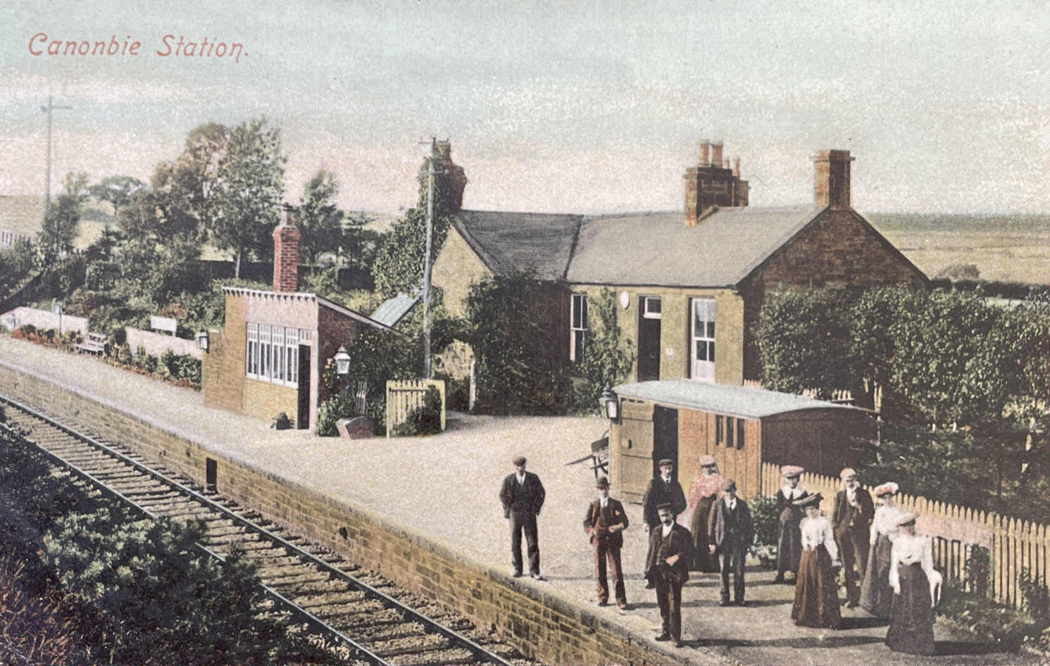
Canonbie railway station
Canonbie railway station served the village of Canonbie, Dumfries and Galloway, Scotland from 1862 to 1967 on the Border Union Railway. == History == The...

Fairy Loup
Fairy Loup is a waterfall located on Byre Burn, a tributary of River Esk, in Dumfries and Galloway, Scotland.The waterfall's name originates in a local...
Gilnockie railway station
Gilnockie railway station served the hamlet of Hollows, Dumfries and Galloway, Scotland from 1864 to 1967 on the Border Union Railway. == History == The...
Alston Formation
The Alston Formation is a geologic formation in England. It preserves fossils dating back to the Viséan to Serpukhovian (Asbian, Brigantian and Pendleian...
Nearby Amenities
Located within 500m of 55.103059,-2.8773398Have you been to Roans Wood?
Leave your review of Roans Wood below (or comments, questions and feedback).