Loch of Lythe

Lake, Pool, Pond, Freshwater Marsh in Orkney

Scotland

Loch of Lythe

Eastward House, A961 near Barswick, South Ronaldsay Built in 1873 by local residents for the Church of Scotland, it is now (2014) a home offering B & B.
Eastward House, A961 near Barswick, South Ronaldsay Credit: Jo and Steve Turner

Loch of Lythe is a freshwater loch located on the island of Orkney in Scotland. Situated in the parish of Birsay, it is nestled amidst the picturesque landscapes of this remote archipelago. The Loch is roughly rectangular in shape, with a length of approximately 1.5 kilometers and a width of about 500 meters.

Surrounded by gently rolling hills and lush green vegetation, Loch of Lythe is a renowned site for wildlife enthusiasts and bird watchers. The area is abundant in diverse flora and fauna, providing a thriving ecosystem for numerous species. The loch is particularly known for its resident populations of waterfowl, including ducks, swans, and geese. These birds can often be seen gracefully gliding across the calm waters or nesting on the small islands that dot the Loch.

The surrounding landscape of Loch of Lythe is characterized by a mix of grassy meadows, reed beds, and shrubbery, creating a rich and varied habitat. The loch itself is relatively shallow, with an average depth of around 2 meters, and its waters are clear and pristine.

Visitors to Loch of Lythe can enjoy the tranquility and natural beauty of the area by engaging in activities such as fishing, boating, or simply strolling along its shores. The loch is easily accessible, with a nearby car park and designated walking paths leading to various viewpoints. Its idyllic setting and diverse wildlife make Loch of Lythe a must-visit destination for nature lovers and those seeking a peaceful retreat in the heart of Orkney.

If you have any feedback on the listing, please let us know in the comments section below.

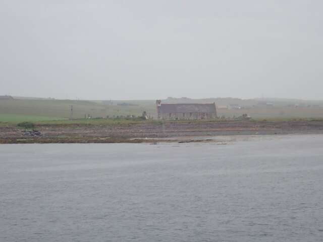
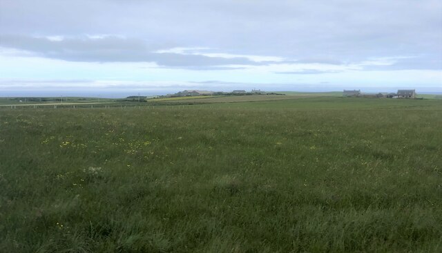
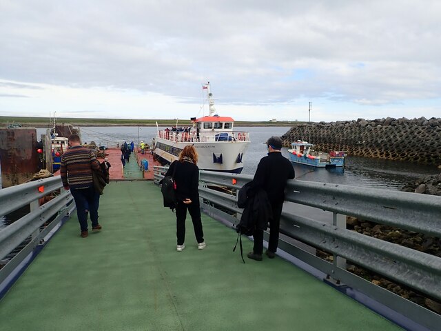
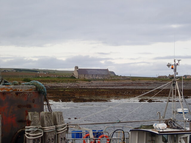
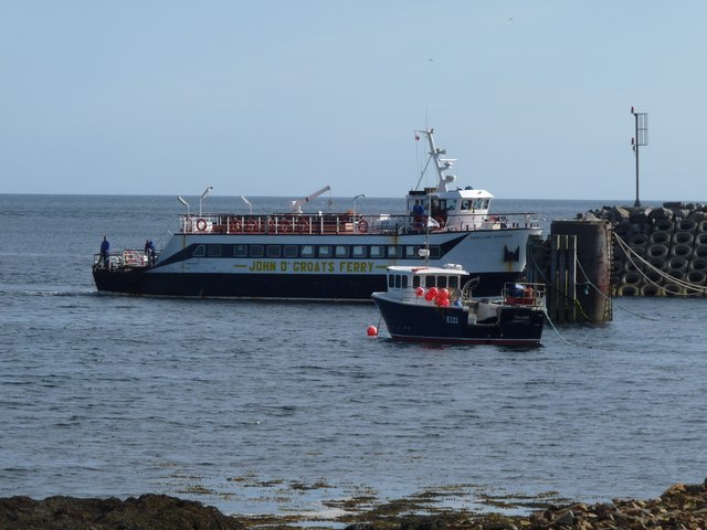
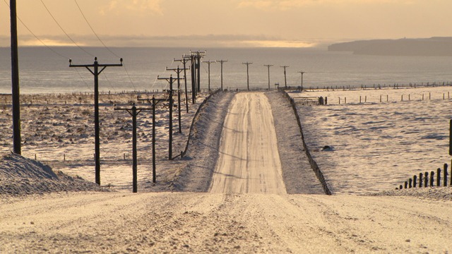
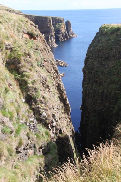
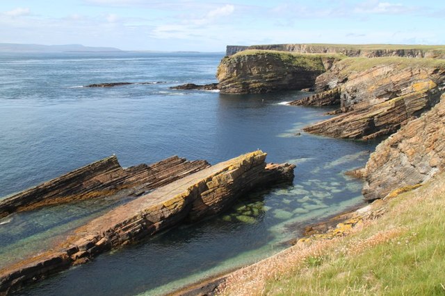
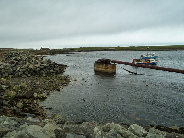
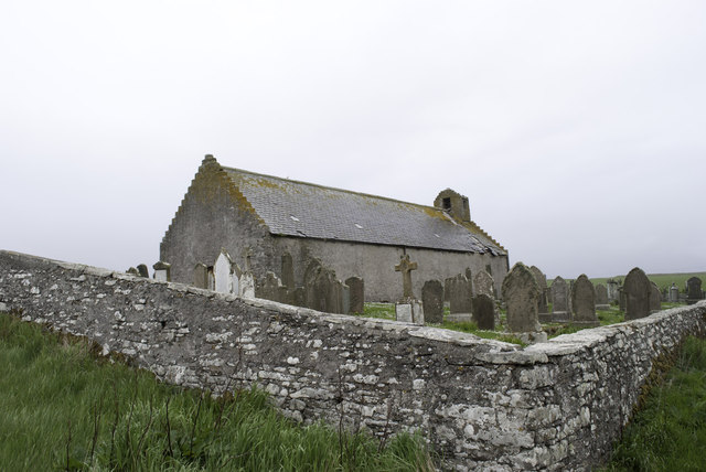
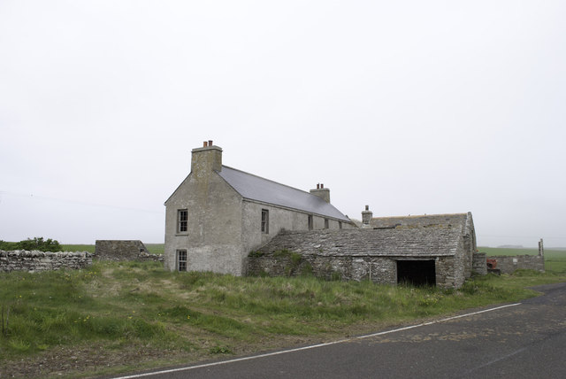
Loch of Lythe Images

Images are sourced within 2km of 58.756659/-2.961233 or Grid Reference ND4485. Thanks to Geograph Open Source API. All images are credited.

Eastward House, A961 near Barswick, South Ronaldsay Built in 1873 by local residents for the Church of Scotland, it is now (2014) a home offering B & B.
Eastward House, A961 near Barswick, South Ronaldsay
Built in 1873 by local residents for the Church of Scotland, it is now (2014) a home offering B & B.
St Mary's Church, Burwick Old St Mary’s is in the very south of the south parish at Burwick. It is on the site where the first Christian missionaries reputedly arrived in Orkney. The church is thought to have last been used for regular worship around 1959, then used for occasional services until around 1995. It is on the Churches at Risk register, especially since it was struck by lightning in 2013.
St Mary's Church, Burwick
Old St Mary’s is in the very south of the south parish at Burwick. It is on the site where the first Christian missionaries reputedly arrived in Orkney. The church is thought to have last been used for regular worship around 1959, then used for occasional services until around 1995. It is on the Churches at Risk register, especially since it was struck by lightning in 2013.
Farmland, Mossetter
Farmland, Mossetter
Loch of Lythe  Small loch near Ossquoy, the farm on the right
Loch of Lythe
Small loch near Ossquoy, the farm on the right
Tomison's Academy Founded under the will of William Tomison (1739-1829) of the Hudson's Bay Company. 
This former school is now empty and the adjacent buildings falling into dereliction
Tomison's Academy
Founded under the will of William Tomison (1739-1829) of the Hudson's Bay Company. This former school is now empty and the adjacent buildings falling into dereliction
Waiting for the ferry at Burwick Pier
St Mary's Church, Burwick A better view of the church than when we arrived earlier in the day <a href="https://www.geograph.org.uk/photo/7443070">ND4384 : St Mary's Church, Burwick</a>. Old St Mary’s is in the very south of the south parish at Burwick. It is on the site where the first Christian missionaries reputedly arrived in Orkney. The church is thought to have last been used for regular worship around 1959, then used for occasional services until around 1995. It is on the Churches at Risk register, especially since it was struck by lightning in 2013.
St Mary's Church, Burwick
A better view of the church than when we arrived earlier in the day ND4384 : St Mary's Church, Burwick. Old St Mary’s is in the very south of the south parish at Burwick. It is on the site where the first Christian missionaries reputedly arrived in Orkney. The church is thought to have last been used for regular worship around 1959, then used for occasional services until around 1995. It is on the Churches at Risk register, especially since it was struck by lightning in 2013.
John o' Groats ferry arrives at Burwick Summer sailings across the Pentland Firth
John o' Groats ferry arrives at Burwick
Summer sailings across the Pentland Firth
Road to somewhere
Road to somewhere
Aerial view of southern South Ronaldsay Taken from a flight to Shetland via Orkney this is the southern end of the southernmost of the main islands of Orkney, South Ronaldsay.
Obviously aerial photos such as this cover many squares, so I have taken the subject reference as Barth Head, which is the little sticky-out point nearest the camera.
Aerial view of southern South Ronaldsay
Taken from a flight to Shetland via Orkney this is the southern end of the southernmost of the main islands of Orkney, South Ronaldsay. Obviously aerial photos such as this cover many squares, so I have taken the subject reference as Barth Head, which is the little sticky-out point nearest the camera.
The Beach at Wind Wick The rocky beach at Wind Wick
The Beach at Wind Wick
The rocky beach at Wind Wick
Rocks off Wind Wick Beach Rocks off the coast at Wind Wick
Rocks off Wind Wick Beach
Rocks off the coast at Wind Wick
Not quite a stack A small promontory which after a few more centuries of storms will no doubt become a stack
Not quite a stack
A small promontory which after a few more centuries of storms will no doubt become a stack
Castle Skerry Another small headland by Bur Wick
Castle Skerry
Another small headland by Bur Wick
Harbour at Bur Wick View north east across the harbour.
Harbour at Bur Wick
View north east across the harbour.
Falling into ruin at Bur Wick
House being renovated at Bur Wick At least it has a new roof.
House being renovated at Bur Wick
At least it has a new roof.
Bur Wick Pier Desolate spot at the southern end of Orkney - not used much now with the ferry to St.Margaret's Hope.
Bur Wick Pier
Desolate spot at the southern end of Orkney - not used much now with the ferry to St.Margaret's Hope.
Show me another place!

Loch of Lythe is located at Grid Ref: ND4485 (Lat: 58.756659, Lng: -2.961233)

Unitary Authority: Orkney Islands

Police Authority: Highlands and Islands

What 3 Words

///slanting.motivate.prove. Near St Margaret's Hope, Orkney Islands

Nearby Locations

Loch of Lythe

Related Wikis

Burwick, Orkney

Burwick () is a small harbour on the island of South Ronaldsay in the Orkney Islands, Scotland. It is the closest Orkney harbour to the Scottish mainland...

HMS Opal (1915)

HMS Opal was an Admiralty M-class destroyer of the Royal Navy. She served in the First World War following her construction at Sunderland in 1915. Attached...

Liddle Burnt Mound

Liddle Burnt Mound is a Bronze Age site on the island of South Ronaldsay, Orkney. The site consists of the remains of a building and a mound that surrounds...

Tomb of the Eagles

The Tomb of the Eagles, or Isbister Chambered Cairn, is a Neolithic chambered tomb located on a cliff edge at Isbister on South Ronaldsay in Orkney, Scotland...

Nearby Amenities

Located within 500m of 58.756659,-2.961233
Post Box
Collection Times: Mo-Sa 12:30
Operator: Royal Mail
Post Box Type: lamp
Postal Code: KW17
Ref: KW17 55
Royal Cypher: scottish_crown
Lat/Long: 58.7546808/-2.9659148
Power: pole
Lat/Long: 58.7549662/-2.9592705
Power: pole
Lat/Long: 58.7544306/-2.9595521
Power: pole
Lat/Long: 58.7540188/-2.9601556
Power: pole
Lat/Long: 58.7535916/-2.9607296
Power: pole
Lat/Long: 58.7529182/-2.9620224
Power: pole
Lat/Long: 58.7527791/-2.9599679
Power: pole
Lat/Long: 58.7531993/-2.9613358
Power: pole
Lat/Long: 58.7534915/-2.9623684
Power: pole
Lat/Long: 58.753856/-2.9635915
Power: pole
Lat/Long: 58.7540716/-2.9643667
Power: pole
Lat/Long: 58.7543137/-2.9651794
Power: pole
Lat/Long: 58.754361/-2.9685831
Power: pole
Lat/Long: 58.7549885/-2.968736
Power: pole
Lat/Long: 58.7557384/-2.9689238
Power: pole
Lat/Long: 58.7576874/-2.9693985
Power: pole
Lat/Long: 58.7526423/-2.96277
Power: pole
Lat/Long: 58.7533967/-2.9630288
Power: pole
Lat/Long: 58.7540947/-2.9652446
Power: pole
Lat/Long: 58.7529511/-2.9653823
The data included in this document is from www.openstreetmap.org. The data is made available under ODbL.

Have you been to Loch of Lythe?

Leave your review of Loch of Lythe below (or comments, questions and feedback).