Lower Lake
Lake, Pool, Pond, Freshwater Marsh in Selkirkshire
Scotland
Lower Lake
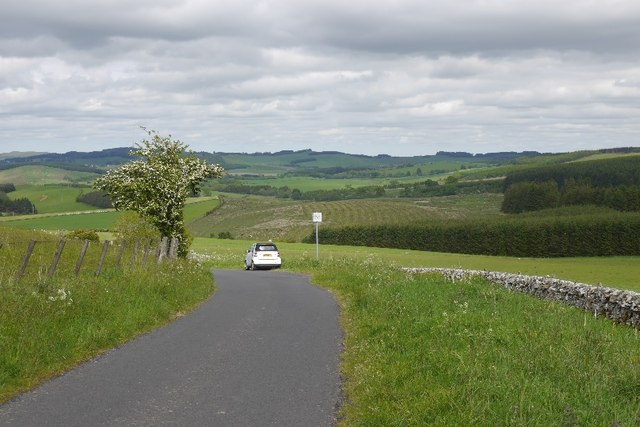
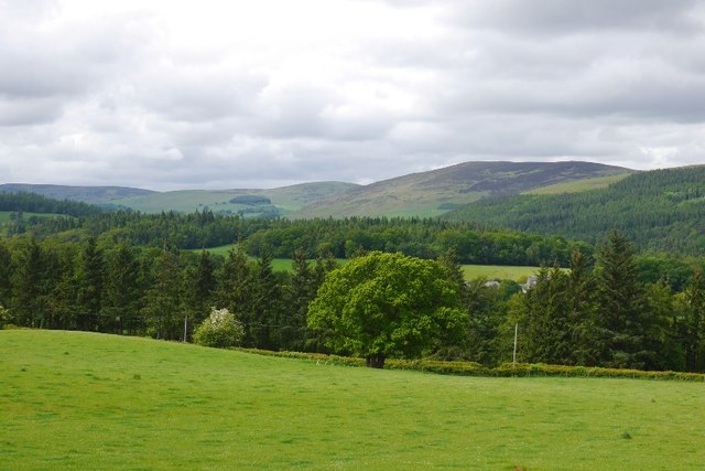
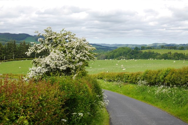
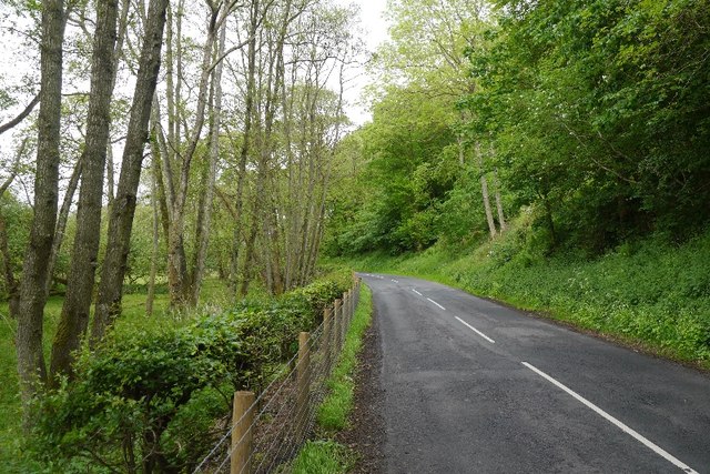
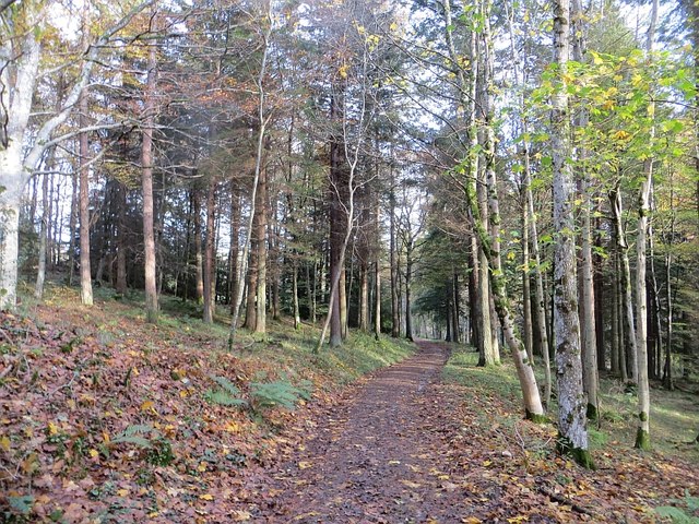
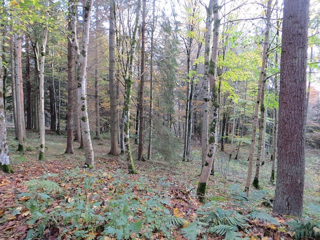
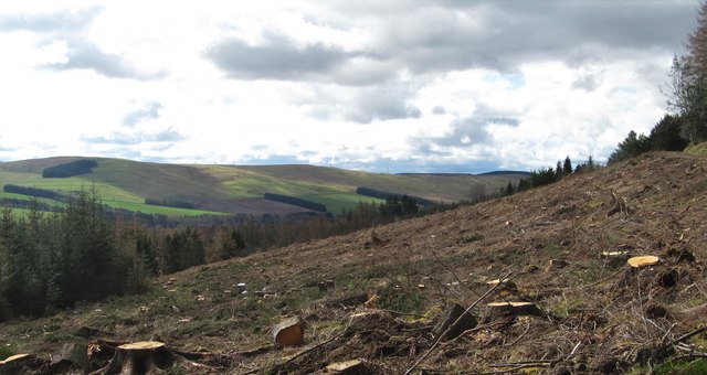
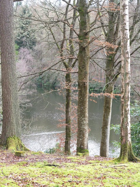
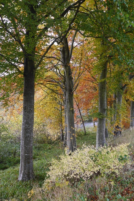
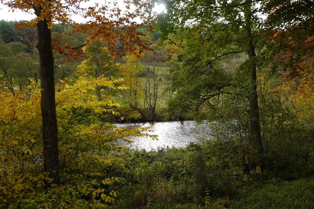
Lower Lake is a picturesque body of water located in the region of Selkirkshire, Scotland. Spanning over an area of approximately 10 acres, it is classified as a lake due to its size and depth. The lake sits nestled within a serene and tranquil landscape, surrounded by lush greenery, making it a haven for nature enthusiasts and visitors seeking relaxation.
The water in Lower Lake is sourced from various natural springs and streams that flow into it, ensuring a constant supply of freshwater. The lake boasts crystal-clear waters, reflecting the surrounding scenery like a mirror, creating a breathtaking sight for onlookers. The depth of the lake varies, with some sections reaching up to 20 feet, providing ample habitat for a diverse range of aquatic life.
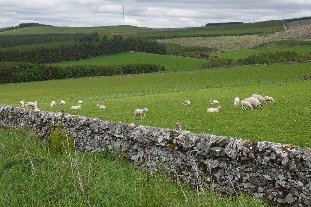
Lower Lake is home to a wide array of flora and fauna. Its shores are adorned with vibrant vegetation, including reeds, rushes, and water lilies, which thrive in the freshwaters. These plants not only enhance the aesthetic appeal of the lake but also provide a vital habitat for numerous species of birds, insects, and small animals.
The lake also serves as a sanctuary for a variety of fish species, such as trout, pike, and perch. Anglers often flock to Lower Lake to try their luck at catching these prized fish, adding to the recreational value of the area.
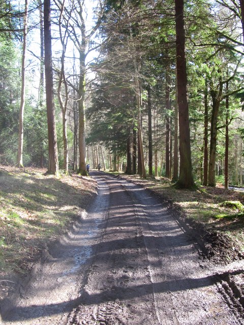
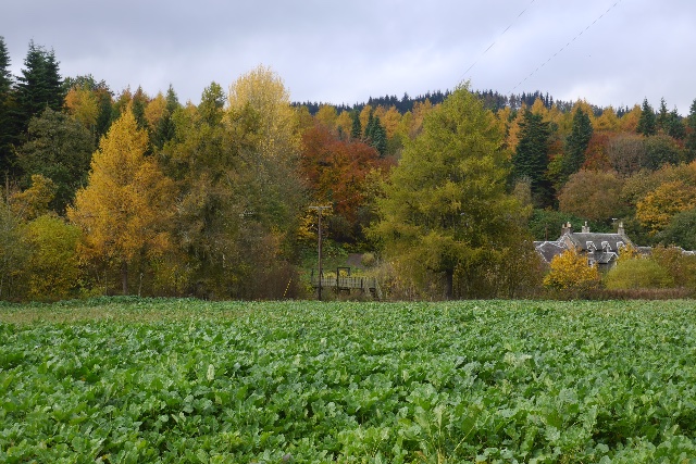
Visitors can explore the lake through various activities such as canoeing, kayaking, and boating, allowing them to fully immerse themselves in the natural beauty of Selkirkshire. Additionally, a network of walking trails surrounds the lake, offering opportunities for leisurely strolls and birdwatching.
In conclusion, Lower Lake in Selkirkshire is a captivating freshwater body that provides a serene escape from the hustle and bustle of everyday life. With its scenic beauty, diverse wildlife, and recreational activities, it offers a truly enchanting experience for all who visit.
If you have any feedback on the listing, please let us know in the comments section below.
Lower Lake Images
Images are sourced within 2km of 55.535067/-2.9076437 or Grid Reference NT4227. Thanks to Geograph Open Source API. All images are credited.
Lower Lake is located at Grid Ref: NT4227 (Lat: 55.535067, Lng: -2.9076437)
Unitary Authority: The Scottish Borders
Police Authority: The Lothians and Scottish Borders
What 3 Words
///tumble.suiting.divisible. Near Selkirk, Scottish Borders
Nearby Locations
Related Wikis

Bowhill, Scottish Borders
Bowhill is a village off the A708, in the Scottish Borders area of Scotland, near Selkirk, by the Yarrow Water Other places nearby include Bowhill House...

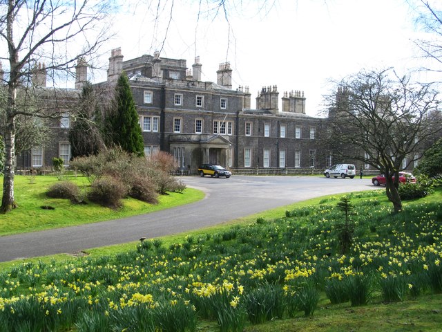
Bowhill House
Bowhill House is a historic house near Bowhill at Selkirk in the Scottish Borders area of Scotland. It is a member of the Historic Houses Association,...

Carterhaugh
Carterhaugh is a wood and farm near the confluence of the Yarrow Water and the Ettrick Water near Selkirk in the Scottish Borders. This real location...

Battle of Philiphaugh
The Battle of Philiphaugh was fought on 13 September 1645 during the Wars of the Three Kingdoms near Selkirk in the Scottish Borders. The Royalist army...
Philiphaugh
Philiphaugh is a village by the Yarrow Water, on the outskirts of Selkirk, in the Scottish Borders. Places nearby include Bowhill, Broadmeadows, the Ettrick...

Aikwood Tower
Aikwood Tower (formerly known as Oakwood Tower) is a 16th-century tower house in the Scottish Borders area of Scotland, 4 miles (6 kilometres) southwest...

Yarrow Water
The Yarrow Water is a river in the Borders in the south east of Scotland. It is a tributary of the Ettrick Water (itself a tributary of the Tweed) and...

Oakwood Roman Fort and Camp
Oakwood Roman Fort and Camp is a British archaeological site, a Roman fort and nearby Roman camp, about 3.5 miles (5.6 km) south-west of Selkirk in the...
Nearby Amenities
Located within 500m of 55.535067,-2.9076437Have you been to Lower Lake?
Leave your review of Lower Lake below (or comments, questions and feedback).