Fala Flow Loch
Lake, Pool, Pond, Freshwater Marsh in Midlothian
Scotland
Fala Flow Loch

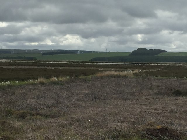
Fala Flow Loch is a freshwater loch located in the county of Midlothian, Scotland. It is situated near the village of Fala, approximately 15 miles southeast of the city of Edinburgh. The loch is part of a larger wetland complex known as Fala Flow, which includes a mix of marshes, pools, and ponds.
Covering an area of around 16 hectares, Fala Flow Loch is relatively small in size. It is surrounded by low-lying vegetation, including reeds, grasses, and sedges, which provide important habitats for a variety of bird species and other wildlife. The loch itself is rich in aquatic plants such as water lilies and pondweed, which offer shelter and food for many aquatic organisms.
The loch is a popular spot for birdwatching enthusiasts, as it attracts a diverse range of waterbirds throughout the year. Visitors can observe species such as mallards, teal, tufted ducks, and mute swans, among others. In the summer months, the loch becomes a breeding ground for several bird species, including the common tern and the little grebe.
Fala Flow Loch also serves as a vital stopover for migratory birds, providing them with a resting place and a source of food during their long journeys. The surrounding wetlands and marshes offer additional habitats for a variety of other animals, including amphibians, dragonflies, and butterflies.
Overall, Fala Flow Loch is a tranquil and biodiverse freshwater habitat, offering visitors the opportunity to observe and appreciate the natural beauty and wildlife of the Midlothian countryside.
If you have any feedback on the listing, please let us know in the comments section below.
Fala Flow Loch Images
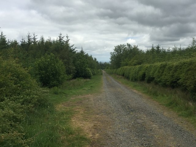
Images are sourced within 2km of 55.81651/-2.91401 or Grid Reference NT4258. Thanks to Geograph Open Source API. All images are credited.


Fala Flow Loch is located at Grid Ref: NT4258 (Lat: 55.81651, Lng: -2.91401)
Unitary Authority: Midlothian
Police Authority: The Lothians and Scottish Borders
What 3 Words
///permit.drag.gobblers. Near Gorebridge, Midlothian
Nearby Locations
Related Wikis

Fala Flow
Fala Flow is an area of upland blanket bog on the edge of the Lammermuir Hills, in Midlothian, Scotland. Located north of the village of Fala, around 15...
Cakemuir Castle
Cakemuir Castle is an historic house situated 4 miles (6.4 km) southeast of Pathhead, in the Lammermuir Hills, Midlothian, Scotland. The name may be connected...

Soutra Aisle
Soutra Aisle, (the present structure lies just within the boundary of the Scottish Borders from Midlothian) not far from Fala, is the remains of the House...

Fala, Midlothian
Fala is a hamlet in the south-eastern corner of Midlothian, Scotland, and about 15 miles from Edinburgh. == Location == The parish of the same name is...
Nearby Amenities
Located within 500m of 55.81651,-2.91401Have you been to Fala Flow Loch?
Leave your review of Fala Flow Loch below (or comments, questions and feedback).