Upper Lake
Lake, Pool, Pond, Freshwater Marsh in Selkirkshire
Scotland
Upper Lake
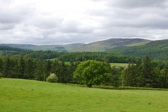
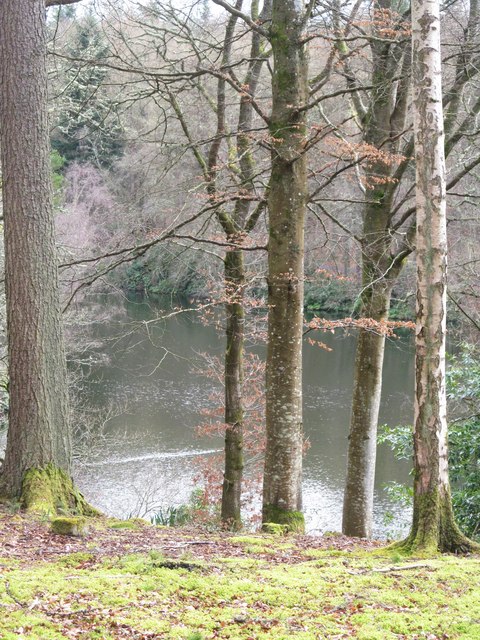
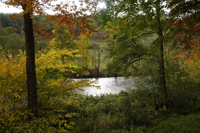
Upper Lake is a picturesque body of water located in Selkirkshire, a historic county in the Scottish Borders region of Scotland. Situated amidst stunning natural surroundings, this lake is renowned for its beauty and tranquility, making it a popular destination for nature enthusiasts and tourists alike.
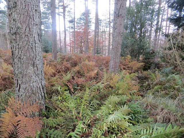
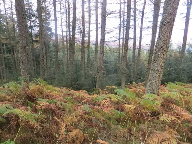
Stretching over an area of approximately 100 acres, Upper Lake is classified as a freshwater marsh due to its shallow depth and abundance of aquatic vegetation. It is primarily fed by a small stream that flows from the nearby hills, ensuring a constant supply of fresh water.
The lake is characterized by crystal-clear waters, which are home to a diverse range of aquatic life. Fish species such as brown trout and pike can be found here, attracting fishing enthusiasts looking for a relaxing day on the water. The lake's tranquil ambiance also makes it a haven for various bird species, including swans, ducks, and herons, which can often be spotted gracefully gliding across the water or nesting in the surrounding reeds.
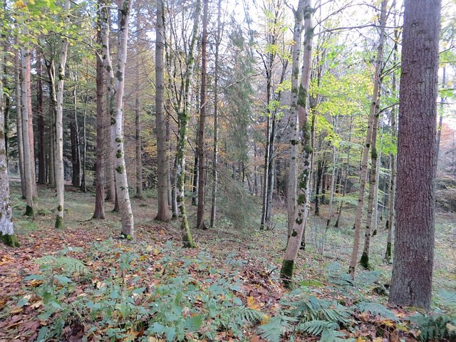
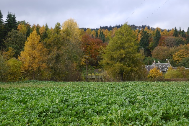
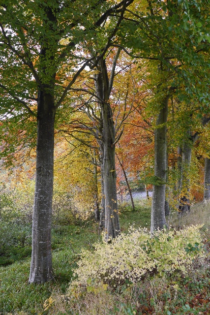
The surrounding area of Upper Lake is a haven for wildlife, with the lake serving as an essential habitat for many species. The tranquil atmosphere and lush vegetation provide an ideal environment for a variety of plants, insects, and amphibians, contributing to the overall ecological richness of the region.
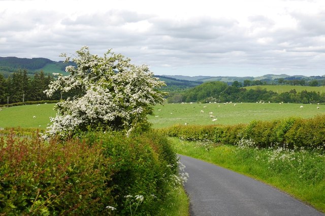
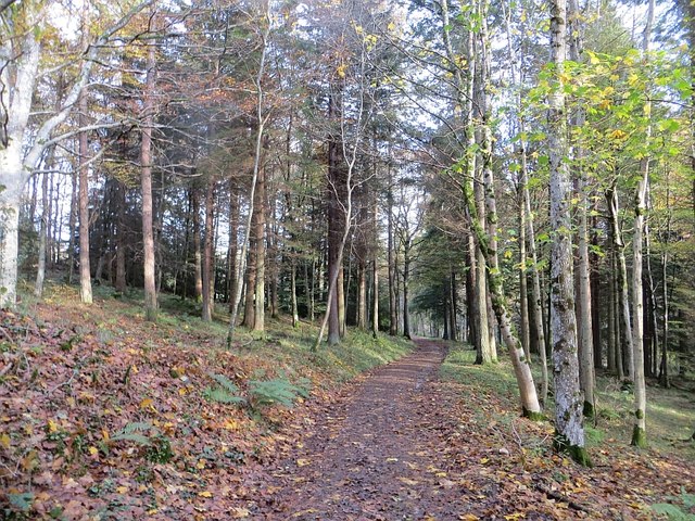
Visitors to Upper Lake can enjoy a range of recreational activities, including walking trails that meander along its shores, picnic spots providing idyllic views, and boating opportunities for those seeking a closer encounter with the water. The lake's natural beauty and peaceful ambiance make it a perfect destination for nature lovers and anyone seeking a respite from the hustle and bustle of daily life.
If you have any feedback on the listing, please let us know in the comments section below.
Upper Lake Images
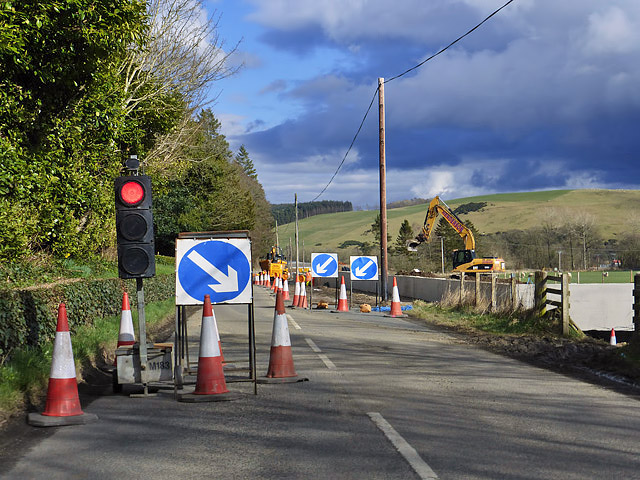
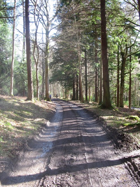
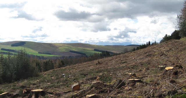
Images are sourced within 2km of 55.539501/-2.9070803 or Grid Reference NT4227. Thanks to Geograph Open Source API. All images are credited.
Upper Lake is located at Grid Ref: NT4227 (Lat: 55.539501, Lng: -2.9070803)
Unitary Authority: The Scottish Borders
Police Authority: The Lothians and Scottish Borders
What 3 Words
///stowing.manicured.recall. Near Selkirk, Scottish Borders
Nearby Locations
Related Wikis

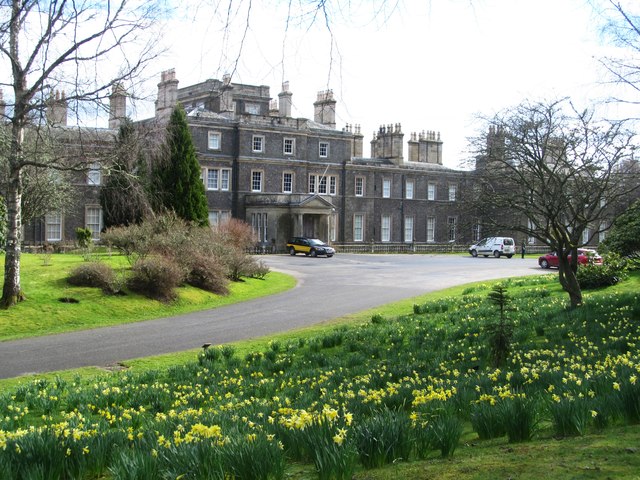
Bowhill House
Bowhill House is a historic house near Bowhill at Selkirk in the Scottish Borders area of Scotland. It is a member of the Historic Houses Association,...

Bowhill, Scottish Borders
Bowhill is a village off the A708, in the Scottish Borders area of Scotland, near Selkirk, by the Yarrow Water Other places nearby include Bowhill House...

Carterhaugh
Carterhaugh is a wood and farm near the confluence of the Yarrow Water and the Ettrick Water near Selkirk in the Scottish Borders. This real location...

Battle of Philiphaugh
The Battle of Philiphaugh was fought on 13 September 1645 during the Wars of the Three Kingdoms near Selkirk in the Scottish Borders. The Royalist army...
Philiphaugh
Philiphaugh is a village by the Yarrow Water, on the outskirts of Selkirk, in the Scottish Borders. Places nearby include Bowhill, Broadmeadows, the Ettrick...

Yarrow Water
The Yarrow Water is a river in the Borders in the south east of Scotland. It is a tributary of the Ettrick Water (itself a tributary of the Tweed) and...

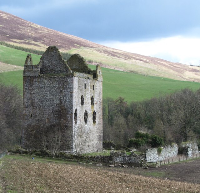
Newark Castle, Selkirkshire
Newark Tower is a large, ruined tower house standing in the grounds of Bowhill House, in the valley of the Yarrow Water three miles west of Selkirk in...

Aikwood Tower
Aikwood Tower (formerly known as Oakwood Tower) is a 16th-century tower house in the Scottish Borders area of Scotland, 4 miles (6 kilometres) southwest...
Nearby Amenities
Located within 500m of 55.539501,-2.9070803Have you been to Upper Lake?
Leave your review of Upper Lake below (or comments, questions and feedback).