Acorn Lakes
Lake, Pool, Pond, Freshwater Marsh in Somerset
England
Acorn Lakes
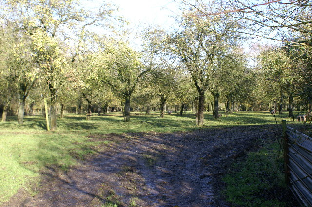
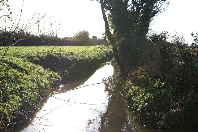
Acorn Lakes is a picturesque recreational area located in Somerset, England. Spread across a sprawling landscape, this serene destination offers a variety of aquatic features, including lakes, pools, ponds, and a freshwater marsh.
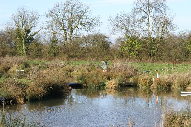
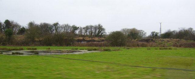
The main attraction of Acorn Lakes is its collection of beautifully maintained lakes. These expansive bodies of water are surrounded by lush greenery and provide a tranquil environment for fishing enthusiasts. The lakes are well-stocked with a variety of fish species, including carp, roach, perch, and bream, making it an ideal spot for anglers of all levels.
Additionally, Acorn Lakes boasts several smaller pools and ponds. These smaller water bodies offer a more intimate setting for fishing or simply enjoying the peaceful ambiance. They are also home to a diverse array of wildlife, including ducks, swans, and various species of waterfowl.
Situated within the complex is a freshwater marsh, which adds to the charm of Acorn Lakes. This marshland is characterized by its reeds, cattails, and other aquatic vegetation. It serves as a valuable habitat for numerous bird species, attracting birdwatchers from far and wide.
Acorn Lakes provides a range of amenities to enhance visitors' experiences. There are well-maintained fishing platforms and pegs, ensuring easy access and comfortable fishing conditions. The site also offers ample parking, toilet facilities, and a refreshment kiosk, providing convenience and comfort for all who visit.
Whether you are an avid angler, a nature lover, or simply seeking a peaceful retreat, Acorn Lakes in Somerset is a perfect destination for experiencing the beauty of aquatic ecosystems and enjoying the tranquility of nature.
If you have any feedback on the listing, please let us know in the comments section below.
Acorn Lakes Images
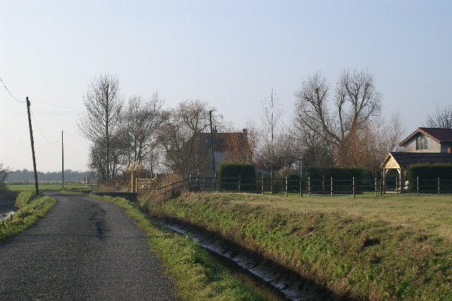
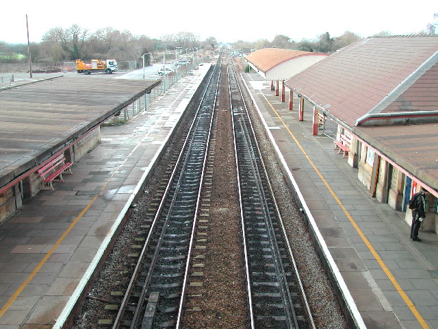
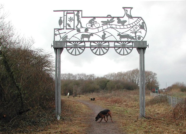
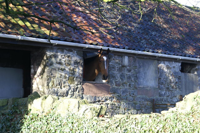
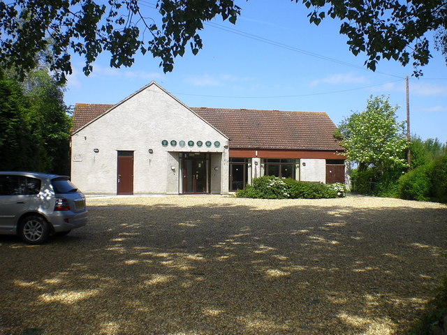
Images are sourced within 2km of 51.396803/-2.8528224 or Grid Reference ST4066. Thanks to Geograph Open Source API. All images are credited.
Acorn Lakes is located at Grid Ref: ST4066 (Lat: 51.396803, Lng: -2.8528224)
Unitary Authority: North Somerset
Police Authority: Avon and Somerset
What 3 Words
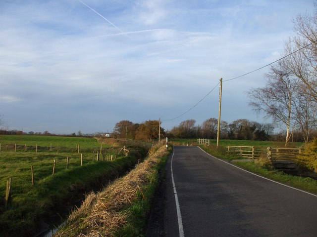
///window.narrow.unlisted. Near Kingston Seymour, Somerset
Nearby Locations
Related Wikis

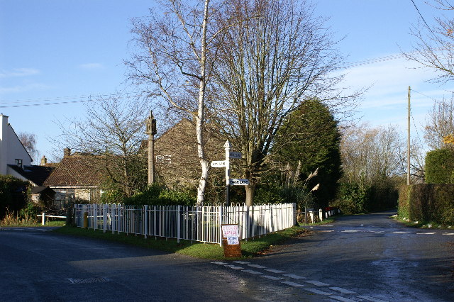
Kingston Seymour
Kingston Seymour is a small village and civil parish with royal status in Somerset, England. It is situated within the unitary authority of North Somerset...

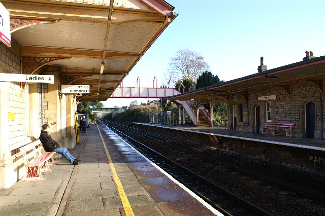
Yatton railway station
Yatton railway station, on the Bristol to Exeter line, is in the village of Yatton in North Somerset, England. It is 12 miles (19 km) west of Bristol Temple...

Broadstone railway station (Somerset)
Broadstone (Somerset) railway station was a very small halt on the Weston, Clevedon and Portishead Light Railway which operated in Somerset between 1918...

Yatton
Yatton is a village and civil parish within the unitary authority of North Somerset, which falls within the ceremonial county of Somerset, England. It...
Nearby Amenities
Located within 500m of 51.396803,-2.8528224Have you been to Acorn Lakes?
Leave your review of Acorn Lakes below (or comments, questions and feedback).