Colquhrookie Pot

Lake, Pool, Pond, Freshwater Marsh in Aberdeenshire

Scotland

Colquhrookie Pot

Craigie Shiels Looking towards the summit of Ben Newe.
Craigie Shiels Credit: Alan O'Dowd

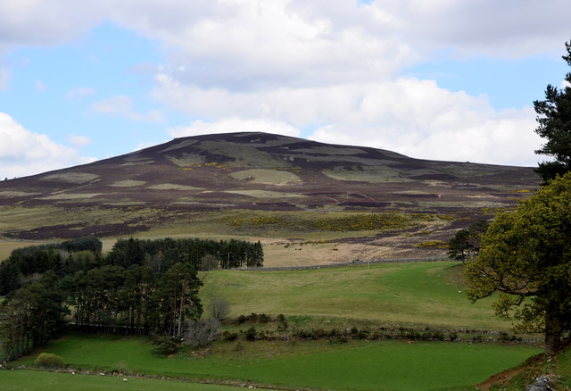
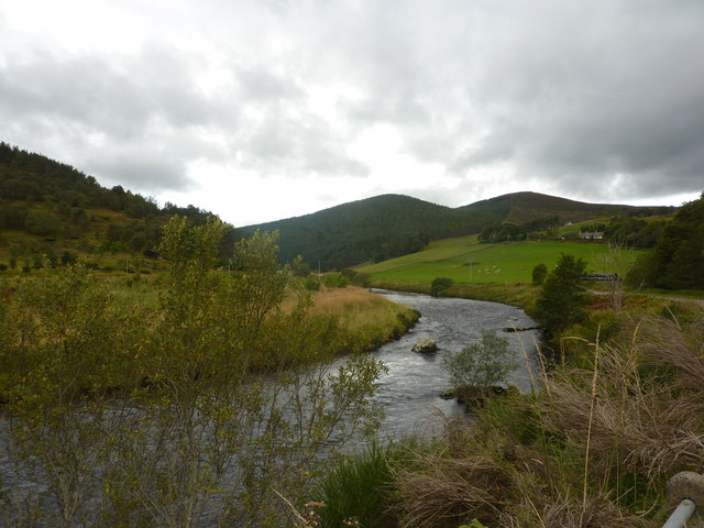
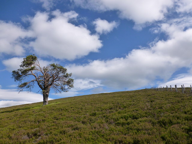
Colquhrookie Pot is a picturesque freshwater marsh located in Aberdeenshire, Scotland. Nestled amidst the rolling hills and lush greenery of the countryside, this tranquil water body is a haven for nature enthusiasts and wildlife lovers alike.

Covering an area of approximately 10 acres, Colquhrookie Pot is a captivating blend of a lake, pool, pond, and freshwater marsh. It is formed by a combination of natural springs, rainfall, and run-off from the surrounding land, giving it a unique and diverse ecosystem.

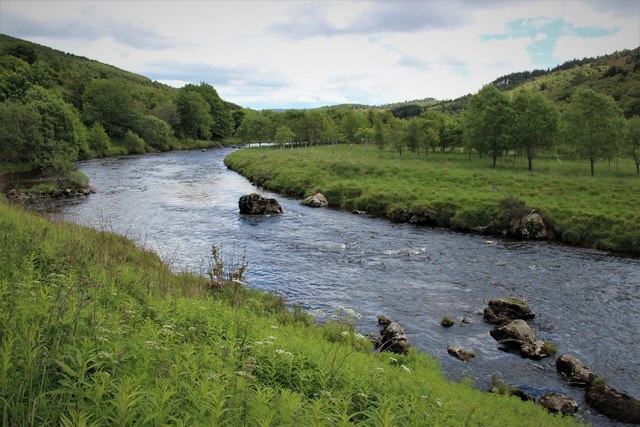
The pot is characterized by its calm, crystal-clear waters that reflect the surrounding landscape, creating a stunning vista. The marshy areas surrounding the water are home to a rich variety of plant species, including reeds, rushes, and water lilies, which provide a habitat for numerous bird species and other wildlife.

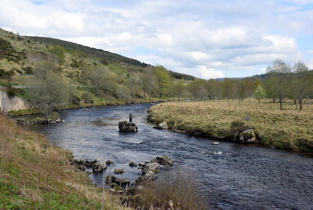
Birdwatchers flock to Colquhrookie Pot to catch a glimpse of rare and migratory species, such as herons, swans, ducks, and geese, which can be seen gracefully gliding across the water or nesting in the surrounding vegetation. The pot also supports a healthy population of fish, including trout and perch, attracting anglers who enjoy a peaceful day of fishing.

Visitors can explore the area by following the well-maintained footpaths that wind their way around the pot, providing access to various viewpoints and picnic spots. The serene atmosphere and breathtaking scenery make it an ideal location for a leisurely stroll or a peaceful retreat.

Colquhrookie Pot, with its blend of water bodies and marshland, offers a haven for both wildlife and humans seeking solace in nature's beauty. It is a true gem in the Aberdeenshire countryside, enticing visitors with its tranquility and abundant wildlife.

If you have any feedback on the listing, please let us know in the comments section below.

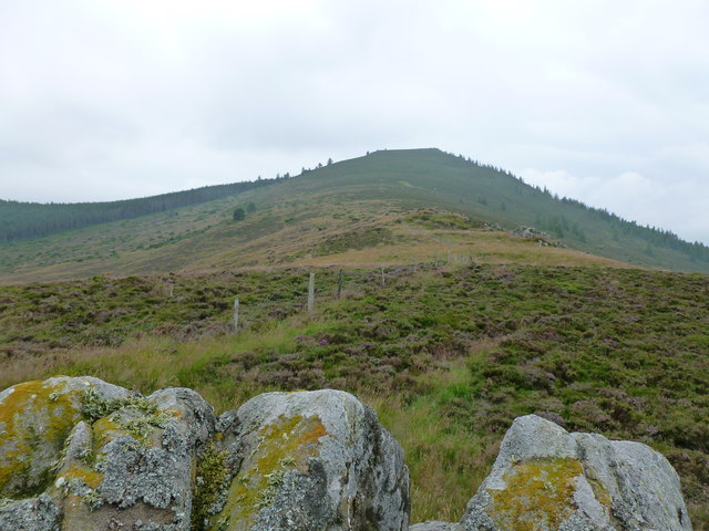
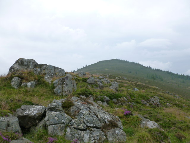
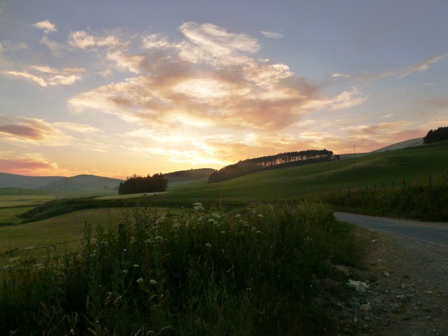
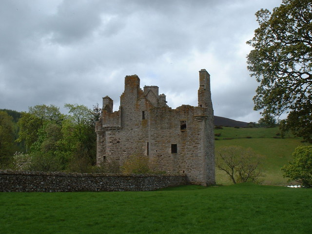
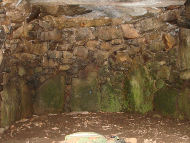
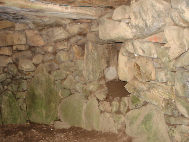
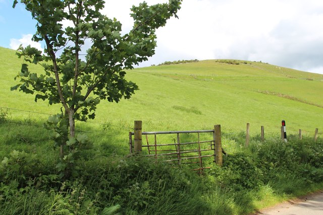
Colquhrookie Pot Images

Images are sourced within 2km of 57.220365/-2.9907612 or Grid Reference NJ4014. Thanks to Geograph Open Source API. All images are credited.

Craigie Shiels Looking towards the summit of Ben Newe.
Craigie Shiels
Looking towards the summit of Ben Newe.
Ben Newe Looking up the crest of the hill to the summit.
Ben Newe
Looking up the crest of the hill to the summit.
Glen Buchat sunset Taken from close to the entrance to Blackhillock.
Glen Buchat sunset
Taken from close to the entrance to Blackhillock.
Glenbuchat Castle  An historic Z plan Scottish castle built in 1590 for John Gordon of Cairnbarrow to mark his wedding. It is located above the River Don, near Kildrummy, Aberdeenshire.
Glenbuchat Castle
An historic Z plan Scottish castle built in 1590 for John Gordon of Cairnbarrow to mark his wedding. It is located above the River Don, near Kildrummy, Aberdeenshire.
Glenbuchat Castle An historic Z plan Scottish castle built in 1590 for John Gordon of Cairnbarrow to mark his wedding. It is located above the River Don, near Kildrummy, Aberdeenshire.
Glenbuchat Castle
An historic Z plan Scottish castle built in 1590 for John Gordon of Cairnbarrow to mark his wedding. It is located above the River Don, near Kildrummy, Aberdeenshire.
Glenbuchat Castle A fine example of a Z-plan tower house, built in 1590. Its last laird, John Gordon, was a notable Jacobite.

The castle is maintained by Historic Scotland, but is closed until further notice due to unsafe masonry, and is not expected to open until spring 2017. There is currently some Heras fencing restricting access.
Glenbuchat Castle
A fine example of a Z-plan tower house, built in 1590. Its last laird, John Gordon, was a notable Jacobite. The castle is maintained by Historic Scotland, but is closed until further notice due to unsafe masonry, and is not expected to open until spring 2017. There is currently some Heras fencing restricting access.
View into Glenbuchat Looking towards the Water of Buchat from Glenbuchat Castle.
View into Glenbuchat
Looking towards the Water of Buchat from Glenbuchat Castle.
Glenkindie souterrain The way into the souterrain at Gelnkindie - Sept.2007.
Glenkindie souterrain
The way into the souterrain at Gelnkindie - Sept.2007.
Glenkindie souterrain End chamber in Glenkindie souterrain - June,2008.
Glenkindie souterrain
End chamber in Glenkindie souterrain - June,2008.
Glenkindie souterrain Entrance to a side chamber in Glenkindie souterrain - Sept.2007.
Glenkindie souterrain
Entrance to a side chamber in Glenkindie souterrain - Sept.2007.
Old Milestone by the A97 near Bridge of Buchat Aberdeen granite milestone by the A97, in parish of Glenbuchat (Grampian District), Glenbuchat, West of bridge over Water of Buchat.

Inscription reads:-
40
(To Aberdeen)

Surveyed

Milestone Society National ID: AD_SDCB40
Old Milestone by the A97 near Bridge of Buchat
Aberdeen granite milestone by the A97, in parish of Glenbuchat (Grampian District), Glenbuchat, West of bridge over Water of Buchat. Inscription reads:- 40 (To Aberdeen) Surveyed Milestone Society National ID: AD_SDCB40
Field gate on Easter Buchat farm
A bend in the River Don
Fly fisherman in the Don A fly fisherman wading in the River Don at Bridge of Buchat.
Fly fisherman in the Don
A fly fisherman wading in the River Don at Bridge of Buchat.
Millhuie Hill... ...in Glen Buchat.
Millhuie Hill...
...in Glen Buchat.
Sheep on the slope... ...taken from the road into Glen Buchat, which just cuts into the corner of the grid-square.
Sheep on the slope...
...taken from the road into Glen Buchat, which just cuts into the corner of the grid-square.
River Don at Glenbuchat
Lone tree on Millhuie Hill A pleasant hillside of heather moorland with a population of red deer.
Lone tree on Millhuie Hill
A pleasant hillside of heather moorland with a population of red deer.
Show me another place!

Colquhrookie Pot is located at Grid Ref: NJ4014 (Lat: 57.220365, Lng: -2.9907612)

Unitary Authority: Aberdeenshire

Police Authority: North East

What 3 Words

///outbursts.incoming.colder. Near Alford, Aberdeenshire

Related Wikis

Nearby Amenities

Located within 500m of 57.220365,-2.9907612
Parking
Fee: no
Parking: surface
Lat/Long: 57.2209991/-2.9978537
Power: pole
Lat/Long: 57.2183005/-2.9967403
Power: pole
Lat/Long: 57.2188541/-2.9957837
Power: pole
Lat/Long: 57.2193659/-2.9948839
Power: pole
Lat/Long: 57.2195099/-2.9940817
Power: pole
Lat/Long: 57.2196673/-2.9932069
Power: pole
Lat/Long: 57.219842/-2.9921685
Power: pole
Lat/Long: 57.2198187/-2.9942703
Power: pole
Lat/Long: 57.2202825/-2.9945771
Power: pole
Lat/Long: 57.2206835/-2.9948407
Power: pole
Lat/Long: 57.2208988/-2.994977
Power: pole
Lat/Long: 57.2215926/-2.9954269
Power: pole
Lat/Long: 57.2222877/-2.9958655
Power: pole
Lat/Long: 57.222952/-2.9963018
Power: pole
Lat/Long: 57.2235191/-2.9966744
Power: pole
Lat/Long: 57.2200684/-2.9957746
Power: pole
Lat/Long: 57.2198703/-2.9969903
Power: pole
Lat/Long: 57.2196686/-2.99819
Power: pole
Lat/Long: 57.2194324/-2.9910414
Power: pole
Lat/Long: 57.2190171/-2.9899462
Power: pole
Lat/Long: 57.2186161/-2.9888418
Power: pole
Lat/Long: 57.2182261/-2.9877398
Power: pole
Lat/Long: 57.2178164/-2.9866514
Power: pole
Lat/Long: 57.217387/-2.9854902
The data included in this document is from www.openstreetmap.org. The data is made available under ODbL.

Have you been to Colquhrookie Pot?

Leave your review of Colquhrookie Pot below (or comments, questions and feedback).