Green Wood
Wood, Forest in Aberdeenshire
Scotland
Green Wood

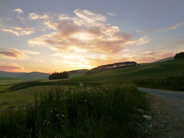
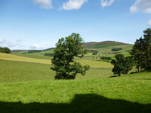
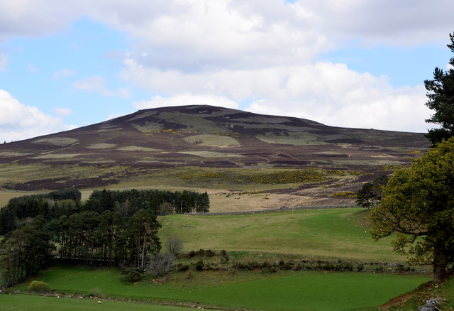
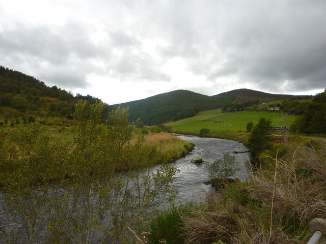
Green Wood is a picturesque forest located in Aberdeenshire, Scotland. Spanning over a vast area, it is a popular destination for nature enthusiasts and hikers alike. The forest is known for its lush greenery, diverse flora, and enchanting wildlife.
One of the defining features of Green Wood is its dense canopy of trees, which consists primarily of evergreen species such as Scots pine and Douglas fir. The forest floor is carpeted with a variety of mosses, ferns, and wildflowers, adding to its natural beauty. As visitors explore the woodland, they are greeted with the soothing sounds of birds chirping and the gentle rustling of leaves.
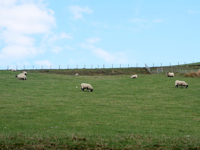
The forest offers a network of well-maintained trails, enabling visitors to explore its natural wonders. These trails cater to different levels of fitness and provide opportunities for leisurely walks, challenging hikes, or even mountain biking. Along the trails, visitors may come across wildlife such as red squirrels, roe deer, and a variety of bird species.
Green Wood is not only a haven for nature lovers but also serves as an important ecosystem. The forest plays a crucial role in maintaining the ecological balance of the region, providing habitat for numerous species and contributing to the overall health of the environment.
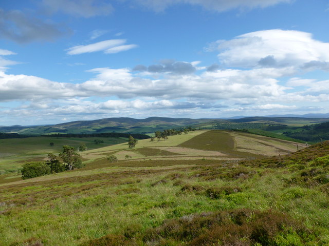
Overall, Green Wood in Aberdeenshire is a captivating forest that offers a serene escape from the hustle and bustle of everyday life. With its breathtaking landscape, abundant wildlife, and well-maintained trails, it is an ideal destination for those seeking a peaceful retreat in nature.
If you have any feedback on the listing, please let us know in the comments section below.
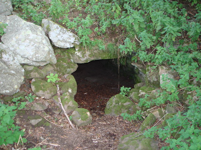
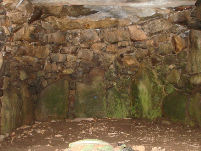
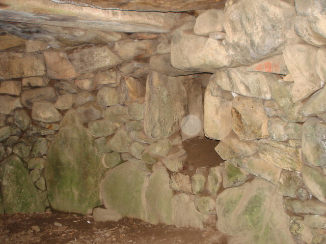
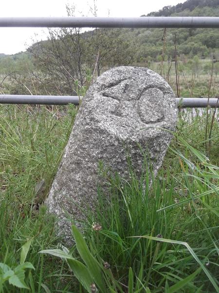
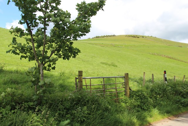
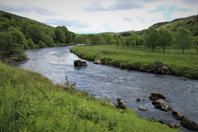
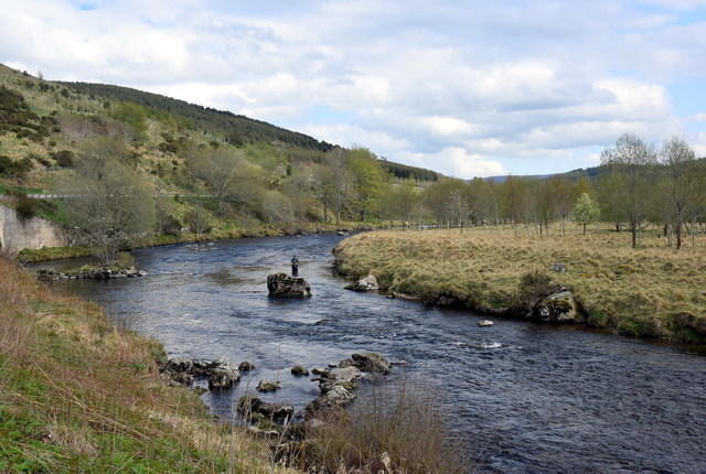
Green Wood Images
Images are sourced within 2km of 57.215856/-2.9871963 or Grid Reference NJ4014. Thanks to Geograph Open Source API. All images are credited.

Green Wood is located at Grid Ref: NJ4014 (Lat: 57.215856, Lng: -2.9871963)
Unitary Authority: Aberdeenshire
Police Authority: North East
What 3 Words
///chew.forgiving.inhaler. Near Alford, Aberdeenshire
Nearby Locations
Related Wikis

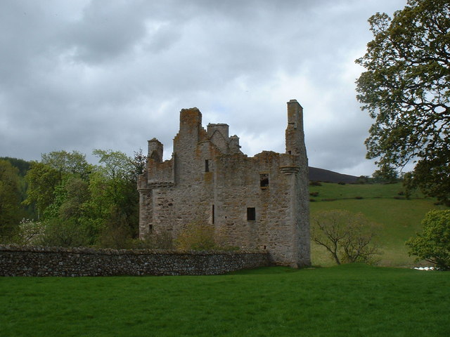
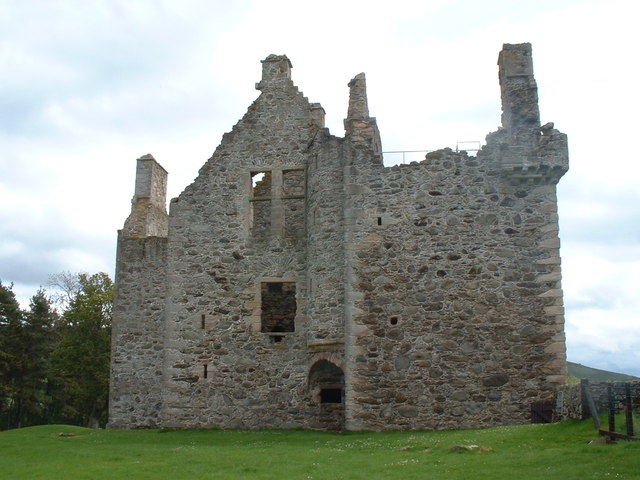
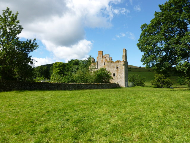
Glenbuchat Castle
Glenbuchat Castle is a historic Z plan Scottish castle built in 1590 for John Gordon of Cairnbarrow to mark his wedding. It is located above the River...

Grampian
Grampian (Scottish Gaelic: Roinn a' Mhonaidh) was one of nine former local government regions of Scotland created in 1975 by the Local Government (Scotland...

Glenkindie Castle
Glenkindie Castle was a 16th-century castle, about 3 miles (4.8 km) south-west of Kildrummy, Aberdeenshire, Scotland, at Glenkindie, north of the River...
Castle Newe
Castle Newe was a castellated mansion house, situated in Aberdeenshire, and designed in 1831 by Archibald Simpson. It was based on an existing Z-plan castle...
Nearby Amenities
Located within 500m of 57.215856,-2.9871963Have you been to Green Wood?
Leave your review of Green Wood below (or comments, questions and feedback).