Craig Pot
Lake, Pool, Pond, Freshwater Marsh in Banffshire
Scotland
Craig Pot

Craig Pot is a picturesque freshwater marsh located in Banffshire, Scotland. Nestled amidst the stunning natural surroundings of the region, it offers visitors a serene and tranquil retreat. The name "Craig Pot" derives from the Gaelic words "craig" meaning rock and "pot" meaning a small pool or pond, aptly describing the landscape of this hidden gem.
The main feature of Craig Pot is a beautiful lake that spans across a vast area. Its crystal-clear waters are fed by natural springs and streams, ensuring a constant flow of fresh water. The lake provides a habitat for various aquatic plants, including water lilies and reeds, adding to its scenic beauty. It is also home to a diverse range of fish species, attracting fishing enthusiasts from far and wide.
Surrounding the lake is a lush and verdant pool, offering a haven for numerous bird species. Birdwatchers can spot a variety of waterfowl, such as ducks, geese, and herons, as well as migratory birds that visit the area during certain seasons. The pool is also teeming with smaller aquatic creatures, creating a thriving ecosystem.
Adjacent to the pool is a small pond, which acts as a refuge for amphibians and reptiles. Frogs, toads, and newts can be found here, as well as various species of turtles and snakes. This pond serves as a valuable breeding ground for these creatures, contributing to the overall biodiversity of the area.
Overall, Craig Pot in Banffshire is a nature lover's paradise, offering a combination of a serene lake, a vibrant pool, and a thriving pond. Its diverse ecosystem and scenic beauty make it a must-visit destination for those seeking a peaceful and immersive experience in nature.
If you have any feedback on the listing, please let us know in the comments section below.
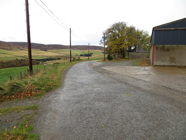
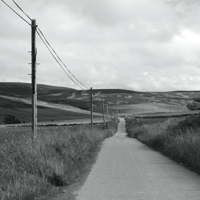
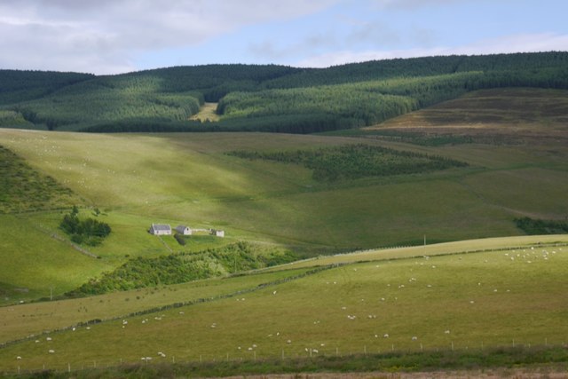
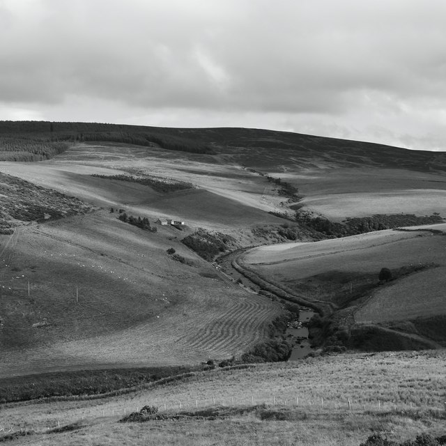
Craig Pot Images
Images are sourced within 2km of 57.386552/-2.9959397 or Grid Reference NJ4033. Thanks to Geograph Open Source API. All images are credited.


Craig Pot is located at Grid Ref: NJ4033 (Lat: 57.386552, Lng: -2.9959397)
Unitary Authority: Moray
Police Authority: North East
What 3 Words
///drill.lifts.opposites. Near Dufftown, Moray
Nearby Locations
Related Wikis

Beldorney Castle
Beldorney Castle is a Z-plan castle dating from the mid-16th century, about two miles south of Glass, in hilly country in the valley of the Deveron, in...

Wormy Hillock Henge
Wormy Hillock Henge, also known as The Dragon's Grave, is a small henge in Aberdeenshire, Scotland. It is a Scheduled Ancient Monument located in the Clashindarroch...

Glass, Aberdeenshire
Glass is a parish about 8 miles west of Huntly, Aberdeenshire, Scotland. It is now wholly located in Aberdeenshire but before the reorganisation of Scottish...

Cabrach
The Cabrach (Scottish Gaelic: A' Chabrach, A' Chabraich) is an estate and largely depopulated rural community in Moray, Scotland. The meaning of the name...
Auchindoun Castle
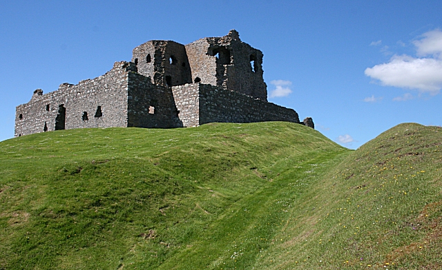
Auchindoun Castle is a 15th-century L-Plan tower castle located in Auchindoun near Dufftown in Moray, Scotland. == History == While there is evidence of...
Blairmore School
Blairmore School was an independent boarding preparatory school in Glass near Huntly, Aberdeenshire until its closure in 1993. The site is now owned and...

Clashindarroch Forest
Clashindarroch Forest is possibly the largest forest in Aberdeenshire, situated to the south-west of the market town of Huntly. Managed by Forest Enterprise...
Auchindoun, Moray
Auchindoun (Scottish Gaelic: Achadh an Dùin) is a rural hamlet in Moray, Scotland. It is located some 2.5 miles east of Dufftown, which describes itself...
Nearby Amenities
Located within 500m of 57.386552,-2.9959397Have you been to Craig Pot?
Leave your review of Craig Pot below (or comments, questions and feedback).