Wax Pool
Lake, Pool, Pond, Freshwater Marsh in Cumberland Carlisle
England
Wax Pool
Wax Pool is a small freshwater marsh located in Cumberland, a region known for its diverse wetlands in the southeastern United States. Spanning an area of approximately 10 acres, the pool lies adjacent to Cumberland Lake, providing a vital habitat for various aquatic plants and animal species.
Surrounded by dense vegetation, Wax Pool serves as a vital breeding ground and sanctuary for several species of waterfowl. Bird enthusiasts frequent the area to observe the diverse avian population, which includes ducks, herons, egrets, and occasionally even bald eagles. The pool's calm waters and abundant food sources attract these species, making it a prime spot for birdwatching.
The pool's ecosystem is characterized by a rich diversity of aquatic plants, including cattails, water lilies, and various submerged vegetation. These plants not only provide food and shelter for the resident wildlife but also contribute to the overall health of the marsh ecosystem.
Wax Pool also plays a significant role in Cumberland's hydrology. It acts as a natural filtration system, removing excess nutrients and sediment from the water, leading to improved water quality in the surrounding area. Additionally, the pool helps regulate water levels and prevent flooding during periods of heavy rain, providing a valuable service to the local community.
Overall, Wax Pool is a crucial component of Cumberland's wetland ecosystem, supporting a wide range of plant and animal life while also serving important ecological functions. Its serene beauty and diverse wildlife make it a popular destination for nature enthusiasts and a valuable asset to the region.
If you have any feedback on the listing, please let us know in the comments section below.
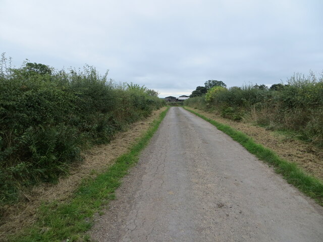
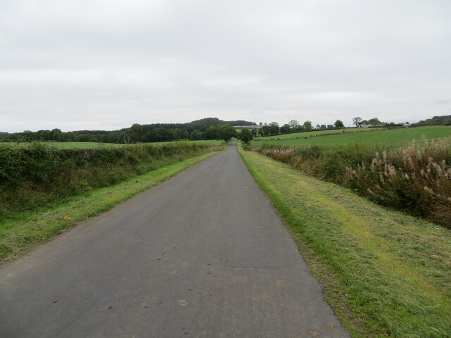
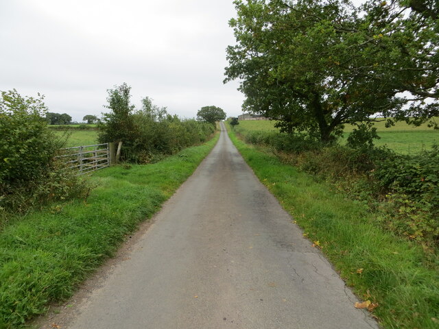
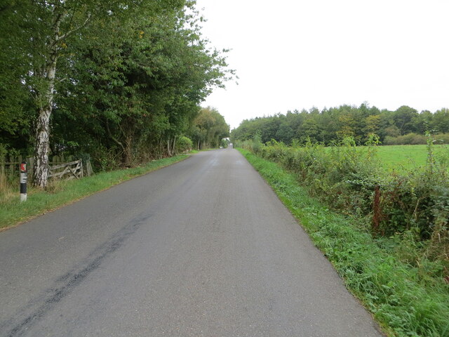
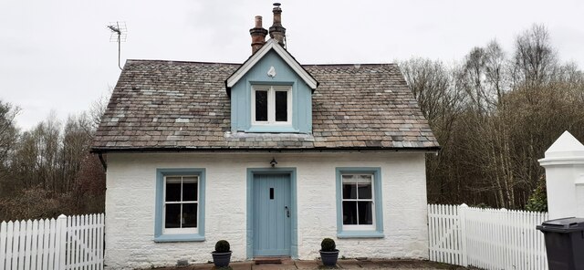
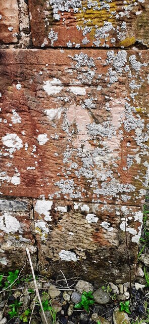
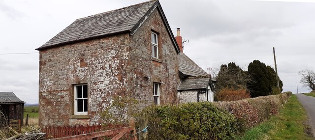
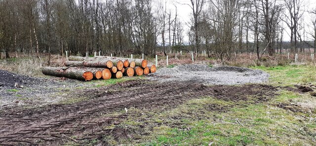
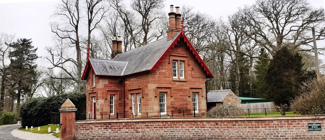
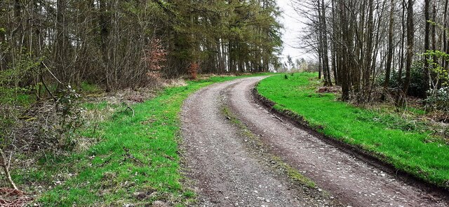
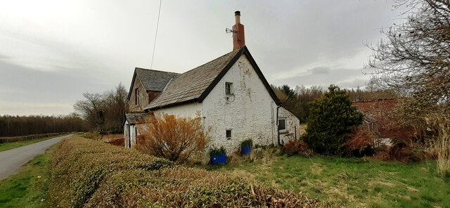
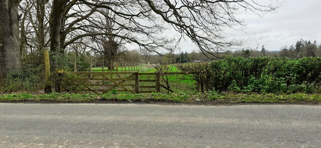
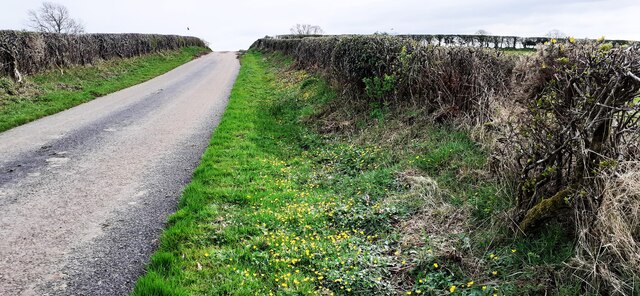
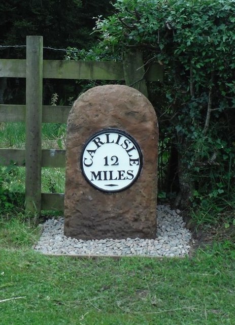
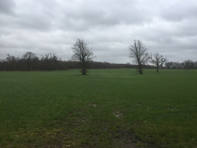
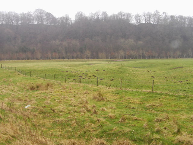
Wax Pool Images
Images are sourced within 2km of 55.041859/-2.9436215 or Grid Reference NY3972. Thanks to Geograph Open Source API. All images are credited.


Wax Pool is located at Grid Ref: NY3972 (Lat: 55.041859, Lng: -2.9436215)
Administrative County: Cumbria
District: Carlisle
Police Authority: Cumbria
What 3 Words
///rebounds.removals.crest. Near Longtown, Cumbria
Nearby Locations
Related Wikis

Carwinley
Carwinley is a hamlet in Cumbria, England, located on the border with Scotland. It was first mentioned in 1202 as Karwindelhov.The ancient monument of...

Liddel Water
Liddel Water is a river running through southern Scotland and northern England, for much of its course forming the border between the two countries, and...

Scotch Dyke railway station
Scotch Dyke railway station was a railway station in Cumberland close to the Scots' Dike, the traditional border with Scotland. == History == The station...

Coop House, Netherby
Coop House, near Netherby in Cumbria, England, is a small building by the River Esk, erected about 1772 as part of a salmon fishery project, and restored...
Liddel Strength
Liddel Strength is an ancient monument near Carwinley, Cumbria, in northwest England. It consists of the earthwork remains of an Anglo-Norman border fortification...

Riddings Junction railway station
Riddings Junction railway station was a railway station in Cumbria, England, from 1862 to 1967 on the Border Union Railway. == History == The station opened...
Battle of Arfderydd
The Battle of Arfderydd (also known as Arderydd) was fought in medieval Britain in AD 573, according to the Annales Cambriae. The opposing armies are identified...

Arthuret
Arthuret is a civil parish in the Carlisle district of Cumbria, England. According to the 2001 census it had a population of 2,434, increasing to 2,471...
Have you been to Wax Pool?
Leave your review of Wax Pool below (or comments, questions and feedback).