Redbank Wood

Wood, Forest in Cumberland Carlisle

England

Redbank Wood

Hedge-lined minor road approaching Oakshaw Hill Looking south-eastward.
Hedge-lined minor road approaching Oakshaw Hill Credit: Peter Wood

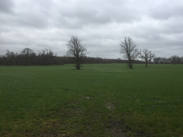
Redbank Wood is an enchanting forest located in the picturesque region of Cumberland, England. With an area spanning approximately 200 acres, it is nestled within the stunning landscape of the Lake District National Park. The wood is renowned for its rich biodiversity, consisting of a diverse range of tree species, flora, and fauna.

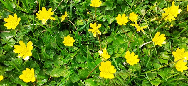
The towering trees in Redbank Wood form a dense canopy, creating a tranquil and serene atmosphere. The wood is predominantly composed of native tree species such as oak, beech, and birch, providing a habitat for a variety of woodland birds, mammals, and insects. The forest floor is adorned with an array of vibrant wildflowers, mosses, and ferns, adding to the natural beauty of the surroundings.

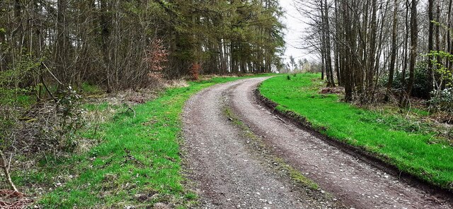
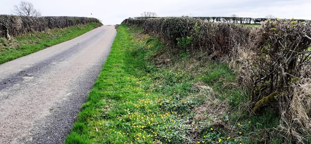
Visitors to Redbank Wood can explore a network of well-maintained walking trails that wind through the forest, allowing them to immerse themselves in its peaceful ambiance. These trails offer breathtaking views of the surrounding countryside, with glimpses of the nearby fells and valleys. The wood is popular among nature enthusiasts, hikers, and photographers, who are drawn to its scenic landscapes and abundant wildlife.

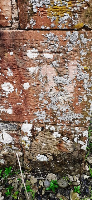
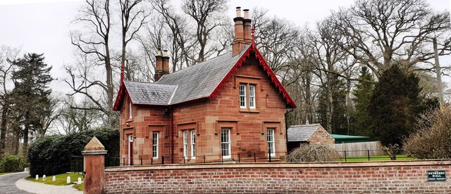
In addition to its natural beauty, Redbank Wood also holds historical significance. The wood has remnants of ancient settlements and features, including old stone walls and the remains of charcoal pits, providing a glimpse into the area's past.

Overall, Redbank Wood is a haven for nature lovers and those seeking solace in the great outdoors. Its awe-inspiring beauty and diverse ecosystems make it a must-visit destination for anyone exploring the picturesque region of Cumberland.

If you have any feedback on the listing, please let us know in the comments section below.
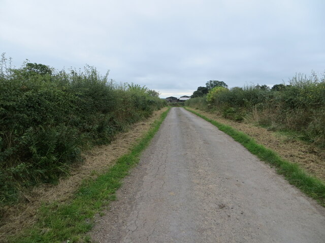
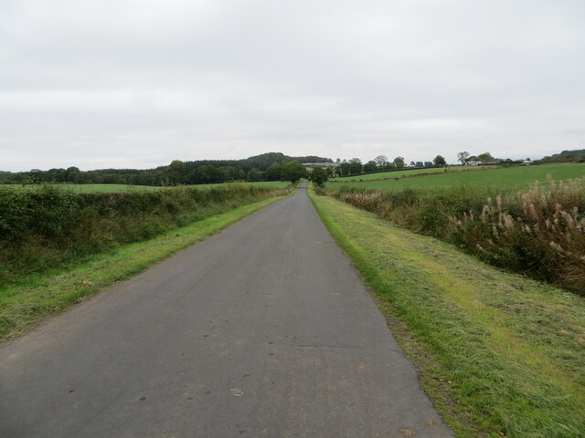
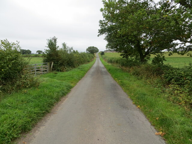
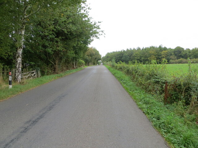
Redbank Wood Images

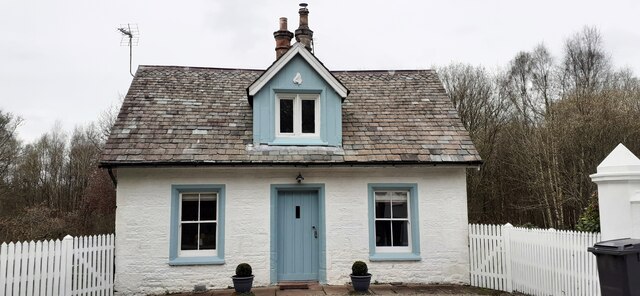
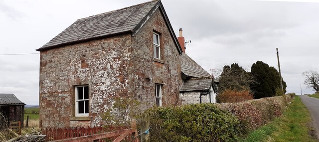
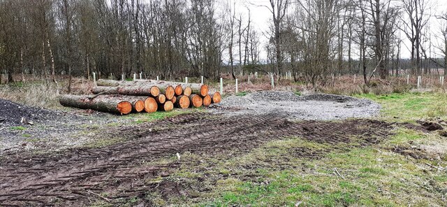
Images are sourced within 2km of 55.040092/-2.9432826 or Grid Reference NY3972. Thanks to Geograph Open Source API. All images are credited.

Hedge-lined minor road approaching Oakshaw Hill Looking south-eastward.
Hedge-lined minor road approaching Oakshaw Hill
Looking south-eastward.
Hedge-lined minor road approaching Glencroft Looking north-eastward.
Hedge-lined minor road approaching Glencroft
Looking north-eastward.
Hedge-lined minor road approaching Heatheryknowe Looking south-eastward.
Hedge-lined minor road approaching Heatheryknowe
Looking south-eastward.
Tree and hedge-lined minor road heading towards Kirkandrews Moat Looking north-eastward.
Tree and hedge-lined minor road heading towards Kirkandrews Moat
Looking north-eastward.
North Lodge, Netherby Estate
Benchmark on Hogknowe Cottage Ordnance Survey cut mark benchmark levelled at 71.790m above Newlyn Datum verified 1955
Benchmark on Hogknowe Cottage
Ordnance Survey cut mark benchmark levelled at 71.790m above Newlyn Datum verified 1955
Hogknowe Cottage on NW side of rural road There is an Ordnance Survey benchmark <a href="https://www.geograph.org.uk/photo/7147447">NY4072 : Benchmark on Hogknowe Cottage</a> on the near corner, left hand face, of the house
Hogknowe Cottage on NW side of rural road
There is an Ordnance Survey benchmark NY4072 : Benchmark on Hogknowe Cottage on the near corner, left hand face, of the house
Cows feeding in barn at Oakshaw Hill
Pile of logs in Foultown Wood
Middle Lodge, Netherby Hall
Track through Foultown Wood
Hogknowe Cottage on NW side of rural road
Field gateway on NW side of rural road NE of Middle Lodge
Rural road north of Oakshaw Hill with celendine on verge
Celandine on western verge of road north of Oakshaw Hill
Farmhouse at Oakshaw Hill
Old Milestone by Moat Vale Metal plate attached to stone post by the UC road, in parish of KIRKANDREWS (CARLISLE District), Moat Common, Carwinley, on grass verge, on East side of road. Carlisle round iron plate, erected by the Longtown, Snab & Haithwaite Bridge turnpike trust in the 19th century. 

Inscription reads:-
CARLISLE
12
MILES
-

Grade II Listed. List Entry Number: 1205452
<span class="nowrap"><a title="https://historicengland.org.uk/listing/the-list/list-entry/1205452" rel="nofollow ugc noopener" href="https://historicengland.org.uk/listing/the-list/list-entry/1205452">Link</a><img style="margin-left:2px;" alt="External link" title="External link - shift click to open in new window" src="https://s1.geograph.org.uk/img/external.png" width="10" height="10"/></span>

Milestone Society National ID: CU_CLHW12.
Old Milestone by Moat Vale
Metal plate attached to stone post by the UC road, in parish of KIRKANDREWS (CARLISLE District), Moat Common, Carwinley, on grass verge, on East side of road. Carlisle round iron plate, erected by the Longtown, Snab & Haithwaite Bridge turnpike trust in the 19th century. Inscription reads:- CARLISLE 12 MILES - Grade II Listed. List Entry Number: 1205452 LinkExternal link Milestone Society National ID: CU_CLHW12.
Parkland, Netherby Surrounded by Cistern Wood.
Parkland, Netherby
Surrounded by Cistern Wood.
Show me another place!

Redbank Wood is located at Grid Ref: NY3972 (Lat: 55.040092, Lng: -2.9432826)

Administrative County: Cumbria

District: Carlisle

Police Authority: Cumbria

What 3 Words

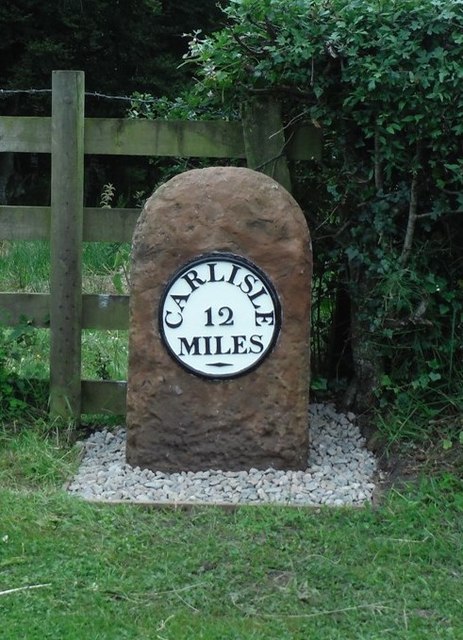
///enclosing.glare.rescue. Near Longtown, Cumbria

Related Wikis

Carwinley

Carwinley is a hamlet in Cumbria, England, located on the border with Scotland. It was first mentioned in 1202 as Karwindelhov.The ancient monument of...

Scotch Dyke railway station

Scotch Dyke railway station was a railway station in Cumberland close to the Scots' Dike, the traditional border with Scotland. == History == The station...

Liddel Water

Liddel Water is a river running through southern Scotland and northern England, for much of its course forming the border between the two countries, and...

Coop House, Netherby

Coop House, near Netherby in Cumbria, England, is a small building by the River Esk, erected about 1772 as part of a salmon fishery project, and restored...

Nearby Amenities

Located within 500m of 55.040092,-2.9432826
Power: pole
Lat/Long: 55.0367487/-2.9483484
The data included in this document is from www.openstreetmap.org. The data is made available under ODbL.

Have you been to Redbank Wood?

Leave your review of Redbank Wood below (or comments, questions and feedback).