Loch of Brockan

Lake, Pool, Pond, Freshwater Marsh in Orkney

Scotland

Loch of Brockan

Ruined church, Hackland, Orkney In the OS Name Book of 1879-80 this is described as the parish church of Rendall.
Ruined church, Hackland, Orkney Credit: Claire Pegrum

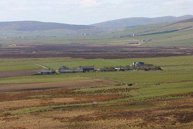
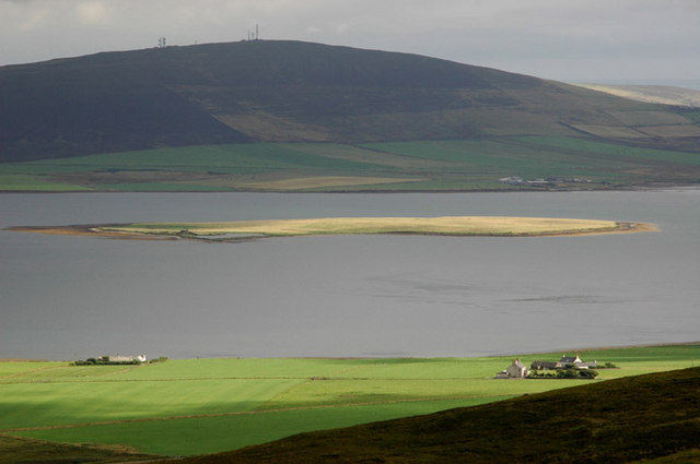
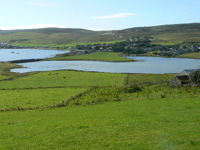
Loch of Brockan is a picturesque freshwater loch located in the Orkney Islands, Scotland. It is situated in the parish of Harray, approximately 4 miles northwest of the town of Stromness. Covering an area of around 1.5 hectares, the loch is nestled amidst rolling hills and offers stunning panoramic views of the surrounding countryside.

The Loch of Brockan is renowned for its tranquil and serene atmosphere. Its crystal-clear waters are fed by natural springs and rainwater, ensuring a constant flow of fresh water. The loch is home to a diverse range of flora and fauna, making it a haven for nature enthusiasts.

The surrounding marshland is abundant with various species of water plants, including water lilies and reeds, creating a vibrant and colorful landscape. This marshland provides a vital habitat for numerous bird species, such as ducks, swans, and herons, which can often be spotted gracefully gliding across the water's surface.

The loch also attracts anglers from all over, as it is known for its healthy population of brown trout. Fishing is a popular activity here, with anglers trying their luck from the banks or using small boats to venture out into the loch.

Visitors to Loch of Brockan can enjoy the peaceful ambiance and take leisurely walks around the loch, basking in the natural beauty and observing the abundant wildlife. It is a perfect spot for picnics and offers a welcome escape from the hustle and bustle of everyday life. Loch of Brockan truly exemplifies the unspoiled beauty of the Orkney Islands.

If you have any feedback on the listing, please let us know in the comments section below.

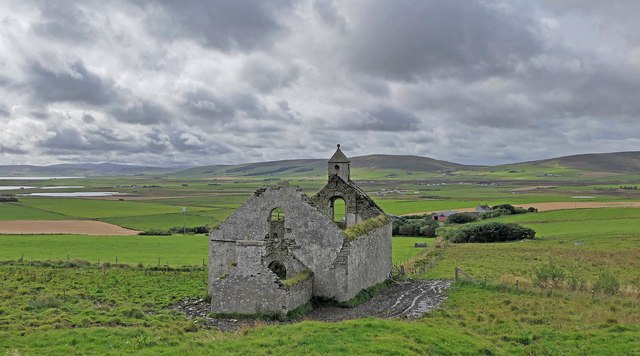
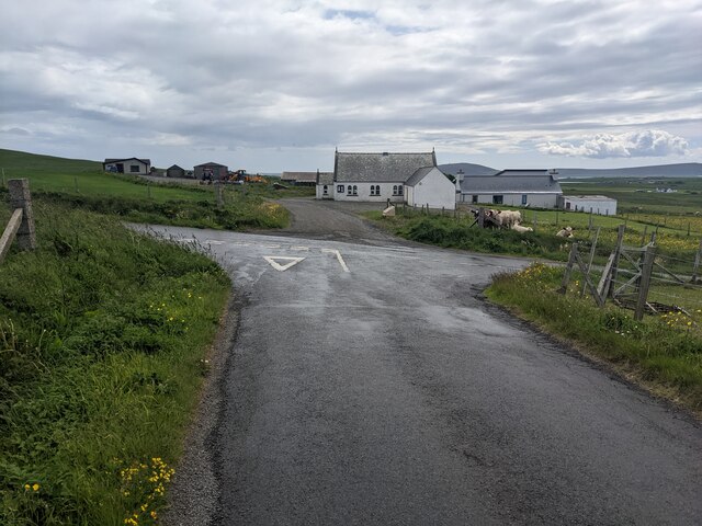
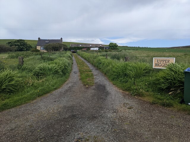
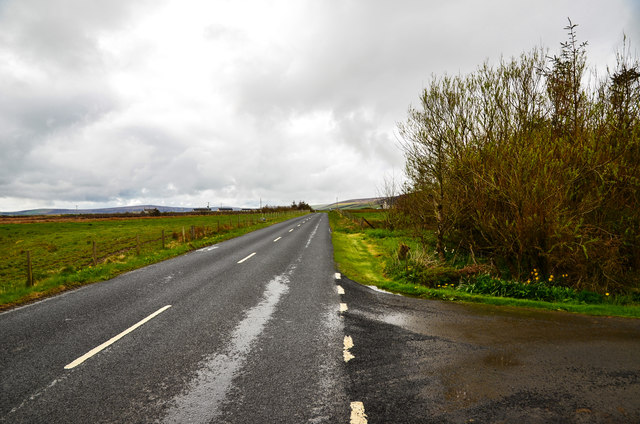
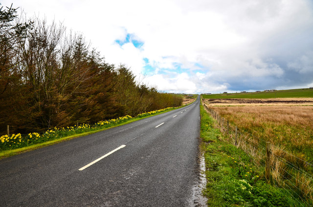
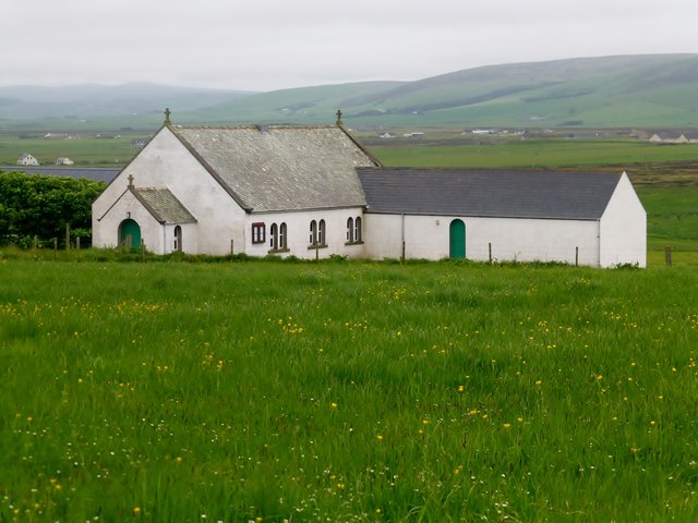
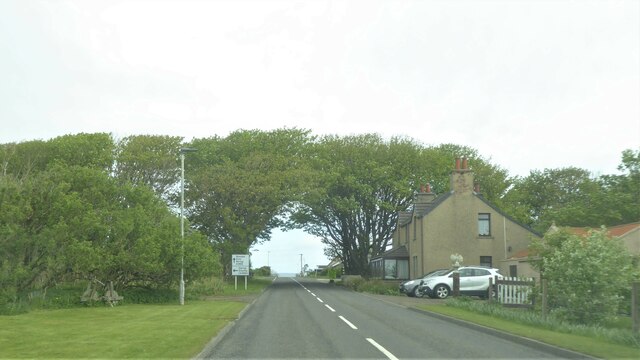
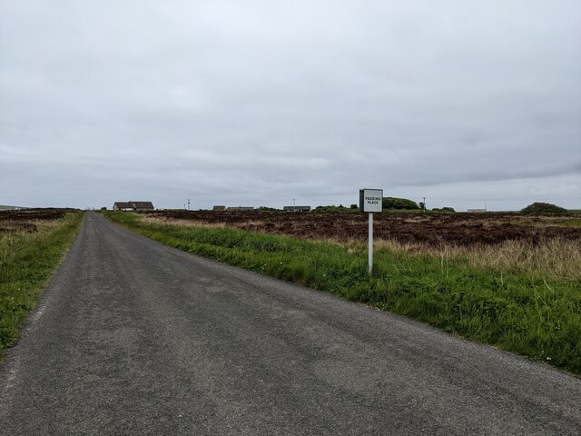
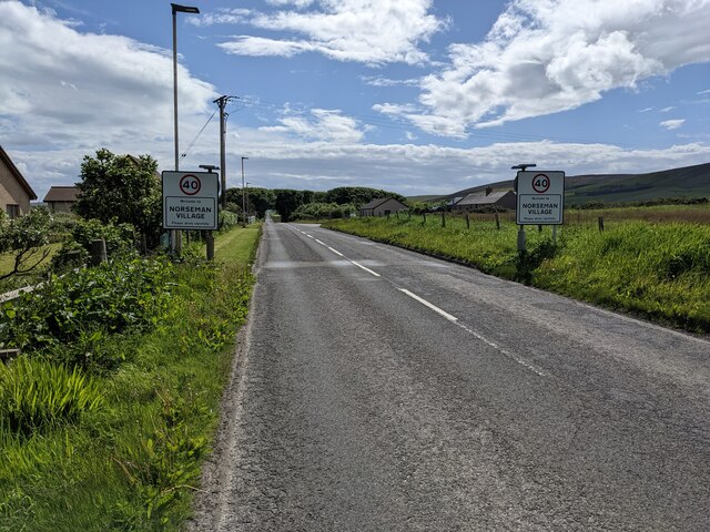
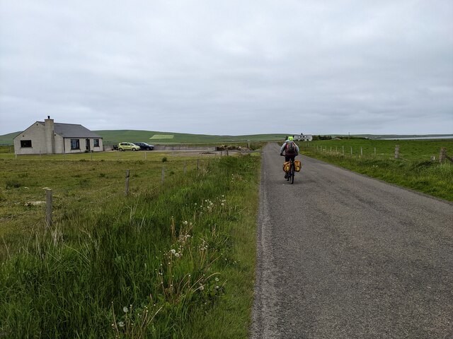
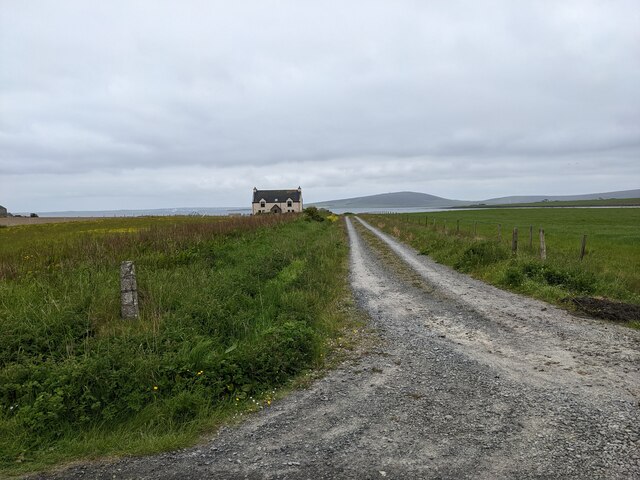
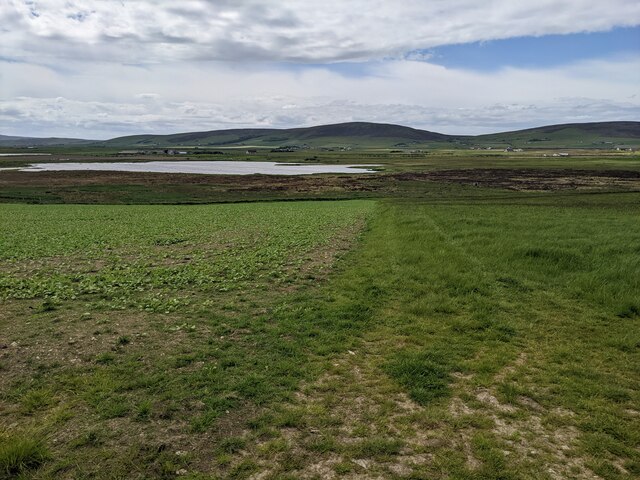
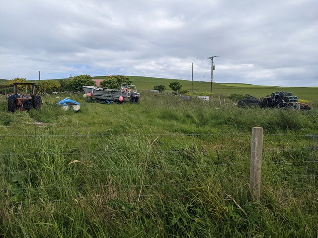
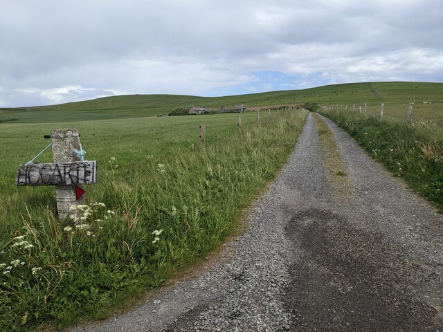
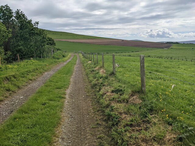
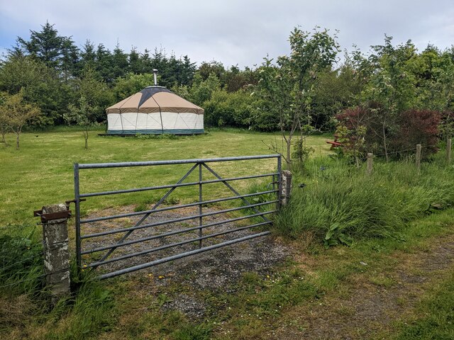
Loch of Brockan Images

Images are sourced within 2km of 59.054337/-3.0559577 or Grid Reference HY3919. Thanks to Geograph Open Source API. All images are credited.

Ruined church, Hackland, Orkney In the OS Name Book of 1879-80 this is described as the parish church of Rendall.
Ruined church, Hackland, Orkney
In the OS Name Book of 1879-80 this is described as the parish church of Rendall.
Crossroads and chapel at Rendall
Upper Bigging
Upper Bigging
Layburn Farm with a small area of woodland right of picture by the A966.
Layburn
Farm with a small area of woodland right of picture by the A966.
A966 through Rendall Looking north east past Layburn to the left.
A966 through Rendall
Looking north east past Layburn to the left.
Hackland Church The building is situated in an elevated position in the centre of Rendall Parish with panoramic views over the surrounding countryside.  Affectionately known locally as the Hackland Church, it has recently been refurbished both inside and out.  
Facilities within the Church include a worship area, meeting room (with a kitchen area), session room, storage and toilet facilities.
The building has ample parking and disabled access.
Hackland Church
The building is situated in an elevated position in the centre of Rendall Parish with panoramic views over the surrounding countryside. Affectionately known locally as the Hackland Church, it has recently been refurbished both inside and out. Facilities within the Church include a worship area, meeting room (with a kitchen area), session room, storage and toilet facilities. The building has ample parking and disabled access.
A966 at Norseman Village, Orkney
The road to Norseman village
Entering Norseman Village A name that speaks of history.
Entering Norseman Village
A name that speaks of history.
Minor road and a bungalow near Norseman's Village
A house and lane above Bay of Isbister The house is not shown on the OS map.
A house and lane above Bay of Isbister
The house is not shown on the OS map.
Looking towards the Loch of Brockan
A collection of equipment at Sandyhall It is said that Orkneymen are 'farmers who fish a bit' - which seems to be the case for the owner of this collection.
A collection of equipment at Sandyhall
It is said that Orkneymen are 'farmers who fish a bit' - which seems to be the case for the owner of this collection.
The lane to Hogarth
The lane to Hogarth
A lane near Lower Bigging
The yurt at Orkneyurt Available for rent. See: <span class="nowrap"><a title="https://orkneyurt.com/" rel="nofollow ugc noopener" href="https://orkneyurt.com/">Link</a><img style="margin-left:2px;" alt="External link" title="External link - shift click to open in new window" src="https://s1.geograph.org.uk/img/external.png" width="10" height="10"/></span>
The yurt at Orkneyurt
Available for rent. See: LinkExternal link
Rendall War Memorial The monument was erected in 1921 to commemorate five local men lost in the First World War: John W Yorston, William Brass, Henry Hay, David Spence and Alf Osborne.
Rendall War Memorial
The monument was erected in 1921 to commemorate five local men lost in the First World War: John W Yorston, William Brass, Henry Hay, David Spence and Alf Osborne.
Rendall towards Gairsay
Show me another place!

Loch of Brockan is located at Grid Ref: HY3919 (Lat: 59.054337, Lng: -3.0559577)

Unitary Authority: Orkney Islands

Police Authority: Highlands and Islands

What 3 Words

///reservoir.tight.horns. Near Rendall, Orkney Islands

Nearby Locations

Loch of Brockan

Related Wikis

Rendall

Rendall (Old Norse: Rennudalr or Rennadal) is a parish on Mainland, Orkney, Scotland. It is in the north west of the island and lies east of the parishes...

Damsay

Damsay is an islet in the Orkney archipelago in Scotland. It is approximately 18 hectares (0.07 sq mi) in extent and rises to only 11 metres (36 ft) above...

Knowes of Trotty

The Knowes of Trotty is a Bronze Age cemetery located in Mainland, Orkney in Scotland. The ancient site consists of a group of twelve surviving burial...

Holm of Grimbister

Holm of Grimbister is an inhabited tidal islet in the Orkney archipelago of Scotland. Located in the Bay of Firth near Finstown it is connected to Mainland...

Gairsay

Gairsay (Old Norse: Gáreksey) is a small island in Orkney, Scotland, located in the parish of Rendall, 1.5 miles (2.4 km) off the coast, astride one of...

Finstown

Finstown (locally ) is a village in the parish of Firth on Mainland, Orkney, Scotland. It is the fourth-largest settlement in the Orkney Islands. According...

Rennibister Earth House

Rennibister Earth House is an Iron Age underground structure known as a souterrain. It is located on the Mainland of Orkney, in Scotland. The monument...

Orkney

Orkney (; Scots: Orkney; Old Norse: Orkneyjar; Norn: Orknøjar), also known as the Orkney Islands or The Orkneys, is an archipelago in the Northern Isles...

Nearby Amenities

Located within 500m of 59.054337,-3.0559577
Power: pole
Lat/Long: 59.0513825/-3.0616549
Power: pole
Lat/Long: 59.0516648/-3.0602211
Power: pole
Lat/Long: 59.051959/-3.0587665
Power: pole
Lat/Long: 59.0522592/-3.0572795
Power: pole
Lat/Long: 59.0525784/-3.0556975
Power: pole
Lat/Long: 59.0527118/-3.0550791
Power: pole
Lat/Long: 59.0528822/-3.0542313
Power: pole
Lat/Long: 59.0531645/-3.0527953
Power: pole
Lat/Long: 59.0534337/-3.0513569
Power: pole
Lat/Long: 59.053604/-3.0504559
Power: pole
Lat/Long: 59.0538148/-3.0493927
Power: pole
Lat/Long: 59.0540887/-3.0481188
Power: pole
Lat/Long: 59.0521973/-3.054683
Power: pole
Lat/Long: 59.0515135/-3.0541271
Power: pole
Lat/Long: 59.0508679/-3.0536036
Power: pole
Lat/Long: 59.0503593/-3.053189
The data included in this document is from www.openstreetmap.org. The data is made available under ODbL.

Have you been to Loch of Brockan?

Leave your review of Loch of Brockan below (or comments, questions and feedback).