Shaws Under Loch

Lake, Pool, Pond, Freshwater Marsh in Selkirkshire

Scotland

Shaws Under Loch

Overgrown borrow pit Hyndhope Forest.
Overgrown borrow pit Credit: Richard Webb

Shaws Under Loch is a picturesque freshwater loch located in Selkirkshire, Scotland. Nestled amidst the stunning natural beauty of the region, this body of water is a popular destination for nature enthusiasts and those seeking tranquility.

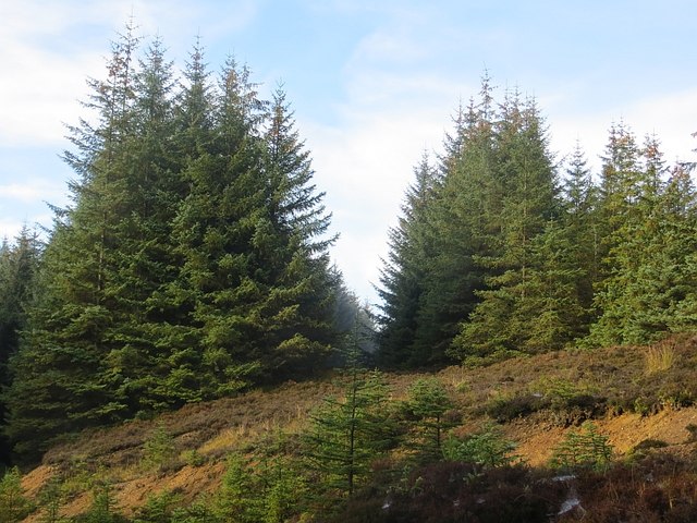
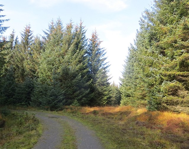
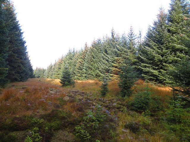
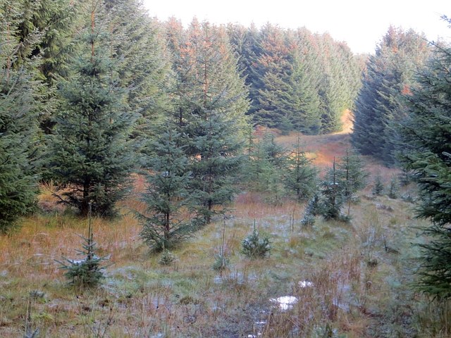
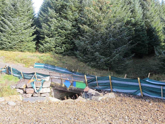
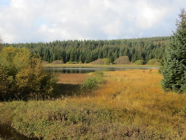
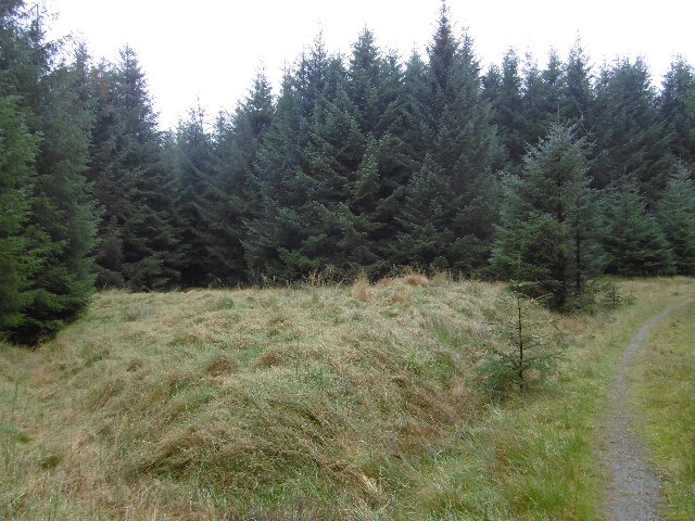
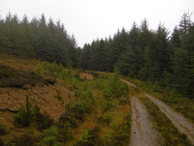
Covering an area of approximately 20 acres, Shaws Under Loch is surrounded by lush vegetation, rolling hills, and dense forests. Its crystal-clear waters are fed by numerous small streams and springs, ensuring a constant flow of fresh water throughout the year.

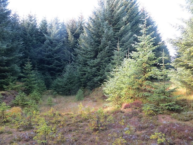
The loch boasts a diverse ecosystem, supporting a wide range of flora and fauna. Visitors can expect to encounter various species of waterfowl, including ducks, swans, and herons, gracefully gliding across the surface of the water. The surrounding marshland provides a habitat for a variety of aquatic plants, such as water lilies and reeds, which add to the loch's natural charm.

Shaws Under Loch offers numerous recreational opportunities for visitors. Fishing enthusiasts can try their luck at catching brown trout, which thrive in the loch's nutrient-rich waters. The serene atmosphere and stunning backdrop make it an ideal spot for photography, picnicking, or simply relaxing and enjoying the sights and sounds of nature.

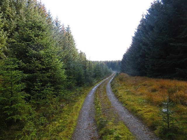
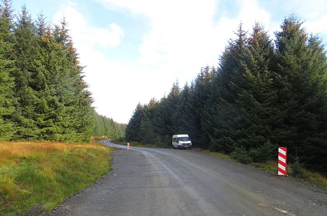
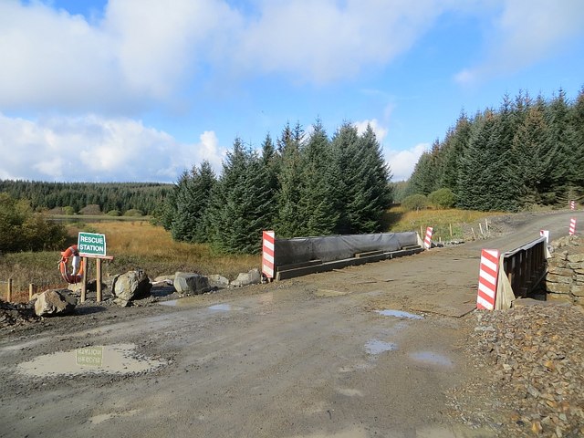
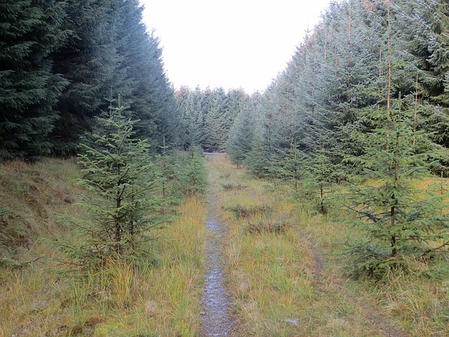
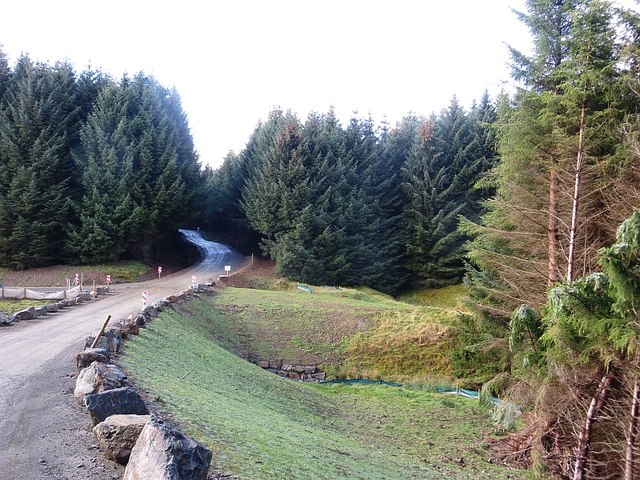
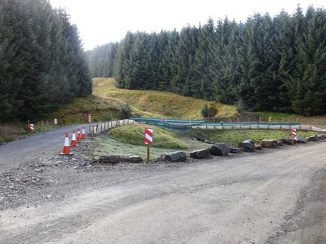
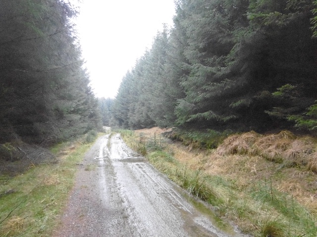
Access to Shaws Under Loch is convenient, with a well-maintained path leading directly to its shores. The loch is also situated close to several other attractions in Selkirkshire, making it a perfect stop for those exploring the region.

In summary, Shaws Under Loch is a captivating freshwater loch that offers a peaceful retreat in the heart of Selkirkshire. Its breathtaking natural beauty and abundance of wildlife make it a must-visit destination for nature lovers and outdoor enthusiasts.

If you have any feedback on the listing, please let us know in the comments section below.

Shaws Under Loch Images

Images are sourced within 2km of 55.465299/-2.9574436 or Grid Reference NT3919. Thanks to Geograph Open Source API. All images are credited.

Overgrown borrow pit Hyndhope Forest.
Overgrown borrow pit
Hyndhope Forest.
Ride, Hyndhope Forest A rare break in the trees in Hyndhope Forest. The northern most track shown on the Ordnance Survey 1:25,000 map is just a rough grass ride.
Ride, Hyndhope Forest
A rare break in the trees in Hyndhope Forest. The northern most track shown on the Ordnance Survey 1:25,000 map is just a rough grass ride.
Road and ride, Hyndhope Forest Oh the scenery!
Road and ride, Hyndhope Forest
Oh the scenery!
Ride, Hyndhope Forest There is a rough track up along the ride.
Ride, Hyndhope Forest
There is a rough track up along the ride.
Road, Hyndhope Forest
Wind farm road, Hyndhope Forest Other than parked up fishermen, deserted on a Saturday.
Wind farm road, Hyndhope Forest
Other than parked up fishermen, deserted on a Saturday.
New bridge, Hyndhope Near Shaws Upper Loch (background). The bridge augments the older one which is not up to wind farm construction traffic.

Note the life saving equipment for  a tiny burn.
New bridge, Hyndhope
Near Shaws Upper Loch (background). The bridge augments the older one which is not up to wind farm construction traffic. Note the life saving equipment for a tiny burn.
No entry "Ecological protection area" beside a more or less uncrossable bog.  Normally I only show the back of keep out signs here, but this one gets through on the grounds that it shows that wind farmers really care about the environment.
No entry
"Ecological protection area" beside a more or less uncrossable bog. Normally I only show the back of keep out signs here, but this one gets through on the grounds that it shows that wind farmers really care about the environment.
Self seeded spruce Sitka takeover on a rather little used and decommissioned logging road in Hyndhope Forest.
Self seeded spruce
Sitka takeover on a rather little used and decommissioned logging road in Hyndhope Forest.
Decommissioned logging road Wind farm traffic is deterred by a ditch / water bar dug across the track at the junction with the main construction road. Seeing little traffic, the road is becoming overgrown.
Decommissioned logging road
Wind farm traffic is deterred by a ditch / water bar dug across the track at the junction with the main construction road. Seeing little traffic, the road is becoming overgrown.
Gildiesgreen A new embankment cuts out a bend and bridge on the access route to Langhope Rig wind farm.
Gildiesgreen
A new embankment cuts out a bend and bridge on the access route to Langhope Rig wind farm.
A nasty surprise Wind farmers!  Completely over the top and treated as such. I was able to get through to the B711 without encountering any construction or construction workers. There were plenty of fishermen though! The wind farm was not in the forest but messing up the moorland to the east.
A nasty surprise
Wind farmers! Completely over the top and treated as such. I was able to get through to the B711 without encountering any construction or construction workers. There were plenty of fishermen though! The wind farm was not in the forest but messing up the moorland to the east.
Old bridge, Langhope Burn The former logging road now replaced by a wider construction road for a wind farm with stronger bridges.

Older view, before the wind farm: <a href="https://www.geograph.org.uk/photo/393850">NT3818 : Bridge, near Shaw's Upper Loch</a>
Old bridge, Langhope Burn
The former logging road now replaced by a wider construction road for a wind farm with stronger bridges. Older view, before the wind farm: NT3818 : Bridge, near Shaw's Upper Loch
Shaws Upper Loch
Shaws Upper Loch
Gildiesgreen Burn The older logging road beside the new wind farm construction road.
Gildiesgreen Burn
The older logging road beside the new wind farm construction road.
Logging road, Black Rig Very dense Sitka, bound for the Chirk chipboard factory.
Logging road, Black Rig
Very dense Sitka, bound for the Chirk chipboard factory.
Clearing, Black Rig Ride end in Hyndhope Forest.
Clearing, Black Rig
Ride end in Hyndhope Forest.
Logging road, Hyndhope Forest
Show me another place!

Shaws Under Loch is located at Grid Ref: NT3919 (Lat: 55.465299, Lng: -2.9574436)

Unitary Authority: The Scottish Borders

Police Authority: The Lothians and Scottish Borders

What 3 Words

///mess.thudding.held. Near Hawick, Scottish Borders

Nearby Locations

Shaws Under Loch

Related Wikis

Alemoor Loch

Alemoor Loch, also known as Alemoor Reservoir, is a small reservoir in the Scottish Borders area of Scotland. It is situated on the Ale Water, 10 kilometres...

Selkirkshire

Selkirkshire or the County of Selkirk (Scottish Gaelic: Siorrachd Shalcraig) is a historic county and registration county of Scotland. It borders Peeblesshire...

Ettrickbridge

Ettrickbridge (Scottish Gaelic: Drochaid Eadaraig) is a village situated in the Scottish Borders region of Scotland, 7 miles (11 km) from the nearby town...

Kirkhope Tower

Kirkhope Tower is a Scottish Pele, located in the Ettrick Valley, in the historic county of Selkirkshire, now a division of the Scottish Borders. The tower...

Oakwood Roman Fort and Camp

Oakwood Roman Fort and Camp is a British archaeological site, a Roman fort and nearby Roman camp, about 3.5 miles (5.6 km) south-west of Selkirk in the...

Roberton, Scottish Borders

Roberton is a small village in the Scottish Borders area of Scotland, on the B711 and near to the A7, 5 miles (8 kilometres) from Hawick, 22 mi (35 km...

Burnfoot, Roberton

Burnfoot (Scottish Gaelic: Bun na h-Aibhne) is a hamlet in the Scottish Borders area of Scotland, close to Roberton, by the Borthwick Water. The nearest...

Aikwood Tower

Aikwood Tower (formerly known as Oakwood Tower) is a 16th-century tower house in the Scottish Borders area of Scotland, 4 miles (6 kilometres) southwest...

Have you been to Shaws Under Loch?

Leave your review of Shaws Under Loch below (or comments, questions and feedback).