White's Pool

Lake, Pool, Pond, Freshwater Marsh in Angus

Scotland

White's Pool

Mounth Road, near Mount Keen
Mounth Road, near Mount Keen Credit: Steven Brown

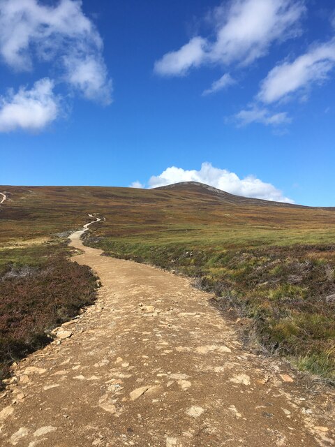
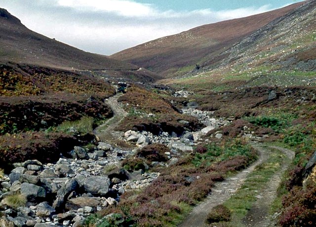
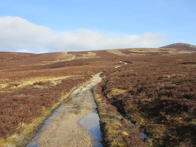
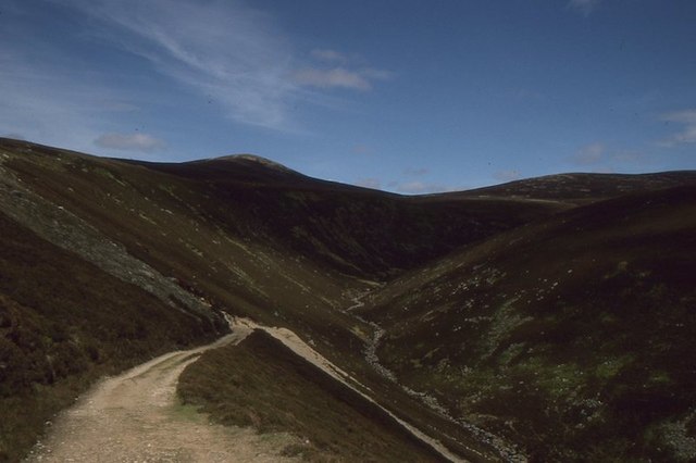
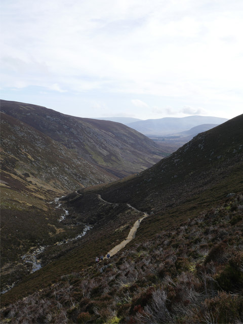
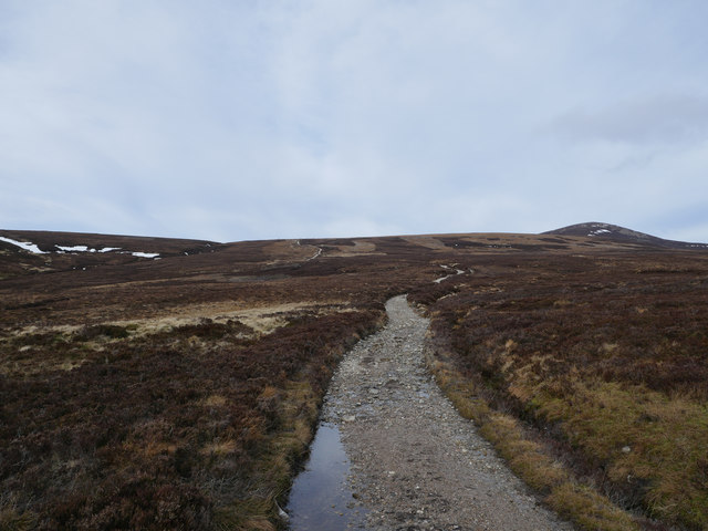
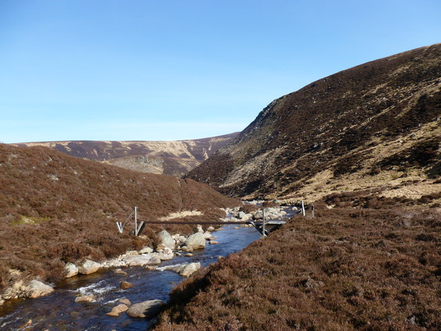
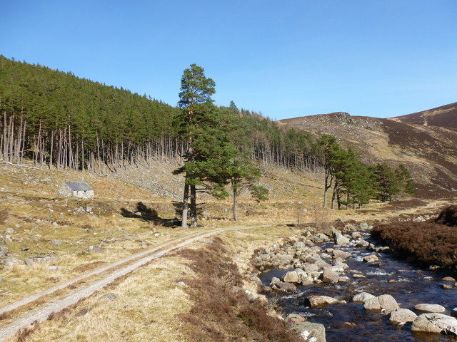
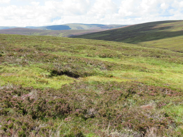
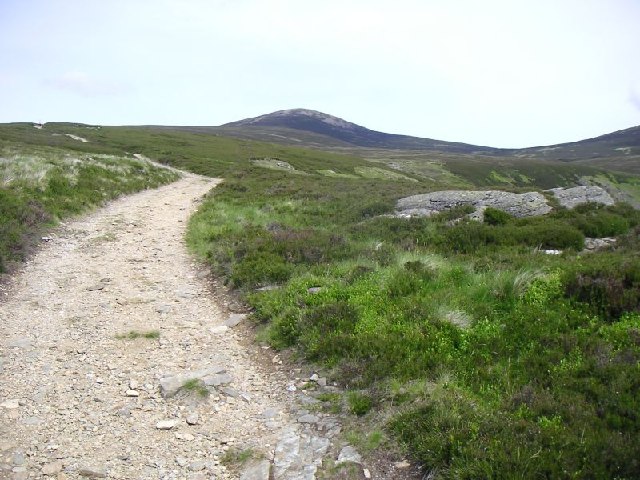
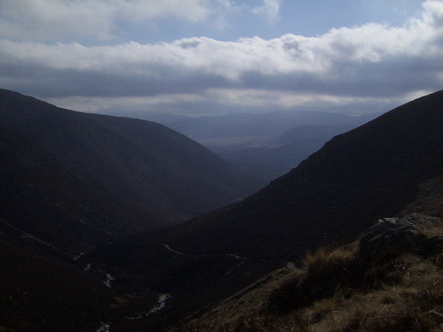
White's Pool is a picturesque freshwater marsh located in Angus, Scotland. Spanning an area of approximately 10 acres, this natural body of water is renowned for its serene beauty and diverse ecosystem. It is often referred to as a pool, lake, pond, or even a marsh due to its unique characteristics.

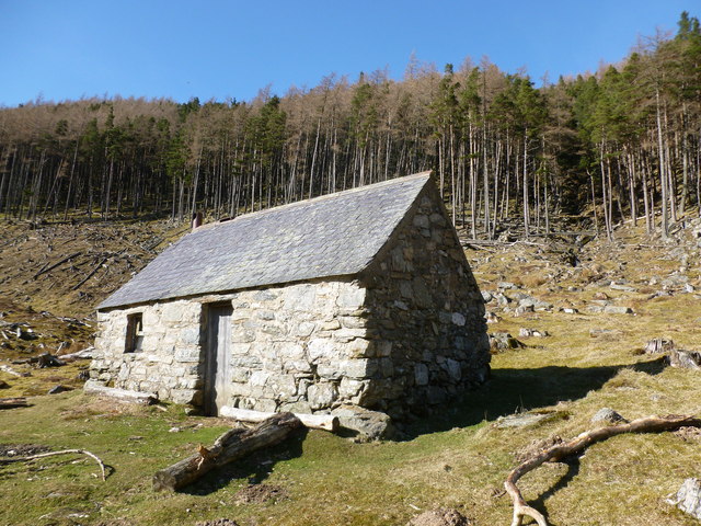
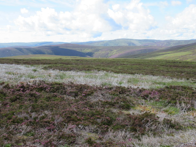
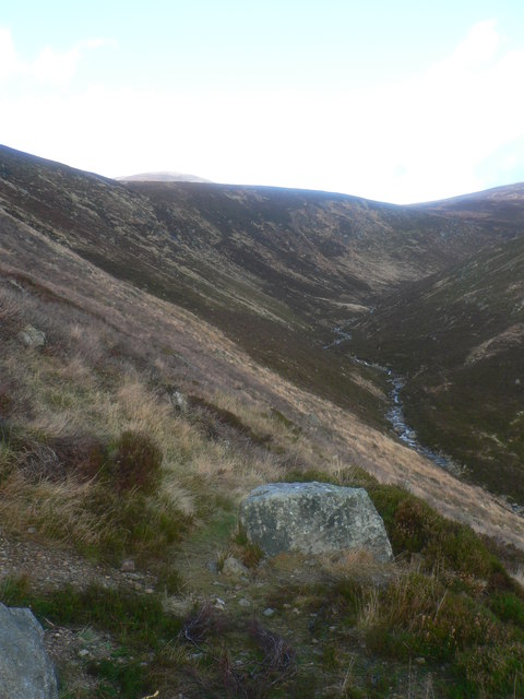
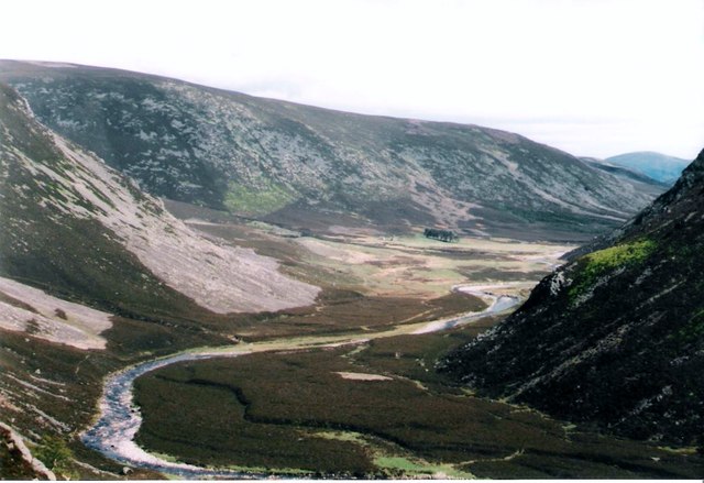
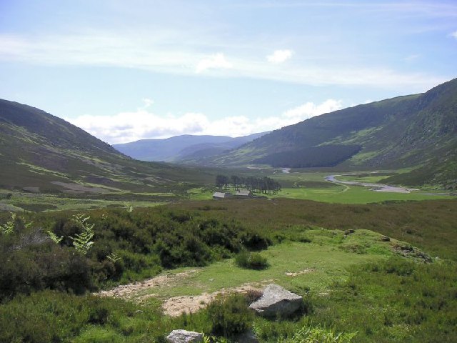
Surrounded by lush greenery and rolling hills, White's Pool offers a peaceful retreat for both locals and visitors alike. The pool is fed by several small streams and springs, ensuring a constant flow of freshwater throughout the year. Its crystal-clear waters are home to a variety of aquatic plants and animals, making it a haven for nature enthusiasts and wildlife photographers.

The pool's marshy edges are adorned with vibrant reeds, rushes, and water lilies, providing a thriving habitat for numerous bird species, including herons, swans, and ducks. It is not uncommon to spot these birds gracefully gliding across the surface of the pool or nesting in the surrounding vegetation.

White's Pool is a popular destination for fishing enthusiasts as well. The pool is teeming with fish such as trout and perch, providing a great opportunity for anglers to test their skills and enjoy a day out in nature.

With its tranquil atmosphere and stunning natural surroundings, White's Pool is a true gem in the Angus region. Whether one seeks to relax in its peaceful ambiance, admire its abundant wildlife, or engage in recreational activities, this freshwater marsh offers an unforgettable experience for all who visit.

If you have any feedback on the listing, please let us know in the comments section below.

White's Pool Images

Images are sourced within 2km of 56.93736/-2.9954873 or Grid Reference NO3983. Thanks to Geograph Open Source API. All images are credited.

Mounth Road, near Mount Keen
Ford across Water of Mark
Track on the ridge of Couternach Looking back down Glen Mark.
Track on the ridge of Couternach
Looking back down Glen Mark.
The twisting path The path snaking its way up beside the Ladder Burn.
The twisting path
The path snaking its way up beside the Ladder Burn.
The Mounth Road The southern part of the Mounth Road with Mount Keen on the far right.
The Mounth Road
The southern part of the Mounth Road with Mount Keen on the far right.
The Ladder A steep section of the Mount Keen road - used as one of the two popular routes to the hill.
The Ladder
A steep section of the Mount Keen road - used as one of the two popular routes to the hill.
Above the Ladder Burn Looking back towards Glen Mark from the track above the Ladder Burn, bound for Mount Keen.
Above the Ladder Burn
Looking back towards Glen Mark from the track above the Ladder Burn, bound for Mount Keen.
Mount Keen in view A view towards the summit of Mount Keen, to the far right of shot - the most easterly 'Munro'.
Mount Keen in view
A view towards the summit of Mount Keen, to the far right of shot - the most easterly 'Munro'.
Bridge over the Water of Lee The single girder bridge is still here, 10 years on from <a href="https://www.geograph.org.uk/photo/6213">NO3881 : Bridge, Glen Lee</a>, providing a rather shoogly way of crossing the burn.
Bridge over the Water of Lee
The single girder bridge is still here, 10 years on from NO3881 : Bridge, Glen Lee, providing a rather shoogly way of crossing the burn.
Track by the Lee Plantation The plantation has been partly felled, revealing the bothy marked but not named on the 1:25000 scale map.  The rocky knoll of Cairn of Camlet can also be seen in the background.
Track by the Lee Plantation
The plantation has been partly felled, revealing the bothy marked but not named on the 1:25000 scale map. The rocky knoll of Cairn of Camlet can also be seen in the background.
Bothy in Glen Lee Marked but not named on the 1:25000 scale map.
Bothy in Glen Lee
Marked but not named on the 1:25000 scale map.
View south-west from catchment of Burn of Doune on Glen Esk
Heather desert near Mount Keen A desert as rich in microscopic life as any other, no doubt,
Heather desert near Mount Keen
A desert as rich in microscopic life as any other, no doubt,
Ladder Burn, Mount Keen & geocache The Ladder Burn with a cloud covered Mount Keen in the distance.  There is a geocache hidden at this hairpin bend so a good opportunity to stop
Ladder Burn, Mount Keen & geocache
The Ladder Burn with a cloud covered Mount Keen in the distance. There is a geocache hidden at this hairpin bend so a good opportunity to stop
Towards Glenmark
Towards Glenmark
Glen Mark Looking down Glen Mark towards Auchronie
Glen Mark
Looking down Glen Mark towards Auchronie
North To Mount Keen Looking North to the summit of Mount Keen from the slopes of the Knowe of Crippley.
North To Mount Keen
Looking North to the summit of Mount Keen from the slopes of the Knowe of Crippley.
Ladder Burn and Glen Mark A view down the Ladder Burn from the access track leading up towards Mount Keen, the most easterly 'Munro' and home to some excellent horizontal icicles.
Ladder Burn and Glen Mark
A view down the Ladder Burn from the access track leading up towards Mount Keen, the most easterly 'Munro' and home to some excellent horizontal icicles.
Show me another place!

White's Pool is located at Grid Ref: NO3983 (Lat: 56.93736, Lng: -2.9954873)

Unitary Authority: Angus

Police Authority: Tayside

What 3 Words

///reclaimed.give.gestures. Near Ballater, Aberdeenshire

Nearby Locations

Corrie Maud White's Pool

Related Wikis

Glen Mark

Glen Mark is a glen in northern Angus, eastern Scotland, through which the Water of Mark flows. Near the mouth of the glen, at Auchronie, the Water of...

Falls of Unich

Falls of Unich is a waterfall of Scotland. == See also == Waterfalls of Scotland == References == Media related to Falls of Unich at Wikimedia Commons

Mount Keen

Mount Keen (Scottish Gaelic: Monadh Caoin) is a 939-metre-high (3,081 ft) mountain in Scotland and the most easterly Munro. It can be accessed from several...

Falls of Damff

Falls of Damff is a waterfall in Cairngorms National Park in Scotland. == See also == Waterfalls of Scotland == References ==

Invermark Lodge

Invermark Lodge is a hunting lodge which was built near Invermark Castle in 1852 for John Ramsay, 13th Earl of Dalhousie. It is now a listed building...

Loch Lee

National grid reference NO431800 Loch Lee is a loch in Angus, Scotland south of the Grampian Mountains that is fed by the Water of Lee and the Water of...

Invermark Castle

Invermark Castle is an oblong tower house dating from the 16th century, at the east of Loch Lee, Angus, Scotland. It is near the head of Glen Esk. ��2...

Linn of Muick

Linn of Muick is a waterfall on the river Muick, Aberdeenshire, Scotland. == See also == Waterfalls of Scotland Media related to Linn of Muick at Wikimedia...

Nearby Amenities

Located within 500m of 56.93736,-2.9954873
Craig of Doune
Place: locality
Lat/Long: 56.9404135/-2.995455
Balnamoon's Cave
Natural: cave_entrance
Lat/Long: 56.9368895/-2.9945543
The data included in this document is from www.openstreetmap.org. The data is made available under ODbL.

Have you been to White's Pool?

Leave your review of White's Pool below (or comments, questions and feedback).