Corrie Maud
Corrie (Glacial Valley) in Angus
Scotland
Corrie Maud
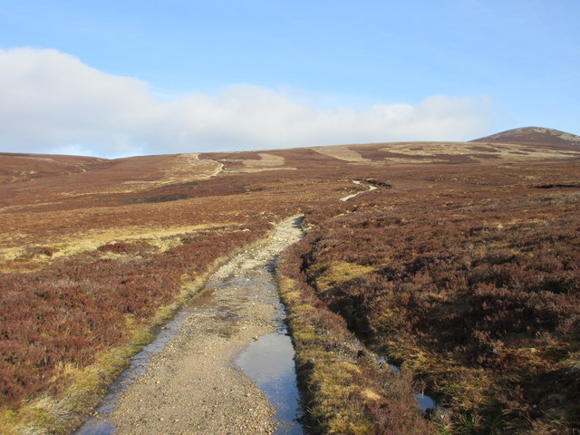
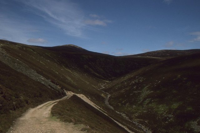
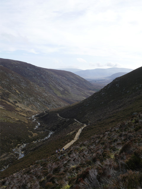
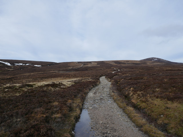
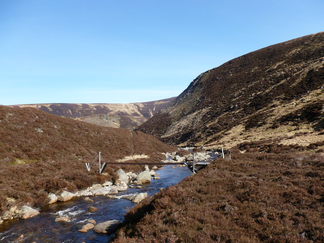
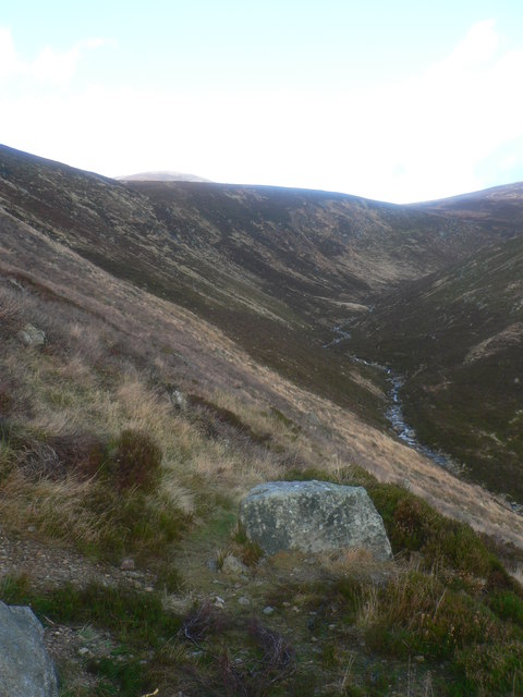
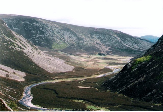
Corrie Maud, Angus, also known as Corrie (Glacial Valley), is a geological formation located in the county of Angus, Scotland. A corrie, also called a cirque or a cwm, is a steep-sided hollow found on a mountainside, typically formed by the erosion caused by glaciers during the last ice age.
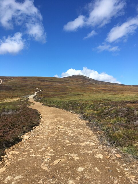
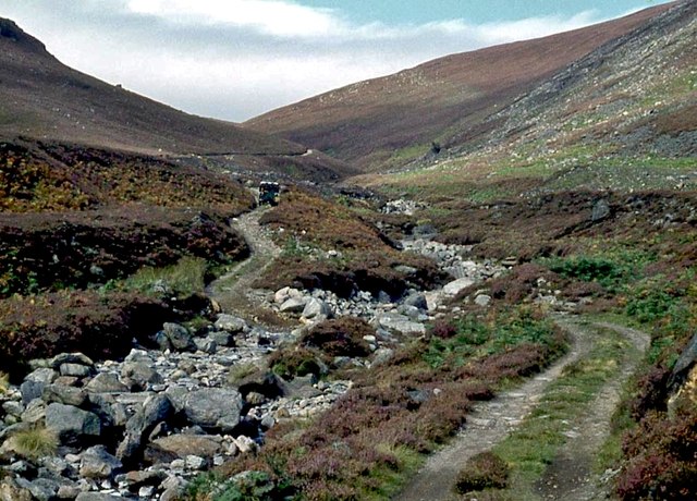
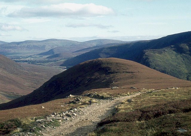
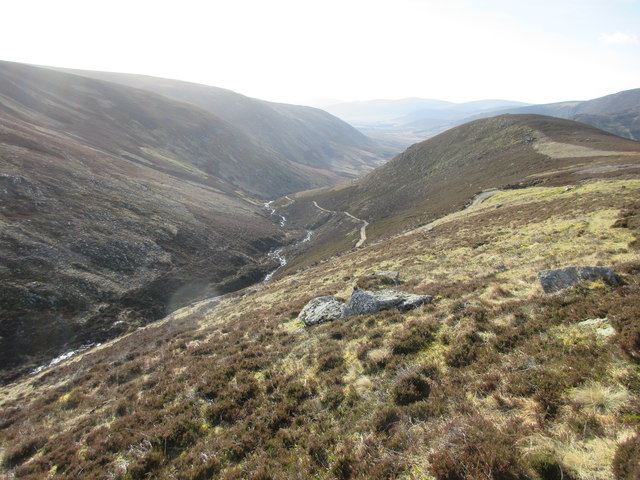
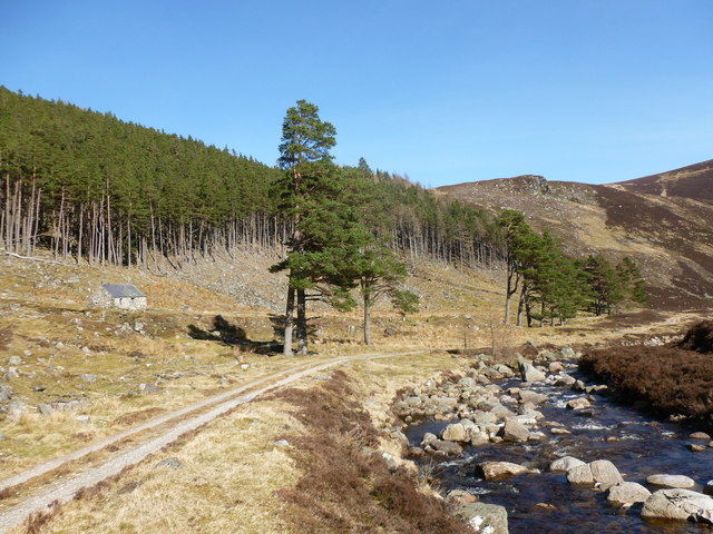
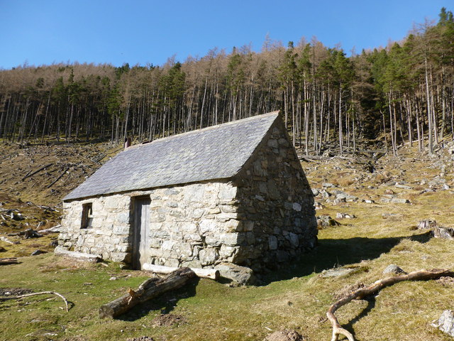
Corrie Maud is situated in the beautiful Glacial Valley, which exemplifies the striking landscapes that Scotland is renowned for. It is nestled within the scenic Angus Glens, a range of glens or valleys that cut through the southern part of the Grampian Mountains. The area is known for its rugged terrain, rich wildlife, and varied plant life, making it a popular destination for outdoor enthusiasts and nature lovers.
Corrie Maud itself features steep, U-shaped walls and a flat floor, which is often occupied by a small lake or tarn. These features are the result of the glacial action that occurred thousands of years ago, when ice carved out the valley and deposited loose debris at the base. Over time, the debris formed a moraine, a ridge-like accumulation of sediment.
The corrie and its surroundings offer breathtaking views and opportunities for hiking, climbing, and photography. Visitors can admire the majestic cliffs and the tranquil waters, as well as the diverse flora and fauna that thrive in this unique ecosystem.
In conclusion, Corrie Maud, Angus, is a remarkable geological formation within the Glacial Valley of Angus, Scotland. Its formation through glacial erosion and the picturesque landscape it offers make it a captivating destination for those seeking to explore the beauty of Scotland's natural wonders.
If you have any feedback on the listing, please let us know in the comments section below.
Corrie Maud Images
Images are sourced within 2km of 56.934527/-2.9879183 or Grid Reference NO3983. Thanks to Geograph Open Source API. All images are credited.


Corrie Maud is located at Grid Ref: NO3983 (Lat: 56.934527, Lng: -2.9879183)
Unitary Authority: Angus
Police Authority: Tayside
What 3 Words
///life.hairspray.grinning. Near Ballater, Aberdeenshire
Nearby Locations
Related Wikis

Glen Mark
Glen Mark is a glen in northern Angus, eastern Scotland, through which the Water of Mark flows. Near the mouth of the glen, at Auchronie, the Water of...

Falls of Unich
Falls of Unich is a waterfall of Scotland. == See also == Waterfalls of Scotland == References == Media related to Falls of Unich at Wikimedia Commons

Mount Keen
Mount Keen (Scottish Gaelic: Monadh Caoin) is a 939-metre-high (3,081 ft) mountain in Scotland and the most easterly Munro. It can be accessed from several...

Falls of Damff
Falls of Damff is a waterfall in Cairngorms National Park in Scotland. == See also == Waterfalls of Scotland == References ==

Invermark Lodge
Invermark Lodge is a hunting lodge which was built near Invermark Castle in 1852 for John Ramsay, 13th Earl of Dalhousie. It is now a listed building...

Loch Lee
National grid reference NO431800 Loch Lee is a loch in Angus, Scotland south of the Grampian Mountains that is fed by the Water of Lee and the Water of...

Invermark Castle
Invermark Castle is an oblong tower house dating from the 16th century, at the east of Loch Lee, Angus, Scotland. It is near the head of Glen Esk. ��2...

Ben Tirran
Ben Tirran (896 m) is a mountain in the Grampian Mountains of Scotland. It lies in the vast Mounth area of the eastern Highlands in Angus, on the northern...
Nearby Amenities
Located within 500m of 56.934527,-2.9879183Have you been to Corrie Maud?
Leave your review of Corrie Maud below (or comments, questions and feedback).