Marine Lake
Lake, Pool, Pond, Freshwater Marsh in Cheshire
England
Marine Lake
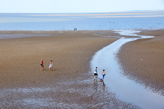
Marine Lake, located in Cheshire, England, is a popular freshwater body that encompasses characteristics of a lake, pool, pond, and freshwater marsh. It is situated within the charming coastal town of West Kirby and has become a beloved destination for both locals and tourists alike.
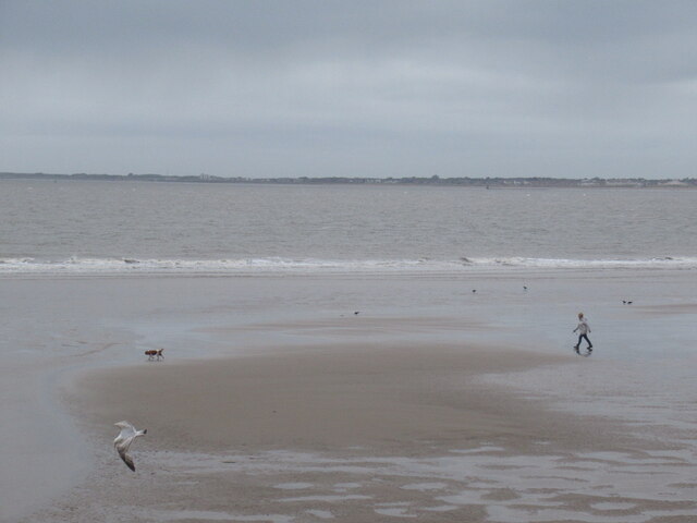
Covering an area of around 52 acres, Marine Lake boasts a diverse ecosystem that supports a wide range of flora and fauna. The lake's water source comes from the nearby Dee Estuary, which ensures a constant supply of freshwater. Its calm and serene waters make it an ideal spot for various water-based activities, such as sailing, windsurfing, and kayaking.
The lake's depth varies across different sections, ranging from shallow to deeper areas. This diversity in depth allows for a variety of aquatic plants and organisms to thrive, creating a rich and vibrant ecosystem within the lake. Visitors can observe an array of waterfowl, including swans, ducks, and geese, as well as various species of fish that inhabit the lake's depths.
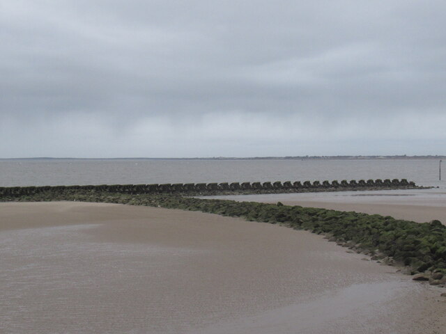
Surrounding Marine Lake is a freshwater marsh, which serves as a vital habitat for numerous bird species and other wildlife. The marshland is characterized by lush vegetation, including reeds, rushes, and marsh grasses, providing shelter and food sources for a variety of animals.
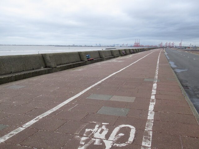
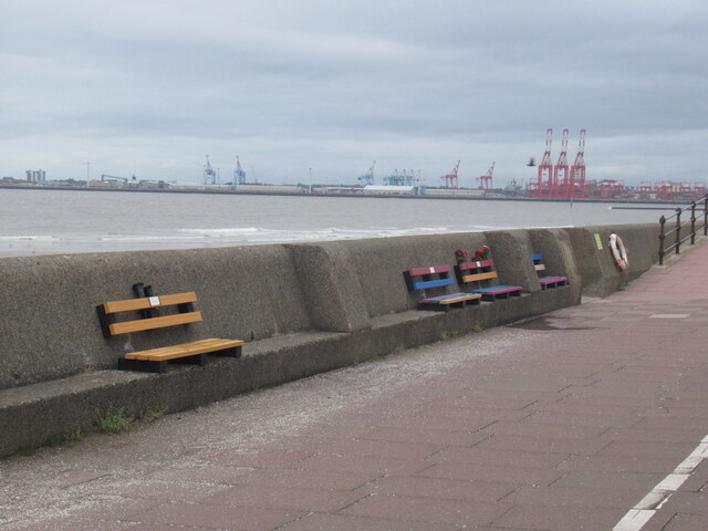
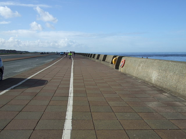
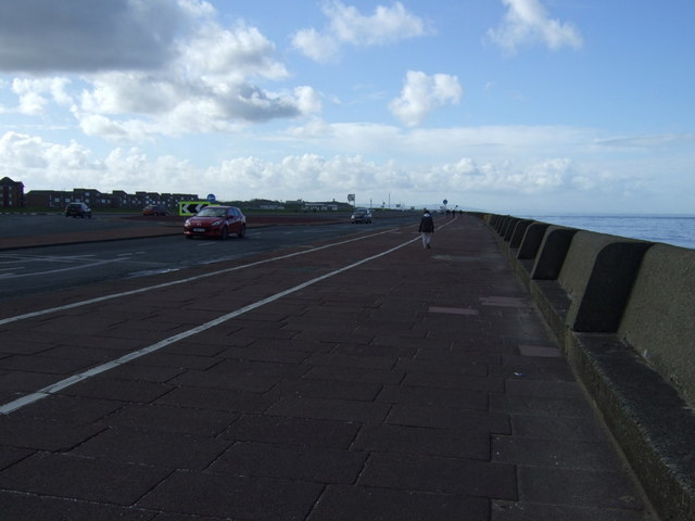
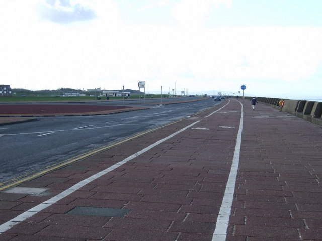
Marine Lake offers a picturesque setting for leisurely walks along its perimeter, with well-maintained paths and seating areas for visitors to enjoy the tranquil surroundings. The lake is also bordered by a promenade, where cafes, restaurants, and shops can be found, adding to the lively atmosphere of the area.
In summary, Marine Lake in Cheshire is a captivating freshwater body that combines the characteristics of a lake, pool, pond, and freshwater marsh. Its diverse ecosystem, water-based activities, and picturesque surroundings make it a popular destination for nature enthusiasts and visitors seeking a peaceful retreat.
If you have any feedback on the listing, please let us know in the comments section below.
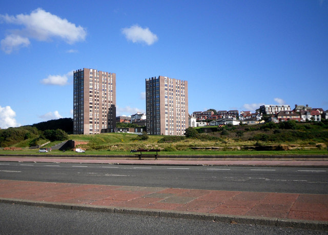
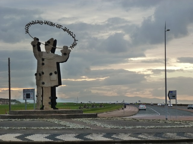
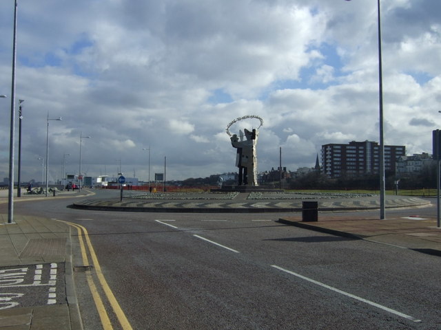
Marine Lake Images
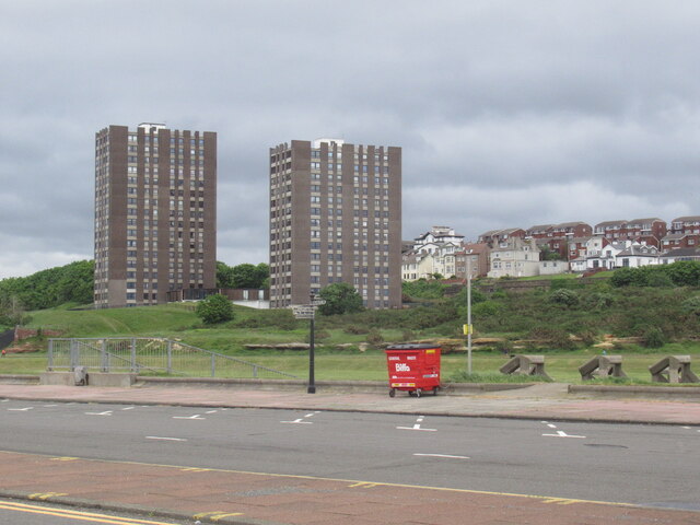
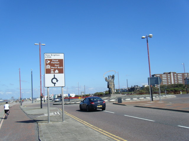
Images are sourced within 2km of 53.441113/-3.0427115 or Grid Reference SJ3094. Thanks to Geograph Open Source API. All images are credited.

Marine Lake is located at Grid Ref: SJ3094 (Lat: 53.441113, Lng: -3.0427115)
Unitary Authority: Wirral
Police Authority: Merseyside
What 3 Words
///lifted.needed.rugs. Near Wallasey, Merseyside
Nearby Locations
Related Wikis

Marine Point
Marine Point is a shopping and leisure complex in New Brighton, Merseyside, England. The development was built at an estimated cost of £65 million. In...

Fort Perch Rock
Fort Perch Rock is a former defence installation situated at the mouth of Liverpool Bay in New Brighton. Built in the 1820s to defend the Port of Liverpool...

Floral Pavilion Theatre
The Floral Pavilion Theatre is a theatre in the seaside town of New Brighton, on the Wirral Peninsula in England. Situated on the promenade overlooking...
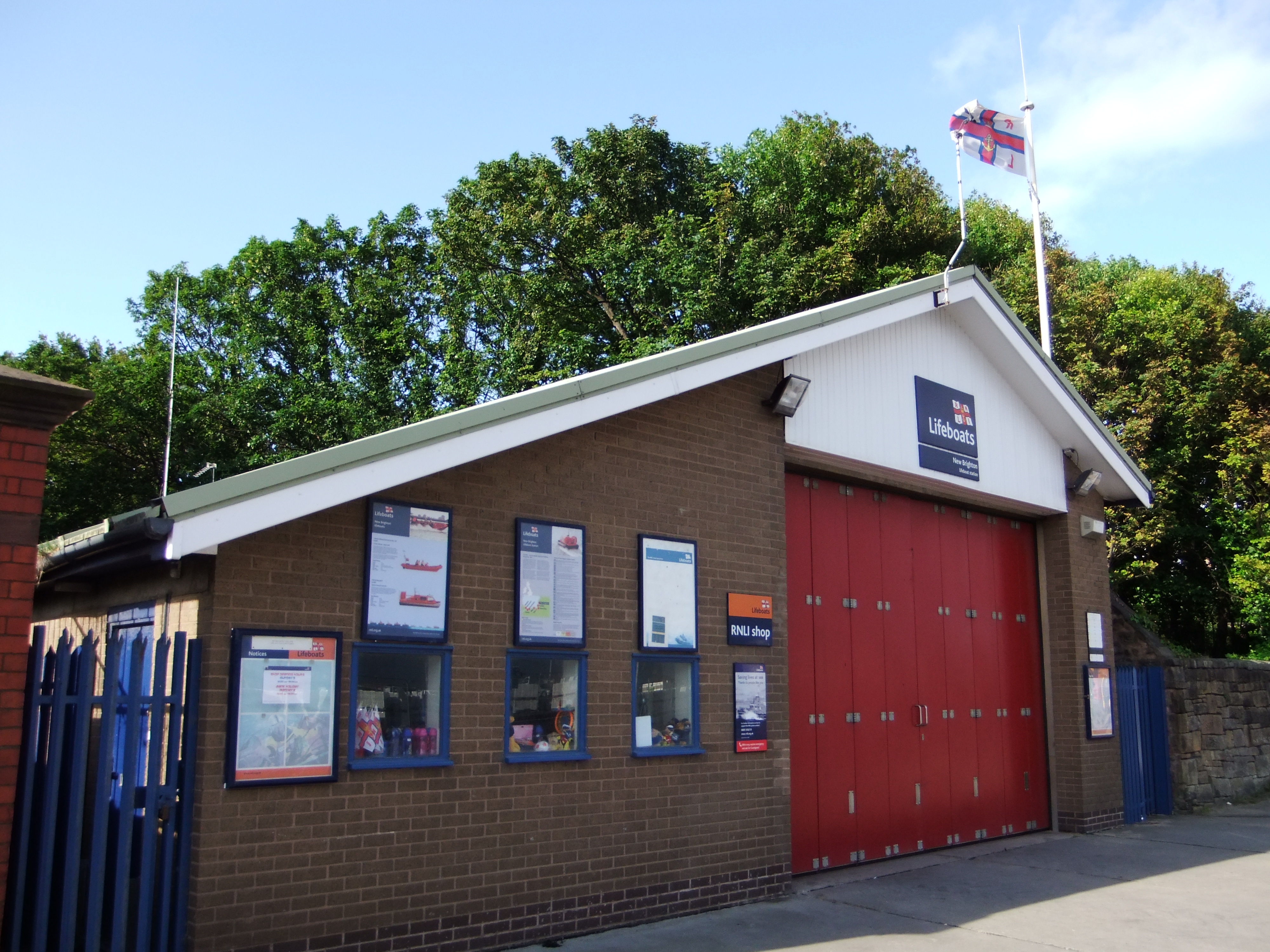
New Brighton Lifeboat Station
New Brighton Lifeboat Station is located on Kings Parade in the town of New Brighton on the Wirral Peninsula in Merseyside. A lifeboat was first stationed...
Nearby Amenities
Located within 500m of 53.441113,-3.0427115Have you been to Marine Lake?
Leave your review of Marine Lake below (or comments, questions and feedback).