Craig Stream

Lake, Pool, Pond, Freshwater Marsh in Peeblesshire

Scotland

Craig Stream

Angle in the wall, Mill Rig On the ridge with Lee Burn Head in view.
Angle in the wall, Mill Rig Credit: Jim Barton

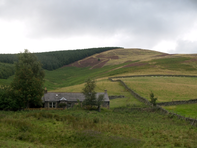
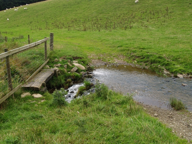
Craig Stream is a picturesque freshwater marsh located in Peeblesshire, Scotland. The stream is nestled amidst the idyllic beauty of the Scottish Highlands, making it a popular destination for nature enthusiasts and outdoor adventurers.

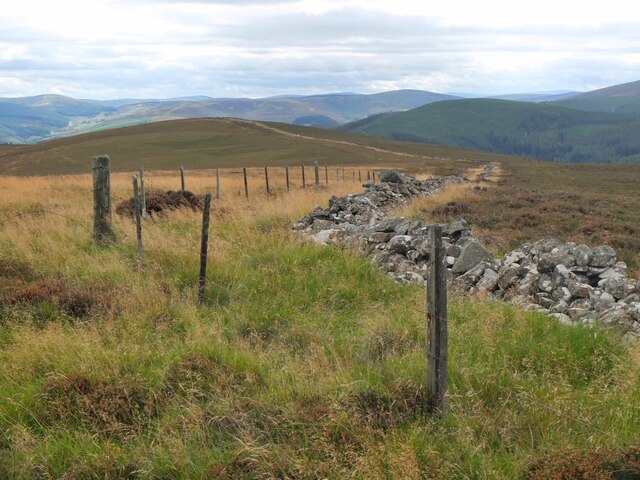
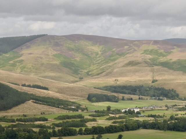
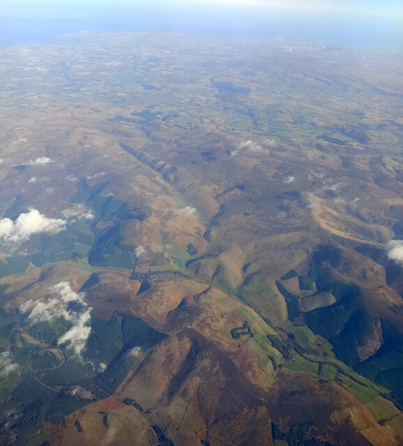
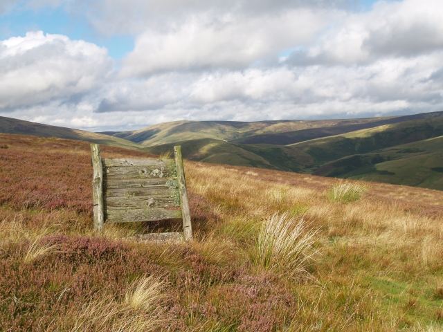
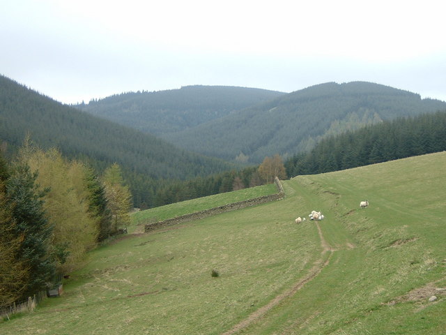
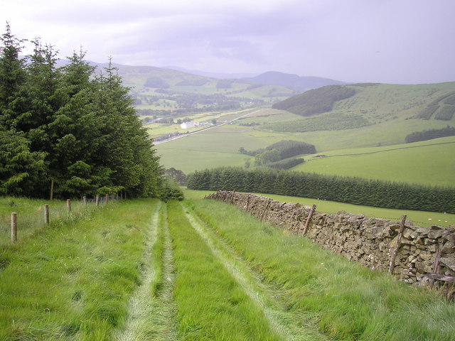
The stream originates from the surrounding hills and meanders through the dramatic landscape of rolling hills and dense forests. It is fed by several smaller tributaries along its course, ensuring a constant flow of freshwater throughout the year. The crystal-clear waters of Craig Stream are a testament to the pristine nature of the area.

Surrounded by lush vegetation and wildlife, Craig Stream serves as a vital habitat for a diverse range of plant and animal species. The marshy areas along its banks provide an ideal breeding ground for amphibians, such as frogs and newts, while the surrounding woodlands offer refuge to various bird species, including kingfishers and herons.

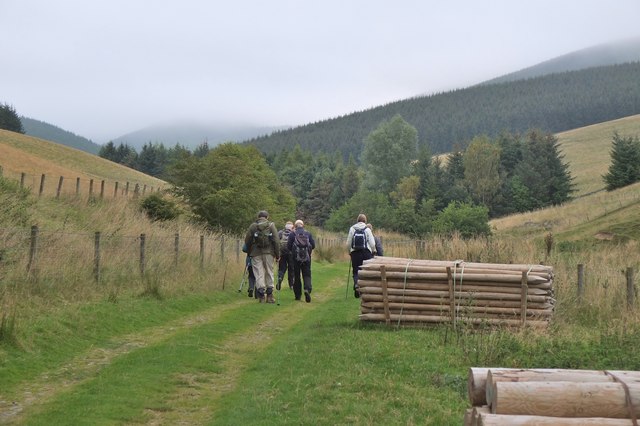
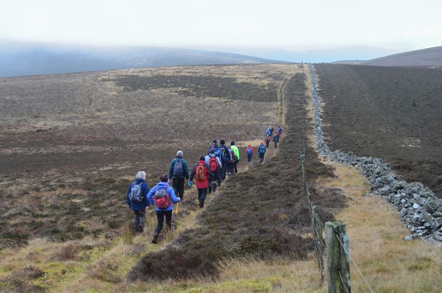
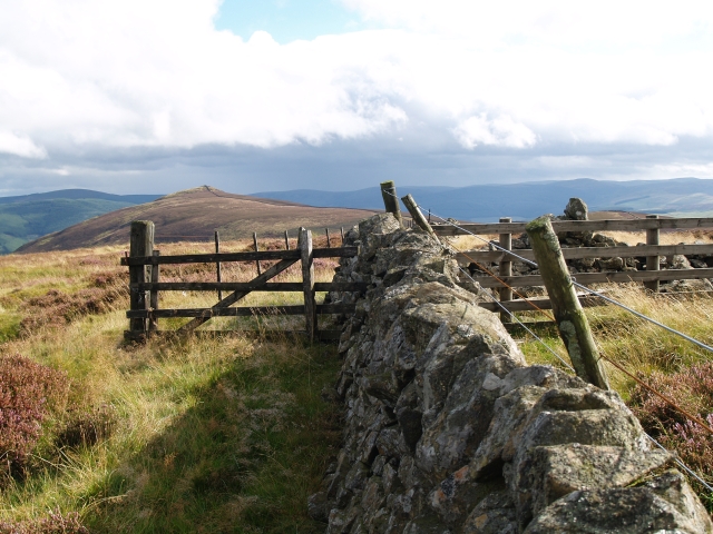
Visitors to Craig Stream can explore its beauty by taking leisurely walks along the well-maintained trails that wind through the area. The stream also offers opportunities for fishing, with trout being the most common catch. Anglers can enjoy the tranquility of the surroundings as they cast their lines in search of the elusive fish.

The stream is a haven for nature photographers, who can capture stunning images of the reflection of the surrounding hills and the vibrant colors of the vegetation that line its banks. The peaceful ambiance and natural beauty of Craig Stream make it an ideal spot for those seeking solace in the great outdoors.

If you have any feedback on the listing, please let us know in the comments section below.
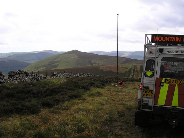
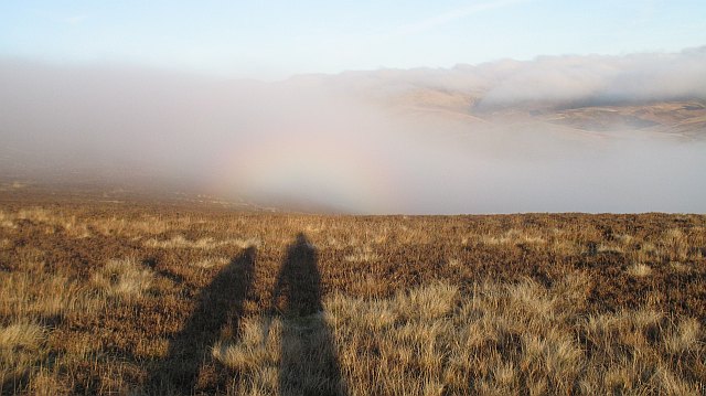
Craig Stream Images

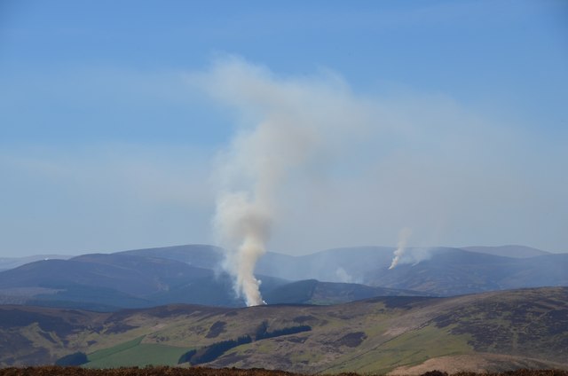
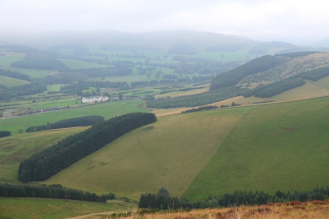
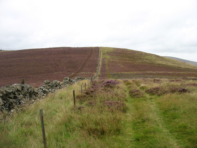
Images are sourced within 2km of 55.638474/-3.0997963 or Grid Reference NT3038. Thanks to Geograph Open Source API. All images are credited.

Angle in the wall, Mill Rig On the ridge with Lee Burn Head in view.
Angle in the wall, Mill Rig
On the ridge with Lee Burn Head in view.
Black Knowe Hill above the Cardrona Hotel.
Black Knowe
Hill above the Cardrona Hotel.
Mouse Dean Head from the air The course of Leithen Water can be clearly seen in the foreground. East Lothian, the Firth of Forth and the North Sea are in the distance.

Taken by mobile phone, from a Prague bound flight from Edinburgh.
Mouse Dean Head from the air
The course of Leithen Water can be clearly seen in the foreground. East Lothian, the Firth of Forth and the North Sea are in the distance. Taken by mobile phone, from a Prague bound flight from Edinburgh.
Muirburn smoke plumes Plumes from four different sites of heather burning on the hills between the Leithen Water and the Tweed, the nearest just over the ridge around Mill Rig, north of Lee Pen.
Muirburn smoke plumes
Plumes from four different sites of heather burning on the hills between the Leithen Water and the Tweed, the nearest just over the ridge around Mill Rig, north of Lee Pen.
Muirburn smoke near Mill Rig A plume of smoke from heather burning on the far side of the ridge running S towards Lee Pen. The viewpoint is across the valley on the ridge between Eastside Heights and Windlestraw Law. Compare with <a href="https://www.geograph.org.uk/photo/3937826">NT3140 : Muirburn smoke plumes</a>.
Muirburn smoke near Mill Rig
A plume of smoke from heather burning on the far side of the ridge running S towards Lee Pen. The viewpoint is across the valley on the ridge between Eastside Heights and Windlestraw Law. Compare with NT3140 : Muirburn smoke plumes.
Track by the Hope Burn Bundles of fence posts by the track on the way up by Hope Burn towards the plantations of Glentress Forest.
Track by the Hope Burn
Bundles of fence posts by the track on the way up by Hope Burn towards the plantations of Glentress Forest.
Bught Hill from Habs Cleuch Shank Much of the land in the middle foreground will be planted by the Forestry Commission over the next few years. The white building in the valley is the Macdonald Cardrona Hotel.
Bught Hill from Habs Cleuch Shank
Much of the land in the middle foreground will be planted by the Forestry Commission over the next few years. The white building in the valley is the Macdonald Cardrona Hotel.
Climbing to Black Knowe
All clear on Mill Rig Walkers en route to Innerleithen enjoying the views again, having dropped below cloud base on the ridge walk from Peebles. Compare with <a href="https://www.geograph.org.uk/photo/6018821">NT3141 : Descending Clog Knowe</a>.
All clear on Mill Rig
Walkers en route to Innerleithen enjoying the views again, having dropped below cloud base on the ridge walk from Peebles. Compare with NT3141 : Descending Clog Knowe.
Hope and Habs Cleuch Shank Hope is the cottage, and Habs Cleuch Shank the ridge behind on the right.  A very secluded dwelling, reachable only up a grass track.
Hope and Habs Cleuch Shank
Hope is the cottage, and Habs Cleuch Shank the ridge behind on the right. A very secluded dwelling, reachable only up a grass track.
Summit, Mill Rig A rather cluttered summit with three walls meeting, and a number of fences and gates.  Looking towards the distant summit of Lee Pen.
Summit, Mill Rig
A rather cluttered summit with three walls meeting, and a number of fences and gates. Looking towards the distant summit of Lee Pen.
Grouse Butt, Mill Rig This seem to have been here for some time and is now quite rickerty.
Grouse Butt, Mill Rig
This seem to have been here for some time and is now quite rickerty.
Footbridge and ford, Horsburgh Hope Burn. Living at the end of this track might be the one valid reason for owning a SUV.
Footbridge and ford, Horsburgh Hope Burn.
Living at the end of this track might be the one valid reason for owning a SUV.
Track to Hope cottage The cottage lies just over the rise. The eastern stretches of Glentress Forest clothe the hillsides at the head of this glen.
Track to Hope cottage
The cottage lies just over the rise. The eastern stretches of Glentress Forest clothe the hillsides at the head of this glen.
On Mill Rig
On Mill Rig
The Summit of Mill Rig, spot height 486m
On the Summit of Mill Rig looking to Lee Pen The mast in the photo is a mobile radio repeater, this enables the mountain rescue to talk from one valley into another.
On the Summit of Mill Rig looking to Lee Pen
The mast in the photo is a mobile radio repeater, this enables the mountain rescue to talk from one valley into another.
Cloud forming on Mill Rig A sunny day changed to low lying cloud with another layer of fog at glen level in just a few minutes. Unfortunately the ground was not steep enough for a Brocken spectre to form, but we did get the glory.
Cloud forming on Mill Rig
A sunny day changed to low lying cloud with another layer of fog at glen level in just a few minutes. Unfortunately the ground was not steep enough for a Brocken spectre to form, but we did get the glory.
Show me another place!

Craig Stream is located at Grid Ref: NT3038 (Lat: 55.638474, Lng: -3.0997963)

Unitary Authority: The Scottish Borders

Police Authority: The Lothians and Scottish Borders

What 3 Words

///jots.creamed.hiring. Near Innerleithen, Scottish Borders

Related Wikis

Cardrona, Scottish Borders

Cardrona is a village on the A72 and B7062, between Peebles and Innerleithen, in the Scottish Borders area of Scotland. Places nearby include Glentress...

Cardrona railway station

Cardrona railway station served the village of Cardrona, Scottish Borders, Scotland from 1864 to 1962 on the Peebles Railway. == History == The station...

Nether Horsburgh Castle

Nether Horsburgh Castle is a ruined tower house near Cardrona, in the Scottish Borders, in the former county of Peebleshire. It is situated at the back...

Kirkburn, Scottish Borders

Kirkburn is a village on the B7062, close to Peebles and the River Tweed, in the Scottish Borders area of Scotland, at the edge of the Cardrona Forest...

Nearby Amenities

Located within 500m of 55.638474,-3.0997963
Cardrona
Place: village
Population: 910
Wikidata: Q5038782
Wikipedia: en:Cardrona, Scottish Borders
Lat/Long: 55.6376497/-3.1057191
Whitewater: put_in
Lat/Long: 55.6342876/-3.098967
Bus Stop
Village Hall
Bench: no
Bin: no
Naptan AtcoCode: 69001241
Naptan Bearing: W
Naptan BusStopType: CUS
Naptan CommonName: Village Hall
Naptan Indicator: O/s
Naptan Landmark: Village Hall
Naptan NaptanCode: 72726943
Naptan Street: Cardrona Way
Naptan Verified: no
Shelter: no
Source: naptan_import
Tactile Paving: no
Lat/Long: 55.6377367/-3.1053938
Bus Stop
Village Hall
Bench: no
Bin: no
Naptan AtcoCode: 69001242
Naptan Bearing: E
Naptan BusStopType: CUS
Naptan CommonName: Village Hall
Naptan Indicator: Opp
Naptan Landmark: Village Hall
Naptan NaptanCode: 72727237
Naptan Street: Cardrona Way
Naptan Verified: no
Shelter: no
Source: naptan_import
Tactile Paving: no
Lat/Long: 55.6377929/-3.1051412
Give Way
Direction: forward
Lat/Long: 55.6380526/-3.1031522
Turning Circle
Source: bing
Lat/Long: 55.6376938/-3.1023583
Turning Circle
Source: bing
Lat/Long: 55.638802/-3.1043266
Waste Basket
Check Date: 2023-10-10
Lat/Long: 55.6349277/-3.102575
Waste Basket
Check Date: 2023-10-10
Lat/Long: 55.6384582/-3.1058902
Post Box
Brand: Royal Mail
Brand Wikidata: Q638098
Brand Wikipedia: en:Royal Mail
Operator: Royal Mail
Operator Wikidata: Q638098
Post Box Design: type_m
Post Box Type: lamp
Ref: EH45 167
Royal Cypher: scottish_crown
Source: Dracos
Lat/Long: 55.6374488/-3.1051197
Noexit: yes
Lat/Long: 55.6360364/-3.1034626
Noexit: yes
Lat/Long: 55.636313/-3.1038614
Noexit: yes
Lat/Long: 55.6369492/-3.101831
Noexit: yes
Lat/Long: 55.6360024/-3.1026679
Noexit: yes
Lat/Long: 55.635856/-3.1048316
Generator Method: photovoltaic
Generator Output Electricity: yes
Generator Source: solar
Generator Type: solar_photovoltaic_panel
Power: generator
Lat/Long: 55.6375024/-3.103754
Noexit: yes
Lat/Long: 55.636988/-3.104393
Noexit: yes
Lat/Long: 55.6385318/-3.1056286
Noexit: yes
Lat/Long: 55.6354664/-3.1047761
Generator Method: photovoltaic
Generator Output Electricity: yes
Generator Source: solar
Generator Type: solar_photovoltaic_panel
Power: generator
Lat/Long: 55.6386743/-3.1037651
Generator Method: photovoltaic
Generator Output Electricity: yes
Generator Source: solar
Generator Type: solar_photovoltaic_panel
Power: generator
Lat/Long: 55.639857/-3.1069288
Generator Method: photovoltaic
Generator Output Electricity: yes
Generator Source: solar
Generator Type: solar_photovoltaic_panel
Power: generator
Lat/Long: 55.6399554/-3.1072319
Generator Method: photovoltaic
Generator Output Electricity: yes
Generator Source: solar
Generator Type: solar_photovoltaic_panel
Power: generator
Lat/Long: 55.6395346/-3.1074411
Generator Method: photovoltaic
Generator Output Electricity: yes
Generator Source: solar
Generator Type: solar_photovoltaic_panel
Power: generator
Lat/Long: 55.6380063/-3.1022201
Defibrillator
Defibrillator Location: outside Cardrona Village Hall
Emergency: defibrillator
Indoor: no
Ref GB The Circuit: 0BA1B745-1C40-457B-96CA-AF8800ACF7F2
Lat/Long: 55.637749/-3.1053431
Clock
Lat/Long: 55.6377142/-3.1054528
The data included in this document is from www.openstreetmap.org. The data is made available under ODbL.

Have you been to Craig Stream?

Leave your review of Craig Stream below (or comments, questions and feedback).