Woodstock Pool

Lake, Pool, Pond, Freshwater Marsh in Monmouthshire

Wales

Woodstock Pool

Deciduous trees in winter, Westfield Drive, Malpas, Newport Looking up Westfield Drive towards Malpas Road in January 2024.
The broken white lines are at the Westfield Avenue junction.
Deciduous trees in winter, Westfield Drive, Malpas, Newport Credit: Jaggery

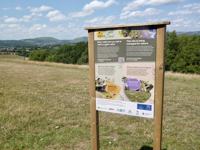
Woodstock Pool is a picturesque freshwater marsh located in Monmouthshire, Wales. Spanning over an area of approximately 20 acres, it is a natural oasis that comprises a combination of lake, pool, pond, and wetland habitats. The pool is situated within the enchanting grounds of Woodstock House, surrounded by lush greenery and diverse wildlife.

The pool itself is fed by a small stream, which ensures a constant supply of fresh water. Its calm and serene surface is adorned with various water plants, such as lilies and reeds, creating a stunning natural spectacle. These aquatic plants provide shelter and food for a wide array of water-dwelling creatures.

Woodstock Pool is home to a diverse range of wildlife species, making it a popular destination for nature enthusiasts. Birdwatchers can spot a variety of water birds, including ducks, herons, and kingfishers, as well as migratory species during the appropriate seasons. The surrounding woodlands are inhabited by woodland birds, while the wetland areas attract amphibians and reptiles such as frogs and newts.

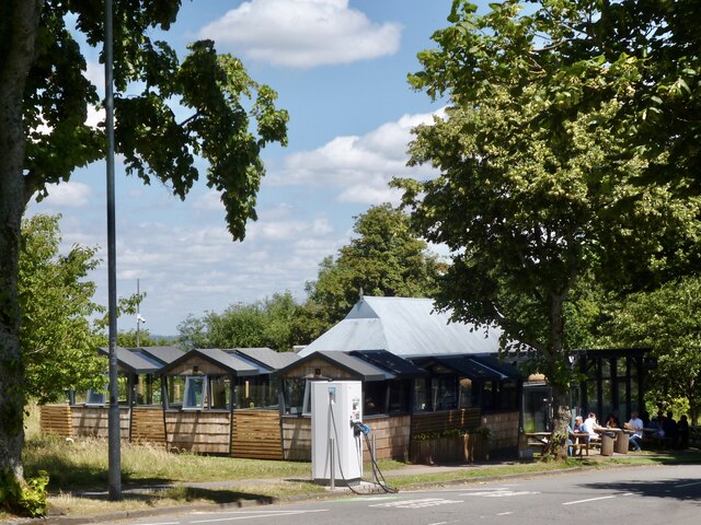
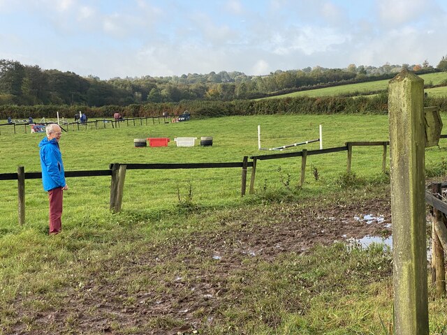
Visitors to Woodstock Pool can enjoy peaceful walks along its banks, taking in the tranquility of the surroundings. The pool is also a great spot for fishing, with anglers often trying their luck to catch freshwater fish such as carp and tench.

Overall, Woodstock Pool is a natural haven offering a diverse range of habitats and wildlife. Its beauty and serenity make it a perfect destination for those seeking a peaceful escape into nature.

If you have any feedback on the listing, please let us know in the comments section below.

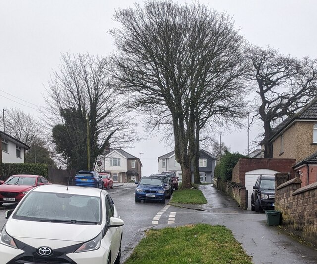
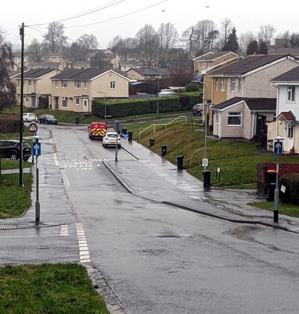
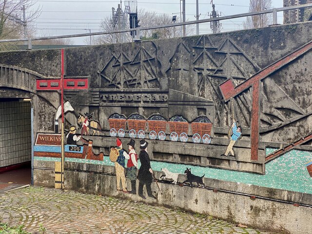
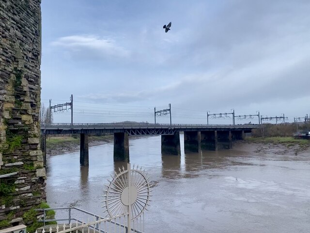
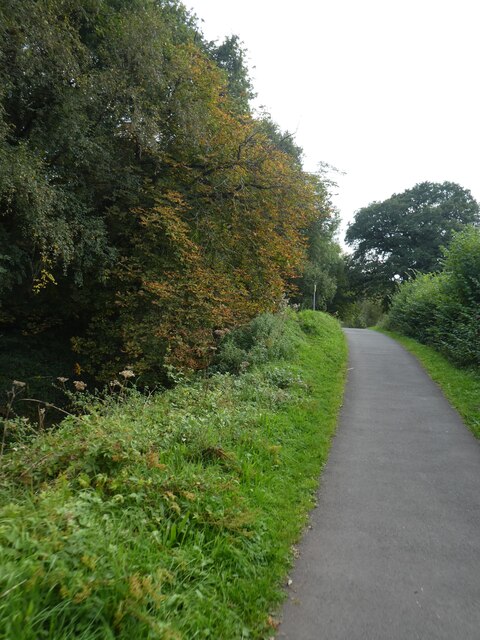
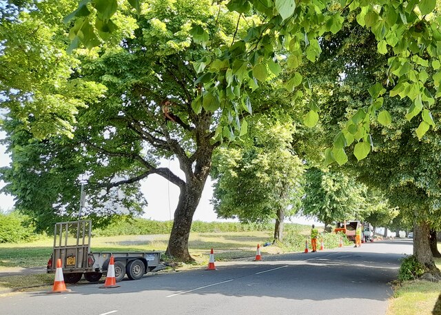
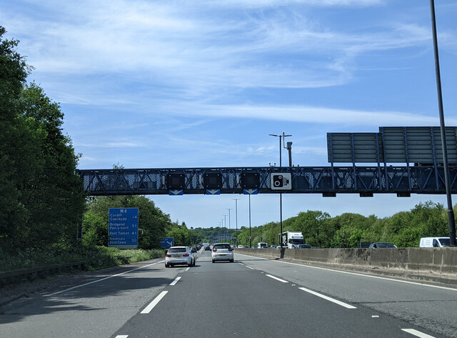
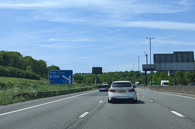
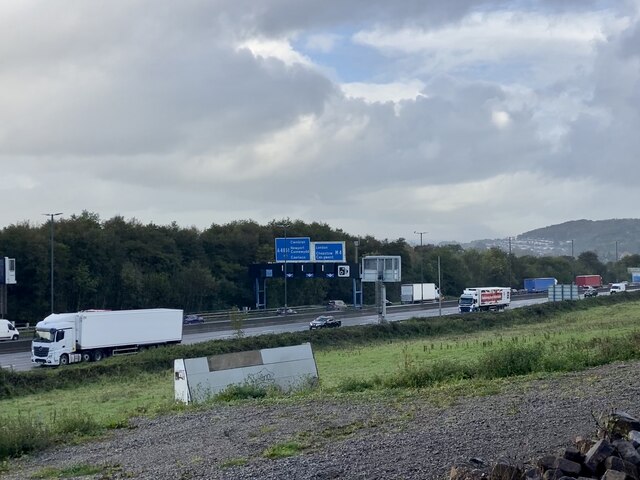
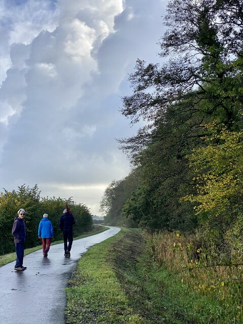
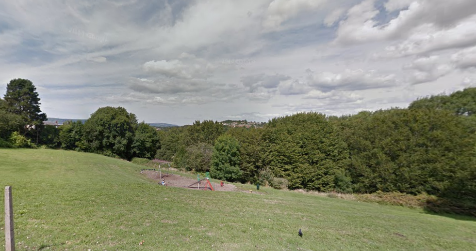
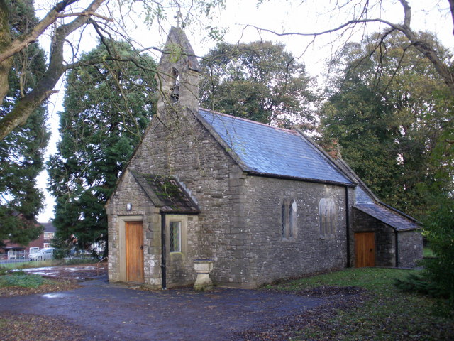
Woodstock Pool Images

Images are sourced within 2km of 51.604331/-3.0123936 or Grid Reference ST2989. Thanks to Geograph Open Source API. All images are credited.

Deciduous trees in winter, Westfield Drive, Malpas, Newport Looking up Westfield Drive towards Malpas Road in January 2024.
The broken white lines are at the Westfield Avenue junction.
Deciduous trees in winter, Westfield Drive, Malpas, Newport
Looking up Westfield Drive towards Malpas Road in January 2024. The broken white lines are at the Westfield Avenue junction.
Narrow part of Westfield Drive, Malpas, Newport Most of Westfield Drive is two-way. The narrow section ahead, between 
Westfield Way and Huxley Green is one-way (direction away from the camera).
A red-edged triangular sign indicating two-way traffic is in the background.
Narrow part of Westfield Drive, Malpas, Newport
Most of Westfield Drive is two-way. The narrow section ahead, between Westfield Way and Huxley Green is one-way (direction away from the camera). A red-edged triangular sign indicating two-way traffic is in the background.
Underpass wall decoration
Railway bridge over River Usk Viewed from alongside Newport Castle.
Railway bridge over River Usk
Viewed from alongside Newport Castle.
Newport Castle
Newport Castle
Cycle route by Monmouthshire and Brecon Canal north of Allt-yr-yn
Bridge over the overgrown Monmouthshire and Brecon Canal The Monmouthshire and Brecon Canal (popularly referred to as the Mon & Brec) was originally two separate canals: the Brecknock & Abergavenny Canal, and the Monmouthshire Canal. The 35-mile navigable section seen today is mostly the former. Following discussions in the 1790s, it was decided to link the two canals at Pontymoile. The Monmouthshire Canal, including a branch from Malpas to Crumlin, was opened in 1799 with the Brecknock & Abergavenny extending from Brecon to Gilwern by 1800, finally reaching Pontymoile by 1812.

Though originally constructed to transport coal, lime and agricultural products the canal was used extensively by ironmasters and industrialists as their main transport network, bringing the raw iron ore up the canal from Newport to Llanfoist Wharf and thence by tramroads to the iron works and returning with trams loaded with iron, the finished product. 

In 1880 the Monmouthshire & Brecon Canals were taken over by the Great Western Railway. Within 35 years, commercial carrying had all but ceased. Throughout the 20th century various parts of the Monmouthshire Canal were filled in for road construction. Both canals were abandoned by the early 1960s but restoration work from Brecon to Pontymoile began in 1968 following vigorous campaigning by canal enthusiasts. Recent developments have included a complete regeneration of the terminus at Brecon, and various works continue to reclaim the navigation between Pontymoile and Newport. The Blaenavon area and a section of the canal were granted World Heritage status in 2000 in recognition of its historical significance. 
<span class="nowrap"><a title="https://canalrivertrust.org.uk/enjoy-the-waterways/canal-and-river-network/monmouthshire-and-brecon-canal" rel="nofollow ugc noopener" href="https://canalrivertrust.org.uk/enjoy-the-waterways/canal-and-river-network/monmouthshire-and-brecon-canal">Link</a><img style="margin-left:2px;" alt="External link" title="External link - shift click to open in new window" src="https://s1.geograph.org.uk/img/external.png" width="10" height="10"/></span>  Canal and River Trust
Bridge over the overgrown Monmouthshire and Brecon Canal
The Monmouthshire and Brecon Canal (popularly referred to as the Mon & Brec) was originally two separate canals: the Brecknock & Abergavenny Canal, and the Monmouthshire Canal. The 35-mile navigable section seen today is mostly the former. Following discussions in the 1790s, it was decided to link the two canals at Pontymoile. The Monmouthshire Canal, including a branch from Malpas to Crumlin, was opened in 1799 with the Brecknock & Abergavenny extending from Brecon to Gilwern by 1800, finally reaching Pontymoile by 1812. Though originally constructed to transport coal, lime and agricultural products the canal was used extensively by ironmasters and industrialists as their main transport network, bringing the raw iron ore up the canal from Newport to Llanfoist Wharf and thence by tramroads to the iron works and returning with trams loaded with iron, the finished product. In 1880 the Monmouthshire & Brecon Canals were taken over by the Great Western Railway. Within 35 years, commercial carrying had all but ceased. Throughout the 20th century various parts of the Monmouthshire Canal were filled in for road construction. Both canals were abandoned by the early 1960s but restoration work from Brecon to Pontymoile began in 1968 following vigorous campaigning by canal enthusiasts. Recent developments have included a complete regeneration of the terminus at Brecon, and various works continue to reclaim the navigation between Pontymoile and Newport. The Blaenavon area and a section of the canal were granted World Heritage status in 2000 in recognition of its historical significance. LinkExternal link Canal and River Trust
Old lock on Monmouthshire and Brecon Canal The Monmouthshire and Brecon Canal (popularly referred to as the Mon & Brec) was originally two separate canals: the Brecknock & Abergavenny Canal, and the Monmouthshire Canal. The 35-mile navigable section seen today is mostly the former. Following discussions in the 1790s, it was decided to link the two canals at Pontymoile. The Monmouthshire Canal, including a branch from Malpas to Crumlin, was opened in 1799 with the Brecknock & Abergavenny extending from Brecon to Gilwern by 1800, finally reaching Pontymoile by 1812.

Though originally constructed to transport coal, lime and agricultural products the canal was used extensively by ironmasters and industrialists as their main transport network, bringing the raw iron ore up the canal from Newport to Llanfoist Wharf and thence by tramroads to the iron works and returning with trams loaded with iron, the finished product. 

In 1880 the Monmouthshire & Brecon Canals were taken over by the Great Western Railway. Within 35 years, commercial carrying had all but ceased. Throughout the 20th century various parts of the Monmouthshire Canal were filled in for road construction. Both canals were abandoned by the early 1960s but restoration work from Brecon to Pontymoile began in 1968 following vigorous campaigning by canal enthusiasts. Recent developments have included a complete regeneration of the terminus at Brecon, and various works continue to reclaim the navigation between Pontymoile and Newport. The Blaenavon area and a section of the canal were granted World Heritage status in 2000 in recognition of its historical significance. 
<span class="nowrap"><a title="https://canalrivertrust.org.uk/enjoy-the-waterways/canal-and-river-network/monmouthshire-and-brecon-canal" rel="nofollow ugc noopener" href="https://canalrivertrust.org.uk/enjoy-the-waterways/canal-and-river-network/monmouthshire-and-brecon-canal">Link</a><img style="margin-left:2px;" alt="External link" title="External link - shift click to open in new window" src="https://s1.geograph.org.uk/img/external.png" width="10" height="10"/></span>  Canal and River Trust
Old lock on Monmouthshire and Brecon Canal
The Monmouthshire and Brecon Canal (popularly referred to as the Mon & Brec) was originally two separate canals: the Brecknock & Abergavenny Canal, and the Monmouthshire Canal. The 35-mile navigable section seen today is mostly the former. Following discussions in the 1790s, it was decided to link the two canals at Pontymoile. The Monmouthshire Canal, including a branch from Malpas to Crumlin, was opened in 1799 with the Brecknock & Abergavenny extending from Brecon to Gilwern by 1800, finally reaching Pontymoile by 1812. Though originally constructed to transport coal, lime and agricultural products the canal was used extensively by ironmasters and industrialists as their main transport network, bringing the raw iron ore up the canal from Newport to Llanfoist Wharf and thence by tramroads to the iron works and returning with trams loaded with iron, the finished product. In 1880 the Monmouthshire & Brecon Canals were taken over by the Great Western Railway. Within 35 years, commercial carrying had all but ceased. Throughout the 20th century various parts of the Monmouthshire Canal were filled in for road construction. Both canals were abandoned by the early 1960s but restoration work from Brecon to Pontymoile began in 1968 following vigorous campaigning by canal enthusiasts. Recent developments have included a complete regeneration of the terminus at Brecon, and various works continue to reclaim the navigation between Pontymoile and Newport. The Blaenavon area and a section of the canal were granted World Heritage status in 2000 in recognition of its historical significance. LinkExternal link Canal and River Trust
Trees overhanging the canal by NCN49 The Monmouthshire and Brecon Canal (popularly referred to as the Mon & Brec) was originally two separate canals: the Brecknock & Abergavenny Canal, and the Monmouthshire Canal. The 35-mile navigable section seen today is mostly the former. Following discussions in the 1790s, it was decided to link the two canals at Pontymoile. The Monmouthshire Canal, including a branch from Malpas to Crumlin, was opened in 1799 with the Brecknock & Abergavenny extending from Brecon to Gilwern by 1800, finally reaching Pontymoile by 1812.

Though originally constructed to transport coal, lime and agricultural products the canal was used extensively by ironmasters and industrialists as their main transport network, bringing the raw iron ore up the canal from Newport to Llanfoist Wharf and thence by tramroads to the iron works and returning with trams loaded with iron, the finished product. 

In 1880 the Monmouthshire & Brecon Canals were taken over by the Great Western Railway. Within 35 years, commercial carrying had all but ceased. Throughout the 20th century various parts of the Monmouthshire Canal were filled in for road construction. Both canals were abandoned by the early 1960s but restoration work from Brecon to Pontymoile began in 1968 following vigorous campaigning by canal enthusiasts. Recent developments have included a complete regeneration of the terminus at Brecon, and various works continue to reclaim the navigation between Pontymoile and Newport. The Blaenavon area and a section of the canal were granted World Heritage status in 2000 in recognition of its historical significance. 
<span class="nowrap"><a title="https://canalrivertrust.org.uk/enjoy-the-waterways/canal-and-river-network/monmouthshire-and-brecon-canal" rel="nofollow ugc noopener" href="https://canalrivertrust.org.uk/enjoy-the-waterways/canal-and-river-network/monmouthshire-and-brecon-canal">Link</a><img style="margin-left:2px;" alt="External link" title="External link - shift click to open in new window" src="https://s1.geograph.org.uk/img/external.png" width="10" height="10"/></span>  Canal and River Trust
Trees overhanging the canal by NCN49
The Monmouthshire and Brecon Canal (popularly referred to as the Mon & Brec) was originally two separate canals: the Brecknock & Abergavenny Canal, and the Monmouthshire Canal. The 35-mile navigable section seen today is mostly the former. Following discussions in the 1790s, it was decided to link the two canals at Pontymoile. The Monmouthshire Canal, including a branch from Malpas to Crumlin, was opened in 1799 with the Brecknock & Abergavenny extending from Brecon to Gilwern by 1800, finally reaching Pontymoile by 1812. Though originally constructed to transport coal, lime and agricultural products the canal was used extensively by ironmasters and industrialists as their main transport network, bringing the raw iron ore up the canal from Newport to Llanfoist Wharf and thence by tramroads to the iron works and returning with trams loaded with iron, the finished product. In 1880 the Monmouthshire & Brecon Canals were taken over by the Great Western Railway. Within 35 years, commercial carrying had all but ceased. Throughout the 20th century various parts of the Monmouthshire Canal were filled in for road construction. Both canals were abandoned by the early 1960s but restoration work from Brecon to Pontymoile began in 1968 following vigorous campaigning by canal enthusiasts. Recent developments have included a complete regeneration of the terminus at Brecon, and various works continue to reclaim the navigation between Pontymoile and Newport. The Blaenavon area and a section of the canal were granted World Heritage status in 2000 in recognition of its historical significance. LinkExternal link Canal and River Trust
Pruning Lime trees, Ridgeway, Newport  The lower branches, overhanging the road are being removed.
Pruning Lime trees, Ridgeway, Newport
The lower branches, overhanging the road are being removed.
Speed camera gantry on the M4 heading west
On the M4 heading west, approaching junction 27
Nature isn’t Neat, Ridgeway, Newport Nature isn’t Neat is a project that involves five local authorities in the preserved county of Gwent.
Grasslands in green spaces are allowed to grow in the spring and summer to create meadow areas and space for nature.
This notice board says “Please be patient, overtime wildflowers will become more abundant and the area more attractive”.
Nature isn’t Neat, Ridgeway, Newport
Nature isn’t Neat is a project that involves five local authorities in the preserved county of Gwent. Grasslands in green spaces are allowed to grow in the spring and summer to create meadow areas and space for nature. This notice board says “Please be patient, overtime wildflowers will become more abundant and the area more attractive”.
The Café at Ridgeway, Newport The original shelter and public building on this site  <a title="https://www.geograph.org.uk/photo/1616455" href="https://www.geograph.org.uk/photo/1616455">Link</a> been transformed gradually over the past nine years into what is now a popular café.
The most recent addition being six all-weather eating pods.
The Café at Ridgeway, Newport
The original shelter and public building on this site Link been transformed gradually over the past nine years into what is now a popular café. The most recent addition being six all-weather eating pods.
Old footpath gate The footpath was diverted when the M4 was constructed, as shown clearly on OS maps.
Old footpath gate
The footpath was diverted when the M4 was constructed, as shown clearly on OS maps.
Muddy track The sign on the right indicates that this is a public footpath. However, OS maps show the path a few yards to the south which would avoid this mud.
Muddy track
The sign on the right indicates that this is a public footpath. However, OS maps show the path a few yards to the south which would avoid this mud.
Alongside the M4 motorway
Last of the summer wine Enjoying a canal-side walk.
Last of the summer wine
Enjoying a canal-side walk.
Show me another place!

Woodstock Pool is located at Grid Ref: ST2989 (Lat: 51.604331, Lng: -3.0123936)

Unitary Authority: Newport

Police Authority: Gwent

What 3 Words

///falls.woke.burst. Near Newport

Related Wikis

Newport High School (Wales)

Newport High School (Welsh: Ysgol Uwchradd Casnewydd) is a co-educational secondary school in the Bettws district of the city of Newport, South Wales,...

Malpas, Newport

Malpas is an electoral district (ward) and coterminous community (parish) of the city of Newport, South Wales. The area is governed by the Newport City...

Brynglas

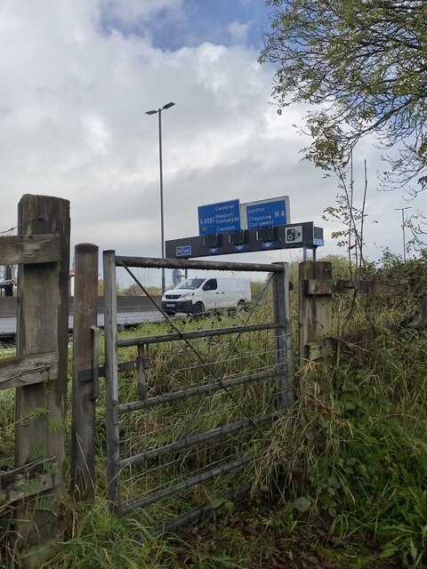
Brynglas is an area of the city of Newport, South Wales, United Kingdom. == Location == Brynglas is situated above the M4 motorway in Newport and famous...

Shaftesbury, Newport

Shaftesbury is a community (civil parish) and coterminous electoral district (ward) of the city of Newport, South Wales. The community is bounded by the...

Barrack Hill

Barrack Hill is an area in Newport, Wales, in the suburb and electoral ward and coterminous community parish of Allt-yr-yn. It is most well known for...

Brynglas Tunnels

The Brynglas Tunnels carry the M4 under Brynglas Hill in Newport, Wales. The 360-metre-long (390 yd) tunnels are the first and only twin–bored tunnels...

Raglan Barracks, Newport

Raglan Barracks is a military installation at Barrack Hill in Allt-yr-yn in Newport, Wales. == History == The barracks were built as a cavalry barracks...

Bettws, Newport

Bettws (Welsh: Betws) is a large modern housing estate, electoral ward and coterminous community (parish) of the city of Newport, South Wales. == Etymology... ==

Nearby Amenities

Located within 500m of 51.604331,-3.0123936
Turning Circle
Lat/Long: 51.6074598/-3.0095094
Turning Circle
Lat/Long: 51.6069283/-3.0097871
Crossing
Crossing: traffic_signals
Crossing Ref: toucan
Lat/Long: 51.6059476/-3.0103314
Traffic Signals
Lat/Long: 51.6053154/-3.0088715
Traffic Signals
Enforcement: traffic_signals
Lat/Long: 51.6055237/-3.0090285
Crossing
Crossing: traffic_signals
Crossing Ref: pelican
Lat/Long: 51.6055294/-3.0089694
Traffic Signals
Lat/Long: 51.6056178/-3.0085342
Traffic Signals
Enforcement: traffic_signals
Lat/Long: 51.6057735/-3.0087038
Traffic Signals
Enforcement: traffic_signals
Lat/Long: 51.6053323/-3.0087842
Bus Stop
Naptan AtcoCode: 5310AWB30524
Naptan NaptanCode: nwpdajw
Lat/Long: 51.6079959/-3.0157119
Bus Stop
Harvester (SW-bound)
Bus: yes
Name Cy: Harvester
Naptan AtcoCode: 5310AWB30548
Network: Newport Bus
Operator: Newport Bus
Public Transport: platform
Ref: nwpdapj
Route Ref: 18;19;23;SJ9;X3;X24
Lat/Long: 51.607166/-3.0081083
Bus Stop
Harvester (NE-bound)
Bus: yes
Name Cy: Harvester
Naptan AtcoCode: 5310AWB30547
Network: Newport Bus
Operator: Newport Bus
Public Transport: platform
Ref: nwpdapg
Route Ref: 18;19;23;SJ9;X3;X24
Lat/Long: 51.6073193/-3.0084033
Bus Stop
Kimberly Park
Bus: yes
Name Cy: Parc Kimberly
Network: Newport Bus
Operator: Newport Bus
Public Transport: platform
Lat/Long: 51.603671/-3.0077569
Waterway: lock_gate
Lat/Long: 51.6020995/-3.0116554
Waterway: lock_gate
Lat/Long: 51.6022489/-3.0118308
Waterway: lock_gate
Lat/Long: 51.6060293/-3.0102072
Waterway: lock_gate
Lat/Long: 51.606218/-3.0101644
Crossing
Crossing: traffic_signals
Crossing Ref: toucan
Lat/Long: 51.6077403/-3.015189
Traffic Calming: choker
Lat/Long: 51.6074869/-3.0171557
Traffic Calming: choker
Lat/Long: 51.6071771/-3.0174347
Traffic Signals
Traffic Signals: emergency
Traffic Signals Direction: both
Lat/Long: 51.6022085/-3.0068097
Traffic Signals
Traffic Signals: emergency
Traffic Signals Direction: both
Lat/Long: 51.6024985/-3.0068614
Crossing
Crossing: traffic_signals
Crossing Ref: pelican
Lat/Long: 51.6057331/-3.0087017
Crossing
Crossing: traffic_signals
Crossing Ref: pelican
Lat/Long: 51.6056761/-3.0088425
Crossing
Crossing: traffic_signals
Crossing Ref: pelican
Lat/Long: 51.6054503/-3.0089598
Crossing
Crossing: traffic_signals
Crossing Ref: pelican
Lat/Long: 51.6053862/-3.0089852
Speed Camera
Direction: 20
Man Made: mast
Mapillary: 206152044486298
Speed Camera: traffic_signals
Lat/Long: 51.6051963/-3.0088774
Speed Camera
Direction: 200
Man Made: mast
Mapillary: 3825931277524332
Speed Camera: traffic_signals
Lat/Long: 51.6059318/-3.0086357
Speed Camera
Direction: 120
Man Made: mast
Mapillary: 978308522979667
Speed Camera: traffic_signals
Lat/Long: 51.6055975/-3.0091882
Place Of Worship
St. Mary's Church
Access: yes
Addr City: Newport
Addr Housename: St. Mary's Church
Addr Postcode: NP20 6GR
Addr Street: Llanover Close
Addr Suburb: Malpas
Alt Name: St Mary's Church
Community Centre: warm_hub
Denomination: anglican
Description: Warm hub
Email: newportnorthma@outlook.com
Internet Access: yes
Internet Access Fee: no
Name Cy: Eglwys y Santes Fair
Opening Hours: Mo[1] 10:30-12:30
Operator Type: religious
Phone: +44 1633 852 828
Religion: christian
Lat/Long: 51.606109/-3.0080872
Power: pole
Lat/Long: 51.6080981/-3.0108601
Power: pole
Lat/Long: 51.6060117/-3.0109245
Power: pole
Lat/Long: 51.6057377/-3.0113027
Social Facility
Blaen-y-pant House
Addr City: Newport
Addr Housename: Blaen-y-pant House
Addr Postcode: NP20 5PX
Addr Street: Blaen-Y-Pant Crescent
Email: blaen-y-pant.house@newport.gov.uk
Name Cy: Tŷ Blaen-y-pant
Opening Hours: 24/7
Operator: Newport City Council
Operator Type: council
Phone: +44 1633 855 548
Social Facility: group_home
Social Facility For: senior
Website: https://www.newport.gov.uk/en/Care-Support/Older-People/Residential-homes/Blaen-y-pant-House.aspx
Wheelchair: yes
Lat/Long: 51.6052048/-3.009601
Malpas Cricket Club
Addr City: Newport
Addr Postcode: NP20 7YB
Addr Street: Bettws Lane
Club: sport
Email: malpascricketclub@gmail.com
Name Cy: Clwb Criced Malpas
Phone: +44 7307 633 508
Sport: cricket
Website: https://www.facebook.com/MalpasCC/
Lat/Long: 51.6066431/-3.012452
Blaen-Y-Pant
Name Cy: Blaen-Y-Pant
Place: neighbourhood
Lat/Long: 51.6037428/-3.0097373
Direction: 215
Generator Method: photovoltaic
Generator Output Electricity: yes
Generator Solar Modules: 10
Generator Source: solar
Generator Type: solar_photovoltaic_panel
Location: roof
Power: generator
Lat/Long: 51.6057406/-3.0073362
Direction: WNW
Generator Method: photovoltaic
Generator Output Electricity: yes
Generator Solar Modules: 10
Generator Source: solar
Generator Type: solar_photovoltaic_panel
Location: roof
Power: generator
Lat/Long: 51.6060739/-3.0057552
Vehicle Inspection
Addr City: Newport
Addr Housenumber: 219
Addr Postcode: NP20 5PP
Addr Street: Malpas Road
Phone: +44 1633 855594
Lat/Long: 51.6021565/-3.0060819
Ableworld
Addr City: Newport
Addr Housenumber: 219
Addr Postcode: NP20 5PP
Addr Street: Malpas Road
Email: newportwales@ableworld.co.uk
Opening Hours: Mo-Sa 09:00-17:00, Su Off
Phone: +44 1633 960 779
Shop: mobility_equipment
Website: https://newport-wales.ableworld.co.uk/
Lat/Long: 51.6022381/-3.0062697
Restaurant
Harvester
Addr City: Newport
Addr Housenumber: 323
Addr Postcode: NP20 6EP
Addr Street: Malpas Road
Brand: Harvester
Brand Wikidata: Q5676915
Brand Wikipedia: en:Harvester (restaurant)
Cuisine: american
Fhrs Id: 339993
Opening Hours: Mo-Su 09:00-22:00
Outdoor Seating: yes
Phone: +44 1633 858 667
Website: https://www.harvester.co.uk/restaurants/wales/harvesterborderernewport
Lat/Long: 51.6077853/-3.0086473
Bus Stop
Bettws Lane (opposite)
Bus: yes
Name Cy: Lôn y Betws
Naptan AtcoCode: 5310AWB30521
Network: Newport Bus
Operator: Newport Bus
Public Transport: platform
Ref: nwpajat
Route Ref: 16A;16C;SJ10
Lat/Long: 51.6056234/-3.0096417
Bus Stop
Bettws Lane (after)
Bus: yes
Name Cy: Lôn y Betws
Naptan AtcoCode: 5310AWB30522
Network: Newport Bus
Operator: Newport Bus
Public Transport: platform
Ref: nwpajaw
Route Ref: 16A;16C;18;SJ10
Lat/Long: 51.6056379/-3.0094058
Bus Stop
Blaen-y-Pant
Bus: yes
Name Cy: Siop Pysgod a Sglodion
Network: Newport Bus
Operator: Newport Bus
Public Transport: platform
Lat/Long: 51.6036888/-3.0109189
Bus Stop
Kimberly Park
Bus: yes
Name Cy: Parc Kimberly
Network: Newport Bus
Operator: Newport Bus
Public Transport: platform
Lat/Long: 51.6027998/-3.0074304
Direction: 190
Generator Method: photovoltaic
Generator Output Electricity: yes
Generator Solar Modules: 16
Generator Source: solar
Generator Type: solar_photovoltaic_panel
Location: roof
Power: generator
Lat/Long: 51.6073339/-3.0088343
Direction: 285
Generator Method: photovoltaic
Generator Output Electricity: yes
Generator Solar Modules: 8
Generator Source: solar
Generator Type: solar_photovoltaic_panel
Location: roof
Power: generator
Lat/Long: 51.606404/-3.0092266
Direction: 170
Generator Method: photovoltaic
Generator Output Electricity: yes
Generator Solar Modules: 14
Generator Source: solar
Generator Type: solar_photovoltaic_panel
Location: roof
Power: generator
Lat/Long: 51.6057227/-3.0091703
Direction: S
Generator Method: photovoltaic
Generator Output Electricity: yes
Generator Solar Modules: 10
Generator Source: solar
Generator Type: solar_photovoltaic_panel
Location: roof
Power: generator
Lat/Long: 51.6053312/-3.0178526
Albion Rovers FC
Access: yes
Addr City: Newport
Addr Postcode: NP20 5QB
Addr Street: Malpas Road
Club: sport
Sport: football
Website: https://twitter.com/albionroversfc_
Wikidata: Q4712551
Wikipedia: en:Albion Rovers F.C. (Newport)
Lat/Long: 51.6025698/-3.0079525
Cafe
Pavilion Coffee
Addr City: Newport
Addr Postcode: NP20 5QB
Addr Street: Malpas Road
Cuisine: coffee_shop
Opening Hours: Mo-Fr 09:00-14:00; Sa 09:00-12:30; Su off
Outdoor Seating: yes
Phone: +44 1633 854 749
Website: https://www.instagram.com/thepavilioncoffeeshop
Lat/Long: 51.6025598/-3.0080168
Bettws Active Living Centre
Addr City: Newport
Addr Postcode: NP20 7YB
Addr Street: Bettws Lane
Email: activelivingcentre@newportlive.co.uk
Leisure: fitness_centre
Opening Hours: Mo-Fr 16:00-22:00; Sa-Su 08:00-20:00
Operator: Newport Live
Operator Type: private_non-profit
Phone: +44 1633 656 757
Sport: swimming;table_tennis;gymnastics;fitness
Website: https://www.newportlive.co.uk/en/venues/active-living-centre/
Wheelchair: yes
Lat/Long: 51.6073553/-3.0161994
Access: customers
Addr City: Newport
Addr Housename: Bettws Active Living Centre
Addr Postcode: NP20 7YB
Addr Street: Bettws Lane
Covered: yes
Email: activelivingcentre@newportlive.co.uk
Fee: yes
Indoor: yes
Leisure: pitch
Lit: yes
Opening Hours: Mo-Fr 16:00-22:00; Sa-Su 08:00-20:00
Operator: Newport Live
Operator Type: private_non-profit
Phone: +44 1633 656 757
Sport: table_tennis
Website: https://www.newportlive.co.uk/en/venues/active-living-centre/
Wheelchair: yes
Lat/Long: 51.6074336/-3.0163818
The data included in this document is from www.openstreetmap.org. The data is made available under ODbL.

Have you been to Woodstock Pool?

Leave your review of Woodstock Pool below (or comments, questions and feedback).