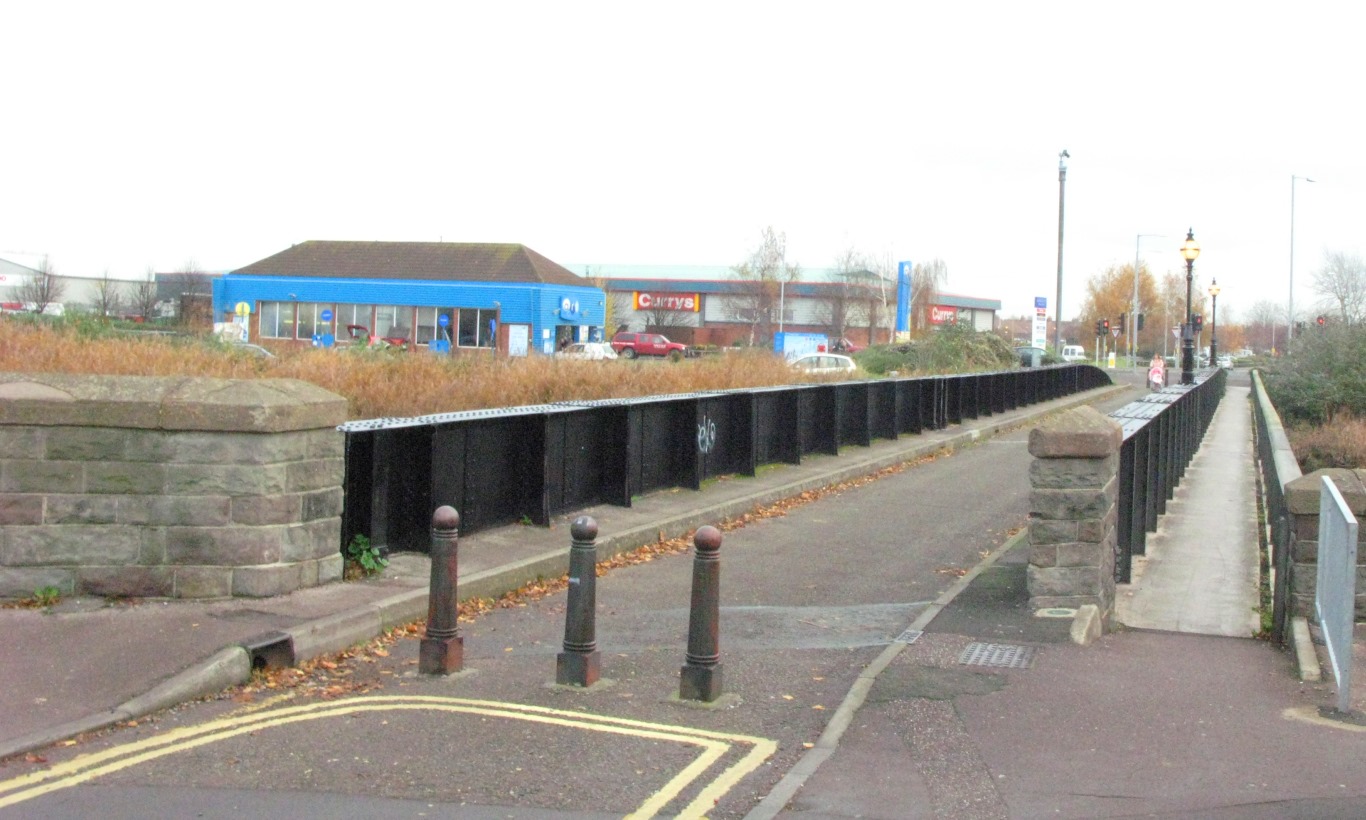
Bridgwater Dock
Lake, Pool, Pond, Freshwater Marsh in Somerset Sedgemoor
England
Bridgwater Dock
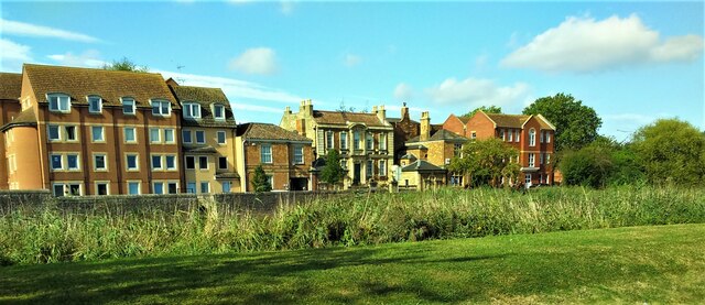
Bridgwater Dock, located in Somerset, England, is a freshwater marsh area that serves as a vital habitat for various species of wildlife. This picturesque site covers an area of approximately 10 hectares and is renowned for its natural beauty and ecological significance.
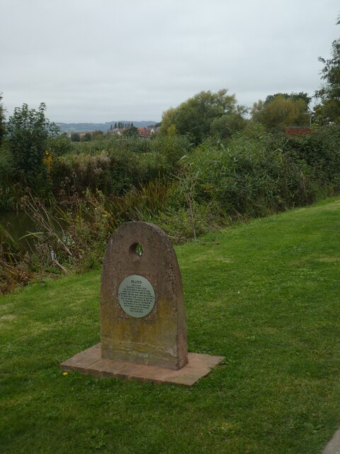
The dock is formed by the confluence of the River Parrett and the River Brue, creating a tranquil water body that attracts numerous waterfowl and migratory birds. The still waters of the dock provide an ideal breeding ground for several species, including ducks, swans, and herons. Birdwatchers flock to this area to observe the diverse avian population that resides or visits during different seasons.
Surrounding the dock is a lush green landscape, featuring a mix of tall reeds, grasses, and water plants. These plants thrive in the nutrient-rich soils and provide shelter and food for various amphibians and insects. Frogs, toads, and dragonflies are commonly sighted in this marshy habitat.
The Bridgwater Dock is not only a haven for wildlife but also serves an important role in flood prevention. The marshland acts as a natural buffer, absorbing excess rainfall and reducing the risk of flooding in the surrounding areas. This function is particularly crucial during the rainy seasons when the rivers can swell and pose a threat to nearby communities.
Overall, Bridgwater Dock in Somerset is a remarkable example of a freshwater marsh ecosystem. Its diverse flora and fauna, combined with its ecological and flood prevention benefits, make it a significant and cherished natural landmark in the region.
If you have any feedback on the listing, please let us know in the comments section below.
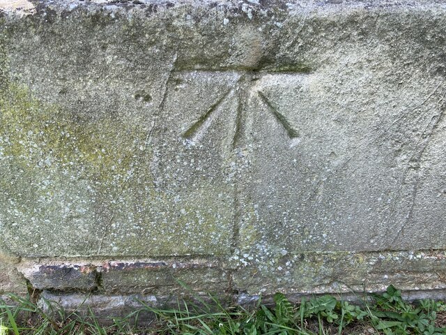
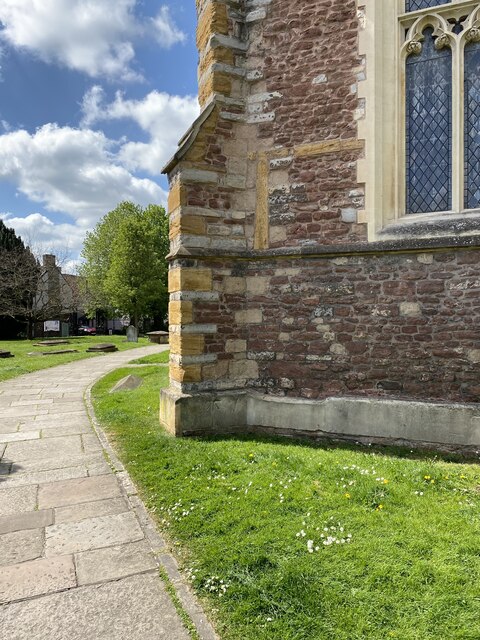
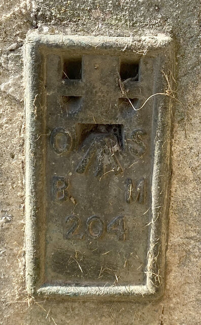
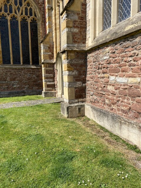
Bridgwater Dock Images
Images are sourced within 2km of 51.132607/-3.0067571 or Grid Reference ST2937. Thanks to Geograph Open Source API. All images are credited.

Bridgwater Dock is located at Grid Ref: ST2937 (Lat: 51.132607, Lng: -3.0067571)
Administrative County: Somerset
District: Sedgemoor
Police Authority: Avon and Somerset
What 3 Words
///maker.shortens.crouches. Near Bridgwater, Somerset
Nearby Locations
Related Wikis

Chandos Glass Cone
The Chandos Glass Cone in Bridgwater, in the English county of Somerset, was built in 1725 as a kiln for a glassworks. The remains have been scheduled...
Telescopic Bridge, Bridgwater
The Telescopic Bridge (locally known as the Black Bridge) in Bridgwater, within the English county of Somerset, was built in 1871 to carry a railway over...

King Square, Bridgwater
King Square in Bridgwater within the English county of Somerset was laid out with large Georgian houses between 1770 and 1800 on the site of Bridgwater...
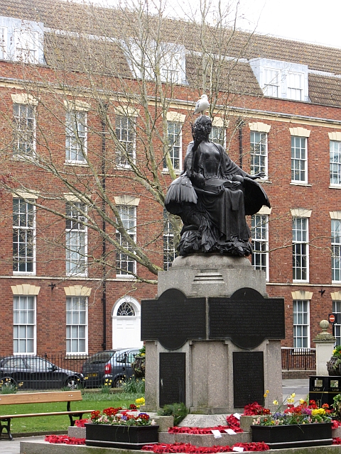
Bridgwater War Memorial
Bridgwater War Memorial is a Grade II* listed war memorial located on King Square in Bridgwater, Somerset, England, on the site previously occupied by...

Castle Street, Bridgwater
Castle Street in Bridgwater, Somerset, England was built in the 1720s, on a site previously occupied by Bridgwater Castle, by Benjamin Holloway or Fort...
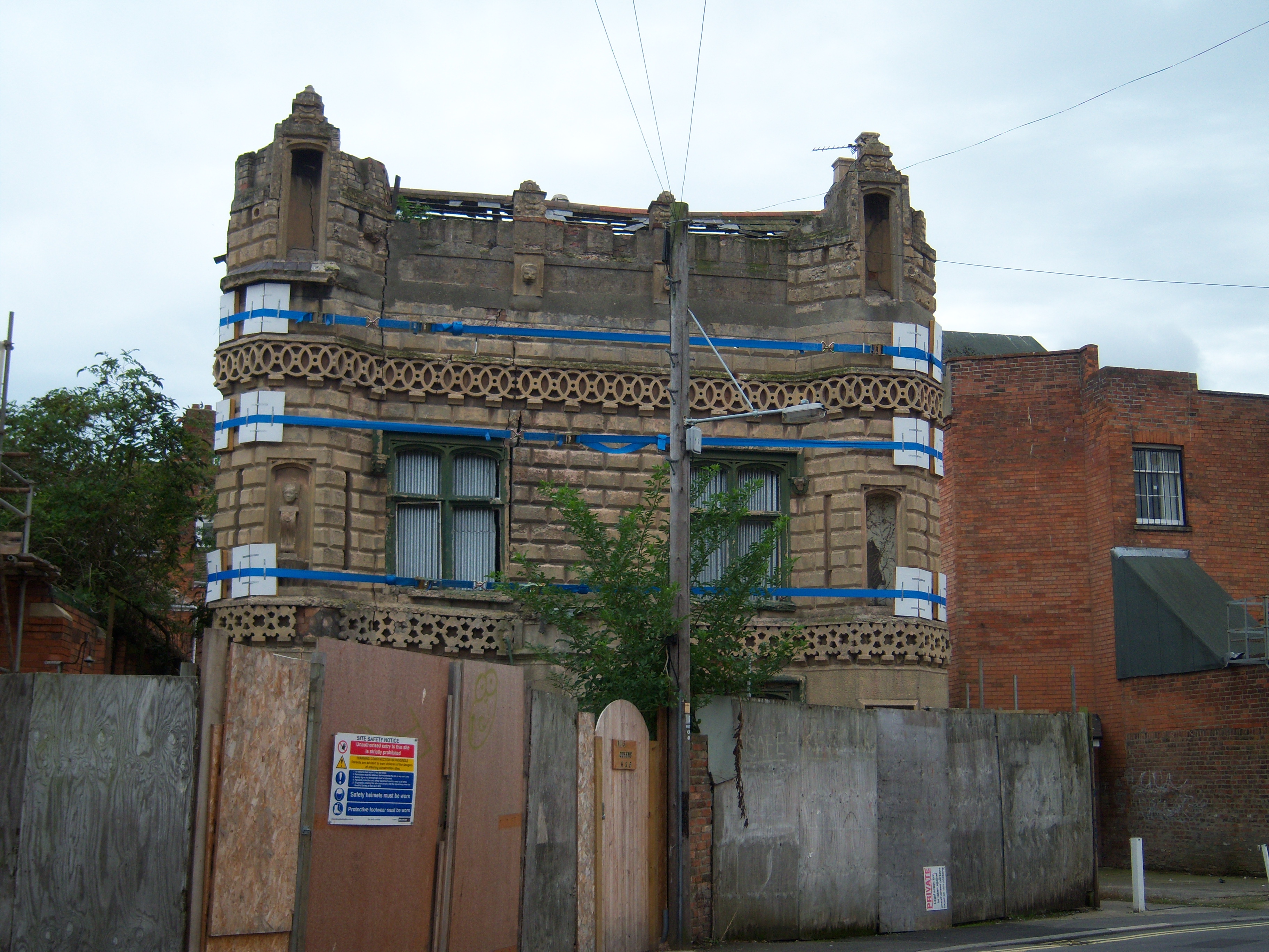
Castle House, Bridgwater
Castle House is a house in Bridgwater, Somerset, England. Castle House is associated with two important Sedgemoor families, the Boards and the Ackermans...

Bridgwater Town Hall
Bridgwater Town Hall is a municipal building in the High Street, Bridgwater, Somerset, England. The town hall, which was the headquarters of Bridgwater...

Lions House, Bridgwater
The Lions House on West Quay in Bridgwater, Somerset, England was built around 1725 and has been designated as a Grade I listed building.It was built between...
Nearby Amenities
Located within 500m of 51.132607,-3.0067571Have you been to Bridgwater Dock?
Leave your review of Bridgwater Dock below (or comments, questions and feedback).