Codale Tarn
Lake, Pool, Pond, Freshwater Marsh in Westmorland South Lakeland
England
Codale Tarn
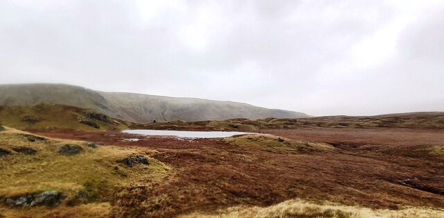
Codale Tarn is a picturesque freshwater tarn located in the county of Westmorland, England. Nestled within the stunning Lake District National Park, this small body of water is often referred to as a lake, pool, pond, or even a freshwater marsh due to its varied characteristics.
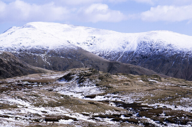
Situated at an altitude of approximately 380 meters above sea level, Codale Tarn covers an area of about 1.5 acres. It is surrounded by rolling hills and lush green meadows, offering visitors breathtaking views of the surrounding landscape. The tarn is fed by several small streams that flow down from the surrounding fells, ensuring a constant supply of freshwater.
The water in Codale Tarn is known for its exceptional clarity, allowing for incredible visibility of the submerged vegetation and wildlife. It is home to a wide range of aquatic plants, including lilies and reeds, which provide a habitat for various species of fish and invertebrates.
The tarn is a popular spot for fishing enthusiasts, who come here to try their luck at catching native brown trout and perch. Anglers can be seen patiently casting their lines from the shore or from small boats that are occasionally seen drifting across the calm waters.
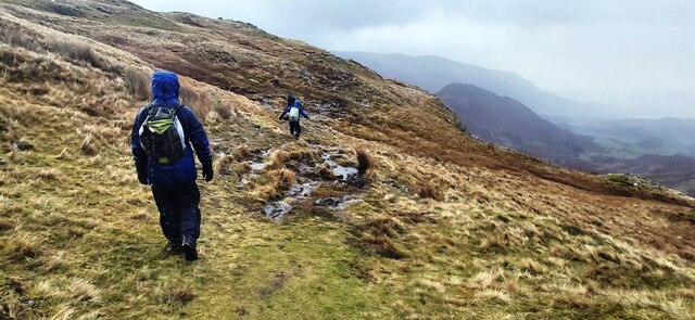
Aside from fishing, Codale Tarn also attracts many nature lovers and hikers who come here to explore the surrounding trails and enjoy the tranquility of the area. The tarn is accessible via a footpath that leads from a nearby car park, making it easily reachable for visitors.
Overall, Codale Tarn is a hidden gem within the Lake District, offering a peaceful and picturesque retreat for those seeking a connection with nature and a chance to immerse themselves in the beauty of Westmorland's landscape.
If you have any feedback on the listing, please let us know in the comments section below.
Codale Tarn Images
Images are sourced within 2km of 54.469738/-3.0864806 or Grid Reference NY2908. Thanks to Geograph Open Source API. All images are credited.


![Wall end The end of a dry stone wall but my interest is in the geology. See my blog ‘From Pyroclastic Flows to Lapilli Tuffs — Navigating the Langdale Pikes’. 2023. Out &amp; About ... &lt;<span class="nowrap"><a title="http://www.fhithich.uk/?p=33150&gt;" rel="nofollow ugc noopener" href="http://www.fhithich.uk/?p=33150&gt;">Link</a><img style="margin-left:2px;" alt="External link" title="External link - shift click to open in new window" src="https://s1.geograph.org.uk/img/external.png" width="10" height="10"/></span> [accessed 16 September 2023]
](https://s2.geograph.org.uk/geophotos/07/59/84/7598490_8bae3efb.jpg)
![Close up of pyroclastic rock See my blog ‘From Pyroclastic Flows to Lapilli Tuffs — Navigating the Langdale Pikes’. 2023. Out &amp; About ... &lt;<span class="nowrap"><a title="http://www.fhithich.uk/?p=33150&gt;" rel="nofollow ugc noopener" href="http://www.fhithich.uk/?p=33150&gt;">Link</a><img style="margin-left:2px;" alt="External link" title="External link - shift click to open in new window" src="https://s1.geograph.org.uk/img/external.png" width="10" height="10"/></span> [accessed 16 September 2023]](https://s1.geograph.org.uk/geophotos/07/59/84/7598493_d1230887.jpg)
![Bedded lapilli tufts See my blog ‘From Pyroclastic Flows to Lapilli Tuffs — Navigating the Langdale Pikes’. 2023. Out &amp; About ... &lt;<span class="nowrap"><a title="http://www.fhithich.uk/?p=33150&gt;" rel="nofollow ugc noopener" href="http://www.fhithich.uk/?p=33150&gt;">Link</a><img style="margin-left:2px;" alt="External link" title="External link - shift click to open in new window" src="https://s1.geograph.org.uk/img/external.png" width="10" height="10"/></span> [accessed 16 September 2023]](https://s2.geograph.org.uk/geophotos/07/59/84/7598494_4390f2ca.jpg)


Codale Tarn is located at Grid Ref: NY2908 (Lat: 54.469738, Lng: -3.0864806)
Administrative County: Cumbria
District: South Lakeland
Police Authority: Cumbria
What 3 Words
///materials.encroach.clearing. Near Ambleside, Cumbria
Nearby Locations
Related Wikis

Tarn Crag (Easedale)
Tarn Crag is a fell in the Central Fells of the English Lake District. Strictly the name refers only to the rock face looking down upon Easedale Tarn,...

Sergeant Man
Sergeant Man is a fell in the English Lake District. It is properly a secondary summit of High Raise, but is given a separate chapter by Alfred Wainwright...
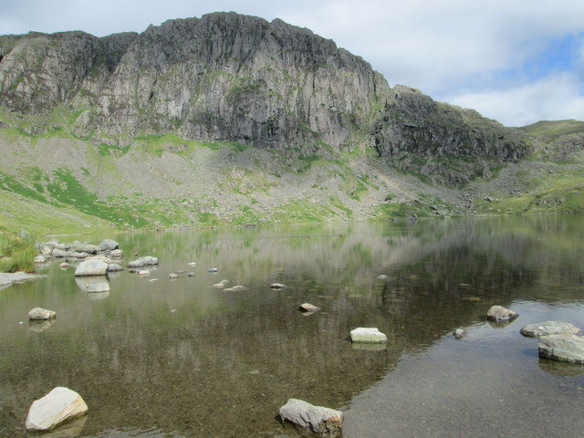
Easedale Tarn
Easedale Tarn is a tarn in the centre of the English Lake District, about two miles west of the village of Grasmere. It lies in a hollow between Tarn Crag...

Blea Rigg
Blea Rigg is a fell in the English Lake District, lying between the valleys of Easedale and Great Langdale. One of the Central Fells, it is a broad plateau...
Pavey Ark
Pavey Ark is a fell in the English county of Cumbria. It is one of the Langdale Pikes, lying to the north of Great Langdale, in the heart of the Lake District...

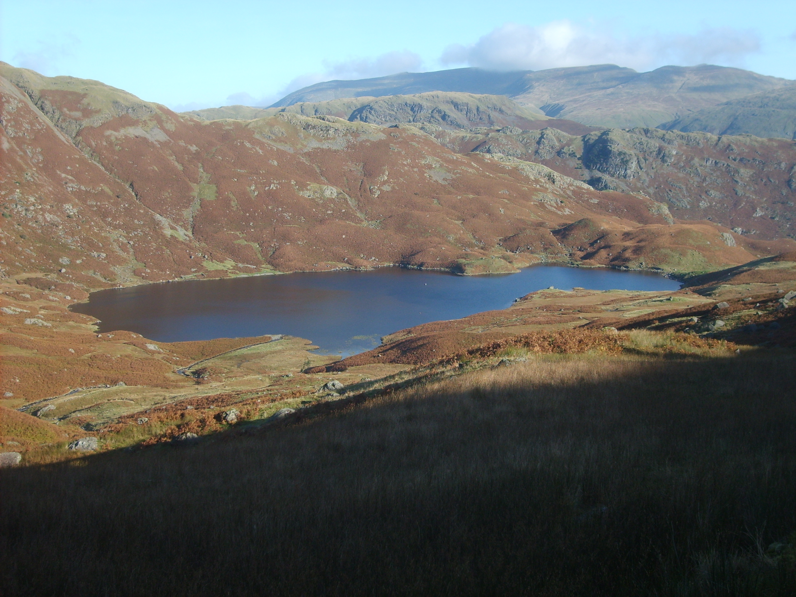
Stickle Tarn, Langdale
Stickle Tarn is a small tarn near Harrison Stickle in Lake District, England. The tarn was enlarged by the building of a stone dam in 1838 and is used...
Calf Crag
Calf Crag is a fell in the English Lake District, on the eastern side of the High Raise massif. == Topography == The spine of the Central Fells runs on...

High Raise (Langdale)
High Raise is a fell in the Central Fells of the English Lake District, not to be confused with another High Raise situated in the Far Eastern Fells. High...
Nearby Amenities
Located within 500m of 54.469738,-3.0864806Have you been to Codale Tarn?
Leave your review of Codale Tarn below (or comments, questions and feedback).