Newtown
Settlement in Somerset Sedgemoor
England
Newtown
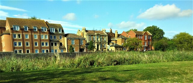
Newtown is a small village located in the county of Somerset, England. Situated approximately 8 miles south of the town of Bridgwater, Newtown is nestled in the picturesque countryside of the Somerset Levels. With a population of around 500 residents, it is a close-knit community known for its tranquility and natural beauty.
The village is surrounded by lush green fields, meandering rivers, and rolling hills, making it an ideal location for those seeking a peaceful retreat from the bustling city life. The landscape is dotted with traditional cottages and farmhouses, giving Newtown a charming and rustic appeal.
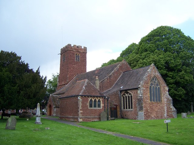
Despite its small size, Newtown has a rich history. It is believed to have been established in the 11th century and was mentioned in the Domesday Book. The village has retained much of its historic character, with a few notable landmarks, including the St. Mary's Church, which dates back to the 12th century.
While primarily an agricultural community, Newtown does have a few amenities to offer its residents and visitors. There is a village pub, providing a cozy spot to enjoy a pint and some hearty British fare. Additionally, the village has a primary school, ensuring that the young residents have access to quality education.
For those looking to explore beyond the village, Newtown provides easy access to the nearby Quantock Hills, an Area of Outstanding Natural Beauty. Visitors can enjoy walking trails, cycling routes, and breathtaking views of the surrounding countryside.
In conclusion, Newtown, Somerset is a charming village that offers a peaceful and idyllic setting for residents and visitors alike, with its scenic landscapes, historic character, and proximity to natural attractions.
If you have any feedback on the listing, please let us know in the comments section below.
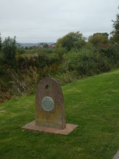
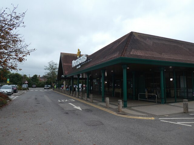
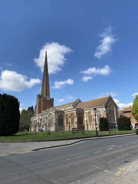
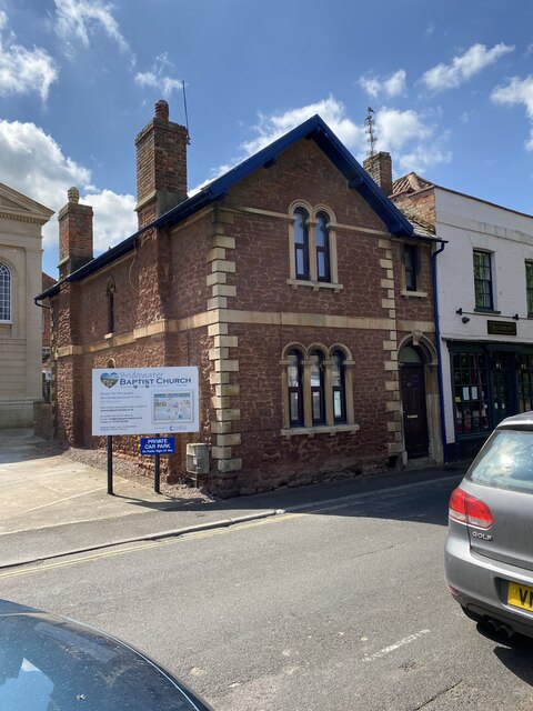
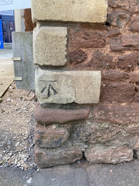
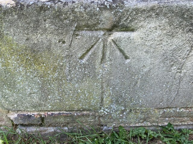
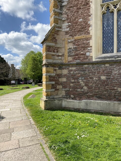
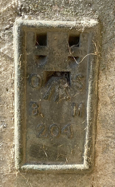
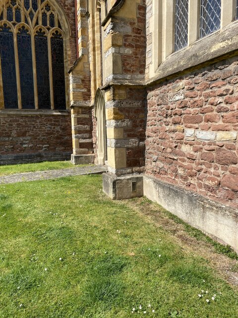
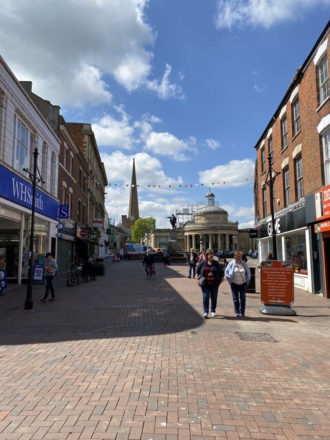
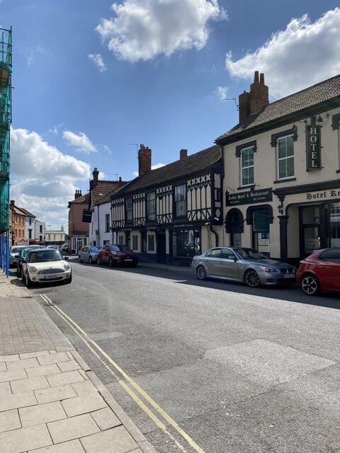
Newtown Images
Images are sourced within 2km of 51.134129/-3.01259 or Grid Reference ST2937. Thanks to Geograph Open Source API. All images are credited.

Newtown is located at Grid Ref: ST2937 (Lat: 51.134129, Lng: -3.01259)
Administrative County: Somerset
District: Sedgemoor
Police Authority: Avon and Somerset
What 3 Words
///placidly.obliging.unless. Near Bridgwater, Somerset
Nearby Locations
Related Wikis
St George's Church, Wembdon
The Anglican St George's Church was founded in the 13th century in the village of Wembdon within the English county of Somerset. The current building dates...

Chandos Glass Cone
The Chandos Glass Cone in Bridgwater, in the English county of Somerset, was built in 1725 as a kiln for a glassworks. The remains have been scheduled...
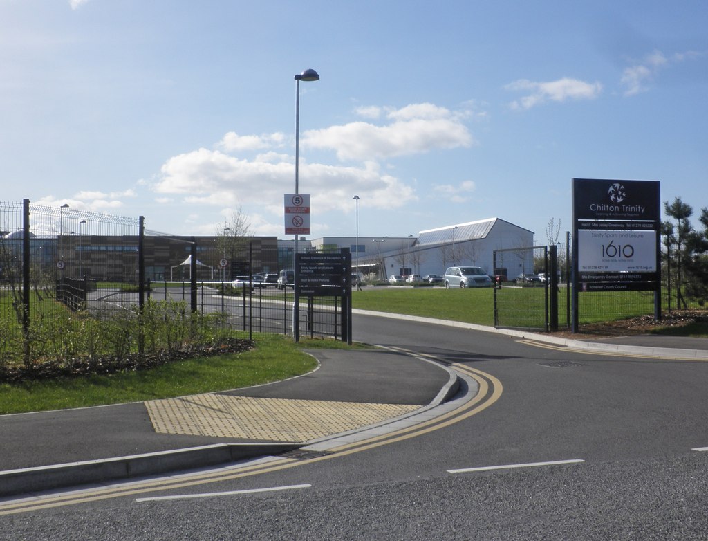
Chilton Trinity School
Chilton Trinity School is a coeducational secondary school located at Chilton Trinity, Bridgwater, Somerset, England. Bridgwater was selected as the 1st...
Wembdon
Wembdon is a semi-rural village near Bridgwater, in Somerset, England. Wembdon is now home to an Anglican church, a small shop (combined with the post...

Scott Cinema, Bridgwater
Scott Cinema (originally the Odeon Cinema) was a cinema in Bridgwater, Somerset England. Built in 1936, it was notable for its Art Deco style. == History... ==

King Square, Bridgwater
King Square in Bridgwater within the English county of Somerset was laid out with large Georgian houses between 1770 and 1800 on the site of Bridgwater...
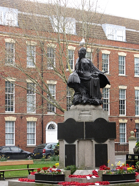
Bridgwater War Memorial
Bridgwater War Memorial is a Grade II* listed war memorial located on King Square in Bridgwater, Somerset, England, on the site previously occupied by...

Bridgwater Town Hall
Bridgwater Town Hall is a municipal building in the High Street, Bridgwater, Somerset, England. The town hall, which was the headquarters of Bridgwater...
Nearby Amenities
Located within 500m of 51.134129,-3.01259Have you been to Newtown?
Leave your review of Newtown below (or comments, questions and feedback).