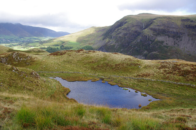
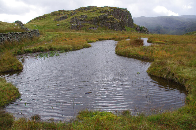
Snipeshow Tarn
Lake, Pool, Pond, Freshwater Marsh in Cumberland Allerdale
England
Snipeshow Tarn
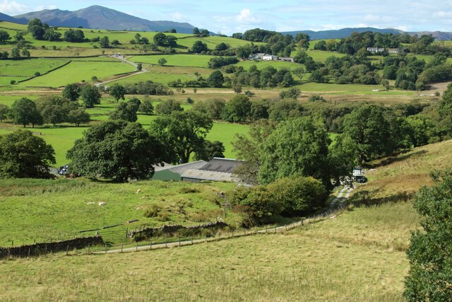
Snipeshow Tarn, located in Cumberland, is a stunning freshwater marsh that offers visitors a serene and picturesque environment. With its diverse ecosystem and natural beauty, it is a popular destination for nature enthusiasts and outdoor lovers.
The tarn covers an area of approximately 10 acres and is surrounded by lush vegetation, including reeds, grasses, and various types of aquatic plants. This creates a habitat that supports a wide range of wildlife, including birds, fish, and amphibians.
The tarn is also home to a variety of bird species, making it a haven for birdwatchers. Visitors can spot species such as herons, kingfishers, ducks, and geese. The tranquil setting provides an ideal opportunity to observe these birds in their natural habitat.
For those interested in fishing, Snipeshow Tarn offers a diverse range of fish species, including perch, roach, and pike. Anglers can enjoy a relaxing day by the water, trying their luck at catching these freshwater fish.
The tarn is easily accessible, with a designated parking area nearby. There are also walking trails and viewing platforms around the tarn, allowing visitors to explore the area and take in the stunning views. Picnic tables and benches are scattered throughout the site, providing visitors with a place to relax and enjoy a meal amidst the beautiful surroundings.
Snipeshow Tarn is a hidden gem in Cumberland, offering a peaceful and natural escape for all who visit. Whether you are a birdwatcher, angler, or simply seeking some tranquility in nature, this freshwater marsh is a must-visit destination.
If you have any feedback on the listing, please let us know in the comments section below.
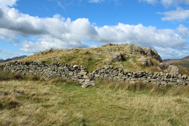
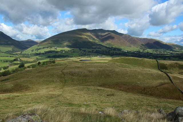
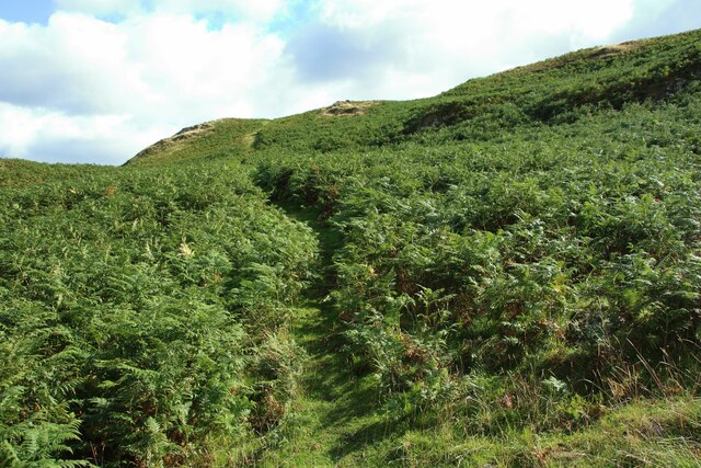
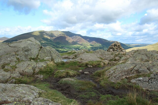
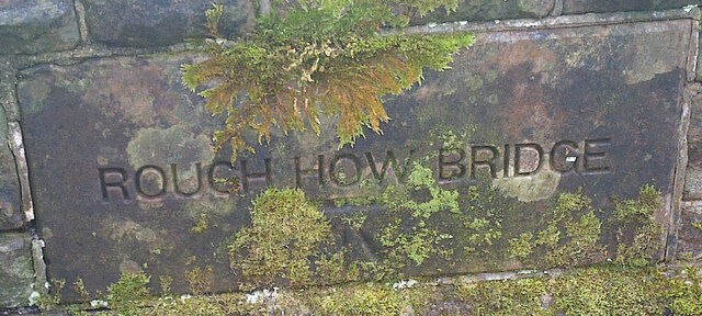
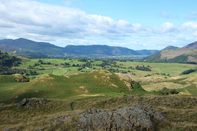
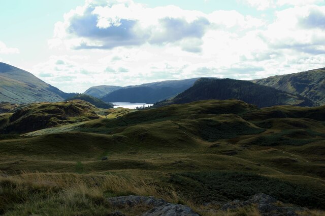
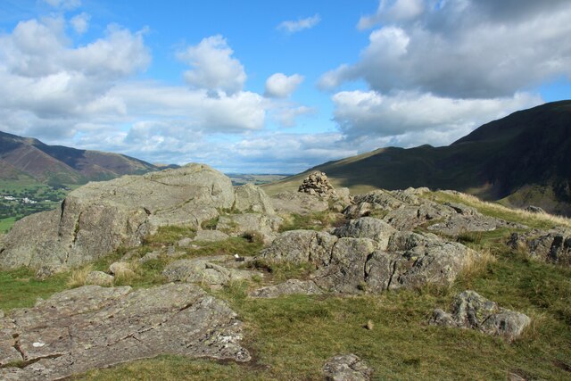
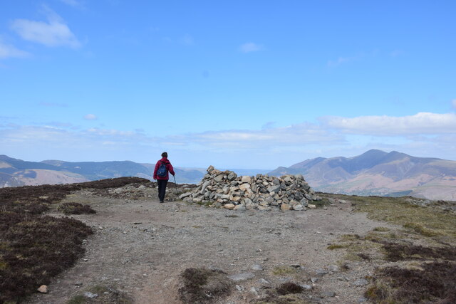
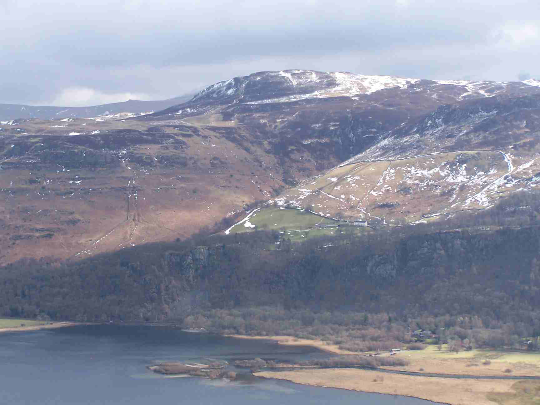
Snipeshow Tarn Images
Images are sourced within 2km of 54.579932/-3.0914844 or Grid Reference NY2921. Thanks to Geograph Open Source API. All images are credited.

Snipeshow Tarn is located at Grid Ref: NY2921 (Lat: 54.579932, Lng: -3.0914844)
Administrative County: Cumbria
District: Allerdale
Police Authority: Cumbria
What 3 Words
///love.remodels.pavilions. Near Keswick, Cumbria
Nearby Locations
Related Wikis

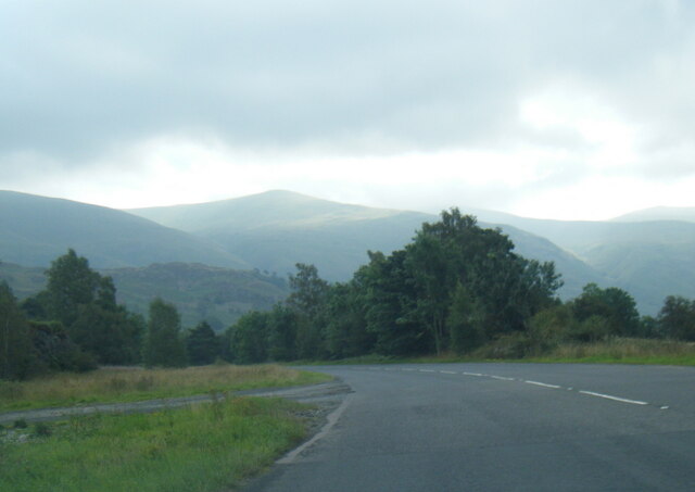
High Rigg
High Rigg is a small fell located in the English Lake District, approximately three miles southeast of the town of Keswick. It occupies an unusual position...

St John's Church, St John's in the Vale
St John's Church is in the valley of St John's in the Vale, Cumbria, England. It is an active Anglican parish church in the deanery of Derwent, the archdeaconry...
Castlerigg
Castlerigg is an area of Keswick, Cumbria, England. Castlerigg is named after a hill in the immediate area. Until the early twentieth century much of the...
Bleaberry Fell
Bleaberry Fell is a fell in the Lake District in Cumbria, England, with a height of 590 metres (1,936 ft). It stands on the main watershed between Borrowdale...

Walla Crag
Walla Crag is a fell in the English Lake District, near Keswick. The fell is a short walk from Keswick and overlooks Derwentwater. == Topography == The...
Black Sands (album)
Black Sands is the fourth studio album by English producer Bonobo. It was released on 29 March 2010. == Artwork == The cover features a photograph taken...

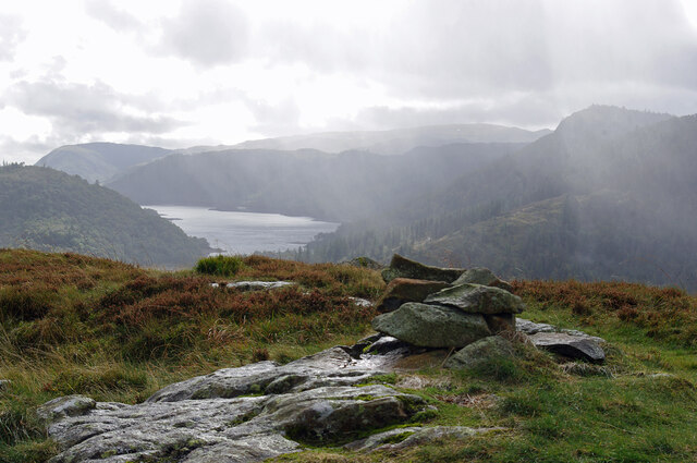
Raven Crag
Raven Crag is a fell in the English Lake District that overlooks Thirlmere reservoir. It has subsidiary summits The Benn and Castle Crag. == Topography... ==

St John's in the Vale
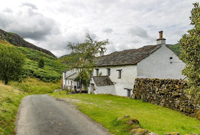
St John’s in the Vale is a glacial valley in the Lake District National Park, Cumbria, England. Within the vale are a number of farms and small settlements...
Related Videos
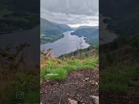

Lake District Walks | Latrigg (the Wainwright overlooking Keswick)
On a gloriously sunny day in March 2018, with snow still on some hill tops, Neil, Tish and chocolate lab, The Mighty Pudding™ ...

Raven Crag - One of the best views in the Lake District?
This small fell at the north end of Thirlmere is a steep climb but with views like that its well worth it! #hiking #lakedistrict ...

How to Get Lost on the Castlerigg Stone Circle, Lake District Walking Trail
WE GOT LOST! ♂️ Join us, Leah, Marc and our trusty Pug Hershel, on an unforgettable adventure in the Lake District!
Nearby Amenities
Located within 500m of 54.579932,-3.0914844Have you been to Snipeshow Tarn?
Leave your review of Snipeshow Tarn below (or comments, questions and feedback).