Spittle Pond

Lake, Pool, Pond, Freshwater Marsh in Dorset South Somerset

England

Spittle Pond

Crossroads between Chard and Wambrook, known locally as Red Post looking north along Palfrey's Lane
Crossroads between Chard and Wambrook, known locally as Red Post Credit: Andrew Longton

Spittle Pond is a picturesque freshwater marsh located in the county of Dorset, England. Nestled amidst the scenic countryside, the pond is a tranquil haven for both wildlife and visitors alike. With its serene ambiance and diverse ecosystem, it is a popular destination for nature enthusiasts and birdwatchers.

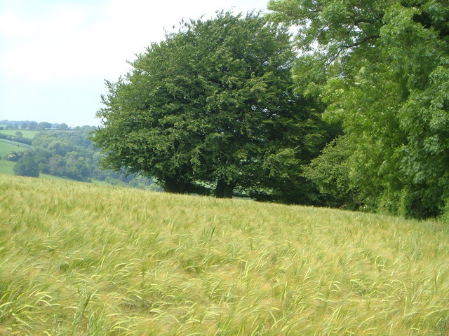
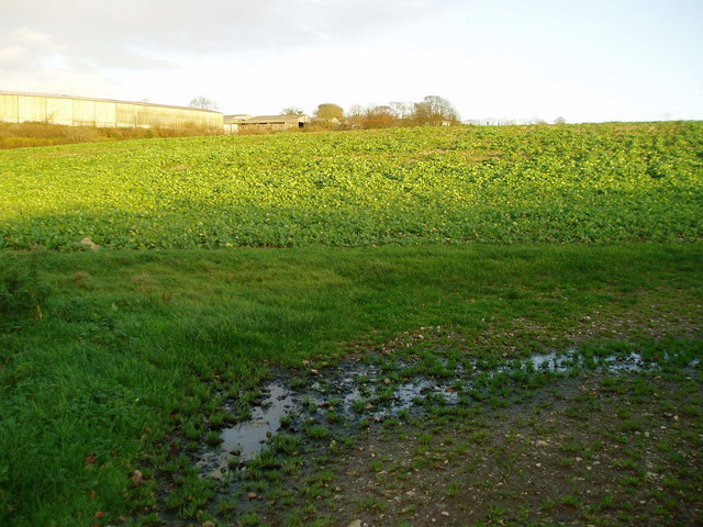
Covering an area of approximately 10 acres, Spittle Pond is characterized by its calm and reflective waters. The pond is surrounded by lush vegetation, including reeds, rushes, and water lilies, which provide a habitat for numerous species of birds, insects, and amphibians. The rich biodiversity of the area makes it an important site for conservation and ecological studies.

The pond is a haven for birdlife, serving as a vital stopover for migratory birds during their long journeys. Visitors can spot a variety of avian species, including herons, ducks, swans, and geese. It is also a breeding ground for many water birds, such as coots and moorhens, which nest among the reeds.

For those interested in exploring the pond's natural wonders, there are several walking trails and observation points. These vantage points offer magnificent views of the pond and its inhabitants, allowing visitors to immerse themselves in the beauty of nature. The calm and peaceful atmosphere of Spittle Pond makes it an ideal spot for a leisurely stroll or a quiet picnic by the water's edge.

Overall, Spittle Pond in Dorset is a captivating freshwater marsh that showcases the beauty and importance of wetland ecosystems. Its diverse flora and fauna, coupled with its serene ambiance, make it a must-visit destination for nature enthusiasts and those seeking a retreat into nature's embrace.

If you have any feedback on the listing, please let us know in the comments section below.

Spittle Pond Images

Images are sourced within 2km of 50.875526/-3.0028692 or Grid Reference ST2908. Thanks to Geograph Open Source API. All images are credited.

Crossroads between Chard and Wambrook, known locally as Red Post looking north along Palfrey's Lane
Crossroads between Chard and Wambrook, known locally as Red Post
looking north along Palfrey's Lane
Thatched Tollhouse This thatched tollhouse is now a private residence and is on Snowdon Hill at the junction of the A30 (right) and a minor road (left) leading to Wambrook.
Thatched Tollhouse
This thatched tollhouse is now a private residence and is on Snowdon Hill at the junction of the A30 (right) and a minor road (left) leading to Wambrook.
Old thatched toll house on A30 west of Chard
View on Foxdon Hill Looking west from the footpath between Chard and Wadeford across a field of barley. 12:21 pm.
View on Foxdon Hill
Looking west from the footpath between Chard and Wadeford across a field of barley. 12:21 pm.
Wambrook: field near Four Gates Looking south-south-west. A public footpath runs on the far side of the hedge on the left
Wambrook: field near Four Gates
Looking south-south-west. A public footpath runs on the far side of the hedge on the left
Wambrook: landscape near Four Gates Stubble field and cloud. Looking east-north-east by a public footpath to Snowdon Farm, Chard
Wambrook: landscape near Four Gates
Stubble field and cloud. Looking east-north-east by a public footpath to Snowdon Farm, Chard
Chalk field south of Snowdon Hill A small clump of trees in the midst of this large field on the hills composed of a chalk outlier overlooking Chard. Taken from the same spot as <a href="https://www.geograph.org.uk/photo/441834">ST3107 : View from south of Snowdon Hill</a>.
Chalk field south of Snowdon Hill
A small clump of trees in the midst of this large field on the hills composed of a chalk outlier overlooking Chard. Taken from the same spot as ST3107 : View from south of Snowdon Hill.
Bounds Lane At the point where, with breathtaking views of the country to the east, the lane performs right-angled bend, and Chard footpath 5/22 head off left down the hill (see <a href="https://www.geograph.org.uk/photo/450266">ST3107 : View towards Chard from footpath below Bounds Lane</a>). For information about Bounds Lane, see <a href="https://www.geograph.org.uk/photo/448694">ST3107 : Bounds Lane</a>, taken some 800 metres down the lane, and <a href="https://www.geograph.org.uk/photo/450329">ST3107 : View through a bank on Bounds Lane</a>.
Bounds Lane
At the point where, with breathtaking views of the country to the east, the lane performs right-angled bend, and Chard footpath 5/22 head off left down the hill (see ST3107 : View towards Chard from footpath below Bounds Lane). For information about Bounds Lane, see ST3107 : Bounds Lane, taken some 800 metres down the lane, and ST3107 : View through a bank on Bounds Lane.
Barleymow's Farm Shop By the A30 just west of Chard.
Barleymow's Farm Shop
By the A30 just west of Chard.
A30 west of Chard Looking from outside of <a href="https://www.geograph.org.uk/photo/1454693">ST3009 : Barleymow's Farm Shop</a> to the west down Snowdon Hill.
A30 west of Chard
Looking from outside of ST3009 : Barleymow's Farm Shop to the west down Snowdon Hill.
The Red Post, between Chard and Wambrook Unusual to see a red signpost like this.
The Red Post, between Chard and Wambrook
Unusual to see a red signpost like this.
Barleymow's Farm Shop, on the A30, near Chard
Slopes of Foxdon Hill From footpath CH5/63, looking across a steep field on the northwest slopes of the hill, across the line of a former rifle range. Across the valley, in <a href="https://www.geograph.org.uk/gridref/ST3009">ST3009</a> is a steep lane from Wadeford to the ridge-top A30.
Slopes of Foxdon Hill
From footpath CH5/63, looking across a steep field on the northwest slopes of the hill, across the line of a former rifle range. Across the valley, in ST3009 is a steep lane from Wadeford to the ridge-top A30.
North on Green Lane Typical Somerset lane.
North on Green Lane
Typical Somerset lane.
Local traffic on Green Lane
Cotley Lane
Cotley Lane
Palfrey's Lane Route to Red Post.
Palfrey's Lane
Route to Red Post.
Field of Brassicas Buildings at Snowdon Hill Farm can be seen in the distance.
Field of Brassicas
Buildings at Snowdon Hill Farm can be seen in the distance.
Show me another place!

Spittle Pond is located at Grid Ref: ST2908 (Lat: 50.875526, Lng: -3.0028692)

Administrative County: Somerset

District: South Somerset

Police Authority: Avon and Somerset

What 3 Words

///below.skyrocket.claps. Near Chard, Somerset

Related Wikis

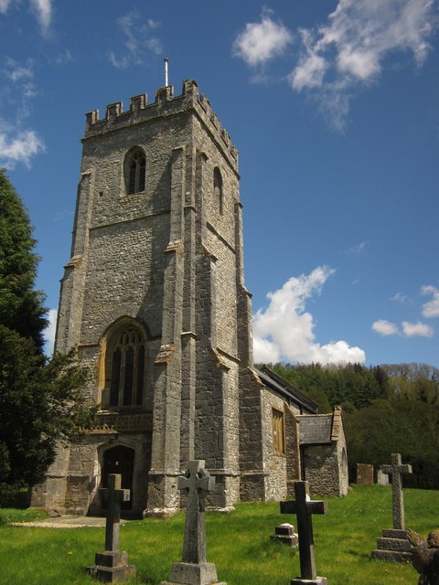
Church of St Mary, Wambrook

The Anglican Church of St Mary in Wambrook, Somerset, England, was built in the 13th century. It is a Grade II* listed building. == History == The church...

Wambrook

Wambrook is a village and civil parish in the Blackdown Hills, Somerset, England. The village lies about 2 miles (3 km) southwest of the town of Chard...

Snowdon Hill Quarry

Snowdon Hill Quarry (grid reference ST312089) is a 0.6 hectare geological Site of Special Scientific Interest on the western outskirts of Chard in Somerset...

St Andrew's Church, Whitestaunton

The Church of St Andrew in Whitestaunton, Somerset, England, dates from the 13th century and has been designated as a Grade I listed building.The Perpendicular...

Whitestaunton

Whitestaunton is a village and civil parish in the South Somerset district of Somerset, England. The parish includes the hamlet of Northay. It was known...
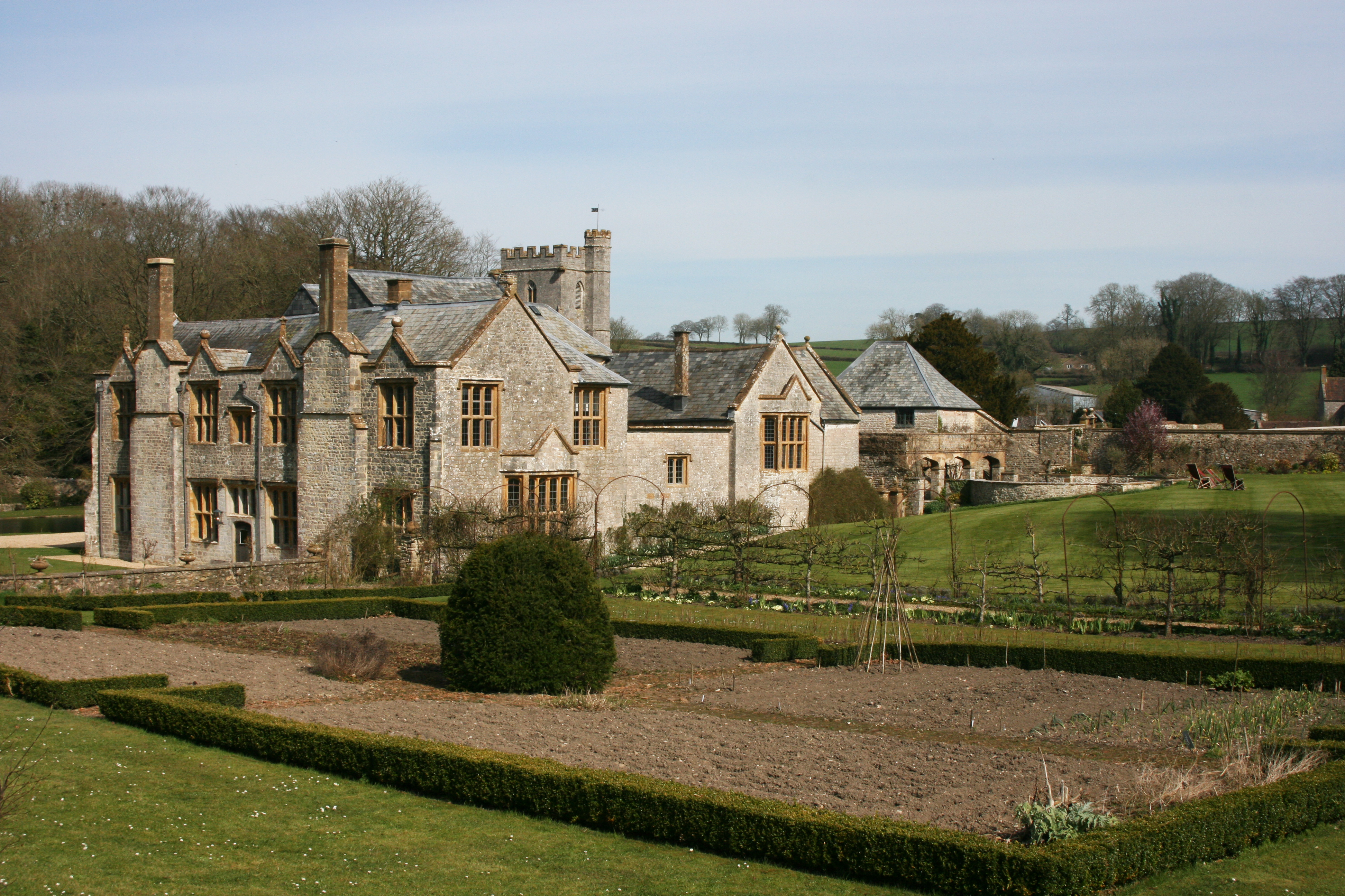
Whitestaunton Manor

Whitestaunton Manor in the village of Whitestaunton, Somerset, England was built in the 15th century as a Hall house and has been designated as a Grade...

Combe St Nicholas

Combe St Nicholas is a village and parish in Somerset, England, situated 2 miles (3.2 km) northwest of Chard and 10 miles (16 km) from Taunton in the South...

Church of St Nicholas, Combe St Nicholas

The Church of St Nicholas in Combe St Nicholas, Somerset, England is Norman in origin, with the chancel and lower stage of the tower dating from the 13th...

Nearby Amenities

Located within 500m of 50.875526,-3.0028692
Weston Farm
Place: farm
Lat/Long: 50.8761555/-3.007373
Power: pole
Source: bing
Transformer: distribution
Lat/Long: 50.8757326/-3.0037844
Power: pole
Source: bing
Transformer: distribution
Lat/Long: 50.8767616/-3.0092749
Power: pole
Source: bing
Lat/Long: 50.8762183/-3.0085132
Power: pole
Source: bing
Lat/Long: 50.8757224/-3.007856
Power: pole
Source: bing
Lat/Long: 50.8755566/-3.0073491
Power: pole
Source: bing
Lat/Long: 50.8754685/-3.006531
Power: pole
Source: bing
Lat/Long: 50.8753103/-3.0050974
Power: pole
Source: bing
Lat/Long: 50.8745182/-3.0051336
Power: pole
Source: bing
Lat/Long: 50.8735915/-3.0052382
Power: pole
Source: bing
Lat/Long: 50.8727461/-3.0052556
Power: pole
Source: bing
Lat/Long: 50.872097/-3.0053106
The data included in this document is from www.openstreetmap.org. The data is made available under ODbL.

Have you been to Spittle Pond?

Leave your review of Spittle Pond below (or comments, questions and feedback).