Dale Bottom
Settlement in Cumberland Allerdale
England
Dale Bottom
Dale Bottom is a small village located in the county of Cumberland, England. Situated in the picturesque Lake District National Park, it is surrounded by rolling hills, lush green valleys, and stunning natural landscapes.
The village is known for its tranquil and idyllic atmosphere, making it a popular destination for nature lovers and those seeking a peaceful retreat. Dale Bottom is home to a tight-knit community, with a small population of friendly locals who take great pride in their village.
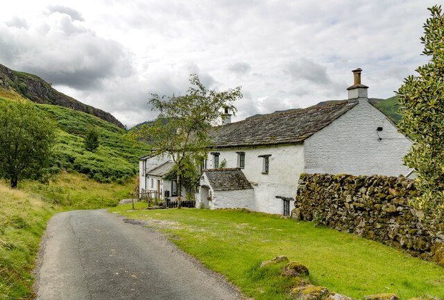
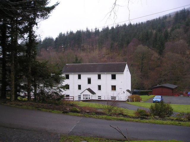
The architecture of Dale Bottom reflects its rich history, with charming cottages and traditional stone buildings lining the streets. These buildings serve as a reminder of the village's rural heritage and add to its unique character.
The village offers a range of amenities for its residents, including a local pub, a village hall, and a small convenience store. While it may not have extensive facilities, it is well-connected to nearby towns and cities, ensuring that residents have access to essential services.
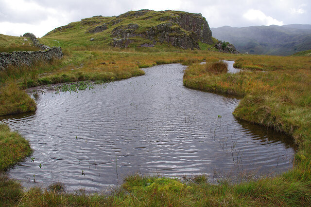
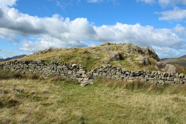
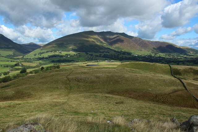
One of the major attractions of Dale Bottom is its proximity to the natural wonders of the Lake District. Outdoor enthusiasts can explore the nearby hiking trails, go fishing in the local rivers, or simply enjoy the breathtaking beauty of the surrounding countryside.
Overall, Dale Bottom is a charming and peaceful village in the heart of the Lake District. Its natural beauty, friendly community, and rich history make it an appealing destination for visitors and a delightful place to call home for its residents.
If you have any feedback on the listing, please let us know in the comments section below.
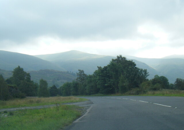
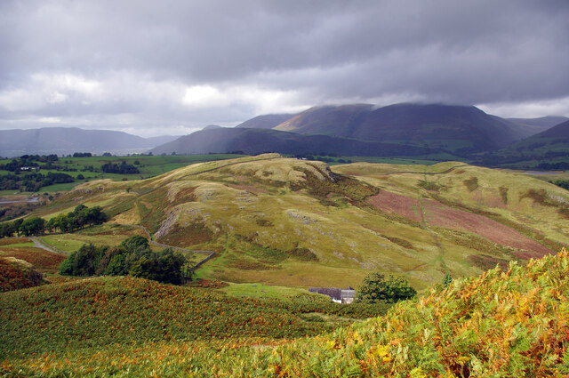
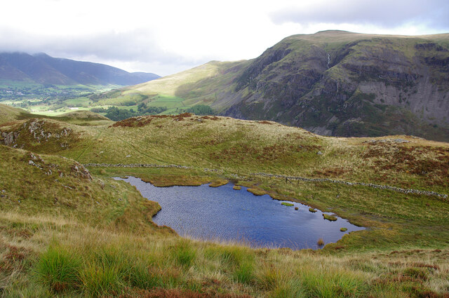
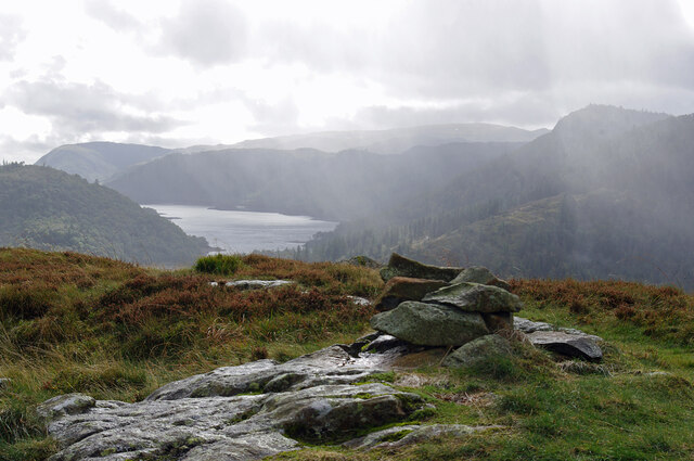
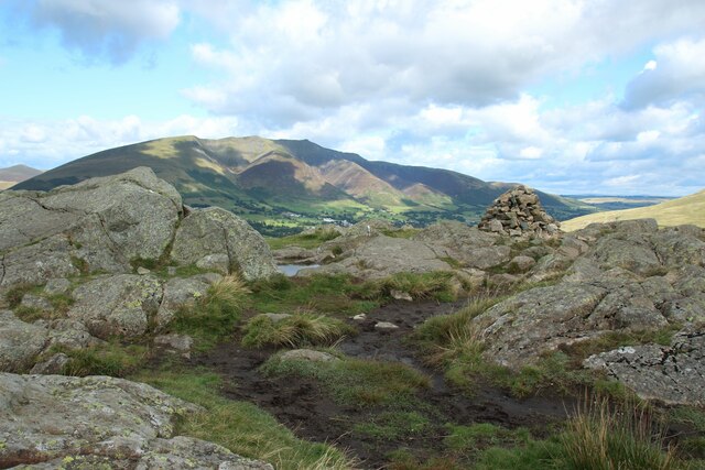
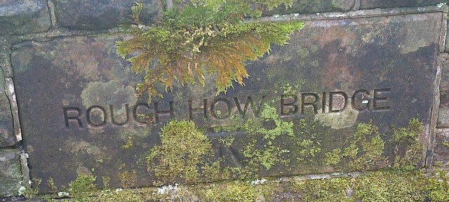
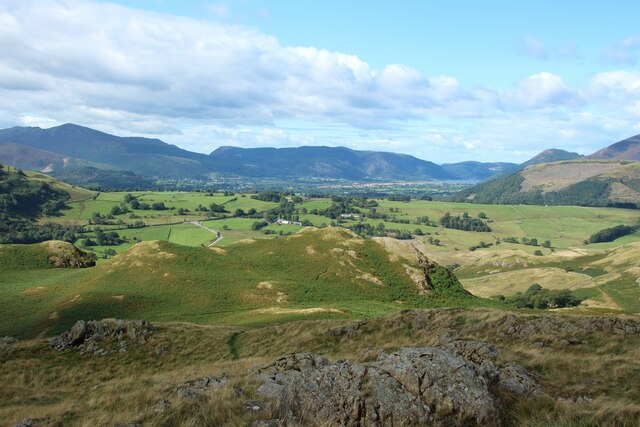
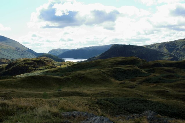
Dale Bottom Images
Images are sourced within 2km of 54.586039/-3.09088 or Grid Reference NY2921. Thanks to Geograph Open Source API. All images are credited.


Dale Bottom is located at Grid Ref: NY2921 (Lat: 54.586039, Lng: -3.09088)
Administrative County: Cumbria
District: Allerdale
Police Authority: Cumbria
What 3 Words
///situated.outfitter.grin. Near Keswick, Cumbria
Nearby Locations
Related Wikis

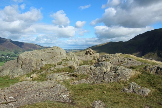
High Rigg
High Rigg is a small fell located in the English Lake District, approximately three miles southeast of the town of Keswick. It occupies an unusual position...

St John's Church, St John's in the Vale
St John's Church is in the valley of St John's in the Vale, Cumbria, England. It is an active Anglican parish church in the deanery of Derwent, the archdeaconry...
Castlerigg
Castlerigg is an area of Keswick, Cumbria, England. Castlerigg is named after a hill in the immediate area. Until the early twentieth century much of the...
Black Sands (album)
Black Sands is the fourth studio album by English producer Bonobo. It was released on 29 March 2010. == Artwork == The cover features a photograph taken...
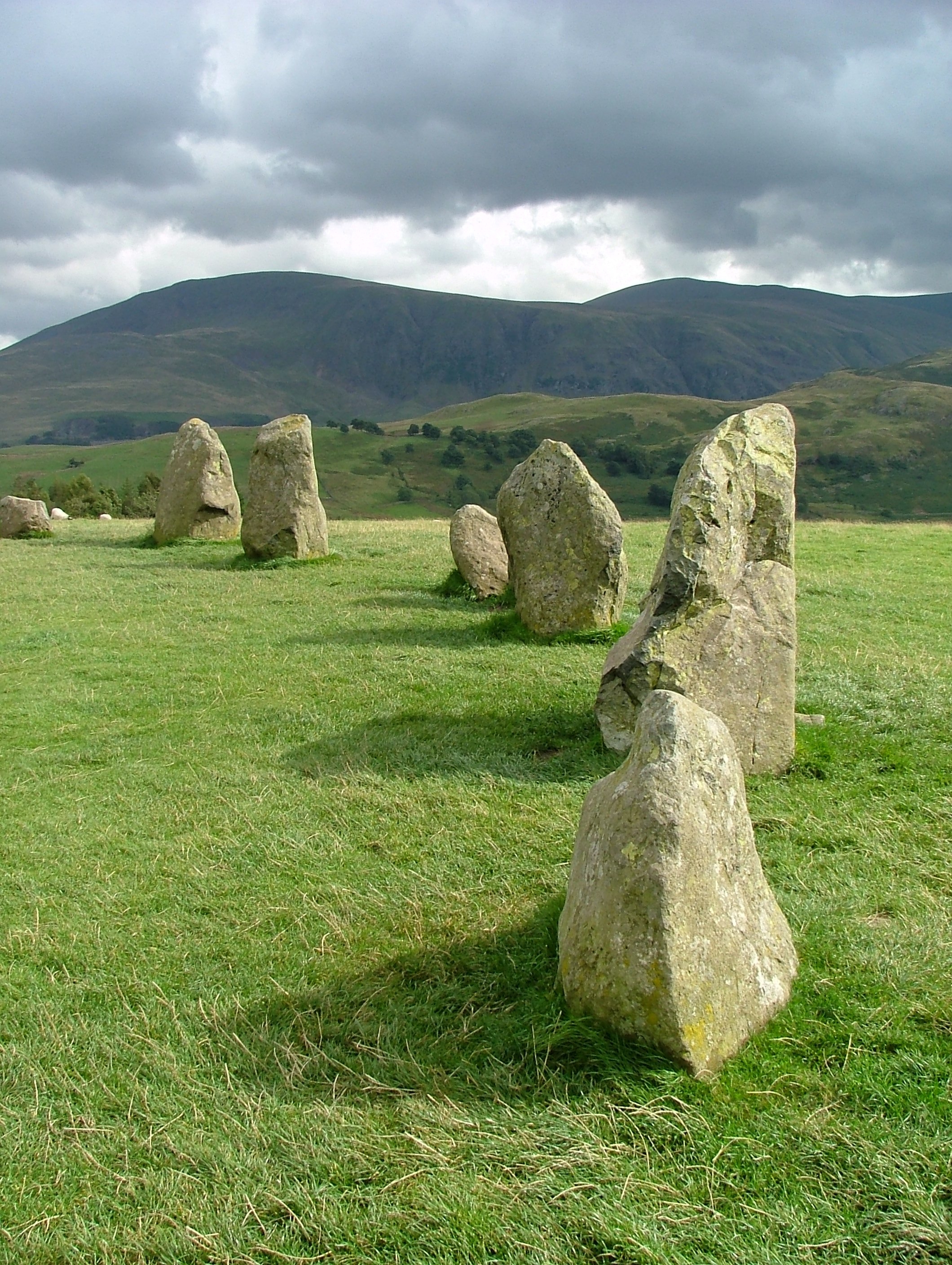
Castlerigg stone circle
Castlerigg Stone Circle (alternatively Keswick Carles, or Carles) is situated on a prominent hill to the east of Keswick, in the Lake District National...
Briery
Briery is a village in Cumbria, England.

Walla Crag
Walla Crag is a fell in the English Lake District, near Keswick. The fell is a short walk from Keswick and overlooks Derwentwater. == Topography == The...

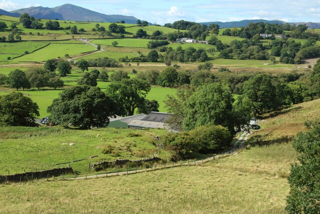
St John's in the Vale
St John’s in the Vale is a glacial valley in the Lake District National Park, Cumbria, England. Within the vale are a number of farms and small settlements...
Nearby Amenities
Located within 500m of 54.586039,-3.09088Have you been to Dale Bottom?
Leave your review of Dale Bottom below (or comments, questions and feedback).