Throng Moss Reservoir

Lake, Pool, Pond, Freshwater Marsh in Lancashire South Lakeland

England

Throng Moss Reservoir

Torver Goods Yard The old railway goods yard at Torver is now used by a local builder for storage.  The stone built goods shed contained a loading platform upon which was mounted a 1 ton hand operated crane manufactured by R. Kitchen ironfounders in Warrington.  The crane has subsequently been relocated to the rear of The Wilson’s Arms.  The goods shed was used as a hay barn after the railway closed but lost its roof in a fire and stood derelict for a number of years before being repaired, altered and re-roofed and brought back into use.
Torver Goods Yard Credit: Adrian Taylor

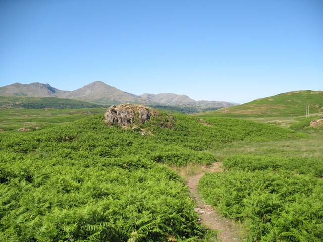
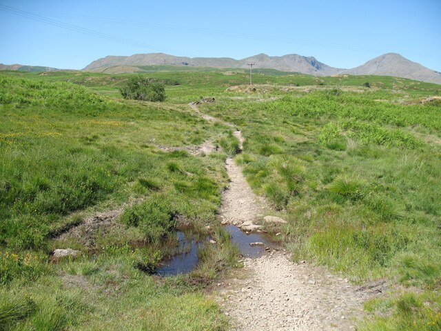
Throng Moss Reservoir is a freshwater lake located in the county of Lancashire, England. Situated in the rural area of Rossendale, the reservoir serves as an important water source for the surrounding region. It covers an area of approximately 10 hectares and is nestled within a picturesque landscape of rolling hills and lush greenery.

The reservoir is fed by several small streams and natural springs, ensuring a constant flow of fresh water. Its depth varies throughout the year, but on average, it reaches around 10 meters deep. The water is clear and cool, making it a popular spot for fishing enthusiasts.

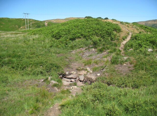
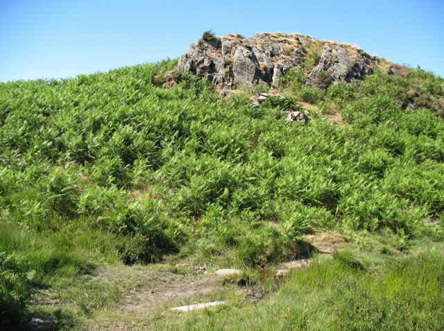
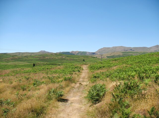
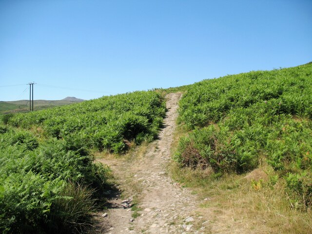
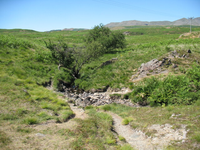
Surrounded by a mix of grassland and woodland, Throng Moss Reservoir supports a diverse range of flora and fauna. The surrounding vegetation includes reeds, rushes, and various species of aquatic plants, providing an ideal habitat for waterfowl, amphibians, and other aquatic creatures.

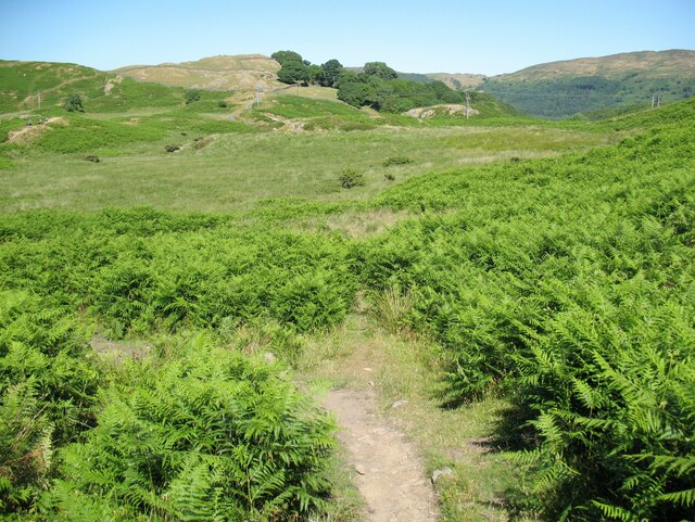
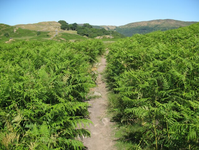
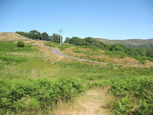
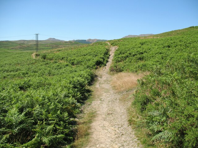
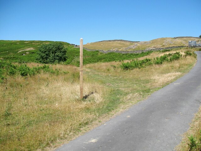
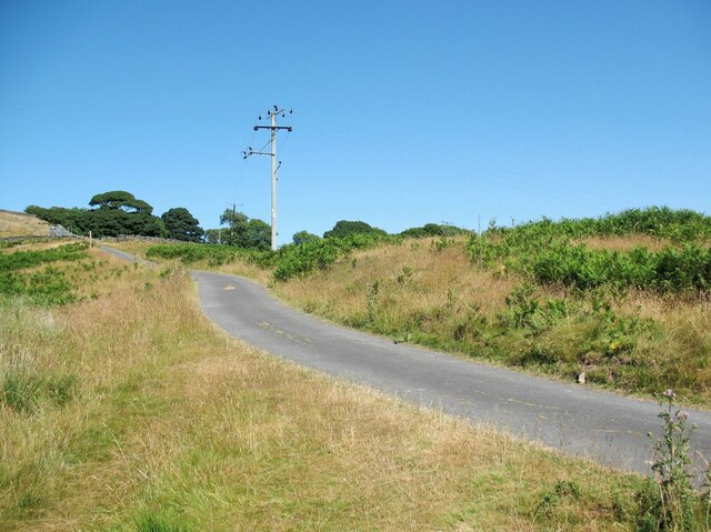
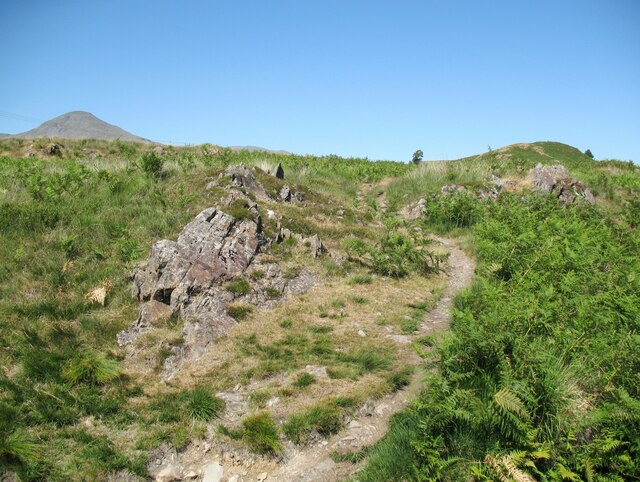
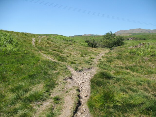
The reservoir is accessible to the public, with a designated footpath that encircles its perimeter. Visitors can enjoy a leisurely stroll while taking in the natural beauty of the area. It also offers opportunities for birdwatching and photography, as many species of birds can be spotted in and around the water.

Throng Moss Reservoir is a tranquil and serene location, offering a peaceful escape from the hustle and bustle of urban life. It is a valuable resource for the local community, providing both recreational and ecological benefits to the area.

If you have any feedback on the listing, please let us know in the comments section below.

Throng Moss Reservoir Images

Images are sourced within 2km of 54.323042/-3.1083022 or Grid Reference SD2892. Thanks to Geograph Open Source API. All images are credited.

Torver Goods Yard The old railway goods yard at Torver is now used by a local builder for storage.  The stone built goods shed contained a loading platform upon which was mounted a 1 ton hand operated crane manufactured by R. Kitchen ironfounders in Warrington.  The crane has subsequently been relocated to the rear of The Wilson’s Arms.  The goods shed was used as a hay barn after the railway closed but lost its roof in a fire and stood derelict for a number of years before being repaired, altered and re-roofed and brought back into use.
Torver Goods Yard
The old railway goods yard at Torver is now used by a local builder for storage. The stone built goods shed contained a loading platform upon which was mounted a 1 ton hand operated crane manufactured by R. Kitchen ironfounders in Warrington. The crane has subsequently been relocated to the rear of The Wilson’s Arms. The goods shed was used as a hay barn after the railway closed but lost its roof in a fire and stood derelict for a number of years before being repaired, altered and re-roofed and brought back into use.
The Cumbria Way near Stable Harvey Moss The Cumbria Way long distance footpath passes through an area of bracken on the lower slopes of Beacon Fell, turning left to follow the main path (next photograph <a href="https://www.geograph.org.uk/photo/6925753">SD2791 : The Cumbria Way near Stable Harvey Moss</a>).
The Cumbria Way near Stable Harvey Moss
The Cumbria Way long distance footpath passes through an area of bracken on the lower slopes of Beacon Fell, turning left to follow the main path (next photograph SD2791 : The Cumbria Way near Stable Harvey Moss).
The Cumbria Way near Stable Harvey Moss The Cumbria Way long distance footpath passes through an area of bracken on the lower slopes of Beacon Fell (next photograph <a href="https://www.geograph.org.uk/photo/6920535">SD2791 : The Cumbria Way near Stable Harvey Moss</a>).
The Cumbria Way near Stable Harvey Moss
The Cumbria Way long distance footpath passes through an area of bracken on the lower slopes of Beacon Fell (next photograph SD2791 : The Cumbria Way near Stable Harvey Moss).
Black Beck near Stable Harvey Moss Black Beck drains the bog of Stable Harvey Moss and the southern part of Torver Low Common and flows into Coniston Water.
The Cumbria Way long distance footpath crosses the beck by a small ford (next photograph <a href="https://www.geograph.org.uk/photo/6927171">SD2891 : The Cumbria Way near Stable Harvey</a>).
Black Beck near Stable Harvey Moss
Black Beck drains the bog of Stable Harvey Moss and the southern part of Torver Low Common and flows into Coniston Water. The Cumbria Way long distance footpath crosses the beck by a small ford (next photograph SD2891 : The Cumbria Way near Stable Harvey).
The Cumbria Way near Stable Harvey Moss The Cumbria Way, a 74 mile long distance path from Ulverston to Carlisle crosses a small boggy stream below a rocky outcrop near Stable Harvey Moss (next photograph <a href="https://www.geograph.org.uk/photo/6925738">SD2791 : Black Beck near Stable Harvey Moss</a>).
The Cumbria Way near Stable Harvey Moss
The Cumbria Way, a 74 mile long distance path from Ulverston to Carlisle crosses a small boggy stream below a rocky outcrop near Stable Harvey Moss (next photograph SD2791 : Black Beck near Stable Harvey Moss).
The Cumbria Way near Stable Harvey Moss The Cumbria Way descends the lower slopes of Beacon Fell near Stable Harvey Moss towards a rocky outcrop (next photograph <a href="https://www.geograph.org.uk/photo/6925747">SD2791 : The Cumbria Way near Stable Harvey Moss</a>).
Dow Crag, Coniston Old Man and Wetherlam are in the background.
The Cumbria Way near Stable Harvey Moss
The Cumbria Way descends the lower slopes of Beacon Fell near Stable Harvey Moss towards a rocky outcrop (next photograph SD2791 : The Cumbria Way near Stable Harvey Moss). Dow Crag, Coniston Old Man and Wetherlam are in the background.
The Cumbria Way near Stable Harvey The Cumbria Way crosses low lying undulating ground near Stable Harvey Moss as it approaches the road near Stable Harvey (next photograph <a href="https://www.geograph.org.uk/photo/6929558">SD2891 : The road to Stable Harvey</a>).
The Cumbria Way near Stable Harvey
The Cumbria Way crosses low lying undulating ground near Stable Harvey Moss as it approaches the road near Stable Harvey (next photograph SD2891 : The road to Stable Harvey).
Public bridleway near Stable Harvey Moss The bridleway runs from Stable Harvey to Mill Bridge near Torver and bears left at the path junction ahead.  It is the route of The Cumbria Way long distance footpath (next photograph <a href="https://www.geograph.org.uk/photo/6930295">SD2891 : The Cumbria Way near Stable Harvey Moss</a>).
Public bridleway near Stable Harvey Moss
The bridleway runs from Stable Harvey to Mill Bridge near Torver and bears left at the path junction ahead. It is the route of The Cumbria Way long distance footpath (next photograph SD2891 : The Cumbria Way near Stable Harvey Moss).
Ash tree near Stable Harvey Moss The path in the foreground joins a bridleway from Stable Harvey to Mill Bridge beside the tree.  Northbound walkers following The Cumbria Way long distance path continue north-west along the bridleway (next photograph <a href="https://www.geograph.org.uk/photo/6927965">SD2891 : Public bridleway near Stable Harvey Moss</a>).
The grass is dry due to a prolonged spell of fine weather.
Ash tree near Stable Harvey Moss
The path in the foreground joins a bridleway from Stable Harvey to Mill Bridge beside the tree. Northbound walkers following The Cumbria Way long distance path continue north-west along the bridleway (next photograph SD2891 : Public bridleway near Stable Harvey Moss). The grass is dry due to a prolonged spell of fine weather.
Torver Low Common near Stable Harvey The path leaves the minor road from Brown Howe to Stable Harvey.  It is signposted for The Cumbria Way long distance path which has followed the minor road northwards for approximately 60m (65 yards) and walkers following The Cumbria Way normally take this route (next photograph <a href="https://www.geograph.org.uk/photo/6927980">SD2891 : Ash tree near Stable Harvey Moss</a>).
The signpost is mis-located as the public right of way (and the official route of The Cumbria Way) leaves the road some 55m (60 yards) further to the north east towards Stable Harvey Farm.  The land here is Access Land so no trespass is incurred.
The grass is parched due to a prolonged period of dry weather.
Torver Low Common near Stable Harvey
The path leaves the minor road from Brown Howe to Stable Harvey. It is signposted for The Cumbria Way long distance path which has followed the minor road northwards for approximately 60m (65 yards) and walkers following The Cumbria Way normally take this route (next photograph SD2891 : Ash tree near Stable Harvey Moss). The signpost is mis-located as the public right of way (and the official route of The Cumbria Way) leaves the road some 55m (60 yards) further to the north east towards Stable Harvey Farm. The land here is Access Land so no trespass is incurred. The grass is parched due to a prolonged period of dry weather.
The road to Stable Harvey Stable Harvey is a farm and is the only property served by a minor road from the A5084 near Brown Howe.
The Cumbria Way long distance path joins the road on Torver Low Common near Black Beck (next photograph <a href="https://www.geograph.org.uk/photo/6928292">SD2891 : Torver Low Common near Stable Harvey</a>).
The grass is parched after a prolonged period of dry weather.
The road to Stable Harvey
Stable Harvey is a farm and is the only property served by a minor road from the A5084 near Brown Howe. The Cumbria Way long distance path joins the road on Torver Low Common near Black Beck (next photograph SD2891 : Torver Low Common near Stable Harvey). The grass is parched after a prolonged period of dry weather.
Path on Tottle Bank Crossing the open ground of Torver Low Common below Tottle Bank, this path is an alternative route for The Cumbria Way, a 74 mile long distance trail between Ulverston and Carlisle (next photograph <a href="https://www.geograph.org.uk/photo/6938645">SD2892 : Bridleway, Tottle Bank</a>).
The grass is dry after a long period of dry weather.
Path on Tottle Bank
Crossing the open ground of Torver Low Common below Tottle Bank, this path is an alternative route for The Cumbria Way, a 74 mile long distance trail between Ulverston and Carlisle (next photograph SD2892 : Bridleway, Tottle Bank). The grass is dry after a long period of dry weather.
The Cumbria Way near Stable Harvey Moss The Cumbria Way long distance path follows a public bridleway from near Stable Harvey to Mere Beck on Torver Low Common.  The bridleway makes a turn to the left near Stable Harvey Moss and a path continues straight ahead which is an alternative route for walkers following The Cumbria Way (next photograph <a href="https://www.geograph.org.uk/photo/6930288">SD2891 : Path on Tottle Bank</a>).
The Cumbria Way near Stable Harvey Moss
The Cumbria Way long distance path follows a public bridleway from near Stable Harvey to Mere Beck on Torver Low Common. The bridleway makes a turn to the left near Stable Harvey Moss and a path continues straight ahead which is an alternative route for walkers following The Cumbria Way (next photograph SD2891 : Path on Tottle Bank).
The Cumbria Way near Mere Beck The Cumbria Way long distance path climbs away from the ford across Mere Beck over some rocky ground (next photograph <a href="https://www.geograph.org.uk/photo/6938191">SD2892 : The Cumbria Way, Torver Low Common</a>).
The Cumbria Way near Mere Beck
The Cumbria Way long distance path climbs away from the ford across Mere Beck over some rocky ground (next photograph SD2892 : The Cumbria Way, Torver Low Common).
Ford across Mere Beck A public footpath crosses Mere Beck by a stony ford between Tottle Bank and Anne Riggs on Torver Low Common.  It is the route of The Cumbria Way, a long distance trail from Ulverston to Carlisle (next photograph <a href="https://www.geograph.org.uk/photo/6931224">SD2892 : The Cumbria Way near Mere Beck</a>).
Ford across Mere Beck
A public footpath crosses Mere Beck by a stony ford between Tottle Bank and Anne Riggs on Torver Low Common. It is the route of The Cumbria Way, a long distance trail from Ulverston to Carlisle (next photograph SD2892 : The Cumbria Way near Mere Beck).
The Cumbria Way near Mere Beck The Cumbria Way follows a well-defined path across Torver Low Common, diverging right approaching Mere Beck (next photograph <a href="https://www.geograph.org.uk/photo/6931244">SD2892 : Ford across Mere Beck</a>).
The Cumbria Way near Mere Beck
The Cumbria Way follows a well-defined path across Torver Low Common, diverging right approaching Mere Beck (next photograph SD2892 : Ford across Mere Beck).
Torver The road here passing in front of the cottages and The Wilson Arms was originally the A593 road until it was realigned between a point near Torver Station and Dalton Road Gates level crossing, taking advantage of the alignment of the former railway.
Torver
The road here passing in front of the cottages and The Wilson Arms was originally the A593 road until it was realigned between a point near Torver Station and Dalton Road Gates level crossing, taking advantage of the alignment of the former railway.
Ford on Torver Low Common This small ford crosses a tributary of Mere Beck on Torver Low Common.
Although not on the public bridleway, this path is a shortcut that has become an alternative route normally taken by walkers following The Cumbria Way long distance path (next photograph <a href="https://www.geograph.org.uk/photo/6931254">SD2892 : The Cumbria Way near Mere Beck</a>).  The bridleway and the official route of The Cumbria Way cross the same beck by the original ford 20m (21 yards) to the north east.
Ford on Torver Low Common
This small ford crosses a tributary of Mere Beck on Torver Low Common. Although not on the public bridleway, this path is a shortcut that has become an alternative route normally taken by walkers following The Cumbria Way long distance path (next photograph SD2892 : The Cumbria Way near Mere Beck). The bridleway and the official route of The Cumbria Way cross the same beck by the original ford 20m (21 yards) to the north east.
Show me another place!

Throng Moss Reservoir is located at Grid Ref: SD2892 (Lat: 54.323042, Lng: -3.1083022)

Administrative County: Cumbria

District: South Lakeland

Police Authority: Cumbria

What 3 Words

///aimed.judge.duet. Near Ulverston, Cumbria

Related Wikis

Kelly Hall Tarn

Kelly Hall Tarn is a pool in Cumbria, England, to the west of Coniston Water. It is located about one km south-south-east of the village of Torver, on...

Torver

Torver is a village and civil parish in the South Lakeland district of Cumbria, England, 3 miles (4.8 km) south west of the village of Coniston and 1 mile...

Peel Island, Cumbria

Peel Island (formerly known as Montague Island or the Gridiron) is one of the three islands of Coniston Water in the English Lake District, Cumbria. The...

St Luke's Church, Torver

St Luke's Church is in the village of Torver, Cumbria, England. It is an active Anglican parish church in the deanery of Furness, the archdeaconry of...

Nearby Amenities

Located within 500m of 54.323042,-3.1083022
Source: npe
Lat/Long: 54.322564/-3.1078183
Source: npe
Lat/Long: 54.3224363/-3.1089767
Source: npe
Lat/Long: 54.3225978/-3.107847
Source: npe
Lat/Long: 54.322161/-3.1096848
Source: npe
Lat/Long: 54.3219723/-3.1101462
Source: npe
Lat/Long: 54.3224364/-3.1101702
Source: npe
Lat/Long: 54.3225612/-3.1096344
Source: npe
Lat/Long: 54.3229797/-3.108687
Source: npe
Lat/Long: 54.3236423/-3.1081526
Source: npe
Lat/Long: 54.3243447/-3.1073245
Source: npe
Lat/Long: 54.324748/-3.1069374
Source: npe
Lat/Long: 54.3252958/-3.1066486
Source: npe
Lat/Long: 54.3255747/-3.1065249
Source: npe
Lat/Long: 54.3246619/-3.1061461
Source: npe
Lat/Long: 54.3243276/-3.1063093
Source: npe
Lat/Long: 54.3239288/-3.1066338
Source: npe
Lat/Long: 54.3231197/-3.107082
Ford: yes
Lat/Long: 54.3200728/-3.1073425
Ford: yes
Note: A narrow ford that is easily passable on foot
Lat/Long: 54.3220701/-3.1074565
Plain Riggs
Place: locality
Lat/Long: 54.3257418/-3.1073393
Anne Riggs
Place: locality
Lat/Long: 54.3246601/-3.1019974
Inking Knott
Place: locality
Lat/Long: 54.3254071/-3.1119486
Torver Low Common Blumery
Archaeological Site: industrial
Historic: archaeological_site
Industrial: factory
Product: iron
Lat/Long: 54.3212166/-3.1127143
Power: pole
Lat/Long: 54.3263725/-3.1046757
Power: pole
Lat/Long: 54.3254543/-3.1053355
Power: pole
Lat/Long: 54.3235928/-3.1066968
Power: pole
Lat/Long: 54.3227043/-3.107315
Power: pole
Lat/Long: 54.3217469/-3.1080177
Power: pole
Lat/Long: 54.3210492/-3.1084798
Power: pole
Lat/Long: 54.3200743/-3.1083753
Power: pole
Lat/Long: 54.3187965/-3.1082967
Bicycle: yes
Foot: yes
Ford: yes
Horse: yes
Lat/Long: 54.3207874/-3.1088818
Ford: yes
Lat/Long: 54.3202528/-3.1080119
Ford: yes
Lat/Long: 54.3199294/-3.1075426
Throng Moss
Place: locality
Lat/Long: 54.321298/-3.1136515
Gypsy Hollin
Place: locality
Lat/Long: 54.3229876/-3.1131558
Ford: yes
Lat/Long: 54.3225324/-3.1078038
Ford: yes
Lat/Long: 54.3243279/-3.1138421
Ford: yes
Lat/Long: 54.3220945/-3.1063468
Ford: yes
Lat/Long: 54.3255915/-3.1110052
Ford: yes
Lat/Long: 54.322001/-3.1115155
Ford: yes
Lat/Long: 54.3250061/-3.1116431
Power: pole
Lat/Long: 54.3200426/-3.1080659
Power: pole
Lat/Long: 54.3206921/-3.1070561
Power: pole
Lat/Long: 54.3214774/-3.1058508
Power: pole
Lat/Long: 54.3222439/-3.1046604
Power: pole
Lat/Long: 54.3228718/-3.1034526
Power: pole
Lat/Long: 54.3235127/-3.1023587
Power: pole
Lat/Long: 54.3241016/-3.1012449
The data included in this document is from www.openstreetmap.org. The data is made available under ODbL.

Have you been to Throng Moss Reservoir?

Leave your review of Throng Moss Reservoir below (or comments, questions and feedback).