Pwll Trewern
Lake, Pool, Pond, Freshwater Marsh in Montgomeryshire
Wales
Pwll Trewern
The requested URL returned error: 429 Too Many Requests
If you have any feedback on the listing, please let us know in the comments section below.
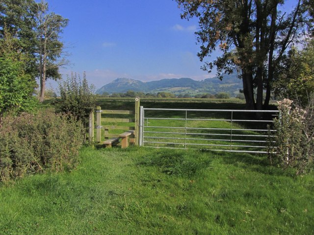
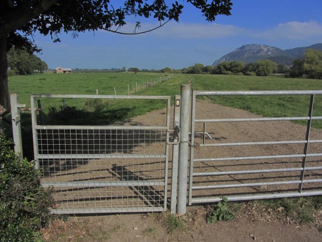
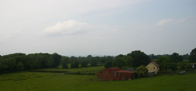
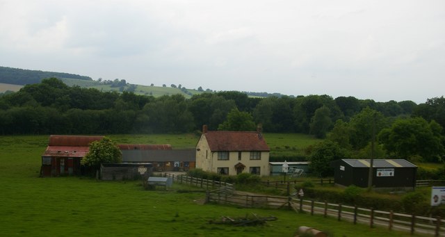
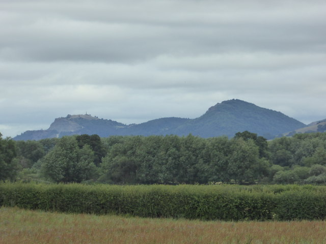
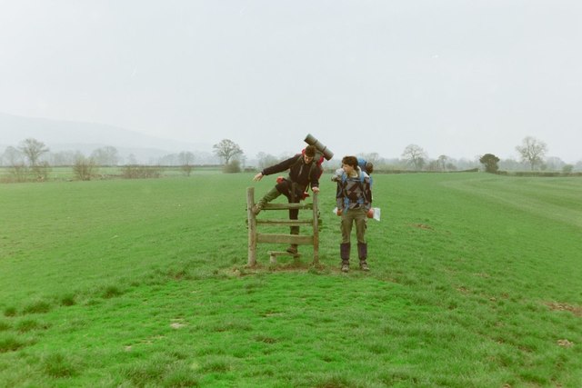
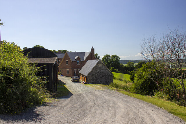
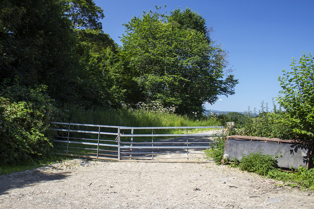
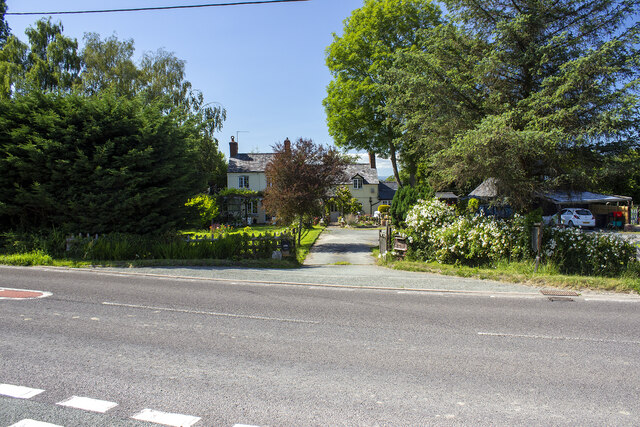
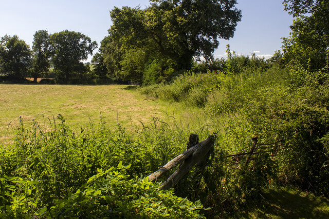
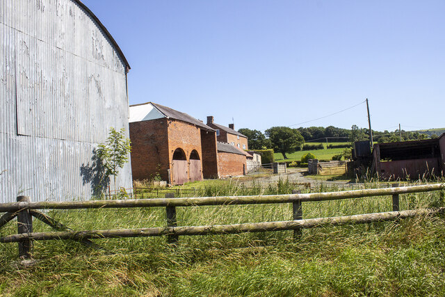
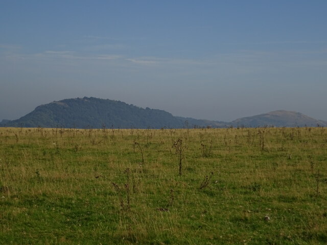
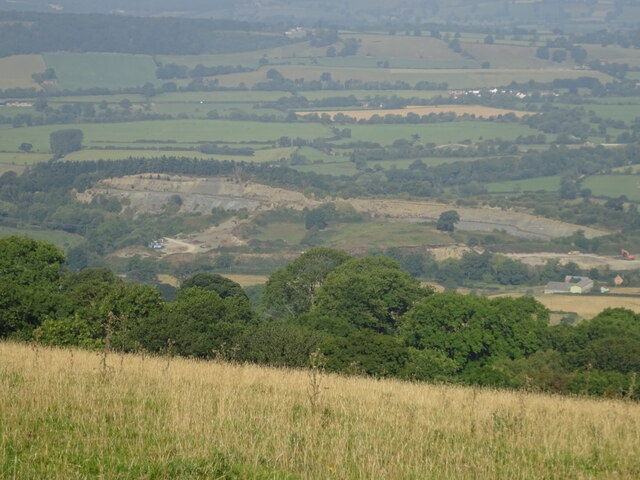
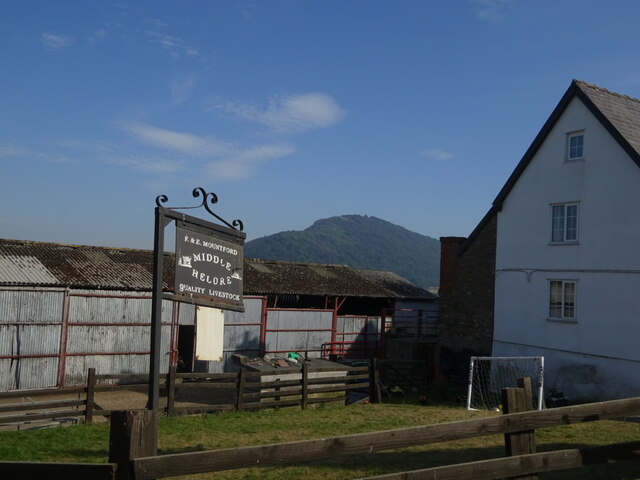
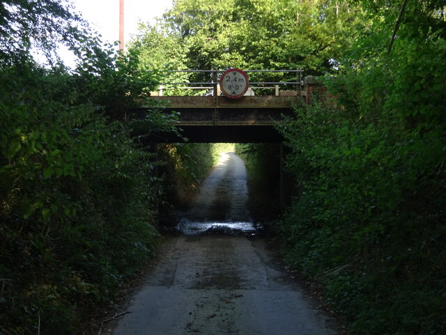
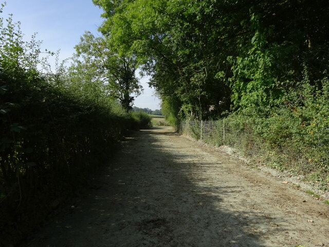
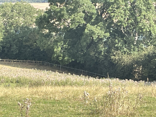
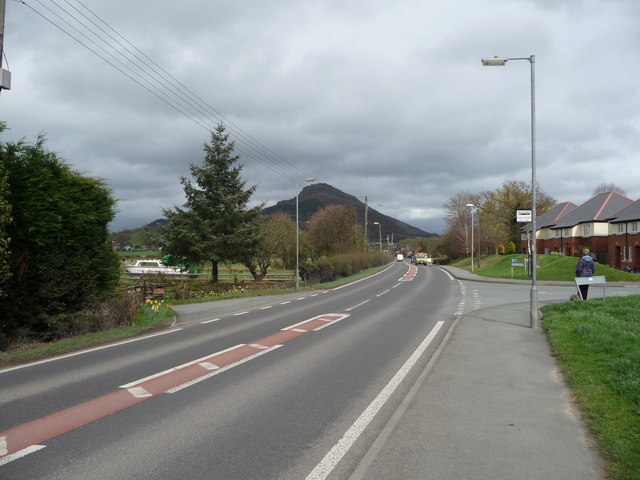
Pwll Trewern Images
Images are sourced within 2km of 52.69297/-3.0672129 or Grid Reference SJ2711. Thanks to Geograph Open Source API. All images are credited.
Pwll Trewern is located at Grid Ref: SJ2711 (Lat: 52.69297, Lng: -3.0672129)
Unitary Authority: Powys
Police Authority: Dyfed Powys
What 3 Words
///correctly.steps.embarks. Near Guilsfield, Powys
Nearby Locations
Related Wikis

Trewern
Trewern is a small village, community and electoral ward in Montgomeryshire, Powys, Wales. The community includes the villages of Buttington and Middletown...
Trewern Hall
Trewern Hall or Trewern Farmhouse is a country house in Montgomeryshire, Wales, close to the Shropshire border. It is on a spur in the floodplain of the...
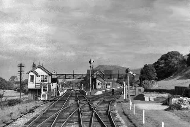
Buttington railway station
Buttington railway station was a station in Buttington, Powys, Wales. The station was opened in November 1860, several months after the line that served...
Pool Quay
Pool Quay (Welsh: Cei'r Trallwng) is a small village in Powys, Mid Wales. == Location == It is situated on the A483 road, between the towns of Welshpool...
Nearby Amenities
Located within 500m of 52.69297,-3.0672129Have you been to Pwll Trewern?
Leave your review of Pwll Trewern below (or comments, questions and feedback).