Loch of Stenness

Lake, Pool, Pond, Freshwater Marsh in Orkney

Scotland

Loch of Stenness

Barley field near Hall of Ireland It overlooks the Bay of Ireland and Hoy.
Barley field near Hall of Ireland Credit: Bill Boaden

The requested URL returned error: 429 Too Many Requests

If you have any feedback on the listing, please let us know in the comments section below.

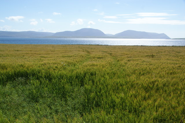
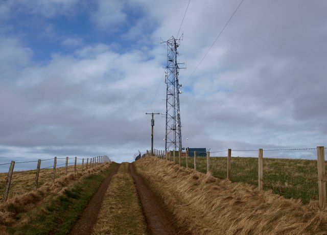
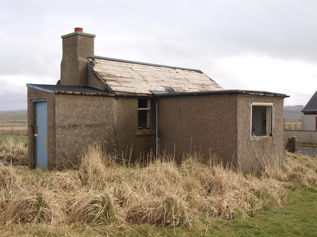
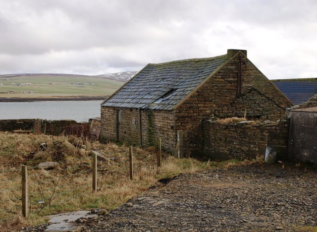
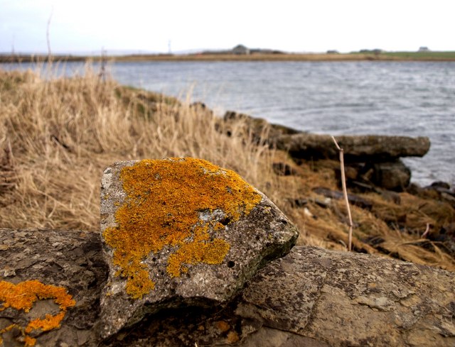
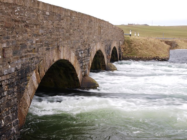
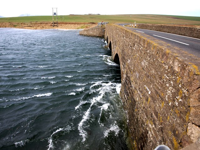
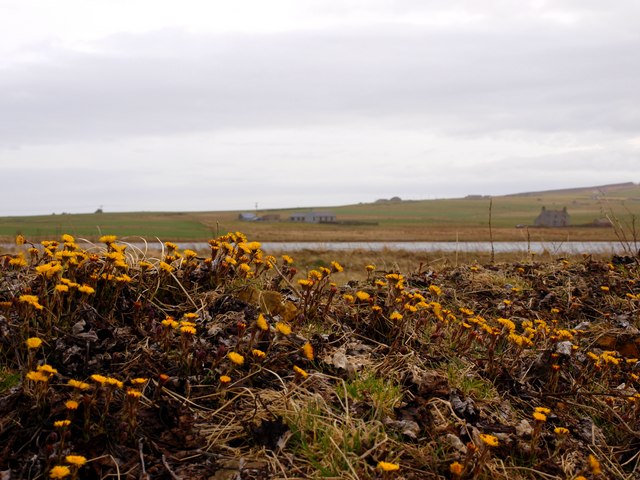
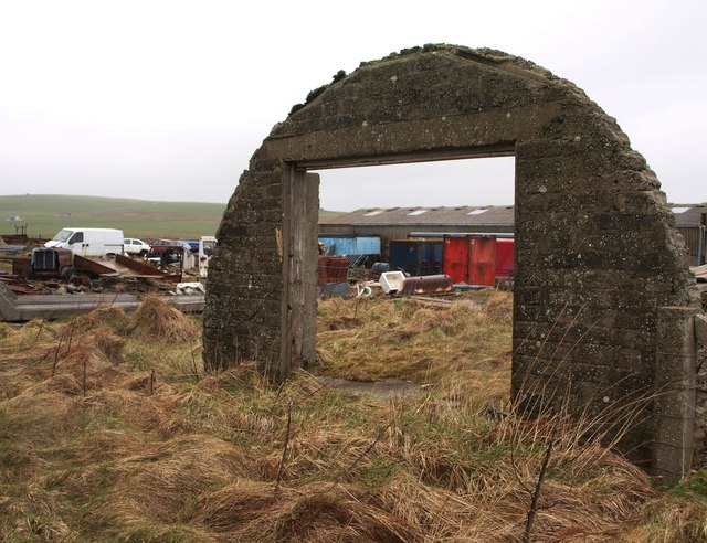
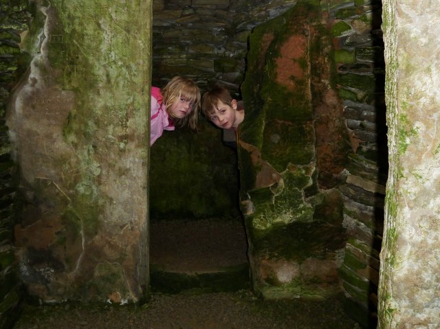
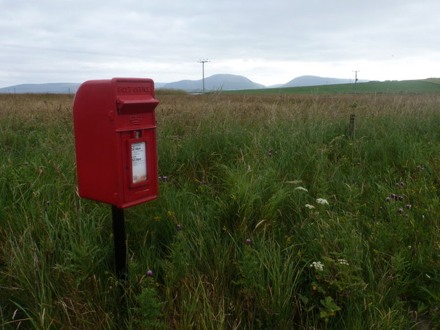
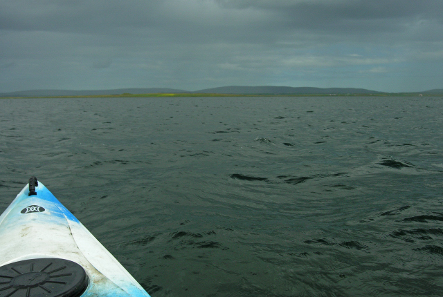
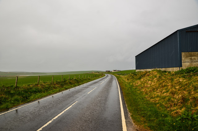
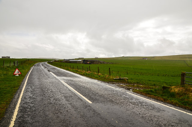
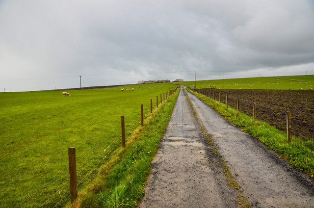
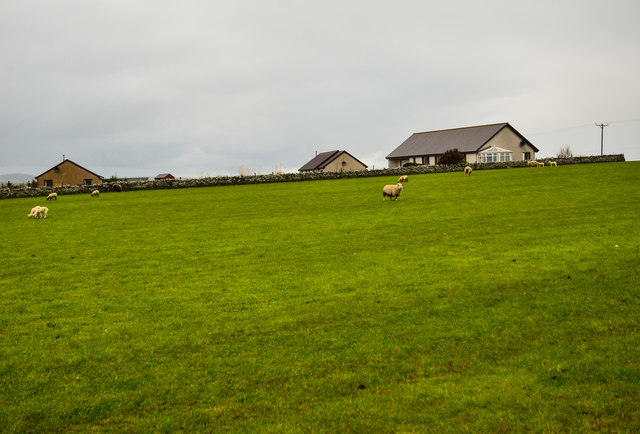
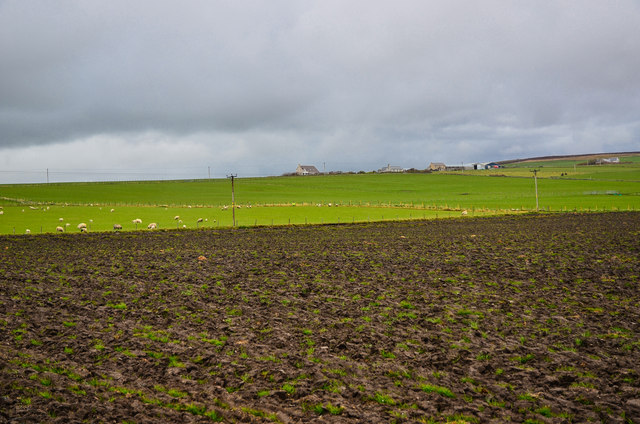
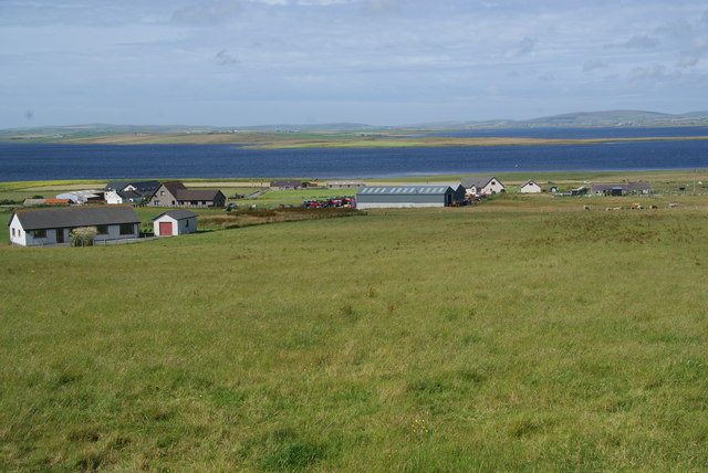
Loch of Stenness Images

Images are sourced within 2km of 58.983503/-3.2551771 or Grid Reference HY2711. Thanks to Geograph Open Source API. All images are credited.

Barley field near Hall of Ireland It overlooks the Bay of Ireland and Hoy.
Barley field near Hall of Ireland
It overlooks the Bay of Ireland and Hoy.
Communications Tower This mast is visible from the town of Stromness.
Easy parking nearby allows a short walk to a good viewpoint of the town, harbour and the Hoy Hills.
Communications Tower
This mast is visible from the town of Stromness. Easy parking nearby allows a short walk to a good viewpoint of the town, harbour and the Hoy Hills.
Roadside Cottage A very small, near-derelict dwelling, right beside Howe Road
Roadside Cottage
A very small, near-derelict dwelling, right beside Howe Road
Congesqouy Byre The sturdy byre near the house
Many such outbuildings on farms in Orkney are a rich archeological and architectural resource.
Some are kept in good condition, many are used as an excuse for the Planning Department's One for One Policy and then left to decay.
Congesqouy Byre
The sturdy byre near the house Many such outbuildings on farms in Orkney are a rich archeological and architectural resource. Some are kept in good condition, many are used as an excuse for the Planning Department's One for One Policy and then left to decay.
The Bush Shoreline A dismal view of the short 'seaway' called The Bush.
During tidal flood, water here goes through the Brig o Waithe here <a href="https://www.geograph.org.uk/photo/2317185">HY2811 : Dangerous Waters</a> and surges <a href="https://www.geograph.org.uk/photo/2317153">HY2811 : Brig o' Waithe</a> into the Loch of Stenness.
Some science here - <span class="nowrap"><a title="http://www.snh.org.uk/pdfs/publications/commissioned_reports/f01LA02_PART5.pdf" rel="nofollow ugc noopener" href="http://www.snh.org.uk/pdfs/publications/commissioned_reports/f01LA02_PART5.pdf">Link</a><img style="margin-left:2px;" alt="External link" title="External link - shift click to open in new window" src="https://s1.geograph.org.uk/img/external.png" width="10" height="10"/></span>
The house in the centre of the backdrop is close to the site of the long gone Orkney Inn, The Golden Slipper.
<span class="nowrap"><a title="http://www.orkneycommunities.co.uk/imagelibrary/picture/number3243.asp" rel="nofollow ugc noopener" href="http://www.orkneycommunities.co.uk/imagelibrary/picture/number3243.asp">Link</a><img style="margin-left:2px;" alt="External link" title="External link - shift click to open in new window" src="https://s1.geograph.org.uk/img/external.png" width="10" height="10"/></span>
The Bush Shoreline
A dismal view of the short 'seaway' called The Bush. During tidal flood, water here goes through the Brig o Waithe here HY2811 : Dangerous Waters and surges HY2811 : Brig o' Waithe into the Loch of Stenness. Some science here - LinkExternal link The house in the centre of the backdrop is close to the site of the long gone Orkney Inn, The Golden Slipper. LinkExternal link
Brig o' Waithe This shows the power of the sea pouring into Loch of Stenness.
At certain stages of tide, the seaward side of this bridge is quite dangerous.
Sea water pouring from Scapa Flow into the freshwater loch obviously raises the salinity which affects the life-cycle of plants and animals.
For those interested in Hydrolic Modelling, this  <span class="nowrap"><a title="http://www.snh.org.uk/pdfs/publications/commissioned_reports/f01LA02_PART3.pdf" rel="nofollow ugc noopener" href="http://www.snh.org.uk/pdfs/publications/commissioned_reports/f01LA02_PART3.pdf">Link</a><img style="margin-left:2px;" alt="External link" title="External link - shift click to open in new window" src="https://s1.geograph.org.uk/img/external.png" width="10" height="10"/></span>
Brig o' Waithe
This shows the power of the sea pouring into Loch of Stenness. At certain stages of tide, the seaward side of this bridge is quite dangerous. Sea water pouring from Scapa Flow into the freshwater loch obviously raises the salinity which affects the life-cycle of plants and animals. For those interested in Hydrolic Modelling, this LinkExternal link
Dangerous Waters This is the seaward side of the Bridge near the top of a flooding spring-tide.
Water is leaving Scapa Flow, through The Bush and into <a href="https://www.geograph.org.uk/photo/2317153">HY2811 : Brig o' Waithe</a> the Loch of Stenness.
This water alters the chemistry and salinity of quite a large loch.
Some science here <span class="nowrap"><a title="http://www.jncc.gov.uk/protectedsites/sacselection/sac.asp?EUcode=UK0014749" rel="nofollow ugc noopener" href="http://www.jncc.gov.uk/protectedsites/sacselection/sac.asp?EUcode=UK0014749">Link</a><img style="margin-left:2px;" alt="External link" title="External link - shift click to open in new window" src="https://s1.geograph.org.uk/img/external.png" width="10" height="10"/></span>
Dangerous Waters
This is the seaward side of the Bridge near the top of a flooding spring-tide. Water is leaving Scapa Flow, through The Bush and into HY2811 : Brig o' Waithe the Loch of Stenness. This water alters the chemistry and salinity of quite a large loch. Some science here LinkExternal link
Coltsfoot view Here, in sheltered pockets, the early flowering Coltsfoot <span class="nowrap"><a title="http://en.wikipedia.org/wiki/Tussilago_farfara" rel="nofollow ugc noopener" href="http://en.wikipedia.org/wiki/Tussilago_farfara">Link</a><img style="margin-left:2px;" alt="External link" title="External link - shift click to open in new window" src="https://s1.geograph.org.uk/img/external.png" width="10" height="10"/></span> braves the breezes and freezes.
Across the water (The Bush) can be seen a group of houses on the site made famous on the fateful day of March 16, 1940.
See here <span class="nowrap"><a title="http://www.heraldscotland.com/sport/spl/aberdeen/orkney-s-first-war-victim-1.586669" rel="nofollow ugc noopener" href="http://www.heraldscotland.com/sport/spl/aberdeen/orkney-s-first-war-victim-1.586669">Link</a><img style="margin-left:2px;" alt="External link" title="External link - shift click to open in new window" src="https://s1.geograph.org.uk/img/external.png" width="10" height="10"/></span>
Coltsfoot view
Here, in sheltered pockets, the early flowering Coltsfoot LinkExternal link braves the breezes and freezes. Across the water (The Bush) can be seen a group of houses on the site made famous on the fateful day of March 16, 1940. See here LinkExternal link
Not a pretty site And not a nice sight either.
There are quite a few places like this in Orkney. A mixture of wartime wreckage and local dumping, often made worse by small reclamation businesses being set up on site.
Such sites are often dumping grounds for unserviceable vehicles.
Not a pretty site
And not a nice sight either. There are quite a few places like this in Orkney. A mixture of wartime wreckage and local dumping, often made worse by small reclamation businesses being set up on site. Such sites are often dumping grounds for unserviceable vehicles.
Inside Unstan Chamber Both Keira and Ruaridh enjoy the quietness inside the Stalled Burial Chamber.
They are unruffled by the news that a number of 'crouched skeletons' were found inside in 1884. The partition walls are patterned by algae.
<span class="nowrap"><a title="http://www.orkneyjar.com/history/tombs/unstan/" rel="nofollow ugc noopener" href="http://www.orkneyjar.com/history/tombs/unstan/">Link</a><img style="margin-left:2px;" alt="External link" title="External link - shift click to open in new window" src="https://s1.geograph.org.uk/img/external.png" width="10" height="10"/></span>
Inside Unstan Chamber
Both Keira and Ruaridh enjoy the quietness inside the Stalled Burial Chamber. They are unruffled by the news that a number of 'crouched skeletons' were found inside in 1884. The partition walls are patterned by algae. LinkExternal link
Bridge of Waithe: postbox № KW16 12 A small, rural postbox with collection at 12:30 each weekday and Saturday lunchtime.
Bridge of Waithe: postbox № KW16 12
A small, rural postbox with collection at 12:30 each weekday and Saturday lunchtime.
View across Loch of Stenness Uninspiring view across Loch of Stenness. Loch surprisingly shallow, about 2.0 metres deep. Loch is famous for its trout fishing.
View across Loch of Stenness
Uninspiring view across Loch of Stenness. Loch surprisingly shallow, about 2.0 metres deep. Loch is famous for its trout fishing.
Barn by Quholmslie Just to the north east of the farm by the A965, and the rain on again.
Barn by Quholmslie
Just to the north east of the farm by the A965, and the rain on again.
Quholmslie Farm to the right of the A965, with road repairs ahead.
Quholmslie
Farm to the right of the A965, with road repairs ahead.
Biggings Long track to the farm off the A964.
Biggings
Long track to the farm off the A964.
Outbreks Grazing sheep by Biggings Farm.
Outbreks
Grazing sheep by Biggings Farm.
Farmland by Biggings Looking across to Villasquoy and Millquoy.
Farmland by Biggings
Looking across to Villasquoy and Millquoy.
Grassy hillside below Clouston The hill slopes down to the A965 and the Loch of Stenness.
Grassy hillside below Clouston
The hill slopes down to the A965 and the Loch of Stenness.
Show me another place!

Loch of Stenness is located at Grid Ref: HY2711 (Lat: 58.983503, Lng: -3.2551771)

Unitary Authority: Orkney Islands

Police Authority: Highlands and Islands

What 3 Words

///recapture.query.bullion. Near Stenness, Orkney Islands

Nearby Locations

Loch of Stenness

Related Wikis

Unstan Chambered Cairn

Unstan (or Onstan, or Onston) is a Neolithic chambered cairn located about 2 mi (3 km) north-east of Stromness on Mainland, Orkney, Scotland. The tomb...

Cairston

Cairston is a village on Mainland, in Orkney, Scotland. The settlement is within the parish of Stromness. == References == == External links == Canmore...

Loch of Stenness

The Loch of Stenness is a large brackish loch on Mainland, Orkney, Scotland and is named for the parish of Stenness. It is 2 miles (3.2 kilometres) northeast...

Mill of Ayreland

The Mill of Ayreland is an historic watermill driven by water force of the Burn of Ayreland, a northwesterly flowing coastal stream within Mainland Orkney...

Nearby Amenities

Located within 500m of 58.983503,-3.2551771
Bus Stop
Brig o' Waithe
Bench: yes
Bin: yes
Check Date Shelter: 2023-09-04
Shelter: yes
Lat/Long: 58.983266/-3.2482309
Bicycle Parking
Bicycle Parking: stands
Capacity: 6
Covered: no
Lat/Long: 58.9832909/-3.2481397
Post Box
Post Box Type: lamp
Ref: KW16 12
Royal Cypher: scottish_crown
Lat/Long: 58.983193/-3.2483902
Parking
Capacity: 5
Lat/Long: 58.9858665/-3.2487936
Material: wood
Power: pole
Lat/Long: 58.981658/-3.2631379
Material: wood
Power: pole
Lat/Long: 58.9812516/-3.2623547
Material: wood
Power: pole
Lat/Long: 58.9806877/-3.2612336
Material: wood
Power: pole
Lat/Long: 58.9801514/-3.26015
Power: pole
Lat/Long: 58.9796331/-3.2591039
Power: pole
Lat/Long: 58.9794133/-3.2586747
Power: pole
Lat/Long: 58.9792308/-3.2549867
Power: pole
Lat/Long: 58.9794243/-3.2536912
Power: pole
Lat/Long: 58.9796165/-3.2524279
Power: pole
Lat/Long: 58.9798722/-3.2581759
Power: pole
Lat/Long: 58.9802979/-3.2570171
Power: pole
Lat/Long: 58.9807347/-3.2558477
Power: pole
Lat/Long: 58.9811908/-3.2546568
Power: pole
Lat/Long: 58.9816691/-3.2535249
Power: pole
Lat/Long: 58.9820588/-3.2523608
Material: wood
Power: pole
Lat/Long: 58.9828232/-3.2469267
Power: pole
Lat/Long: 58.9826891/-3.2481712
Power: pole
Lat/Long: 58.9826172/-3.2489786
Power: pole
Lat/Long: 58.9825301/-3.2498986
Power: pole
Lat/Long: 58.9851755/-3.2483161
Power: pole
Lat/Long: 58.9847747/-3.2478869
Power: pole
Lat/Long: 58.9842232/-3.2473102
Power: pole
Lat/Long: 58.9837146/-3.2475838
The Bush
Place: locality
Lat/Long: 58.9807562/-3.249426
The data included in this document is from www.openstreetmap.org. The data is made available under ODbL.

Have you been to Loch of Stenness?

Leave your review of Loch of Stenness below (or comments, questions and feedback).