Blea Tarn

Lake, Pool, Pond, Freshwater Marsh in Cumberland Copeland

England

Blea Tarn

A fine bridge over the River Esk
A fine bridge over the River Esk Credit: David Medcalf

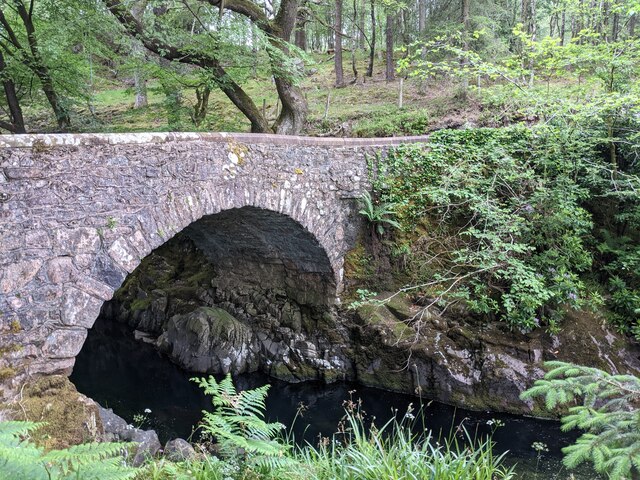
Blea Tarn, located in the picturesque county of Cumberland in northwest England, is a stunning freshwater lake nestled amidst the captivating landscape of the Lake District National Park. Known for its natural beauty and tranquility, Blea Tarn is a popular destination for nature enthusiasts, hikers, and photographers.

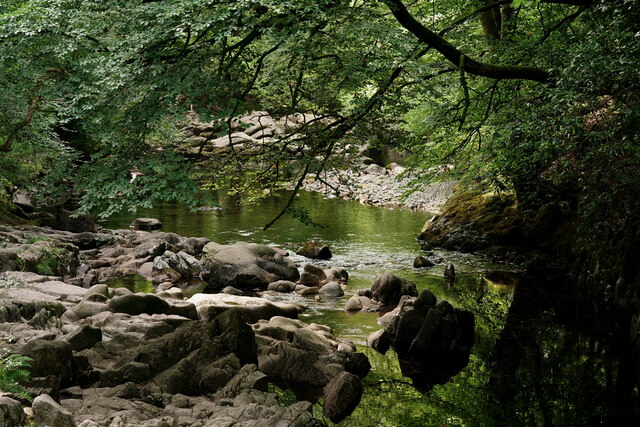
This enchanting tarn, also referred to as a pool or pond, covers an area of approximately 20 acres and is surrounded by rolling hills and verdant meadows. Its crystal-clear waters reflect the surrounding fells, creating a mesmerizing sight that changes with the seasons. The tarn is fed by natural springs and small streams, ensuring its water remains pristine and refreshing.

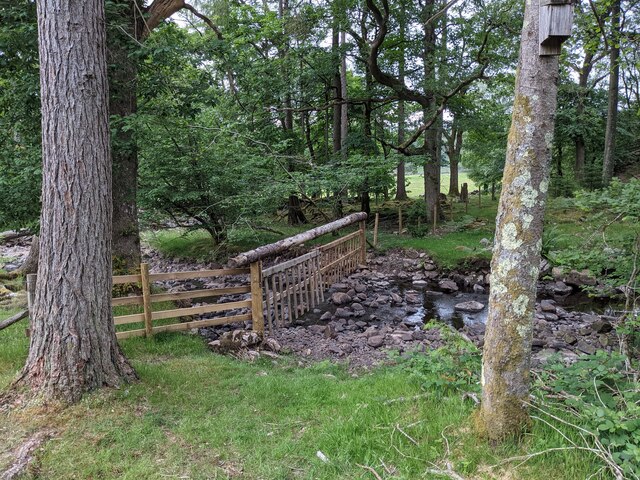
Surrounded by a diverse range of vegetation, Blea Tarn is also home to a rich array of plant and animal species. The marshy areas surrounding the tarn support a thriving ecosystem of freshwater plants, including reeds, rushes, and water lilies. These provide an important habitat for numerous bird species such as ducks, swans, and herons, attracting birdwatchers from far and wide.

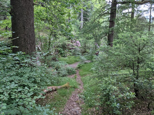
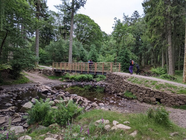
Visitors to Blea Tarn can enjoy a variety of activities, including leisurely walks along the tranquil shoreline, picnicking amidst the stunning scenery, or simply sitting back and immersing themselves in the peaceful ambiance. The tarn is also a popular spot for photographers, who are drawn to its dramatic vistas and ethereal reflections.

Blea Tarn truly exemplifies the natural splendor of the Lake District, offering a serene haven for those seeking respite from the hustle and bustle of everyday life. Its idyllic setting and abundant wildlife make it a must-visit destination for anyone exploring the region.

If you have any feedback on the listing, please let us know in the comments section below.
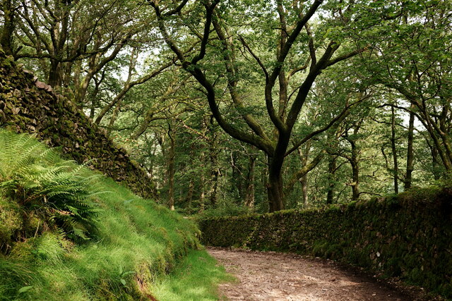
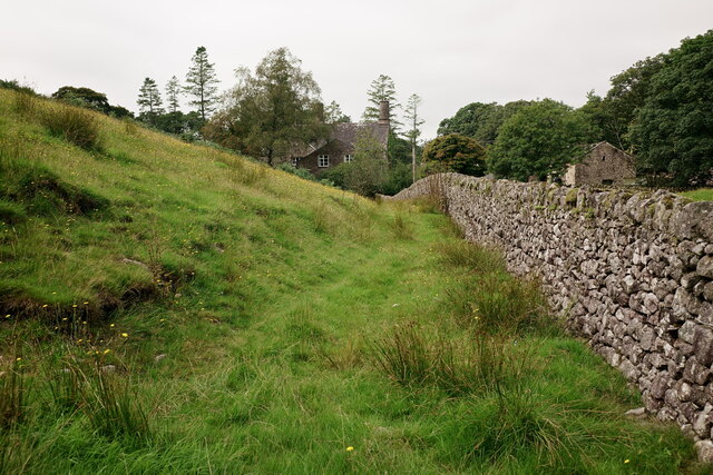
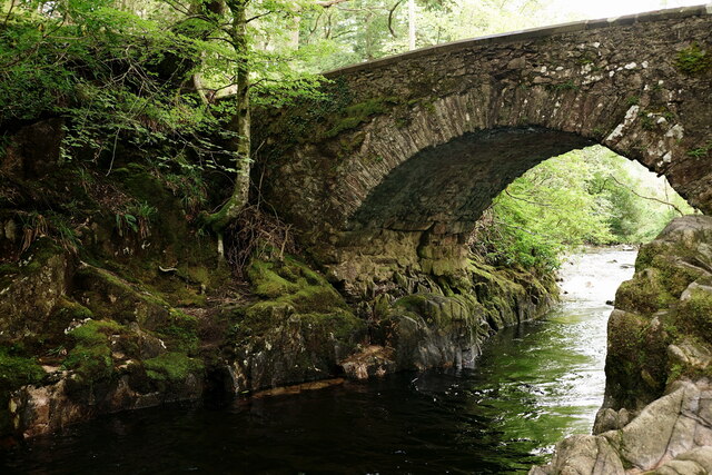
Blea Tarn Images

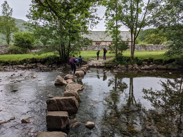
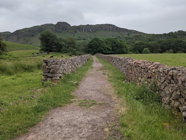
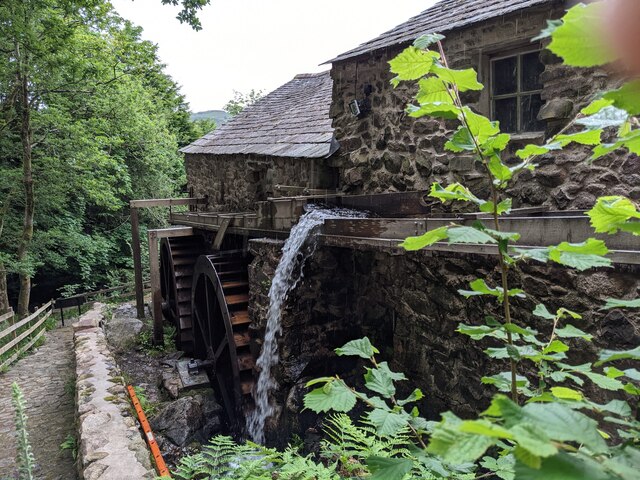
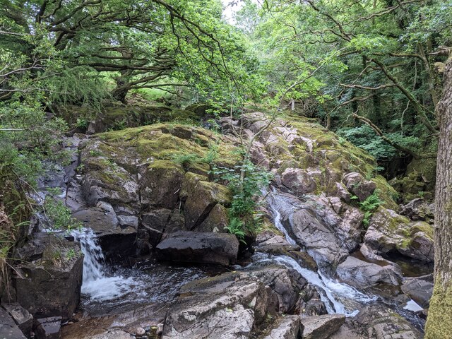
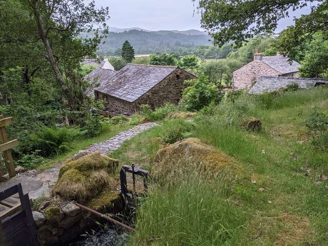
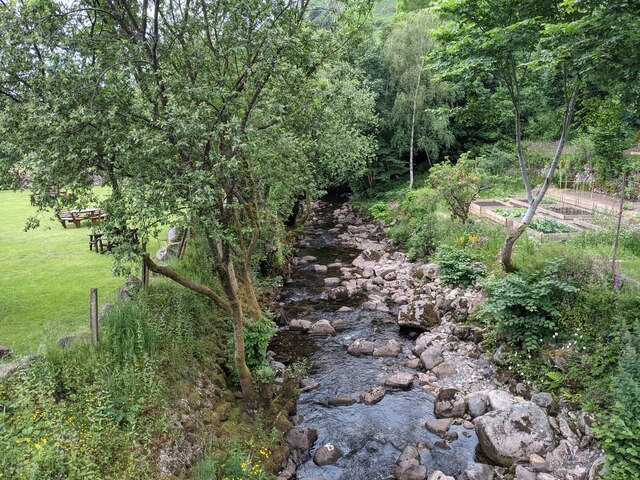
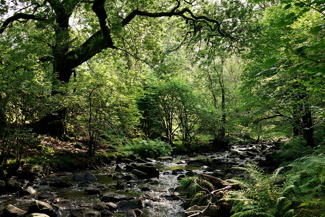
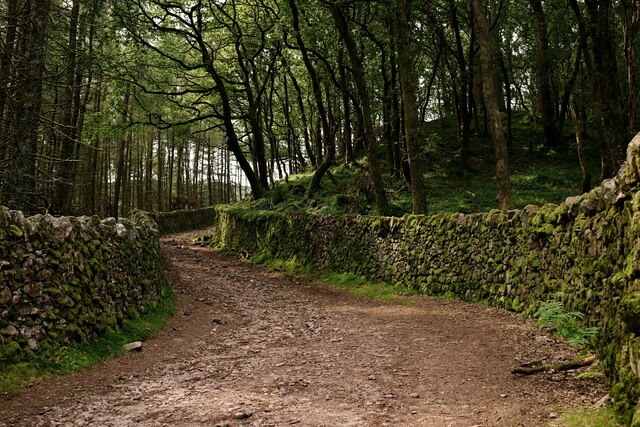
Images are sourced within 2km of 54.397929/-3.2866602 or Grid Reference NY1601. Thanks to Geograph Open Source API. All images are credited.

A fine bridge over the River Esk
A path through the woods near Dalegarth
A new bridge over Birker Beck I think the previous bridge (see: <a title="https://www.geograph.org.uk/photo/4455179)" href="https://www.geograph.org.uk/photo/4455179)">Link</a> was probably damaged by floods.
Curiously the beck, referred to in some other geographs as Stanley Ghyll Beck, is named on the OS 1:50k map, but not on the 1:25k map.
A new bridge over Birker Beck
I think the previous bridge (see: Link was probably damaged by floods. Curiously the beck, referred to in some other geographs as Stanley Ghyll Beck, is named on the OS 1:50k map, but not on the 1:25k map.
A hanging fence across Birker Beck To discourage sheep from using the stream bed as an escape to greener pastures.
A hanging fence across Birker Beck
To discourage sheep from using the stream bed as an escape to greener pastures.
The stepping stones - a fun way to cross the Esk
The bridleway to the footbridge across the Esk
Wildflowers and trees Near Esk View Farm.
Wildflowers and trees
Near Esk View Farm.
Diverted power source The water wheels at Eskdale Mill are not in use today, so the water is spilled back into the stream.
Diverted power source
The water wheels at Eskdale Mill are not in use today, so the water is spilled back into the stream.
Water-smoothed rocks in Whillan Beck
Top of the power supply The water is extracted here to drive the water wheels at Eskdale Mill, whose rooftops are visible.
Top of the power supply
The water is extracted here to drive the water wheels at Eskdale Mill, whose rooftops are visible.
Whillan Beck from the mill bridge
Stanley Ghyll Beck Seen from the start of the climb up to the waterfall.
Stanley Ghyll Beck
Seen from the start of the climb up to the waterfall.
Eskdale Track up to the new Stanley Force viewing platform. Most walkers take the path in the ravine to reach the viewing platform, returning via this track.
Eskdale
Track up to the new Stanley Force viewing platform. Most walkers take the path in the ravine to reach the viewing platform, returning via this track.
Eskdale Track down to the road, from the new Stanley Force viewing platform.
Eskdale
Track down to the road, from the new Stanley Force viewing platform.
Eskdale View towards Dalegarth Hall, from the track.
Eskdale
View towards Dalegarth Hall, from the track.
Eskdale Trough House bridge and the River Esk.
Eskdale
Trough House bridge and the River Esk.
Eskdale River Esk from Trough House Bridge.
Eskdale
River Esk from Trough House Bridge.
'River Mite' Passing through Beckfoot station, with a train for Ravenglass.
'River Mite'
Passing through Beckfoot station, with a train for Ravenglass.
Show me another place!

Blea Tarn is located at Grid Ref: NY1601 (Lat: 54.397929, Lng: -3.2866602)

Administrative County: Cumbria

District: Copeland

Police Authority: Cumbria

What 3 Words

///shared.denote.movements. Near Seascale, Cumbria

Related Wikis

Blea Tarn (Eskdale)

Blea Tarn is a lake in Cumbria, England, located about half a mile north of Beckfoot. Located at an elevation of 217 m (712 ft), the lake has an area...

Beckfoot railway station

Beckfoot railway station is a railway station on the 15" gauge Ravenglass & Eskdale Railway in Cumbria. It is situated within a 1⁄2 mile (0.80 km) walk...

Dalegarth railway station

Dalegarth railway station is the easterly terminus of the 15-inch gauge Ravenglass and Eskdale Railway in Cumbria, England. It has a café and shop for...

Boot, Cumbria

Boot is a small village in Eskdale, Cumbria, in the Lake District of England. It forms part of the Borough of Copeland. There are two roads from which...

Nearby Amenities

Located within 500m of 54.397929,-3.2866602
Man Made: cairn
Lat/Long: 54.3995863/-3.2832775
Blea Tarn Hill
Ele: 284
Natural: peak
Lat/Long: 54.4022323/-3.2844255
Bull Crag
Place: locality
Lat/Long: 54.3994124/-3.2794865
Hollinghead Bank
Place: locality
Lat/Long: 54.396302/-3.284808
Peat Huts
Historic: yes
Lat/Long: 54.3958138/-3.2871706
Peat Huts
Historic: yes
Lat/Long: 54.3952127/-3.2856796
The data included in this document is from www.openstreetmap.org. The data is made available under ODbL.

Have you been to Blea Tarn?

Leave your review of Blea Tarn below (or comments, questions and feedback).