Bleatarn Hill

Hill, Mountain in Cumberland Copeland

England

Bleatarn Hill

A fine bridge over the River Esk
A fine bridge over the River Esk Credit: David Medcalf

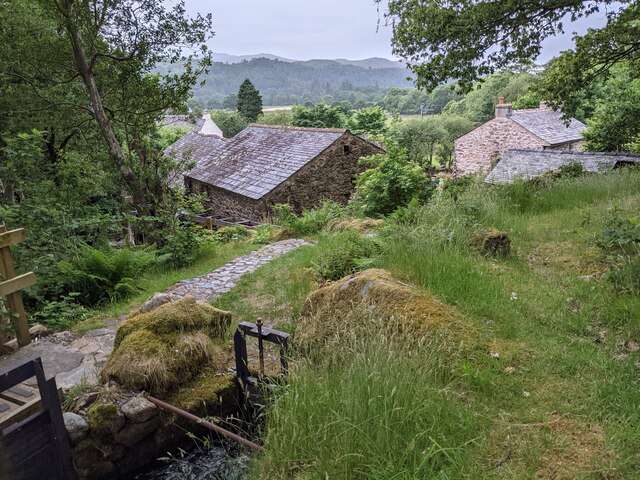
Bleatarn Hill is a prominent geographical feature located in the county of Cumberland, in the northwestern region of England. Situated within the picturesque Lake District National Park, it forms part of the rolling landscape that characterizes this area.

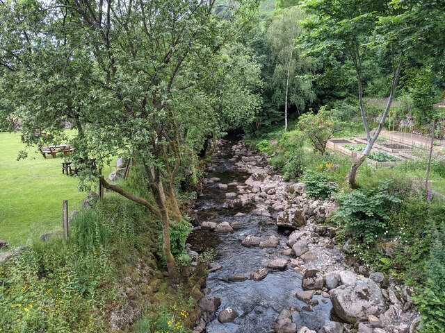
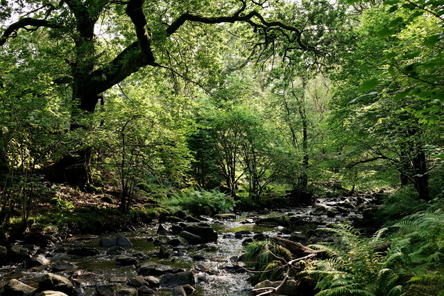
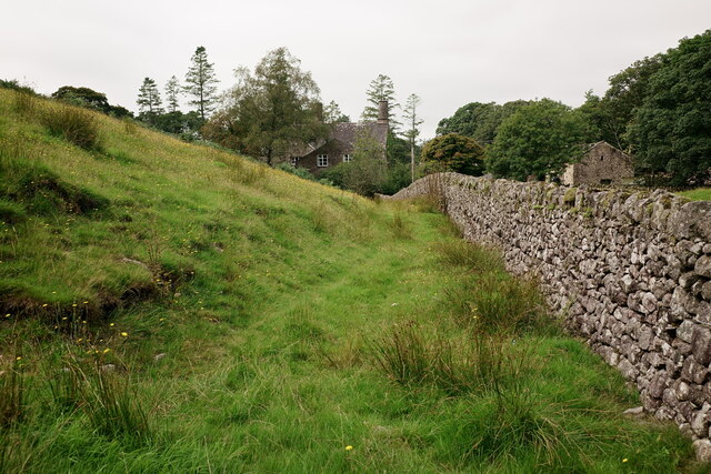
Rising to an elevation of approximately 412 meters (1,352 feet), Bleatarn Hill is classified as a hill rather than a mountain. Despite its relatively modest height, it offers breathtaking panoramic views of the surrounding countryside, including the nearby Ennerdale Water and Loweswater lakes. The hill is surrounded by lush green valleys, dense woodlands, and scattered farms, adding to its scenic appeal.

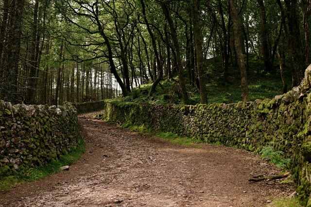
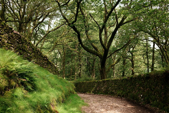
The terrain of Bleatarn Hill is primarily composed of grassy slopes, interspersed with rocks and boulders. The hill is accessible through various footpaths and trails, making it a popular destination for hikers and outdoor enthusiasts. The ascent to the summit is moderate, providing a pleasant challenge for walkers of all abilities.

Wildlife thrives in the area surrounding Bleatarn Hill, with numerous species of birds, mammals, and plants calling it home. Visitors may encounter red deer, foxes, and rabbits, as well as a variety of bird species such as buzzards and skylarks.

Bleatarn Hill offers a tranquil and serene setting for those seeking to escape the hustle and bustle of everyday life. Its natural beauty, coupled with its accessibility and stunning views, make it an ideal location for outdoor activities, relaxation, and photography.

If you have any feedback on the listing, please let us know in the comments section below.

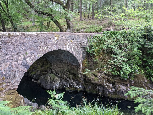
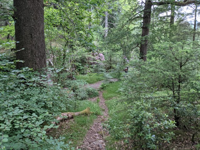
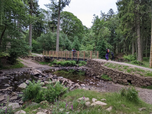
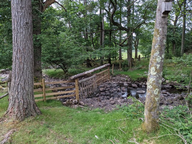
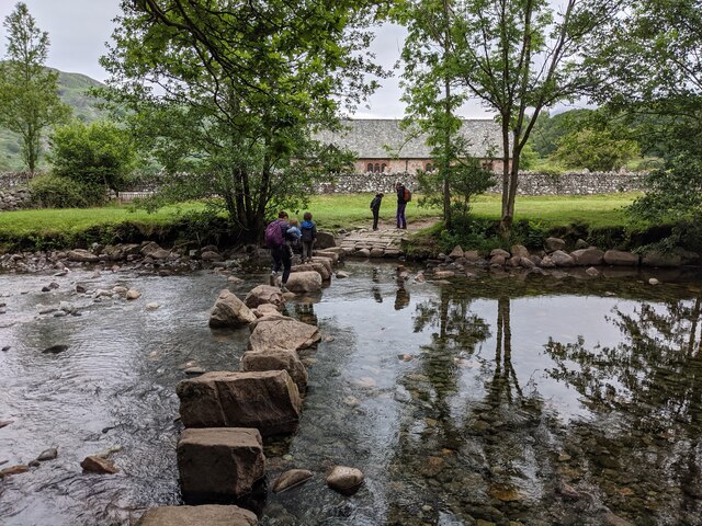
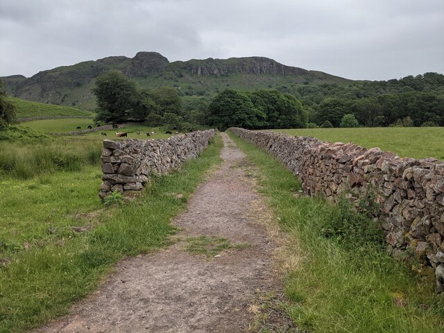
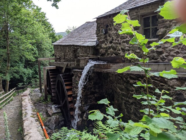
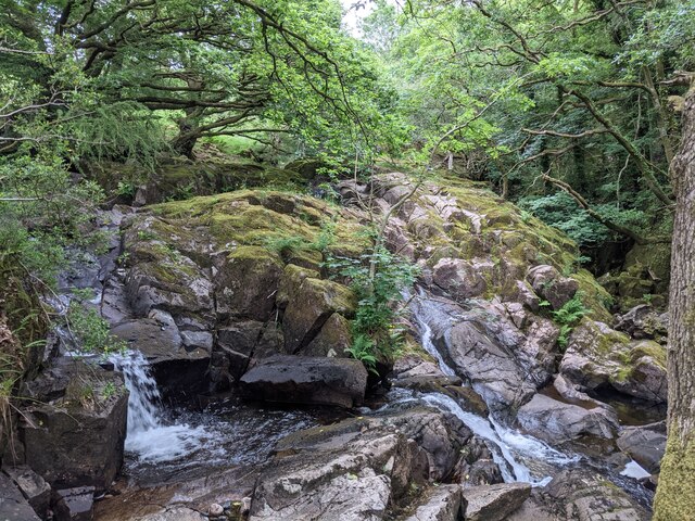
Bleatarn Hill Images

Images are sourced within 2km of 54.402104/-3.284511 or Grid Reference NY1601. Thanks to Geograph Open Source API. All images are credited.

A fine bridge over the River Esk
A path through the woods near Dalegarth
A new bridge over Birker Beck I think the previous bridge (see: <a title="https://www.geograph.org.uk/photo/4455179)" href="https://www.geograph.org.uk/photo/4455179)">Link</a> was probably damaged by floods.
Curiously the beck, referred to in some other geographs as Stanley Ghyll Beck, is named on the OS 1:50k map, but not on the 1:25k map.
A new bridge over Birker Beck
I think the previous bridge (see: Link was probably damaged by floods. Curiously the beck, referred to in some other geographs as Stanley Ghyll Beck, is named on the OS 1:50k map, but not on the 1:25k map.
A hanging fence across Birker Beck To discourage sheep from using the stream bed as an escape to greener pastures.
A hanging fence across Birker Beck
To discourage sheep from using the stream bed as an escape to greener pastures.
The stepping stones - a fun way to cross the Esk
The bridleway to the footbridge across the Esk
Wildflowers and trees Near Esk View Farm.
Wildflowers and trees
Near Esk View Farm.
Diverted power source The water wheels at Eskdale Mill are not in use today, so the water is spilled back into the stream.
Diverted power source
The water wheels at Eskdale Mill are not in use today, so the water is spilled back into the stream.
Water-smoothed rocks in Whillan Beck
Top of the power supply The water is extracted here to drive the water wheels at Eskdale Mill, whose rooftops are visible.
Top of the power supply
The water is extracted here to drive the water wheels at Eskdale Mill, whose rooftops are visible.
Whillan Beck from the mill bridge
Stanley Ghyll Beck Seen from the start of the climb up to the waterfall.
Stanley Ghyll Beck
Seen from the start of the climb up to the waterfall.
Eskdale Track up to the new Stanley Force viewing platform. Most walkers take the path in the ravine to reach the viewing platform, returning via this track.
Eskdale
Track up to the new Stanley Force viewing platform. Most walkers take the path in the ravine to reach the viewing platform, returning via this track.
Eskdale Track down to the road, from the new Stanley Force viewing platform.
Eskdale
Track down to the road, from the new Stanley Force viewing platform.
Eskdale View towards Dalegarth Hall, from the track.
Eskdale
View towards Dalegarth Hall, from the track.
Eskdale Trough House bridge and the River Esk.
Eskdale
Trough House bridge and the River Esk.
Eskdale River Esk from Trough House Bridge.
Eskdale
River Esk from Trough House Bridge.
'River Mite' Passing through Beckfoot station, with a train for Ravenglass.
'River Mite'
Passing through Beckfoot station, with a train for Ravenglass.
Show me another place!

Bleatarn Hill is located at Grid Ref: NY1601 (Lat: 54.402104, Lng: -3.284511)

Administrative County: Cumbria

District: Copeland

Police Authority: Cumbria

What 3 Words

///labs.steady.charities. Near Seascale, Cumbria

Related Wikis

Blea Tarn (Eskdale)

Blea Tarn is a lake in Cumbria, England, located about half a mile north of Beckfoot. Located at an elevation of 217 m (712 ft), the lake has an area...

Dalegarth railway station

Dalegarth railway station is the easterly terminus of the 15-inch gauge Ravenglass and Eskdale Railway in Cumbria, England. It has a café and shop for...

Beckfoot railway station

Beckfoot railway station is a railway station on the 15" gauge Ravenglass & Eskdale Railway in Cumbria. It is situated within a 1⁄2 mile (0.80 km) walk...

Burnmoor stone circles

The Burnmoor Stone Circles are a group of five different approximately 4000-year-old stone circles in Cumbria. They are around 1 mile north of the village...

Nearby Amenities

Located within 500m of 54.402104,-3.284511
Man Made: cairn
Lat/Long: 54.3995863/-3.2832775
Miterdale Head Moss
Place: locality
Lat/Long: 54.4042402/-3.2842727
Blea Tarn Hill
Ele: 284
Natural: peak
Lat/Long: 54.4022323/-3.2844255
Bull Crag
Place: locality
Lat/Long: 54.3994124/-3.2794865
Ford: yes
Lat/Long: 54.4016231/-3.2799453
The data included in this document is from www.openstreetmap.org. The data is made available under ODbL.

Have you been to Bleatarn Hill?

Leave your review of Bleatarn Hill below (or comments, questions and feedback).