Bleaberry Tarn
Lake, Pool, Pond, Freshwater Marsh in Cumberland Allerdale
England
Bleaberry Tarn

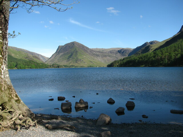
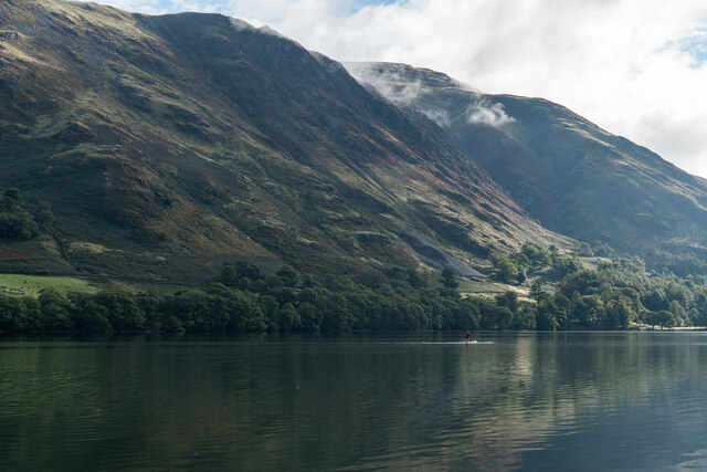
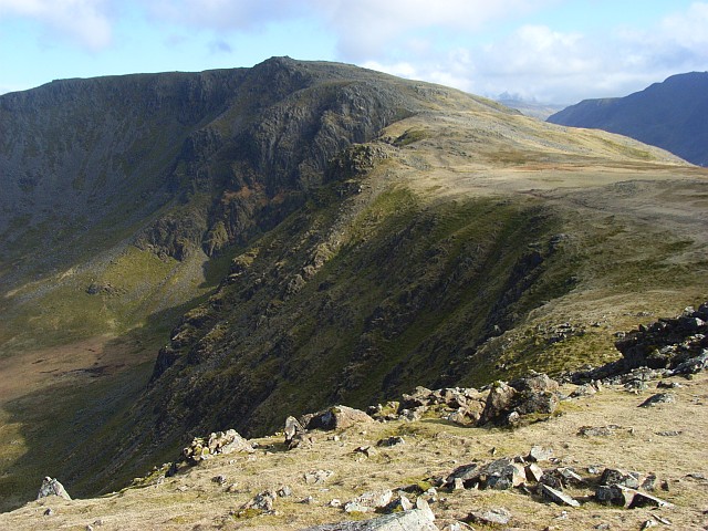
Bleaberry Tarn is a picturesque freshwater lake nestled amidst the scenic beauty of the Cumberland region in northwest England. It is a small body of water that can be classified as a tarn, which is a term used to describe a mountain lake formed in a cirque basin. This natural gem is located at an elevation of approximately 1,000 feet, surrounded by rolling hills, lush meadows, and dense forests, providing a tranquil and serene setting.
The tarn itself covers an area of about 5 acres, with a maximum depth of around 10 feet. Its crystal-clear waters are fed by natural springs and rainfall, ensuring a consistent supply of freshwater throughout the year. The lake is known for its calm and still surface, making it an ideal spot for various water activities such as fishing, boating, and even wild swimming for those seeking a refreshing dip.
Surrounding Bleaberry Tarn is a diverse ecosystem that supports a wide range of flora and fauna. The area is rich in aquatic plants, including water lilies, reeds, and rushes, which provide habitat and food for a variety of wildlife. Visitors may spot various bird species such as ducks, swans, and herons, as well as small mammals like otters and voles.
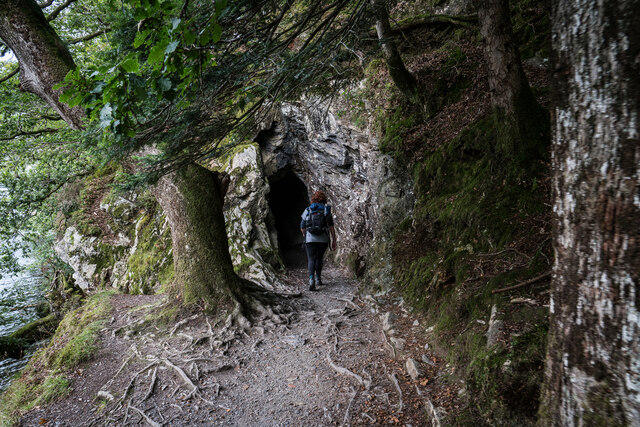
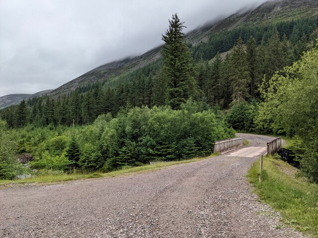
The tarn is accessed via a well-maintained footpath, offering visitors the opportunity to enjoy leisurely walks while taking in the breathtaking scenery. The peaceful ambiance and untouched beauty of Bleaberry Tarn make it a popular destination for nature enthusiasts, photographers, and those seeking a tranquil escape from the bustling city life.
If you have any feedback on the listing, please let us know in the comments section below.
Bleaberry Tarn Images
Images are sourced within 2km of 54.527341/-3.2901713 or Grid Reference NY1615. Thanks to Geograph Open Source API. All images are credited.


Bleaberry Tarn is located at Grid Ref: NY1615 (Lat: 54.527341, Lng: -3.2901713)
Administrative County: Cumbria
District: Allerdale
Police Authority: Cumbria
What 3 Words
///only.enrolling.unzips. Near Keswick, Cumbria
Nearby Locations
Related Wikis

Bleaberry Tarn
Bleaberry Tarn is a small natural mountain tarn near Buttermere in the English Lake District. Located at NY165154 (OS Landranger 89), it lies in a corrie...
Red Pike (Buttermere)
Red Pike is a fell in the High Stile range in the western English Lake District, which separates Ennerdale from the valley of Buttermere and Crummock Water...
High Stile
High Stile is a mountain in the western part of the Lake District in North West England. It is the eleventh-highest English Marilyn, standing 807 metres...
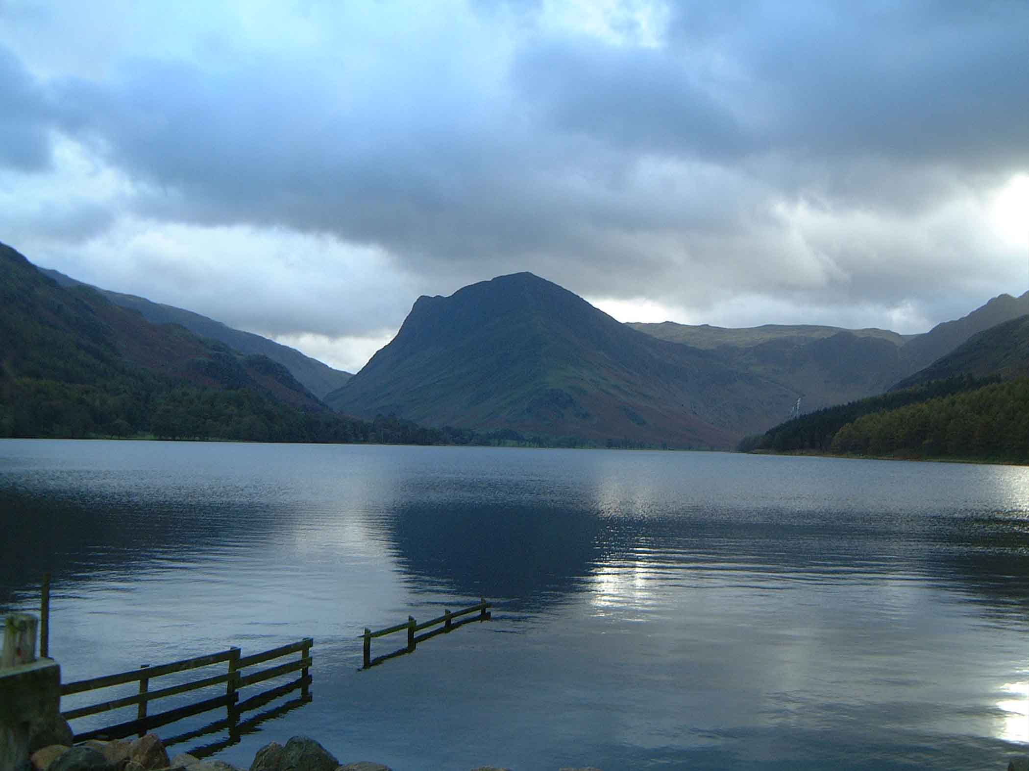
Buttermere
Buttermere is a lake in the Lake District in North West England. It has a length of approximately 2 kilometres (1.2 mi) and a maximum width of 0.54 kilometres...
Nearby Amenities
Located within 500m of 54.527341,-3.2901713Have you been to Bleaberry Tarn?
Leave your review of Bleaberry Tarn below (or comments, questions and feedback).