Altarstone Pool

Lake, Pool, Pond, Freshwater Marsh in Peeblesshire

Scotland

Altarstone Pool

Drumelzier Standing Stone The standing stone near Drumelzier.
Photo taken on the 2nd January 2022.
Drumelzier Standing Stone Credit: Rab McMurdo

Altarstone Pool is a picturesque freshwater marsh located in Peeblesshire, Scotland. It is a small, tranquil body of water nestled amidst rolling hills and lush greenery, making it a haven for nature enthusiasts and those seeking a peaceful retreat.

Measuring approximately 1.5 acres in size, Altarstone Pool has a unique charm that sets it apart from other bodies of water in the region. It is surrounded by a mixture of marshy vegetation, including reeds, rushes, and water lilies, which provide a diverse habitat for a variety of wildlife.

The pool itself is relatively shallow, with an average depth of around 3 feet. The water is crystal clear, allowing visitors to catch glimpses of the aquatic life that thrives beneath the surface. It is home to a rich array of fish species, such as perch, pike, and roach, which attract anglers from far and wide.

The surrounding area offers a range of activities for visitors to enjoy. There are several walking trails that wind through the nearby countryside, allowing visitors to explore the natural beauty of Peeblesshire. Birdwatchers will also find Altarstone Pool to be a haven, as it attracts various species of waterfowl, including ducks, swans, and herons.

Altarstone Pool is a hidden gem in the heart of Peeblesshire, offering a serene and idyllic escape from the hustle and bustle of everyday life. Whether you are an angler, a nature lover, or simply seeking a tranquil spot to unwind, this freshwater marsh is a must-visit destination.

If you have any feedback on the listing, please let us know in the comments section below.

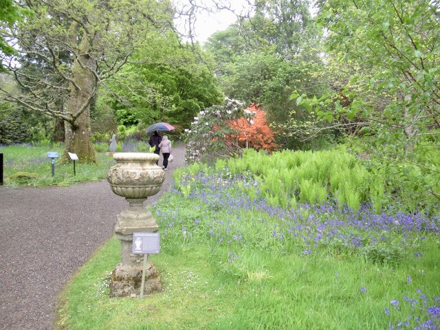
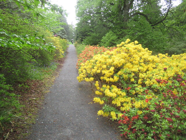
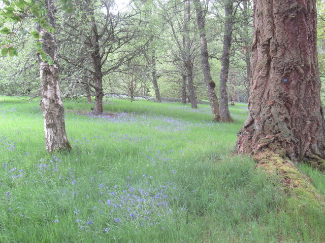
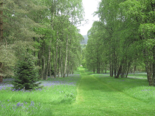
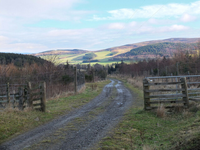
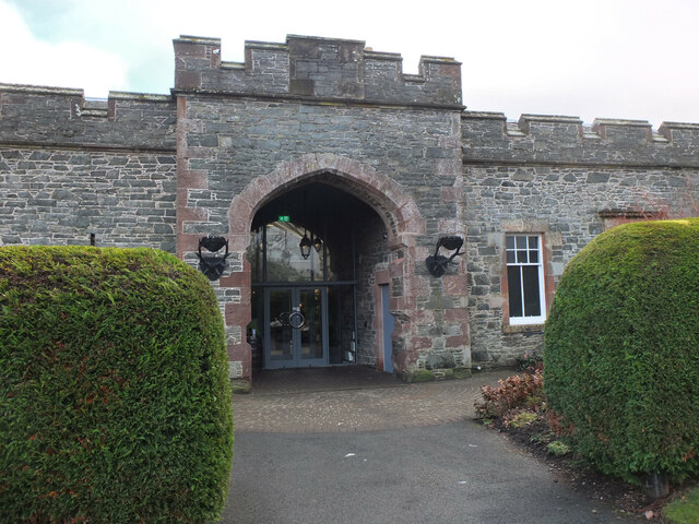
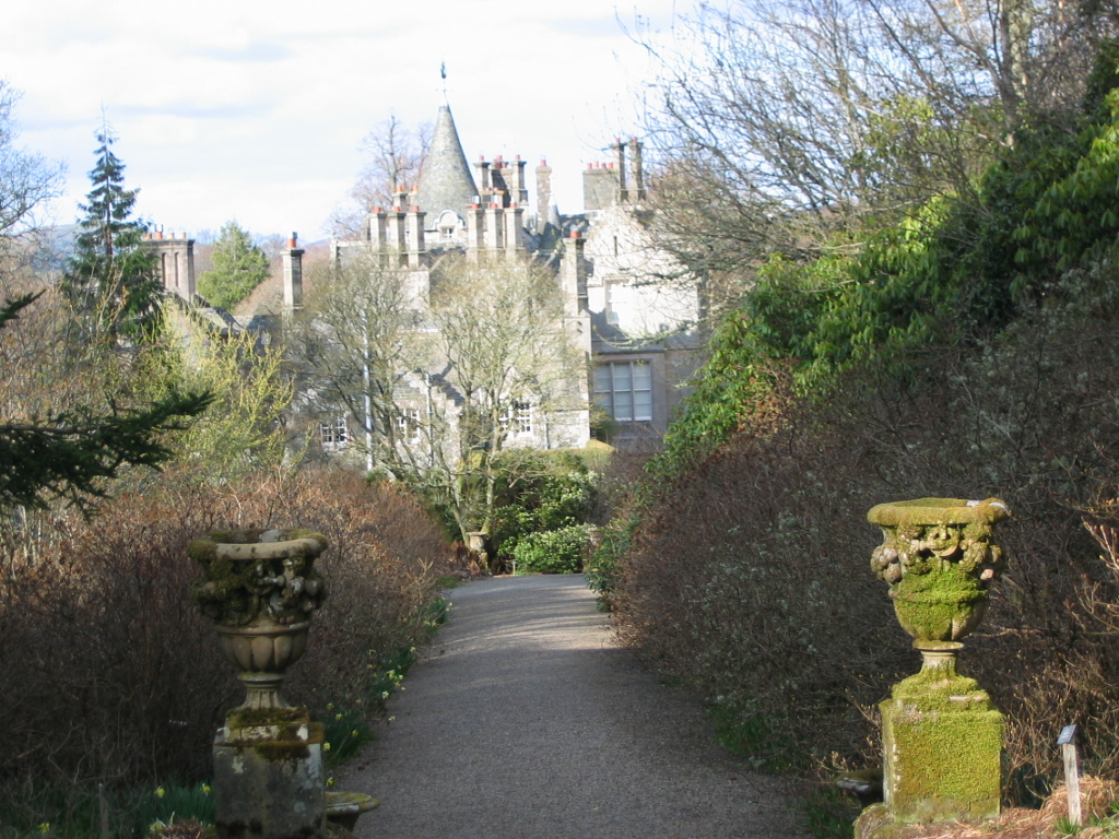
Altarstone Pool Images

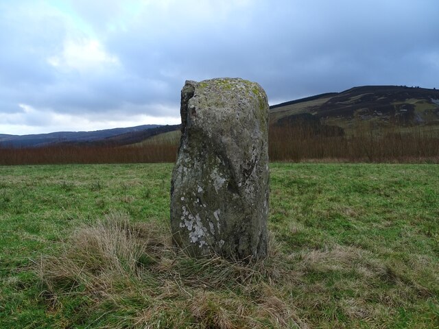
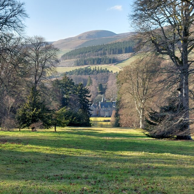
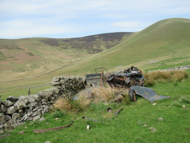
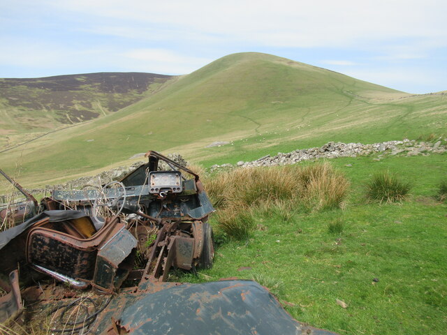
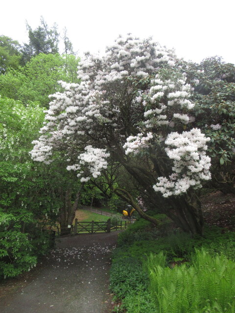
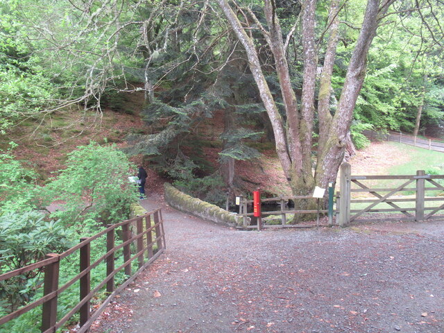
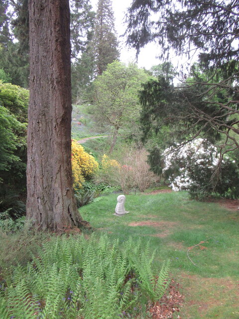
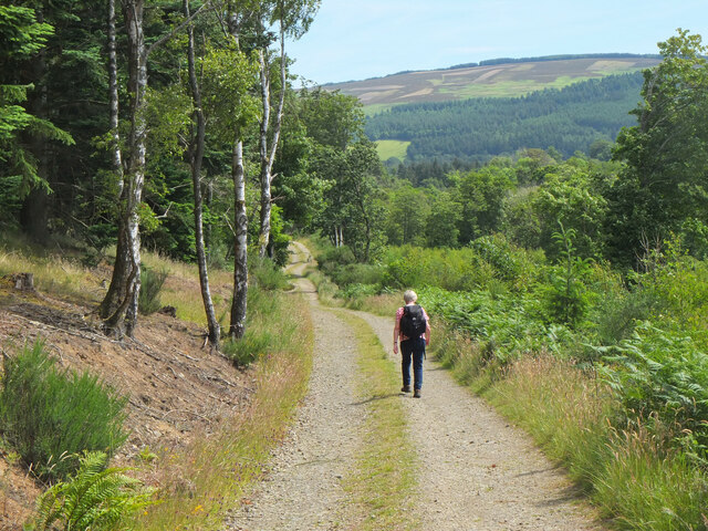
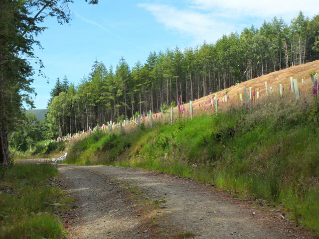
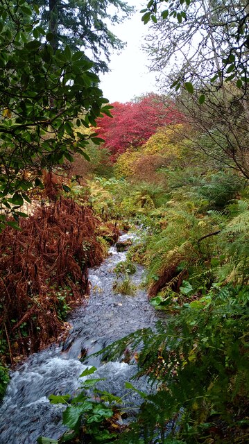
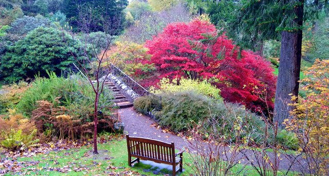
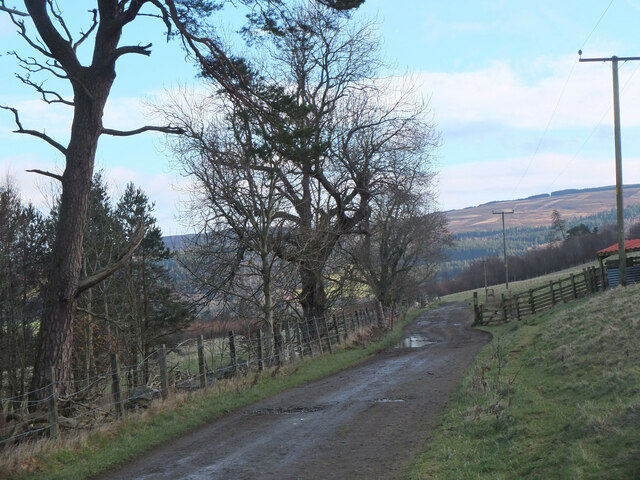
Images are sourced within 2km of 55.607886/-3.3441678 or Grid Reference NT1535. Thanks to Geograph Open Source API. All images are credited.

Drumelzier Standing Stone The standing stone near Drumelzier.
Photo taken on the 2nd January 2022.
Drumelzier Standing Stone
The standing stone near Drumelzier. Photo taken on the 2nd January 2022.
Dawyck Woodland Garden March 2022 This hillside garden adjoins both banks of the Scrape Burn.  Dawyck is managed as an outstation of Edinburgh Royal Botanic Garden, and is noted for its majestic conifers, springtime rhododendrons, and woodland fungi in the autumn.
Dawyck Woodland Garden March 2022
This hillside garden adjoins both banks of the Scrape Burn. Dawyck is managed as an outstation of Edinburgh Royal Botanic Garden, and is noted for its majestic conifers, springtime rhododendrons, and woodland fungi in the autumn.
Remains of a van below Trahenna Hill The old Bedford van/shed photographed by Richard Webb in 2005 (<a href="https://www.geograph.org.uk/photo/44843">NT1336 : Old van, Dreva</a>) has now completely fallen apart, leaving something of an eyesore.
Remains of a van below Trahenna Hill
The old Bedford van/shed photographed by Richard Webb in 2005 (NT1336 : Old van, Dreva) has now completely fallen apart, leaving something of an eyesore.
Remains of a van below Trahenna Hill The old Bedford van/shed photographed by Richard Webb in 2005 (<a href="https://www.geograph.org.uk/photo/44843">NT1336 : Old van, Dreva</a>) has now completely fallen apart, leaving something of an eyesore.

And all with only 80,000-odd miles on the clock – although it may have gone round the clock more than once.
Remains of a van below Trahenna Hill
The old Bedford van/shed photographed by Richard Webb in 2005 (NT1336 : Old van, Dreva) has now completely fallen apart, leaving something of an eyesore. And all with only 80,000-odd miles on the clock – although it may have gone round the clock more than once.
Dawyck Botanic Garden Near the entrance and cafe, heading out into the garden.
Dawyck Botanic Garden
Near the entrance and cafe, heading out into the garden.
Azalea Terrace, Dawyck The Dawyck gardens specialise in rhododendrons from cool climates, some returned from expeditions to the eastern Himalaya in the early 1990s.
Azalea Terrace, Dawyck
The Dawyck gardens specialise in rhododendrons from cool climates, some returned from expeditions to the eastern Himalaya in the early 1990s.
Woodland, Dawyck Botanic Garden Mostly birch here but still with some of the specimen conifers.
Woodland, Dawyck Botanic Garden
Mostly birch here but still with some of the specimen conifers.
Ride, Dawyck Botanic Gardens
Rhododendron, Dawyck Botanic Gardens One of the many rhododendrons in the collection here, many gathered in expeditions to eastern Himalaya in the early 1990s.
Rhododendron, Dawyck Botanic Gardens
One of the many rhododendrons in the collection here, many gathered in expeditions to eastern Himalaya in the early 1990s.
Bridge, Dynamo Pond On the Scrape Burn near the deer fence at the top of the botanic gardens.
Bridge, Dynamo Pond
On the Scrape Burn near the deer fence at the top of the botanic gardens.
Sculpture, Dawyck Botanic Garden
On the track to Stobo An estate track following the course of the Weston Burn towards Home Farm.
On the track to Stobo
An estate track following the course of the Weston Burn towards Home Farm.
Tree planting on Harrow Hill Broadleaved trees have been planted around the edge of the clear-felled section shown in <a href="https://www.geograph.org.uk/photo/6789832">NT1637 : Clear-felled ground, Harrow Hill</a>.
Tree planting on Harrow Hill
Broadleaved trees have been planted around the edge of the clear-felled section shown in NT1637 : Clear-felled ground, Harrow Hill.
Autumn colour at Dawyck The Scrape Burn with a lot of water after a wet October.
Autumn colour at Dawyck
The Scrape Burn with a lot of water after a wet October.
Autumn colour at Dawyck Wind and rain have stripped off much of the autumn colour, but this maple still stands out, bright crimson.
Autumn colour at Dawyck
Wind and rain have stripped off much of the autumn colour, but this maple still stands out, bright crimson.
Track to Stobo The farm track from Stobohope along the southern side of the Weston Burn.
Track to Stobo
The farm track from Stobohope along the southern side of the Weston Burn.
Farm track from Stobohope The track to Stobo Castle and Home Farm. The dip in the skyline ahead is the route of the John Buchan Way over the ridge to Glack Hope and the Manor Valley.
Farm track from Stobohope
The track to Stobo Castle and Home Farm. The dip in the skyline ahead is the route of the John Buchan Way over the ridge to Glack Hope and the Manor Valley.
Spa entrance, Stobo Castle Entrance to the swimming pool and spa next to the main castle building.
Spa entrance, Stobo Castle
Entrance to the swimming pool and spa next to the main castle building.
Show me another place!

Altarstone Pool is located at Grid Ref: NT1535 (Lat: 55.607886, Lng: -3.3441678)

Unitary Authority: The Scottish Borders

Police Authority: The Lothians and Scottish Borders

What 3 Words

///happen.freely.geek. Near Peebles, Scottish Borders

Related Wikis

Bellspool

Bellspool is a village in the Scottish Borders area of Scotland, near to Drumelzier, Hopcarton and Kingledoors == See also == List of places in the Scottish...

Dreva on Tweed

Dreva on Tweed (or simply Dreva) is a hamlet in the Scottish Borders. It was historically in Peebles-shire. It is noted for the historical presence of...

Dawyck Botanic Garden

Dawyck Botanic Garden is a botanic garden and arboretum covering 25 hectares (62 acres) at Stobo on the B712, 8 miles (13 kilometres) south of Peebles...

Dawyck House

Dawyck House is a historic house at Dawyck, in the parish of Drumelzier in the former Peeblesshire, in the Scottish Borders area of Scotland. The alternative...

Nearby Amenities

Located within 500m of 55.607886,-3.3441678
Power: pole
Lat/Long: 55.6043282/-3.3475035
Power: pole
Lat/Long: 55.6045457/-3.3465072
Power: pole
Lat/Long: 55.6045576/-3.3454051
Power: pole
Lat/Long: 55.6046951/-3.3438927
Power: pole
Lat/Long: 55.6048181/-3.342412
Power: pole
Lat/Long: 55.6049257/-3.3409249
Power: pole
Lat/Long: 55.6050356/-3.3394717
Power: pole
Lat/Long: 55.6051479/-3.3380142
Power: pole
Lat/Long: 55.612051/-3.3425547
Power: pole
Lat/Long: 55.6114262/-3.3421803
Power: pole
Lat/Long: 55.6108025/-3.3417996
Power: pole
Lat/Long: 55.6101801/-3.341423
Power: pole
Lat/Long: 55.6095301/-3.3411015
Power: pole
Lat/Long: 55.6087176/-3.3413194
Power: pole
Lat/Long: 55.6080772/-3.3415182
Power: pole
Lat/Long: 55.607659/-3.3399762
Power: pole
Lat/Long: 55.6071942/-3.3402702
Power: pole
Lat/Long: 55.6067294/-3.3405938
Power: pole
Lat/Long: 55.6058237/-3.3407271
Passing Place
Lat/Long: 55.6108029/-3.3494586
The data included in this document is from www.openstreetmap.org. The data is made available under ODbL.

Have you been to Altarstone Pool?

Leave your review of Altarstone Pool below (or comments, questions and feedback).