Dooker's Pool
Lake, Pool, Pond, Freshwater Marsh in Dumfriesshire
Scotland
Dooker's Pool

Dooker's Pool is a small, picturesque freshwater marsh located in Dumfriesshire, Scotland. Nestled within the beautiful countryside, it is a popular spot for nature enthusiasts and birdwatchers alike. The pool is situated near the village of Dunscore and covers an area of approximately 2 acres.
This tranquil body of water is surrounded by lush vegetation, including reeds, water lilies, and various species of aquatic plants. The marshy surroundings create an ideal habitat for a diverse range of wildlife. Dooker's Pool is particularly renowned for its bird population, attracting numerous migratory and resident species throughout the year. Visitors can expect to spot waterfowl such as mallards, tufted ducks, and mute swans, as well as various wading birds including herons and snipes.
The pool itself is relatively shallow, with an average depth of around 3 feet, and is fed by natural springs and rainfall. It is a peaceful and serene location, providing a tranquil atmosphere for those who seek solace in nature. The crystal-clear waters of Dooker's Pool are home to a variety of freshwater fish, making it a popular spot for recreational fishing.
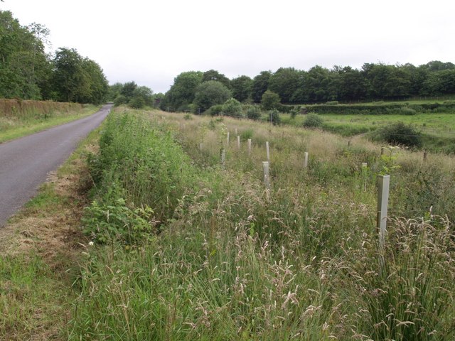
Dooker's Pool is easily accessible, with a small car park and footpath leading to the pool from the nearby village. It is a designated nature reserve, managed by local conservation organizations, to protect and preserve its unique ecosystem. Whether you are a birdwatcher, nature lover, or simply seeking a peaceful retreat, Dooker's Pool offers a wonderful opportunity to immerse yourself in the beauty of Dumfriesshire's natural surroundings.
If you have any feedback on the listing, please let us know in the comments section below.
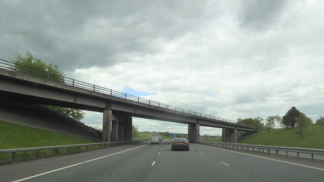
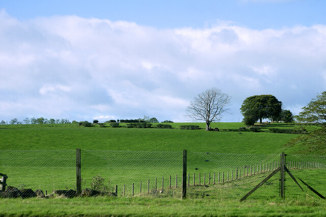
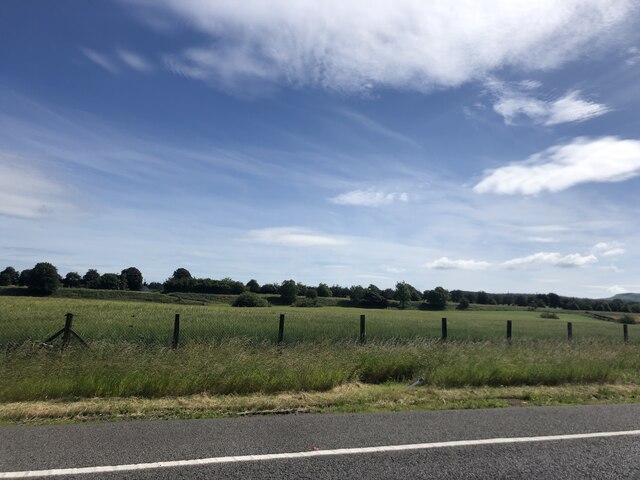
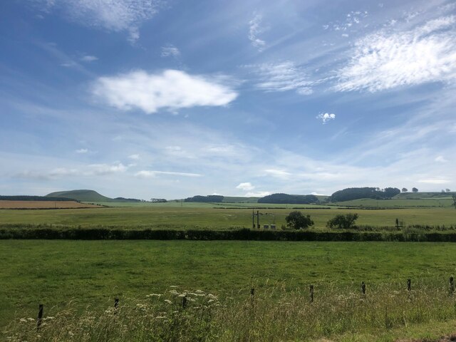
Dooker's Pool Images
Images are sourced within 2km of 55.096779/-3.3269122 or Grid Reference NY1578. Thanks to Geograph Open Source API. All images are credited.


Dooker's Pool is located at Grid Ref: NY1578 (Lat: 55.096779, Lng: -3.3269122)
Unitary Authority: Dumfries and Galloway
Police Authority: Dumfries and Galloway
What 3 Words
///admit.engulfing.trunk. Near Lockerbie, Dumfries & Galloway
Nearby Locations
Related Wikis

Hallmuir Ukrainian Chapel
The Hallmuir Ukrainian Chapel is a chapel built at a Hallmuir prisoner of war camp near Lockerbie in Scotland. After the Second World War, this camp housed...

Pan Am Flight 103
Pan Am Flight 103 (PA103/PAA103) was a regularly scheduled Pan Am transatlantic flight from Frankfurt to Detroit via a stopover in London and another in...

Lockerbie
Lockerbie (, Scottish Gaelic: Locarbaidh) is a town in Dumfries and Galloway, south-western Scotland. It is about 120 km (75 mi) from Glasgow, and 25 km...

Dryfesdale
Dryfesdale ( DRYFSE-dayl) is a civil parish of the council area of Dumfries and Galloway, Scotland. It is part of the county of Dumfriesshire. == Overview... ==

Burnswark Hill
Burnswark Hill (also known as Birrenswark), to the east of the A74(M) between Ecclefechan and Lockerbie in Dumfries and Galloway, Scotland, is a prominent...

Lockerbie Town Hall
Lockerbie Town Hall is a municipal building in the High Street in Lockerbie, Dumfries and Galloway, Scotland. The structure, which is used as a venue for...
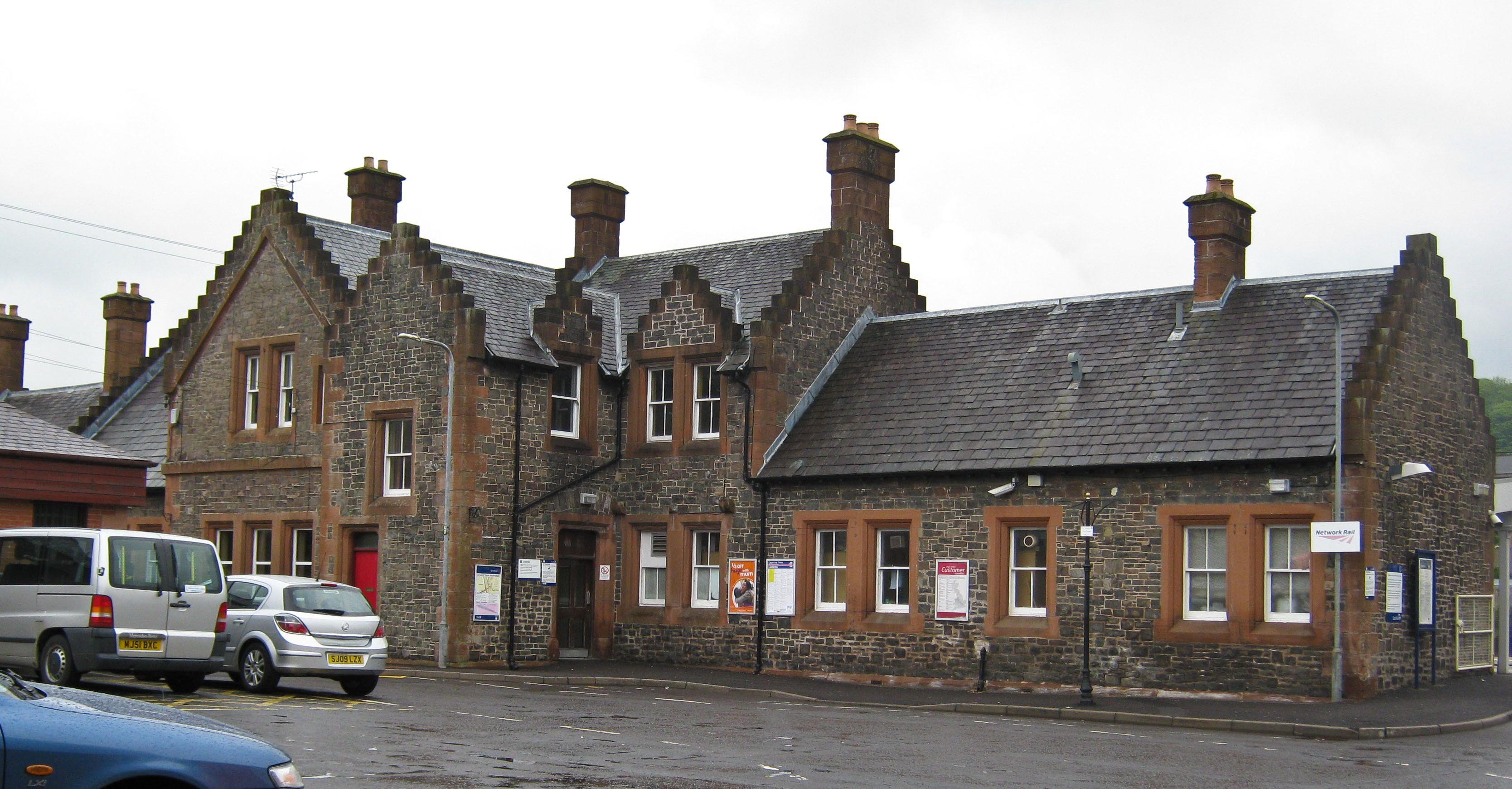
Lockerbie railway station
Lockerbie railway station is a railway station serving the town of Lockerbie, on the West Coast Main Line, Dumfries and Galloway, Scotland. It is located...
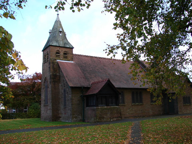
All Saints Church, Lockerbie
All Saints Church is in Ashgrove Terrace, Lockerbie, Dumfries and Galloway, Scotland. It is a Category B listed building and an active Scottish Episcopal...
Nearby Amenities
Located within 500m of 55.096779,-3.3269122Have you been to Dooker's Pool?
Leave your review of Dooker's Pool below (or comments, questions and feedback).